Trail Overview
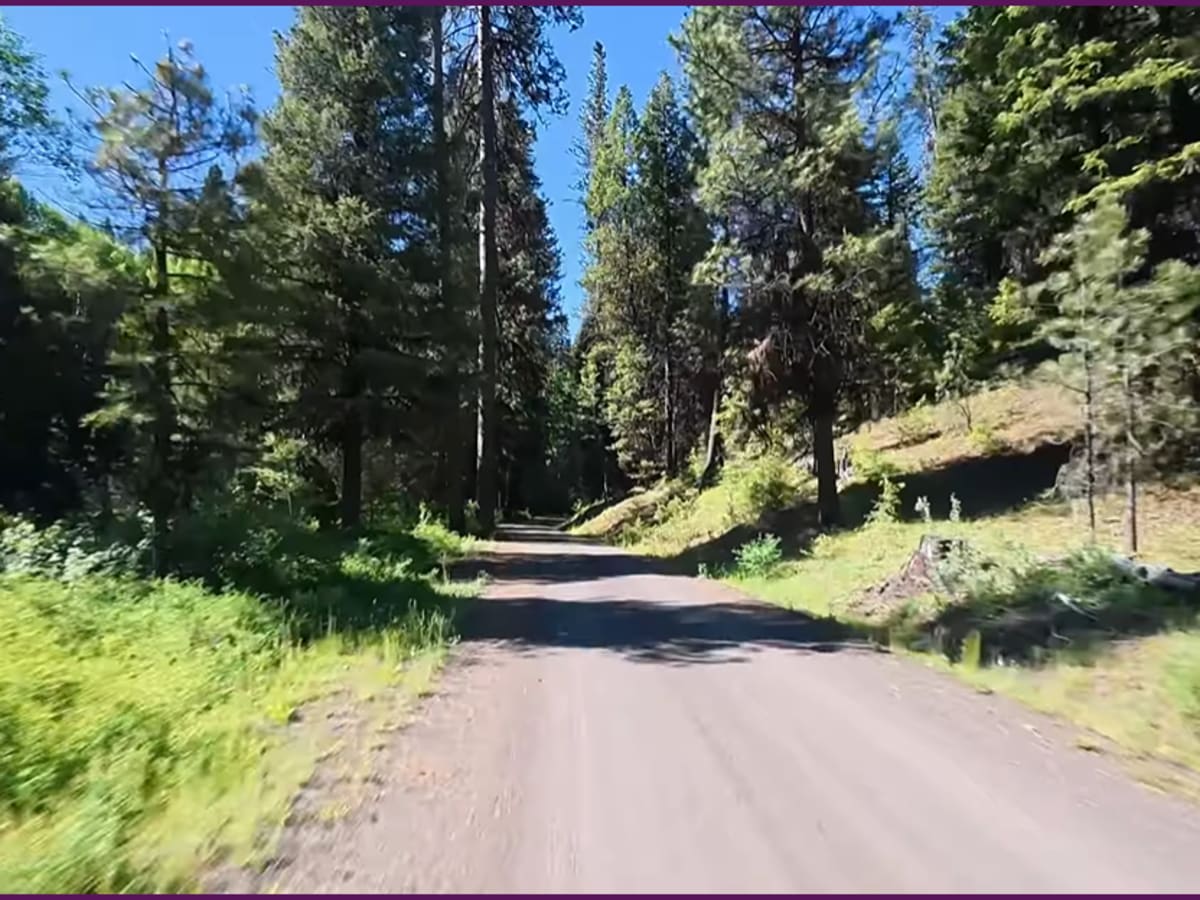
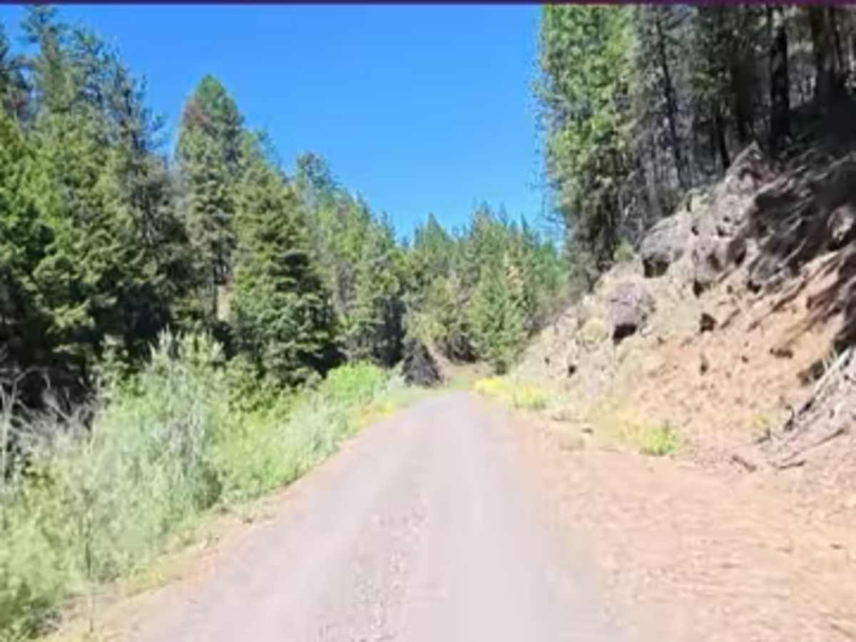
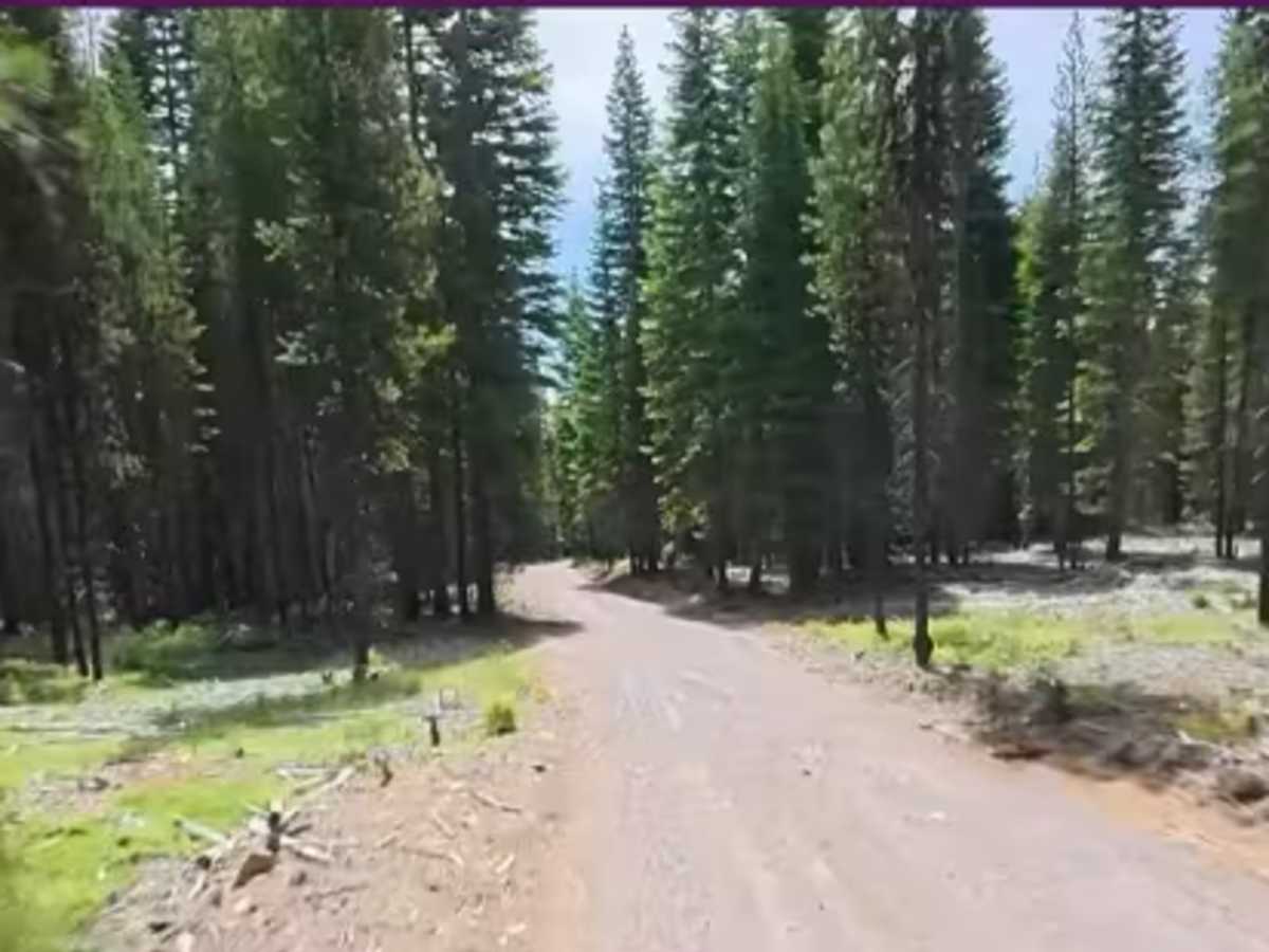
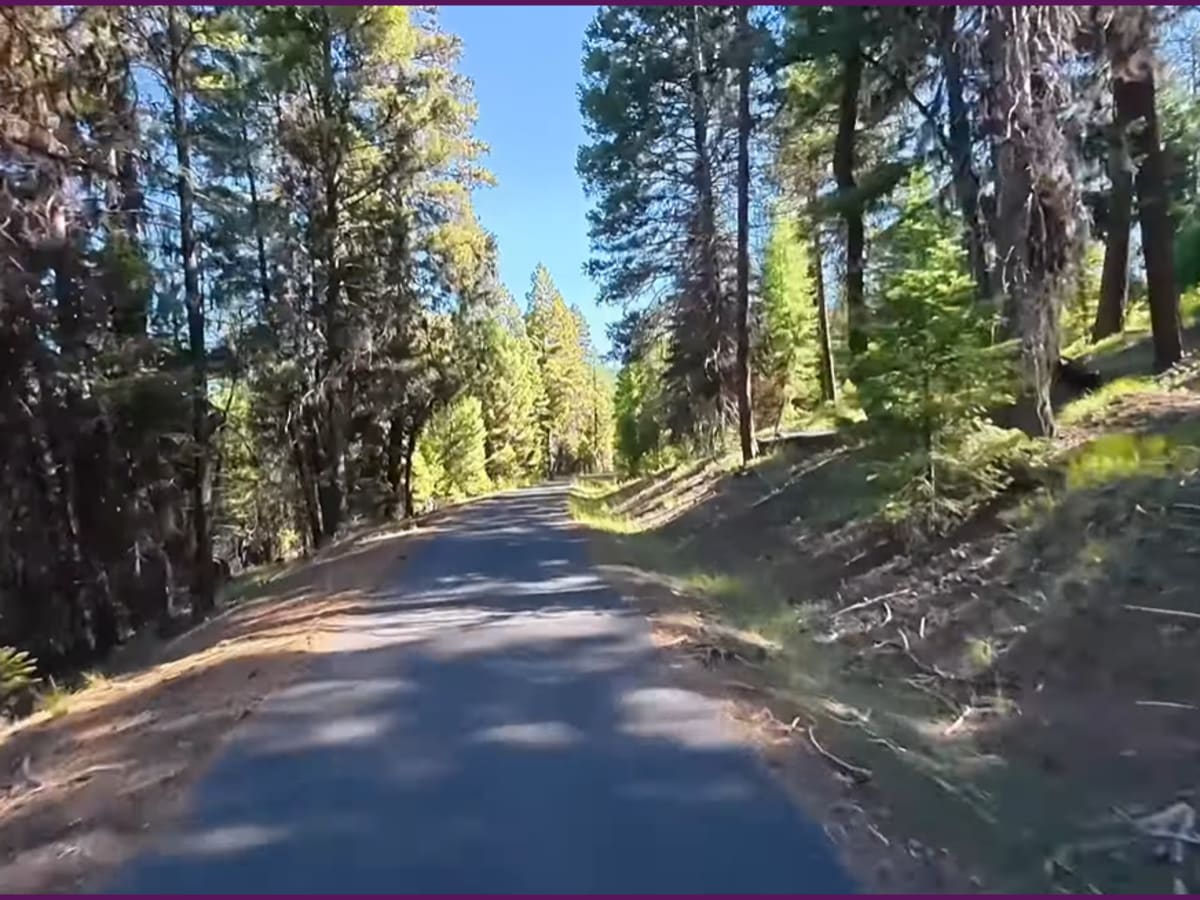
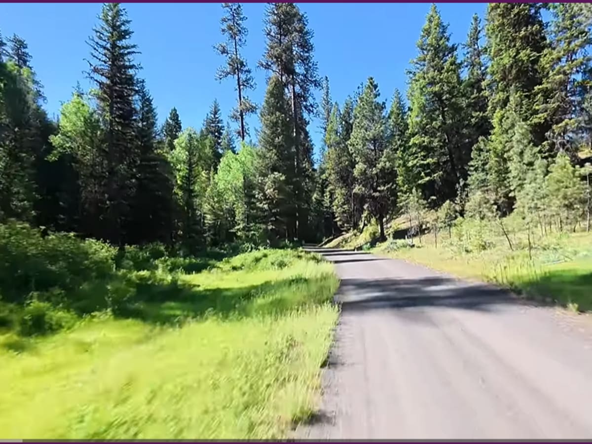
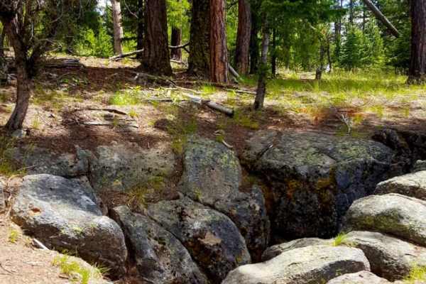
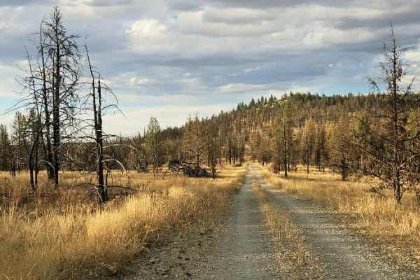
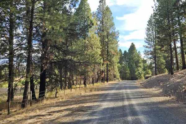
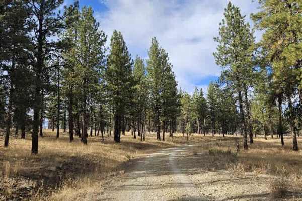
Forest Service Road 24 in the John Day area is a quiet, backcountry forest route that cuts through the wide‑open, rugged terrain of the Malheur National Forest in eastern Oregon, just outside of town. Unlike the dense Cascades, this road runs through classic Blue Mountains country—rolling pine forests mixed with sagebrush, juniper, and high‑desert meadows, with long sightlines and a much drier feel. The route provides access to dispersed campsites, hunting areas, and lesser-traveled trailheads, often following ridgelines or dropping into creek drainages tied into the broader John Day River system. It’s generally a gravel or native-surface road that can range from smooth stretches to rough, rutted sections depending on maintenance and weather, but the payoff is solitude—you’ll see far fewer people than in western Oregon, with big skies, elk country, and that remote “middle of nowhere” eastern Oregon vibe that defines the Malheur.
Difficulty
Wet or snowy weather can make this route very hard to impassible, but during good weather, it's very easy. Street-legal vehicles only.