Trail Overview
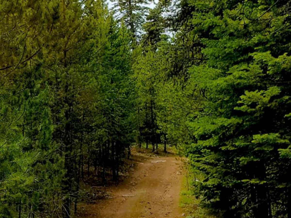
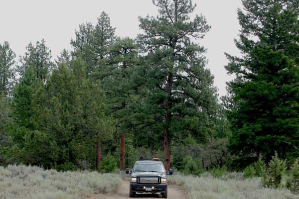
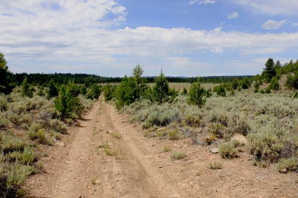
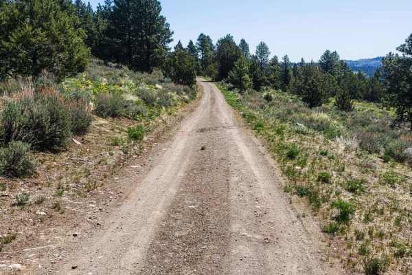
The Myrtle Park Ice Cave trail is an ideal route for offroaders seeking a remote, lesser-known forest journey that leads to a unique geological ice cave and a scenic overlook. Covering approximately 3.9 miles through the Malheur National Forest near the Grant and Harney County line, this relatively easy drive offers a gentle climb with elevations ranging between 5,463 and 5,715 feet. Any four-wheel-drive or high-clearance two-wheel-drive vehicle equipped with rugged tires can navigate the terrain, which consists primarily of unpaved forest dirt. While the trail is manageable for most drivers, some sections narrow significantly and feature embedded rocks measuring up to 12 inches, requiring careful tire placement.
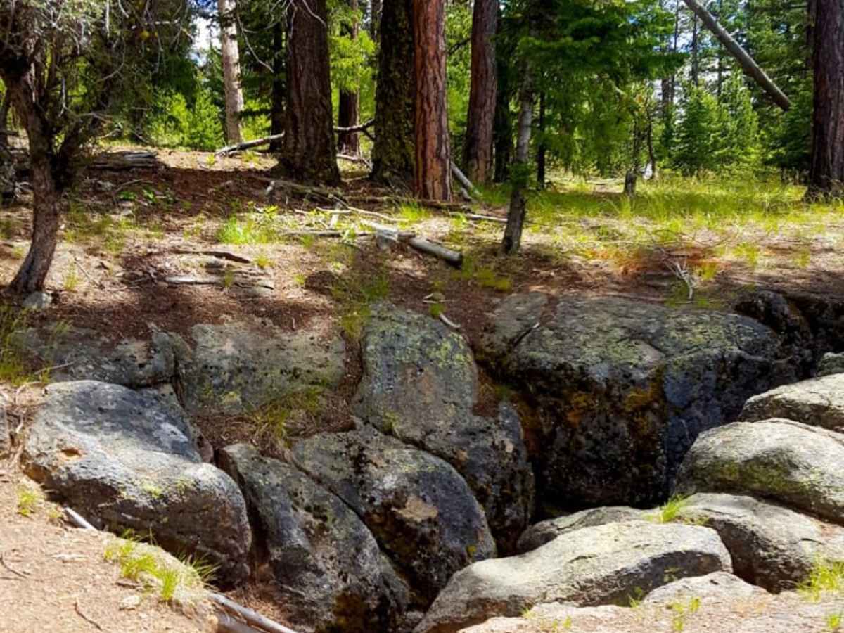
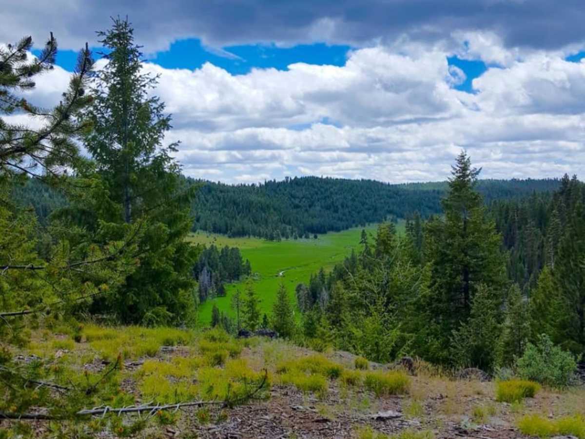
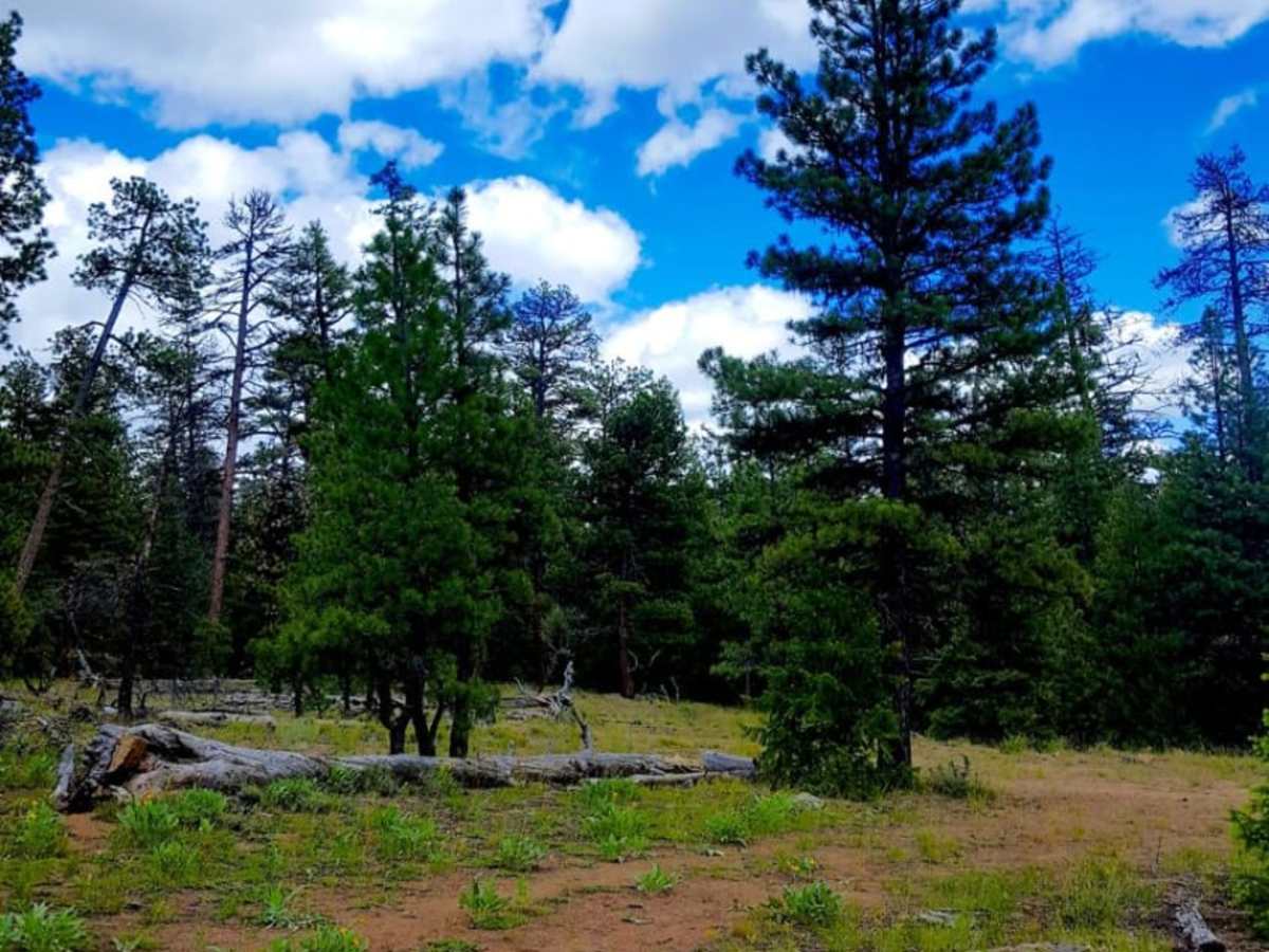
The route winds past Ice Creek and Gold Creek before reaching the historic Myrtle Park Ice Cave, which has been utilized since pioneer times to preserve ice late into the season. Visiting in late spring rewards travelers with prime opportunities for morel mushroom hunting, along with sightings of vibrant wildflowers and unusual pine drops growing beneath the dense pine canopy. The trail ends at an expansive overlook providing sweeping views of the surrounding wilderness, making it a perfect spot to pause before backtracking. Offroaders, including those in SxSs or high-clearance SUVs, will find this a peaceful, scenic escape from more heavily trafficked public lands.
History
The Myrtle Park Ice Cave has been historically significant, serving as a natural refrigeration source utilized by local pioneers since early settlement times.

 Offroad