Trail Overview
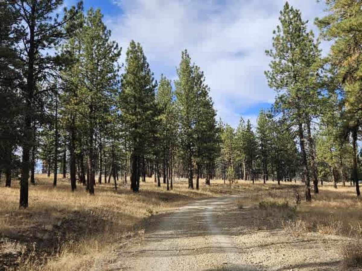
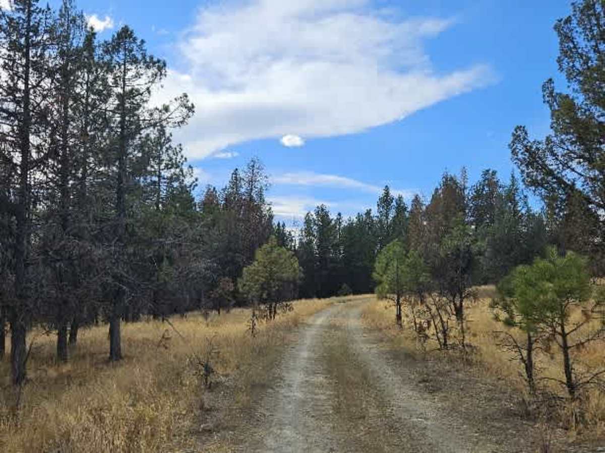
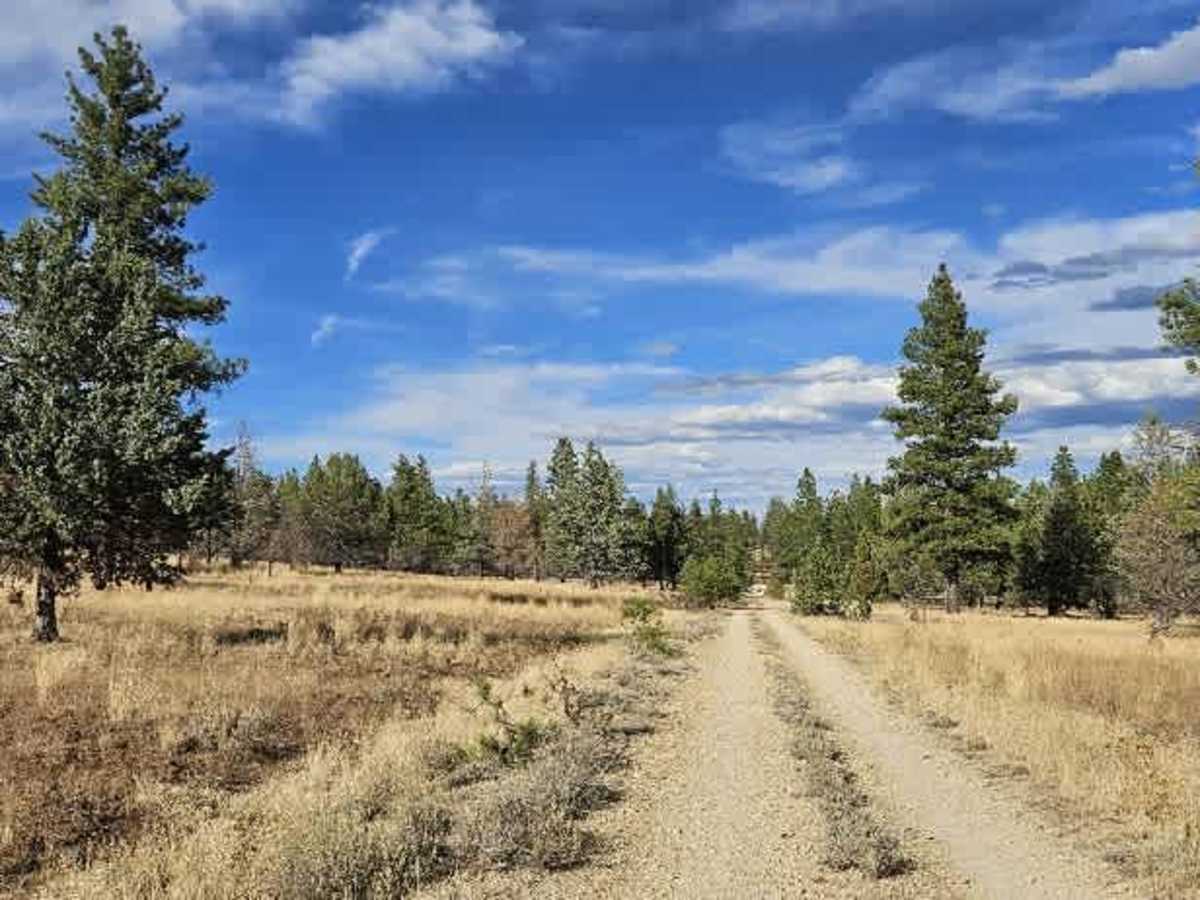
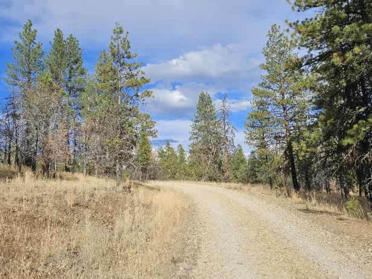
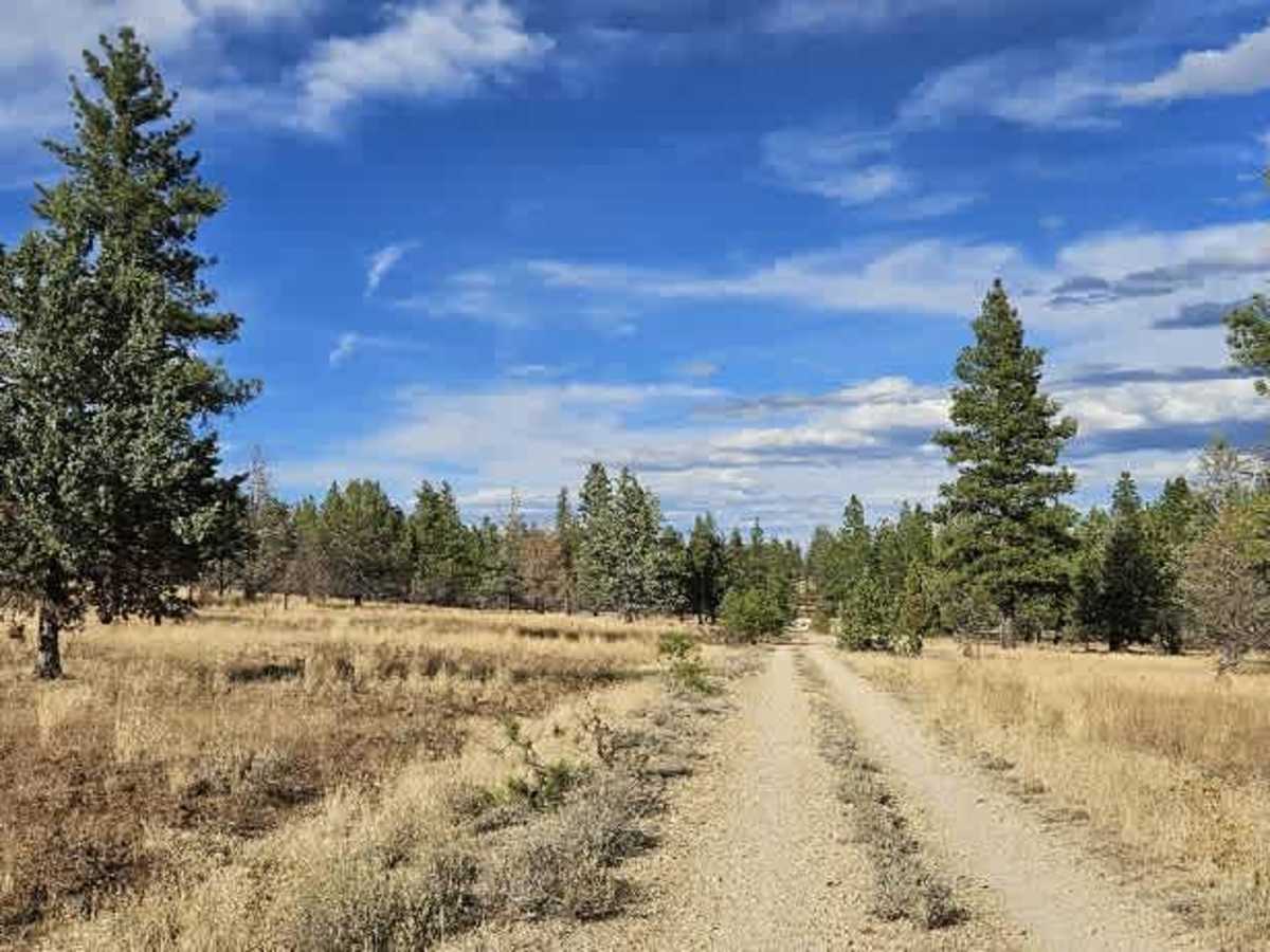
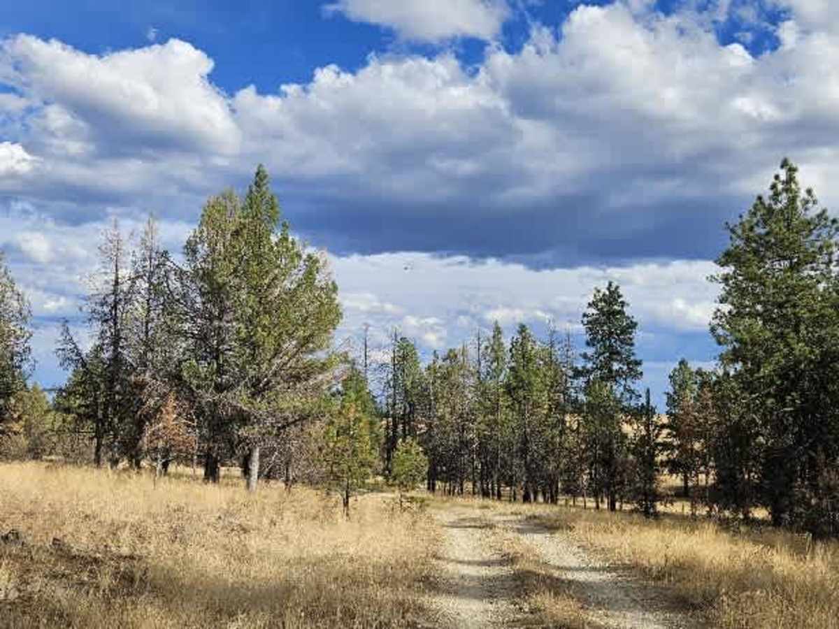
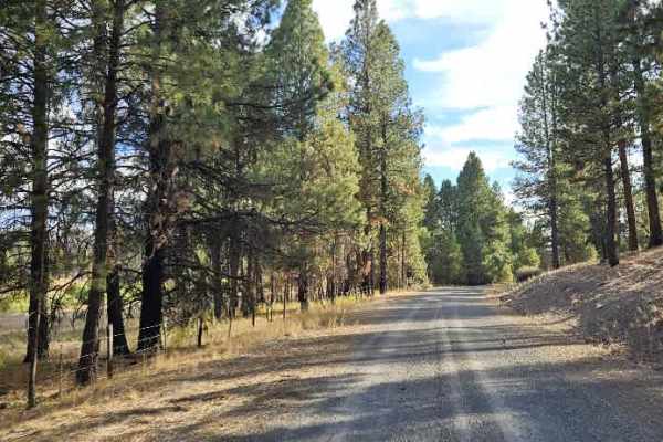
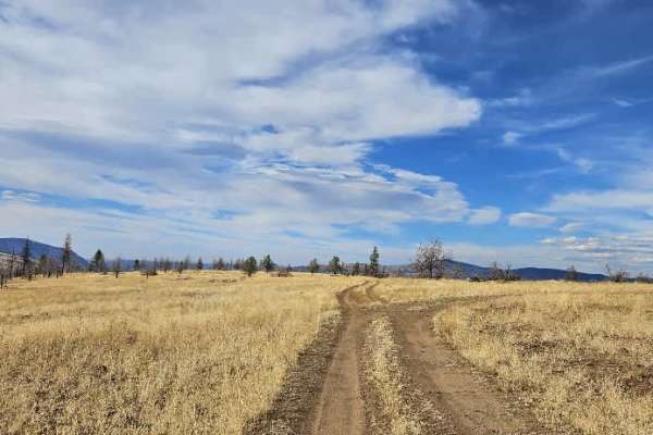
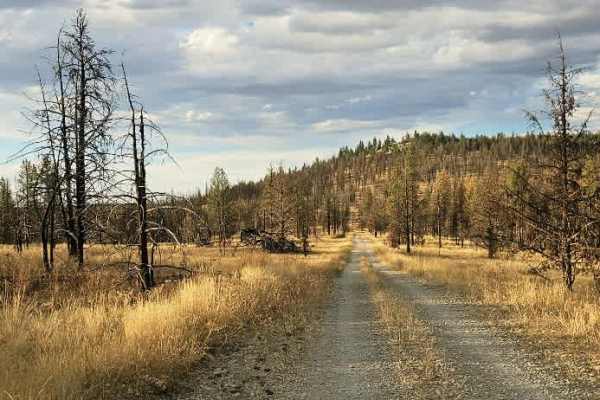
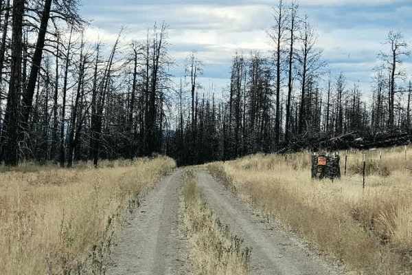
This is a relatively well-maintained trail that climbs into the hills, drops into a small valley, and then climbs again onto a plateau. The route passes through an open forest with tall trees along the roadway, giving it a pleasant, spacious feel. A cattle guard runs along the way, along with a few pullouts that give vehicles room to pass, since much of the trail is single-lane. Conditions change significantly toward the end, particularly around the intersection with FS 650. The road deteriorates into a narrow, overgrown single track with vegetation encroaching on the route. It eventually ends where a large fallen tree blocks the road, and the trail beyond this point appears to have seen little or no recent use. The trail should end here rather than continuing through the overgrowth. A few spots along the route appear suitable for camping, but confirm that camping is permitted before setting up. ATVs, UTVs, Side-by-Sides, and Dirt Bikes must always have a valid Oregon ATV Operating Permit sticker.