Trail Overview
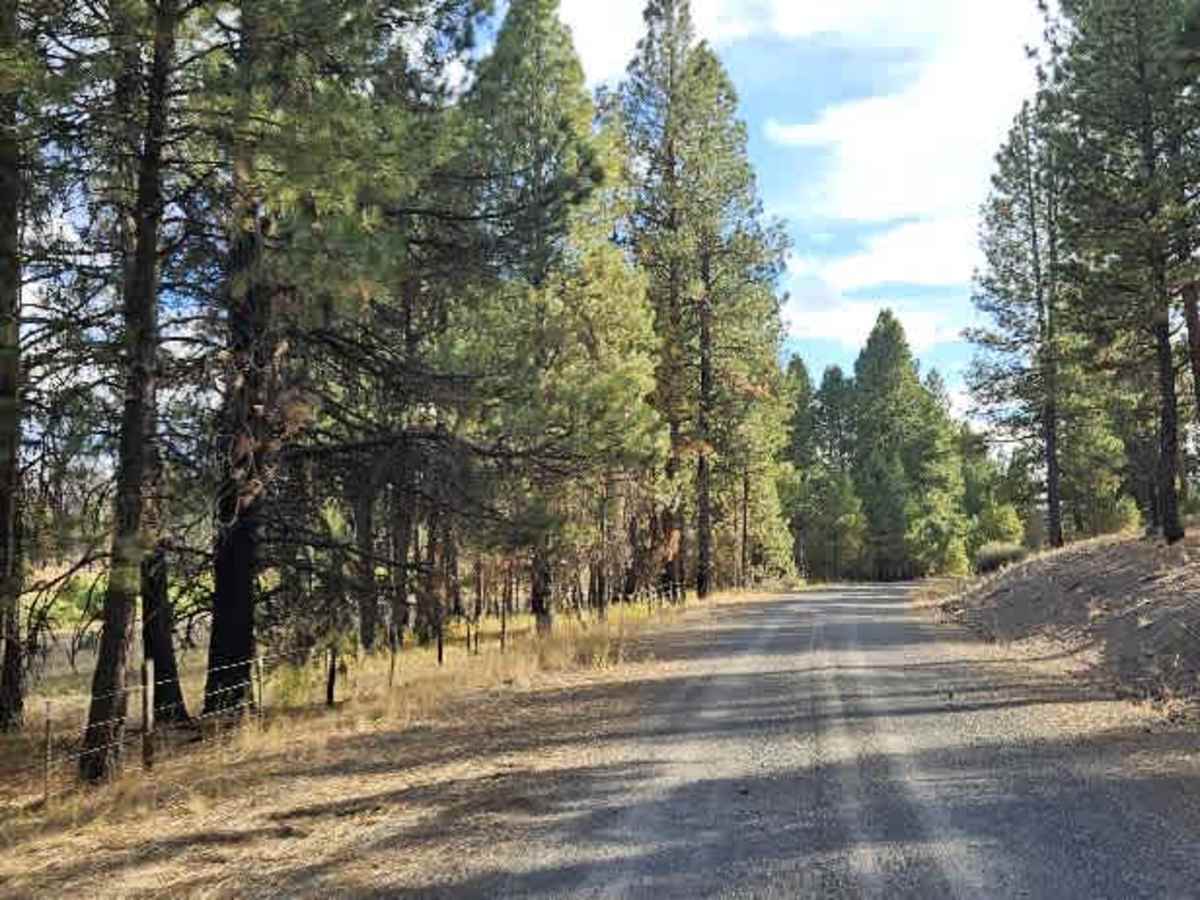
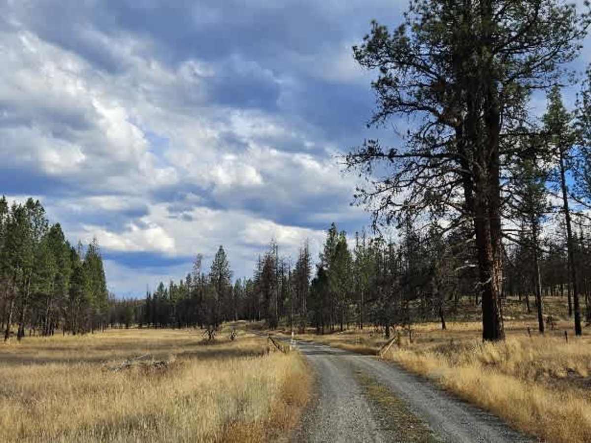
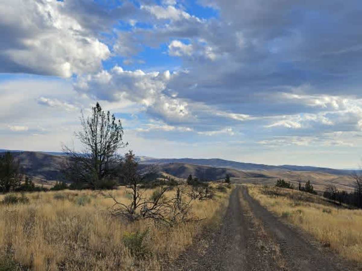
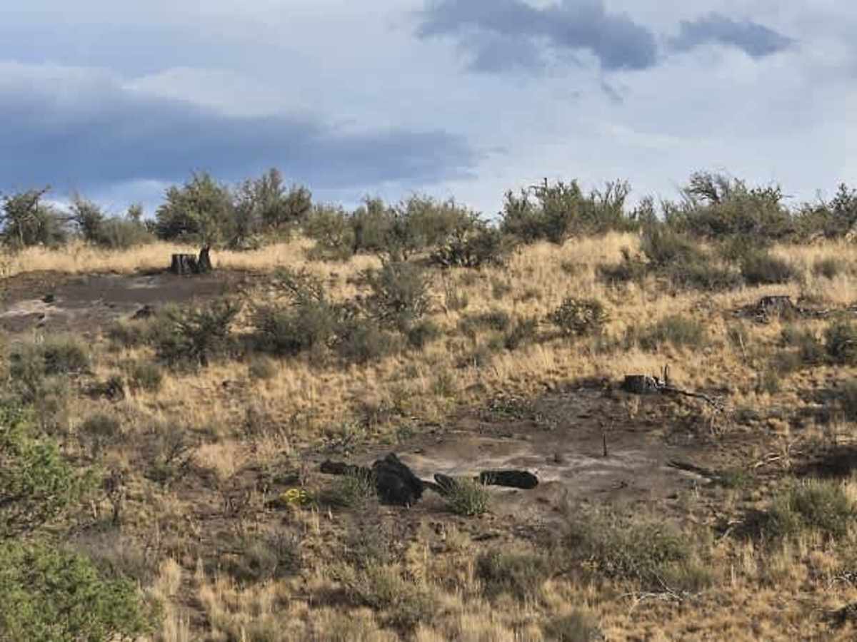
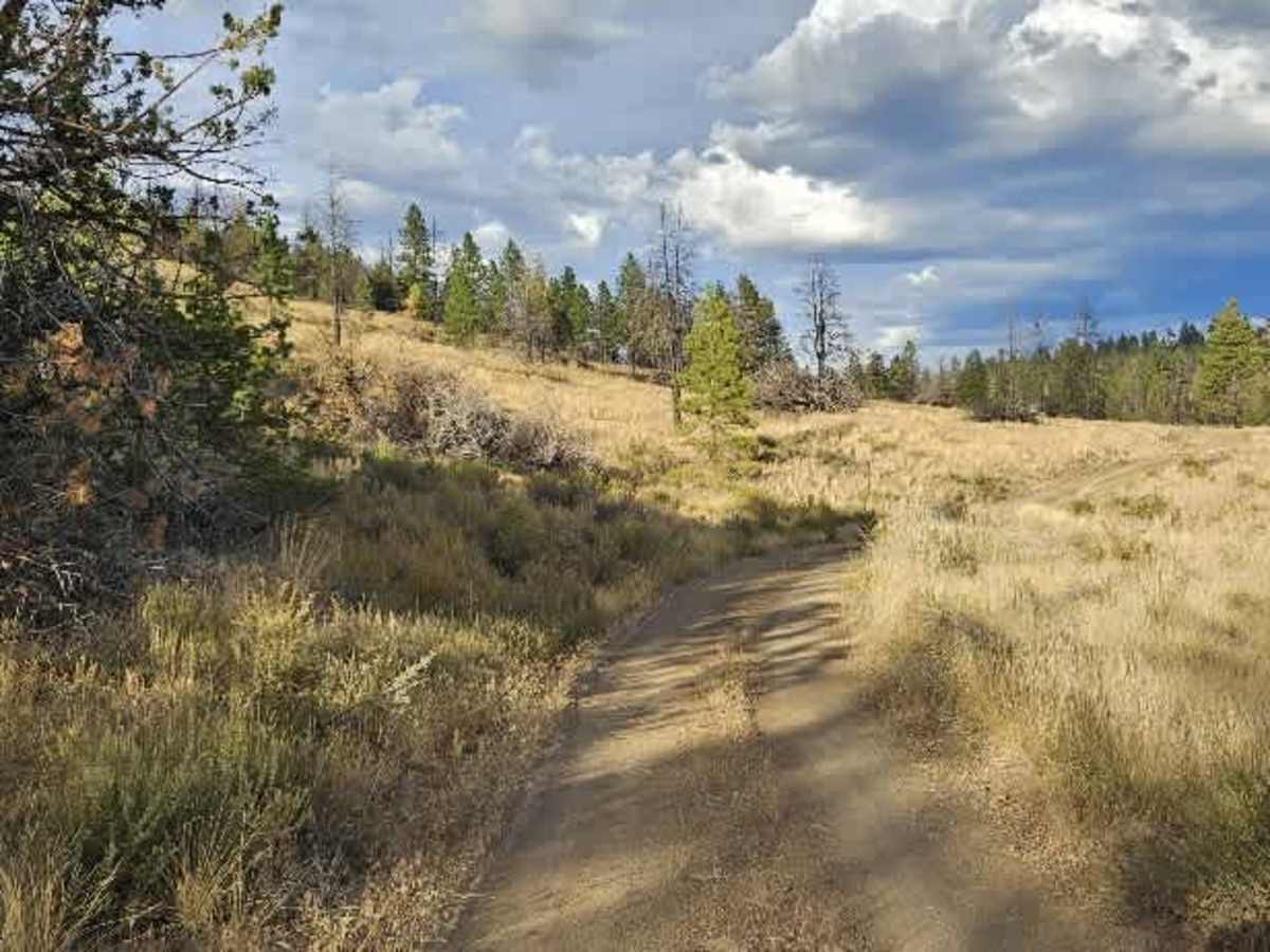
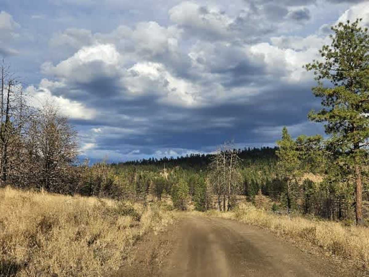
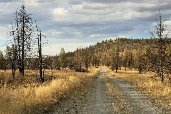
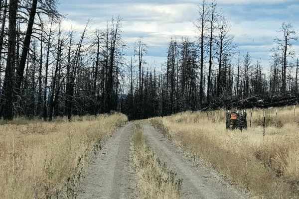
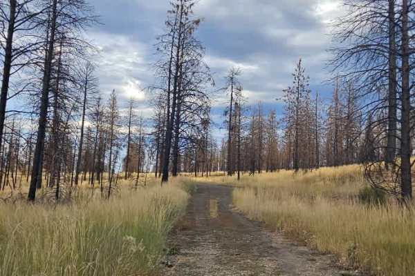
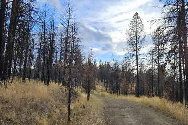
This trail gradually changes from a rocky, rough road into a smoother section with soft sand as it follows the ridge of the mountain. The route eventually dips down into a small valley, where the scenery becomes especially pretty. Along the way, there are areas where trees and brush have been burned, which appears consistent with land management or controlled burning intended to clear older vegetation and encourage new growth. As the trail descends into the valley, sections of the road have been heavily affected by rain, leaving ruts and channels in the surface. The damage is manageable, however, and choosing the right line should allow most capable vehicles to get through without too much trouble. The trail ultimately ends at a ranch, where motorized travel is not permitted beyond the endpoint. Do not continue onto the private property. ATVs, UTVs, Side-by-Sides, and Dirt Bikes must always have a valid Oregon ATV Operating Permit sticker.
Difficulty
This is a scenic route with changing terrain, from rocky ridge sections to soft sand and rain-damaged valley roads, making it an enjoyable drive with a few areas that require extra attention.