Trail Overview
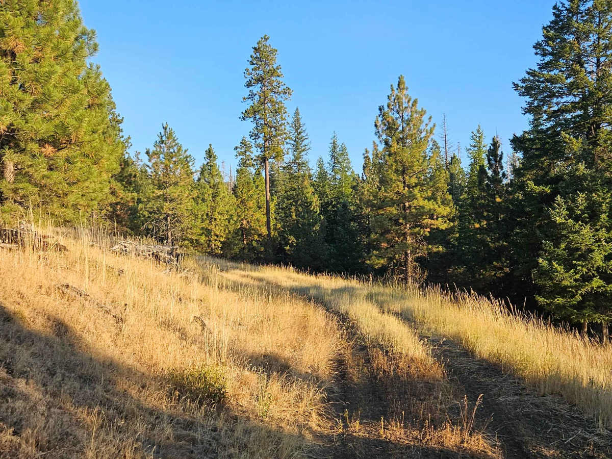
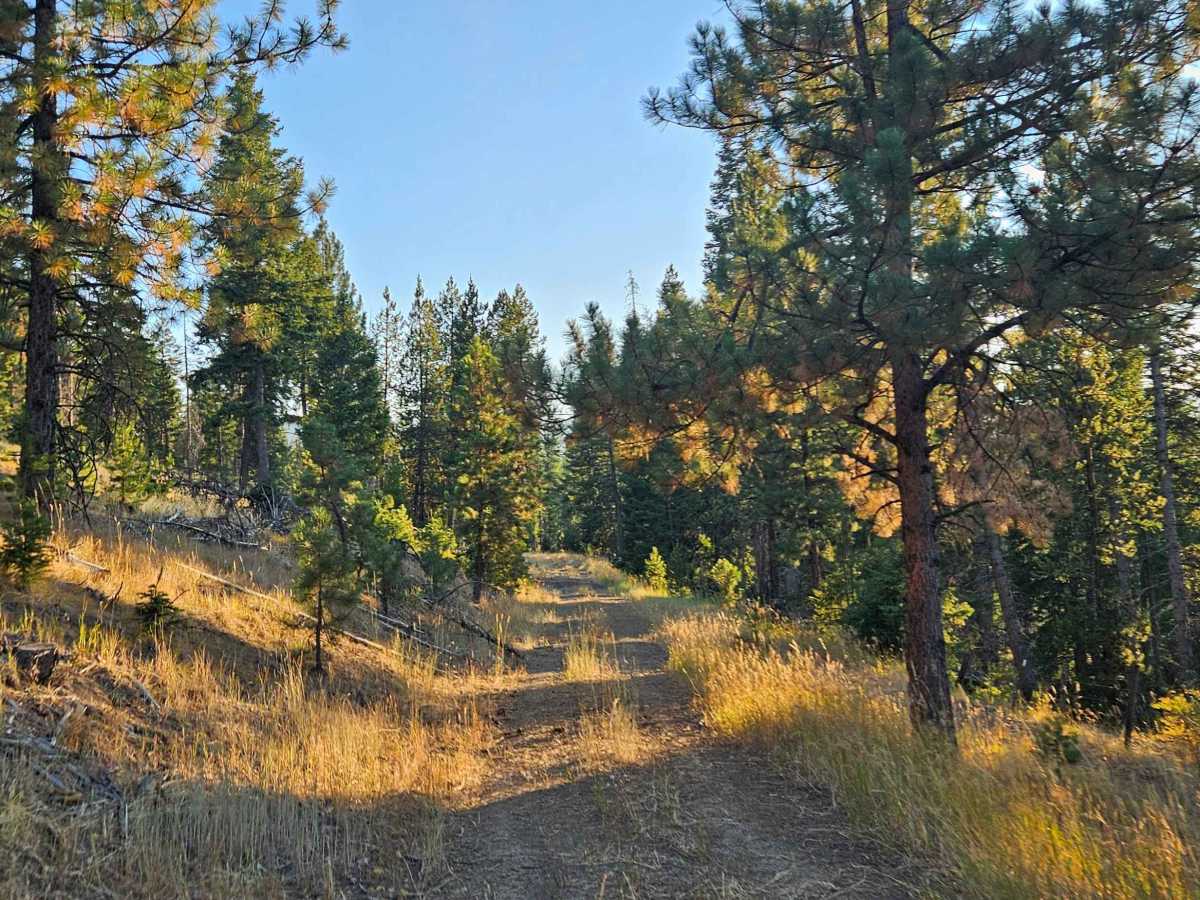
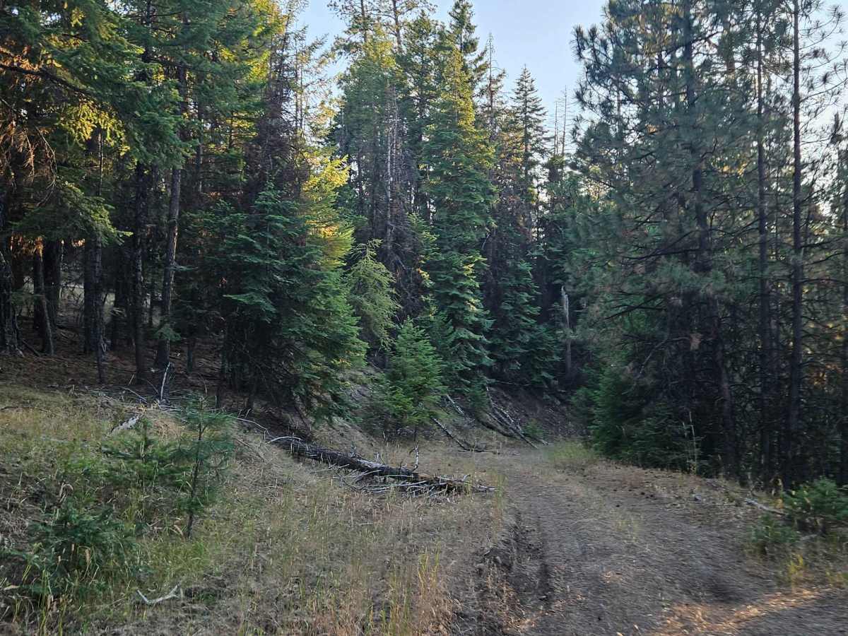
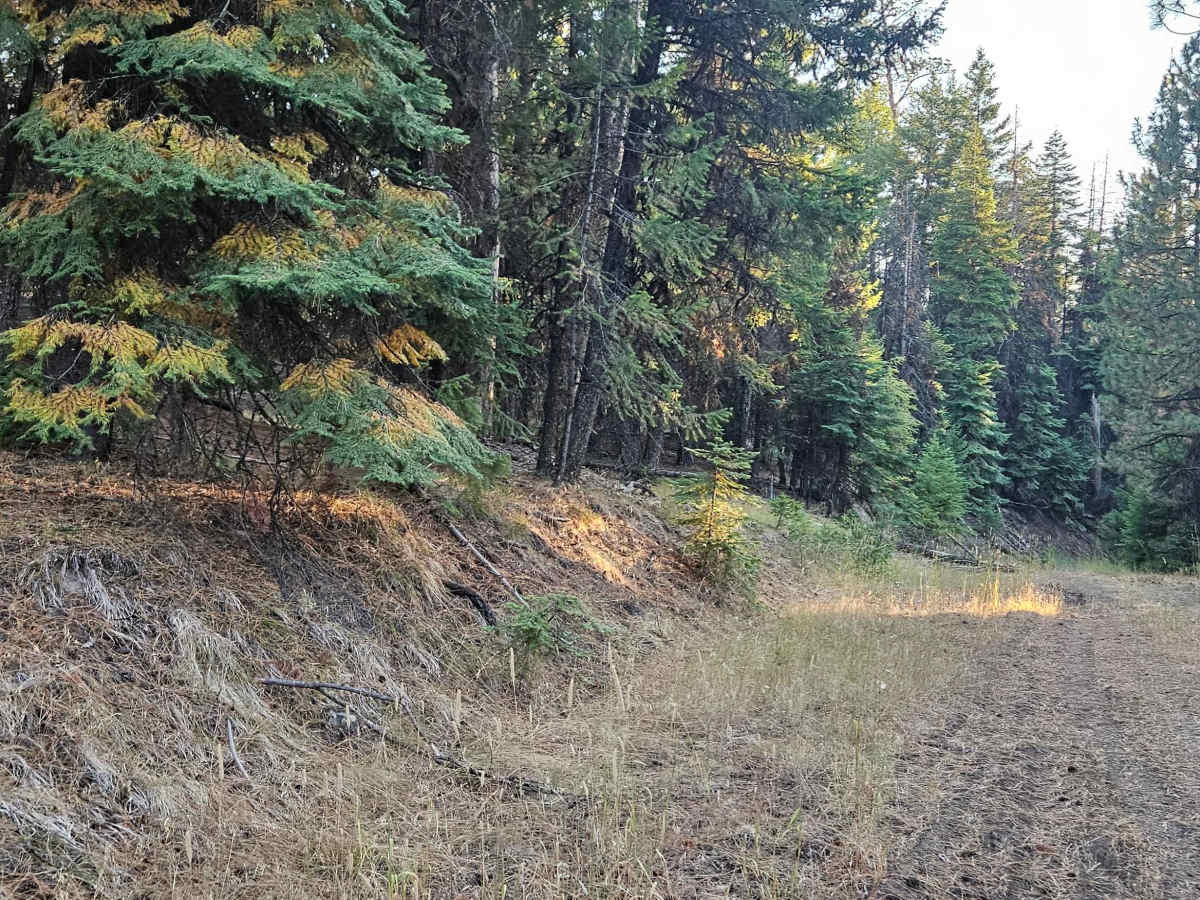
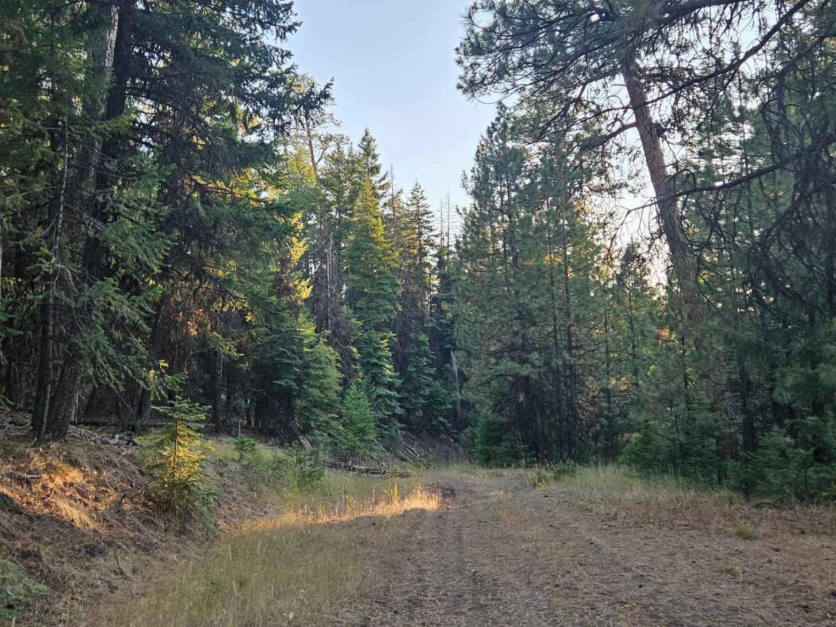
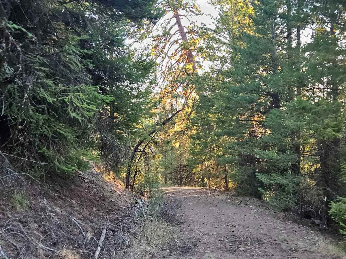
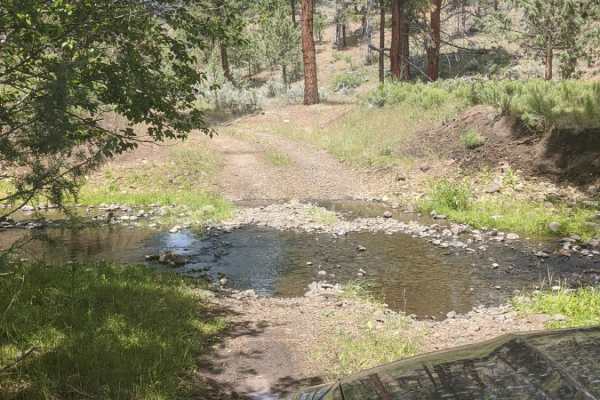
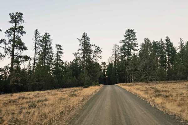
This unmaintained trail winds through a grassy valley with beautiful views of the surrounding landscape and a farmer’s property below. The route is heavily covered in tall grass, so please exercise extra caution to avoid fire hazards. There are several large ditches, deep potholes, and sizeable rocks along the trail, although fallen logs and trees appear to have been cleared from the route. Near the upper section, large rocks have been placed along the incline, and conditions can worsen significantly in wet or rainy weather. The trail passes close to the farmer’s property for much of its length, with a gate leading onto private property, so please respect the property boundaries. Deer, antelope, and other wildlife may also be present in the area. Due to the tall, dry grass and wildfire risk, carry a shovel and a fire extinguisher of at least two pounds, and ensure your vehicle has appropriate exhaust protection or a spark arrestor. Although the map suggests the trail continues, it actually ends at the surveyed endpoint. A rough route continues toward another trail but should only be attempted by high-clearance vehicles, ATVs, or SxSs. ATVs, UTVs, Side-by-Sides, and Dirt Bikes must always have a valid Oregon ATV Operating Permit sticker.
Difficulty
Large ditches, deep potholes, and loose rocks make this a challenging trail, especially when wet.

 Offroad