FS 2200602

Total Miles1.2
Technical Rating
2Easy
Best TimeSpring, Summer, Fall
Trail TypeFull-Width Road
Accessible By
Open Trail Map

Trail Overview

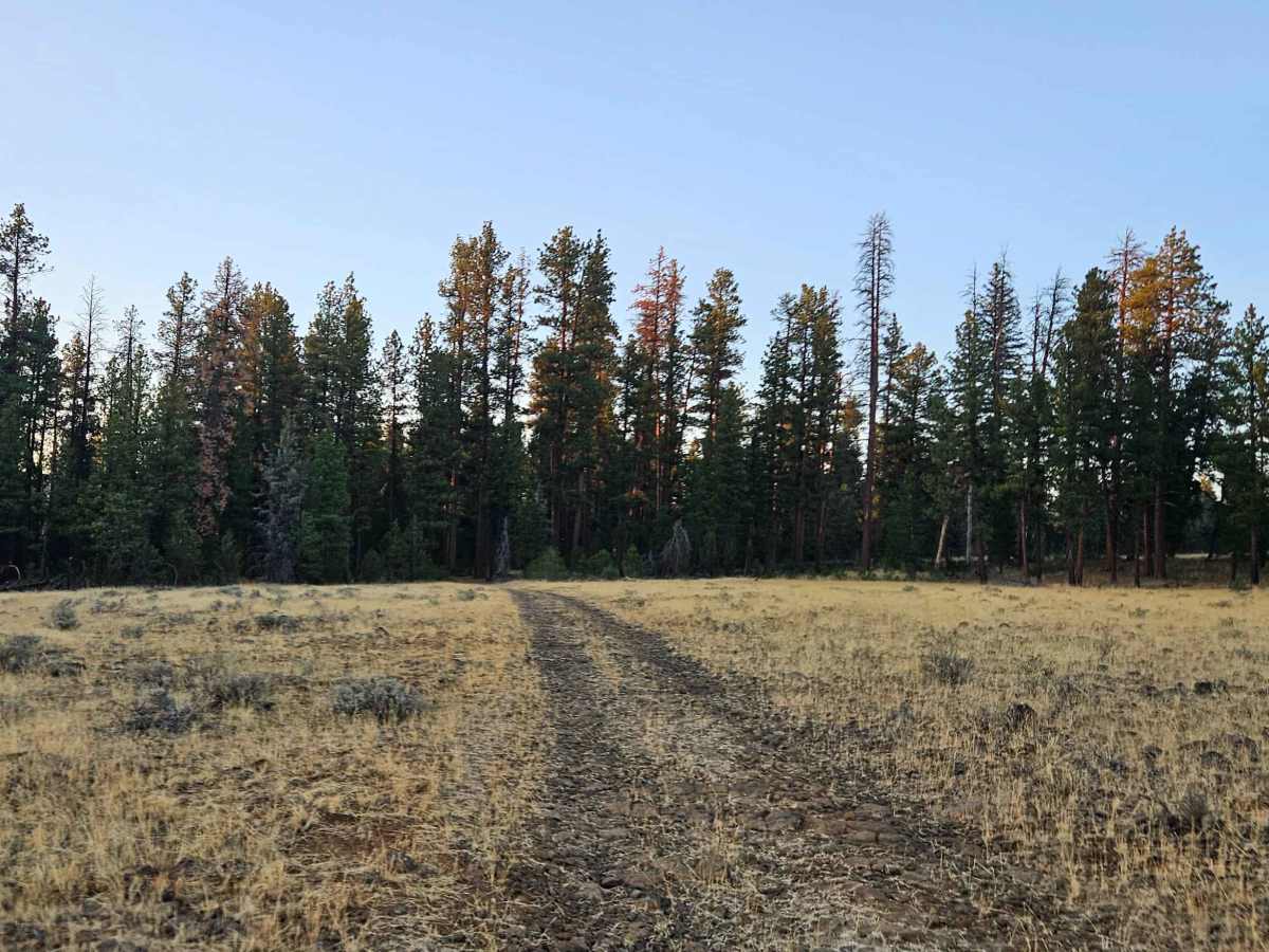
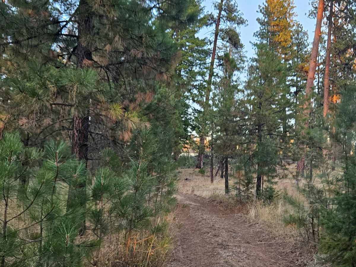
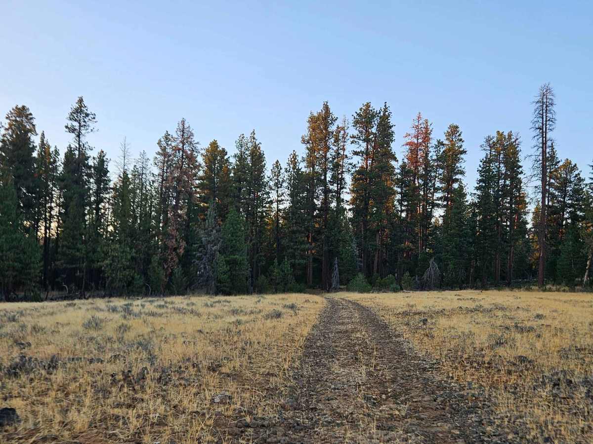
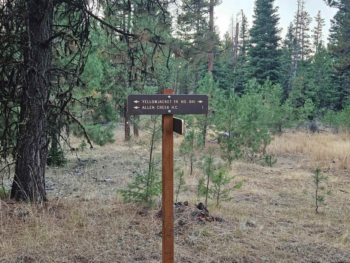
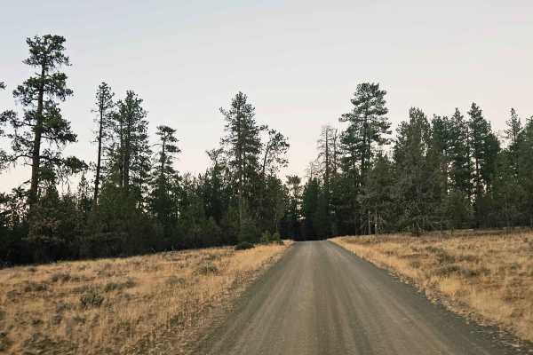
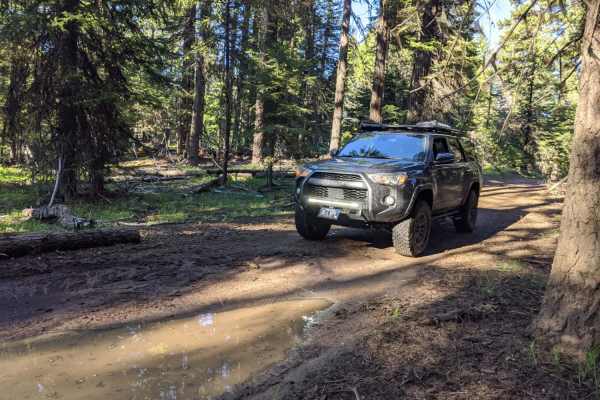
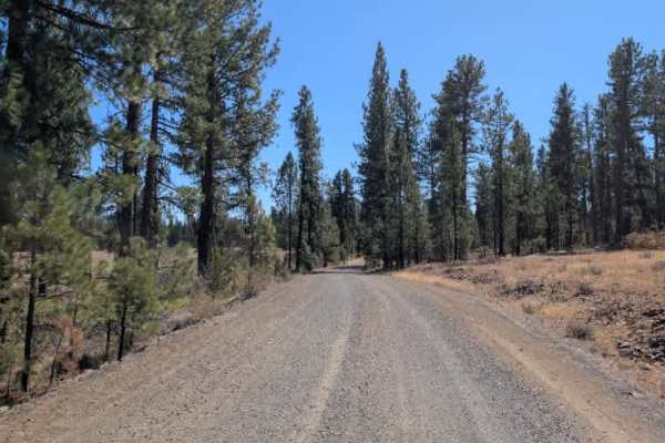
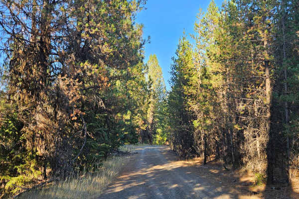
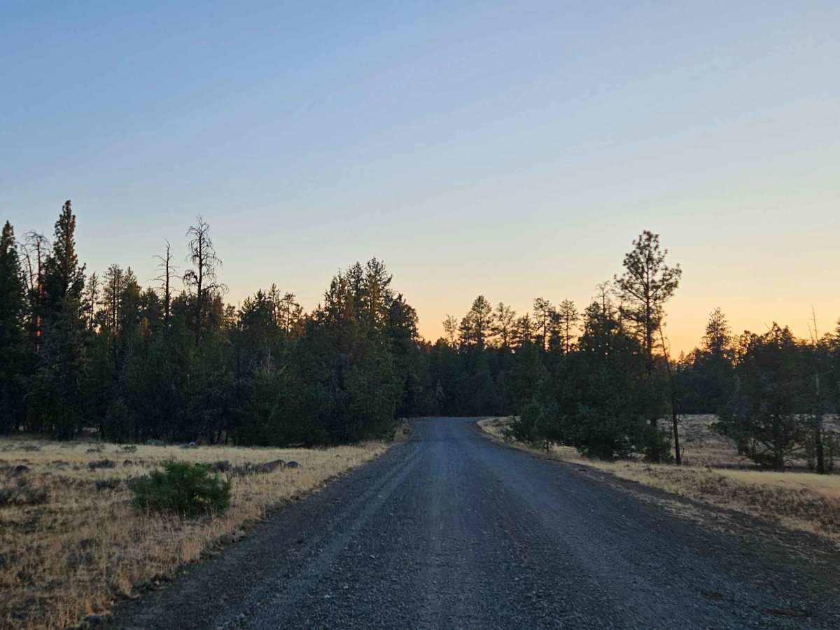
This is a fun, user-maintained trail that begins on a rocky plateau before climbing into the surrounding forest. The route passes through an area with plenty of cattle and livestock, and heavy rain has created several large ditches along the trail, which cattle traffic has worsened. Because of these conditions, avoid this trail during the rainy season. Two gates along the route need to be closed after passing through. Fallen trees and other obstacles are also present, so carrying a chainsaw may be useful for clearing minor blockages. High clearance is essential, and some sections will require a raised suspension to navigate the larger ditches and uneven terrain. Beyond the more difficult sections, the trail is generally manageable for a capable 4x4. ATVs, UTVs, Side-by-Sides, and Dirt Bikes must always have a valid Oregon ATV Operating Permit sticker. If traveling between August 20 and November 20, 2026, please note that seasonal area closures may be in effect. The U.S. Forest Service (USFS) and the Department of Fish and Wildlife impose these restrictions.

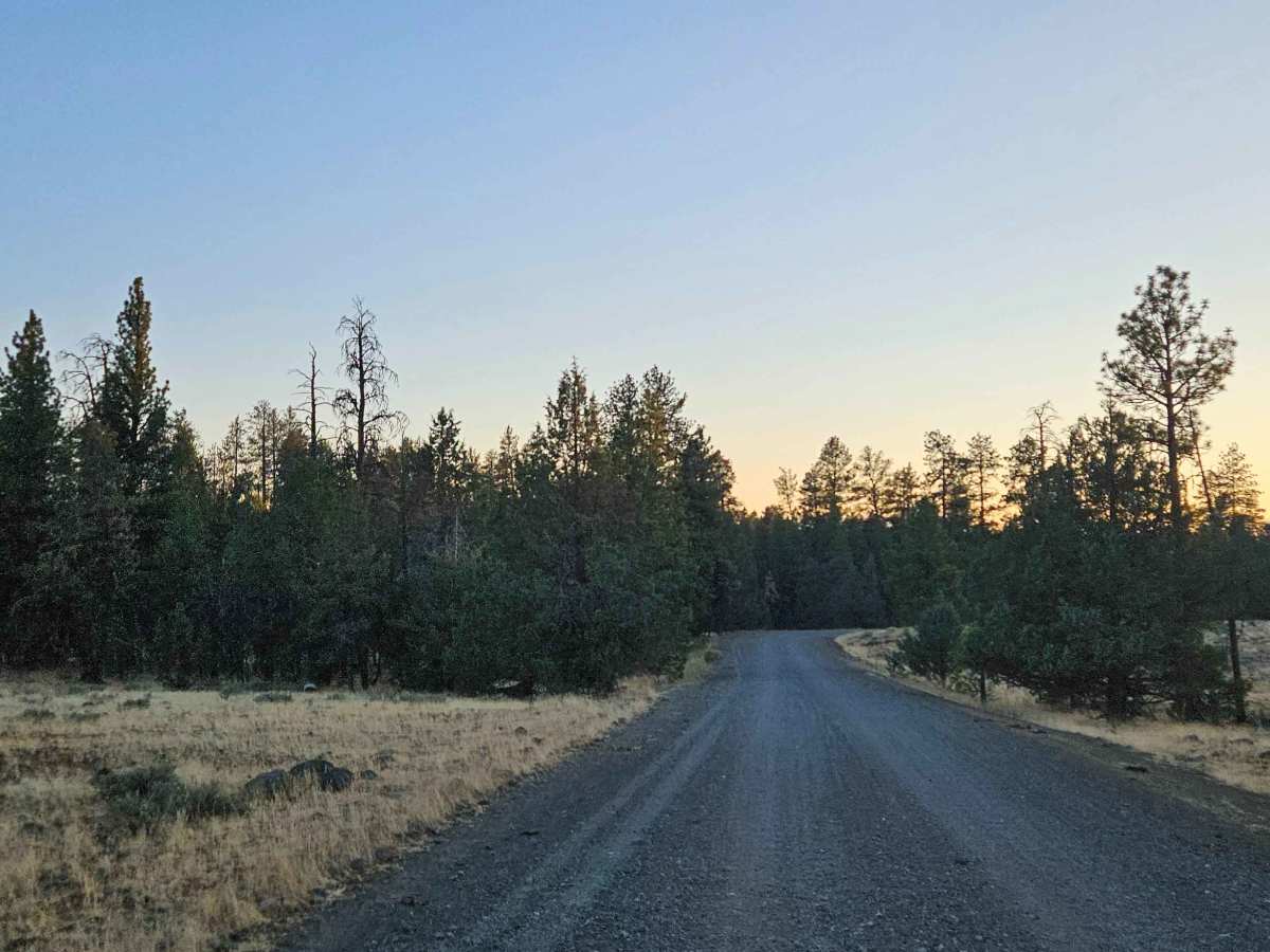
Photos of FS 2200602

Difficulty

Large ditches, uneven terrain, and fallen trees make this a challenging trail requiring high clearance.

Technical Rating

2

FS 2200602 Trail can be accessed by the following ride types:

  • Single Track
  • 50 Inch
  • 60 Inch
  • High Clearance
  • Full Width

FS 2200602 Map

The onX Offroad Difference

onX Offroad combines trail photos, descriptions, difficulty ratings, width restrictions, seasonality, and more in a user-friendly interface. Available on all devices, with offline access and full compatibility with CarPlay and Android Auto. Discover what you're missing today!

Open Trail Map