Trail Overview
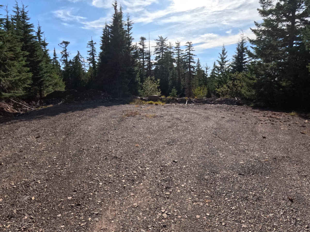
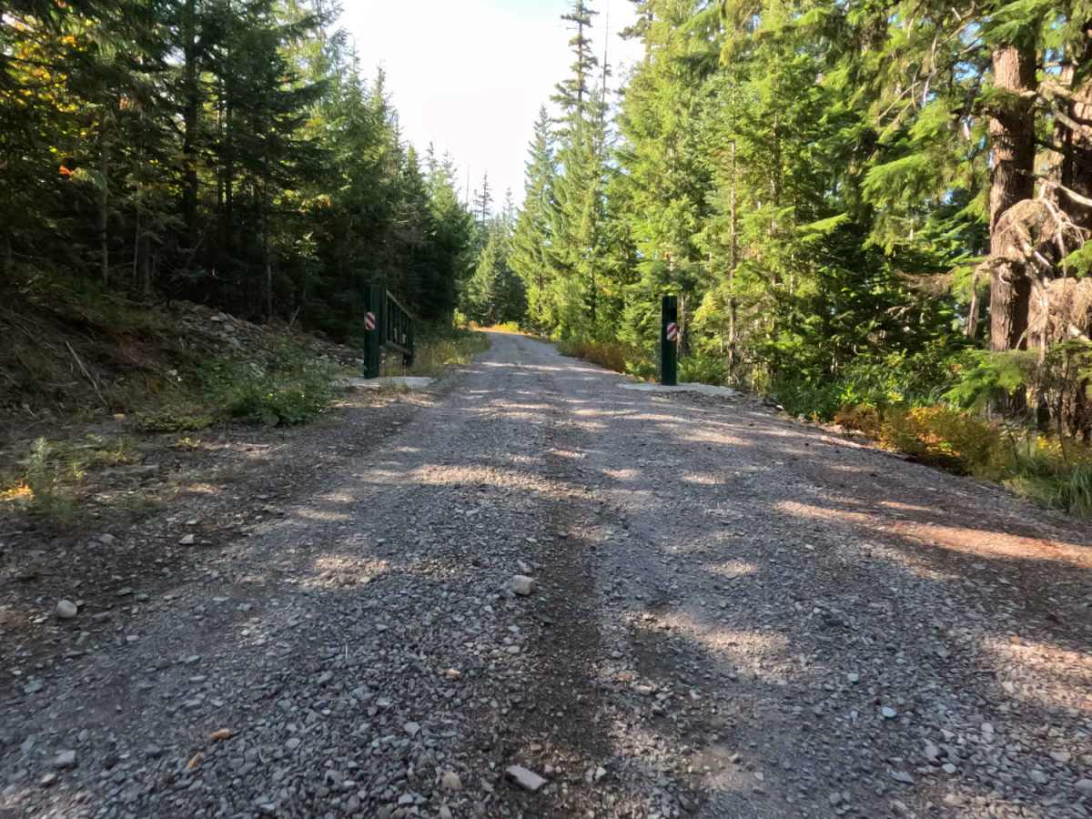
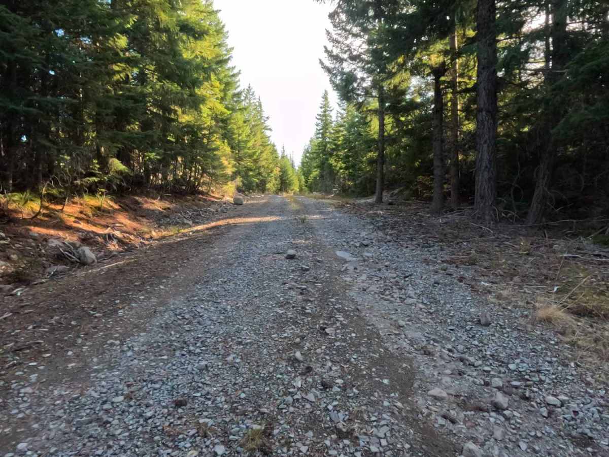
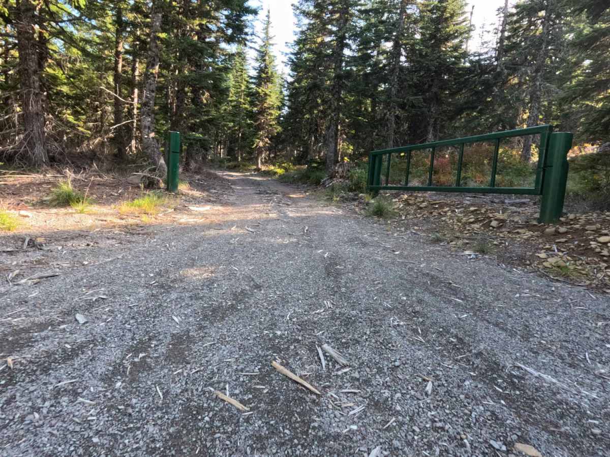
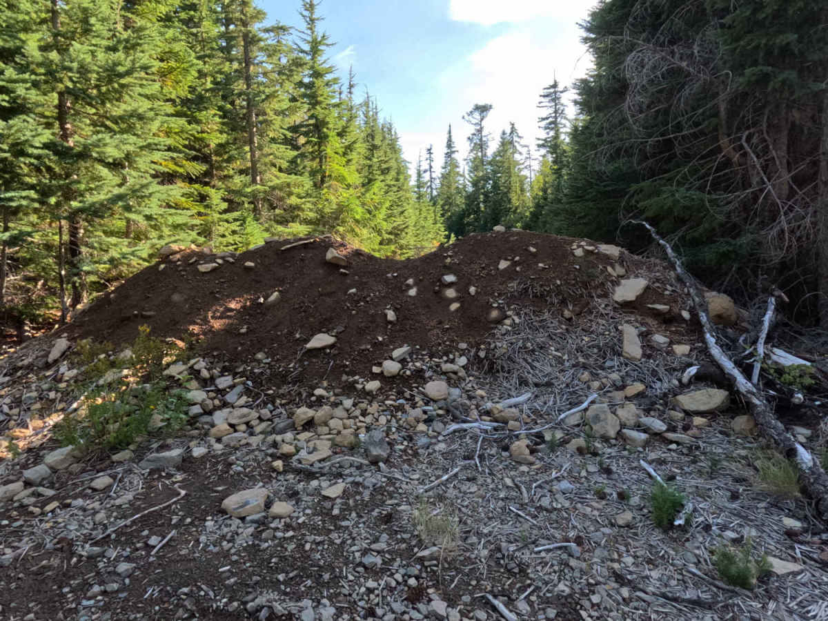
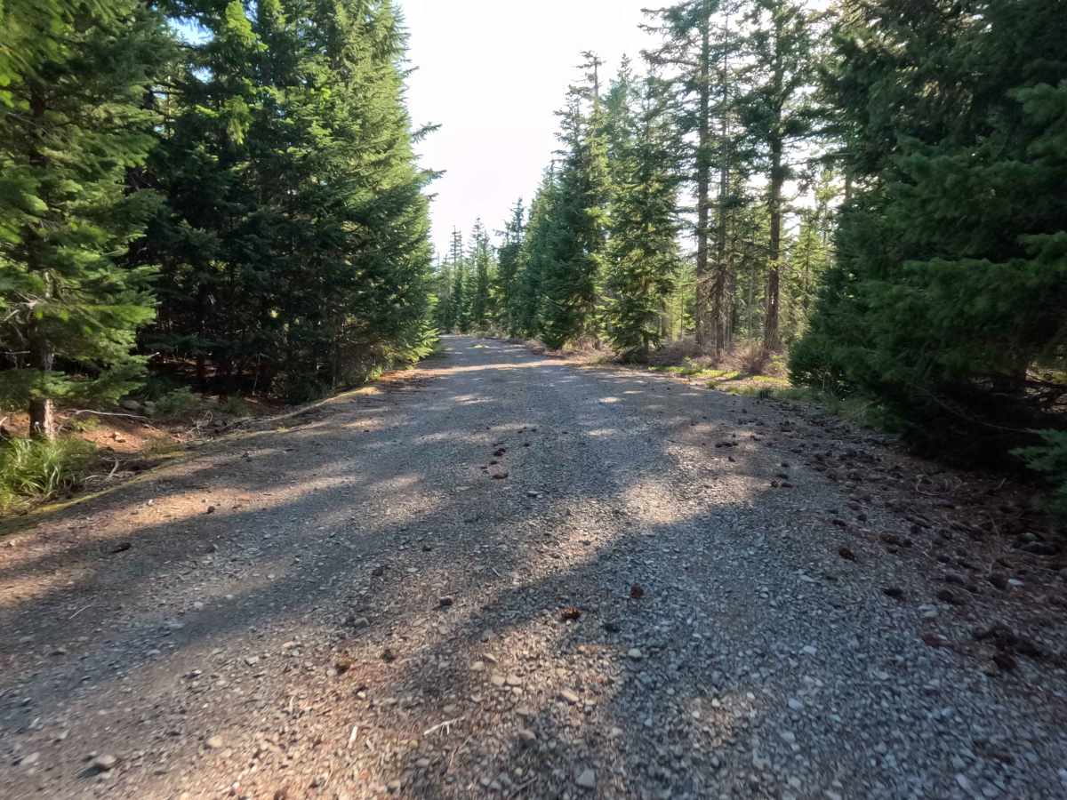
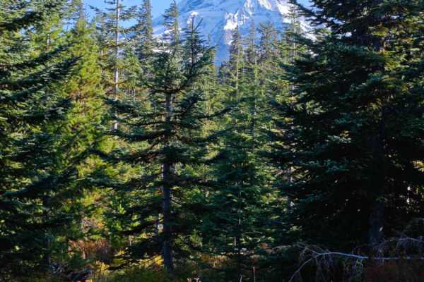
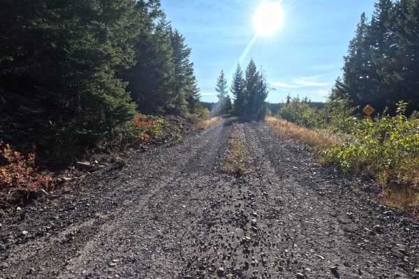
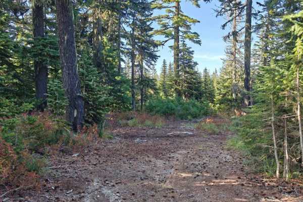
Located within a densely timbered section of the National Forest, FS 1640 serves as a short, easy out-and-back spur leading toward a quiet dead-end. The road provides a straightforward drive through a classic, shaded evergreen canopy with well-managed trailside brush. Holding a level 1 difficulty rating, the wide, graded gravel and dirt surface is exceptionally maintained. The route officially concludes at a junction where both intersecting trails have been decommissioned and permanently blocked by large, earthen tank traps. This closure has created a fantastic, secluded dispersed camping area at the end of the road with enough flat space to accommodate 4 to 5 vehicles. As a bonus, travelers willing to take a short hike past the road closure will be rewarded with spectacular, open views of Mount Hood.
Difficulty
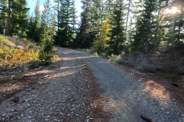
Earning a level 1 rating, this forest service spur delivers a completely stress-free and very smooth drive. The wide, packed gravel roadbed is highly graded, meaning drivers will not encounter deep washouts, prominent erosion ruts, or large embedded rocks that threaten undercarriage clearance. The corridor is cleared generously, completely removing any risk of the dense forest brush scraping the sides of the vehicle. The only notable feature is the deliberate, impassable tank trap at the very end of the trail, which acts as a hard barricade rather than a driving obstacle.