Trail Overview
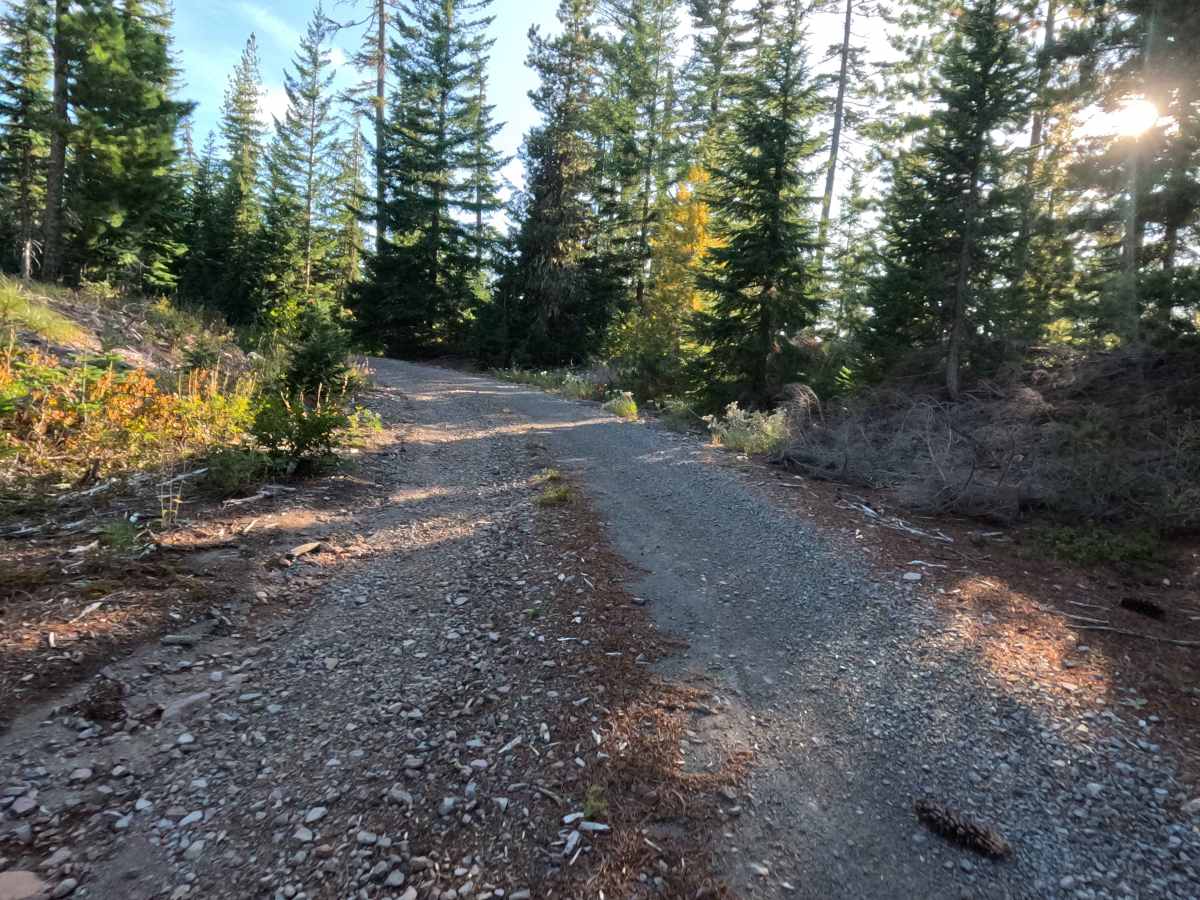
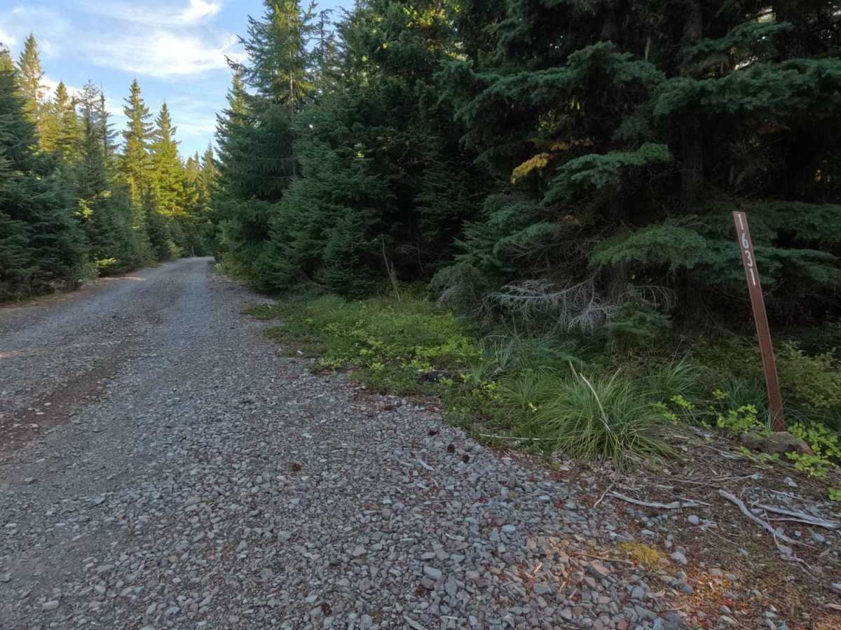
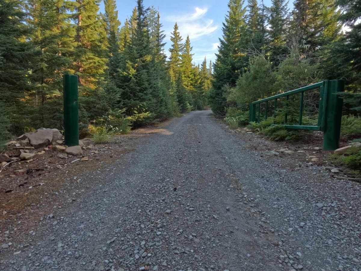
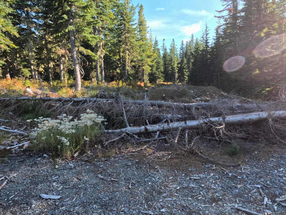
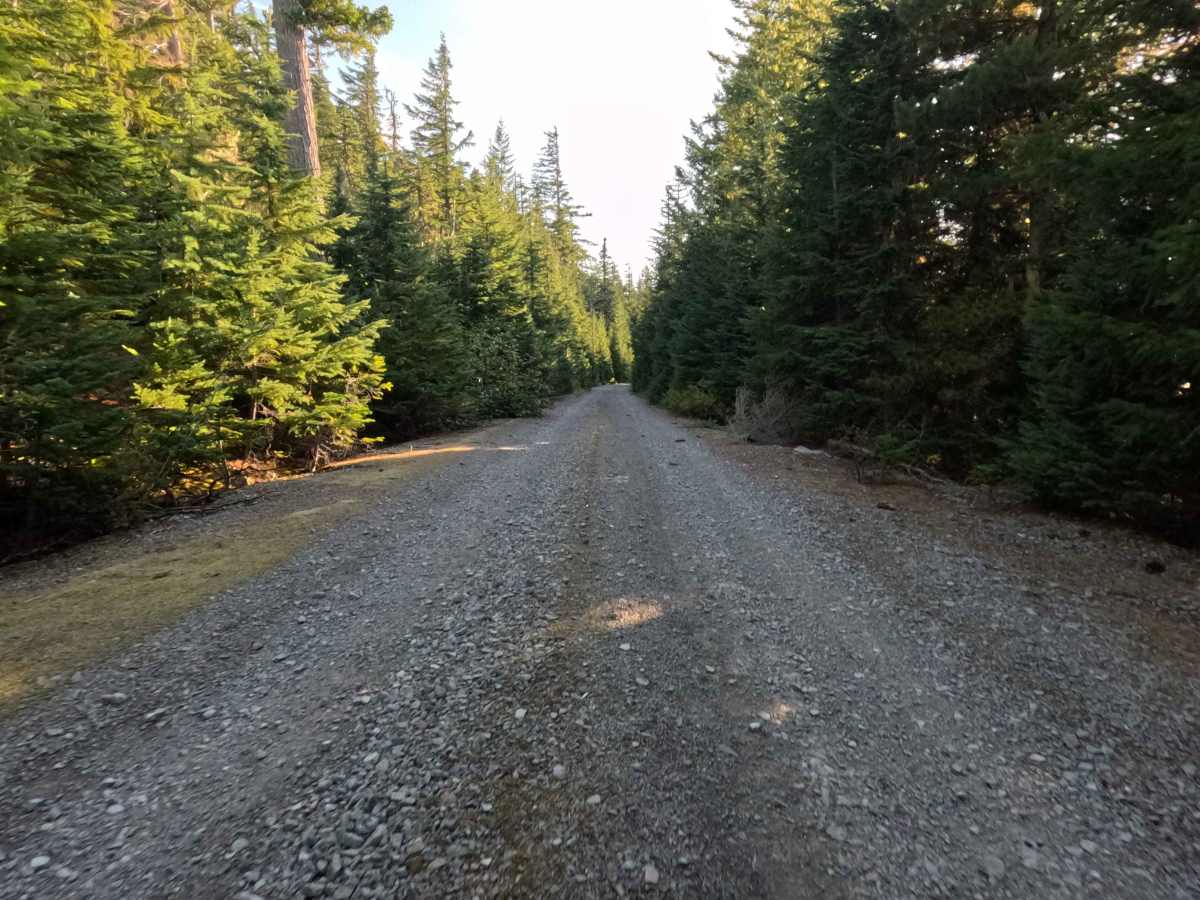
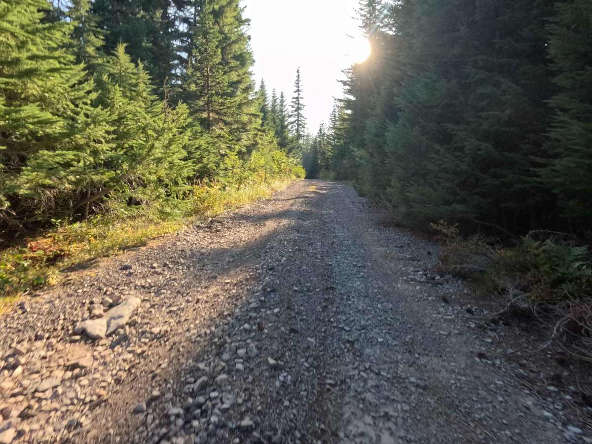
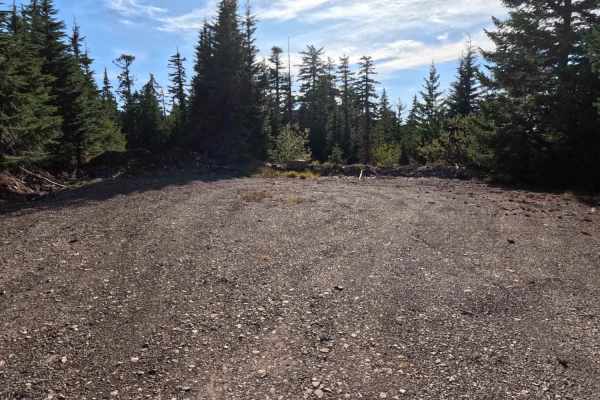
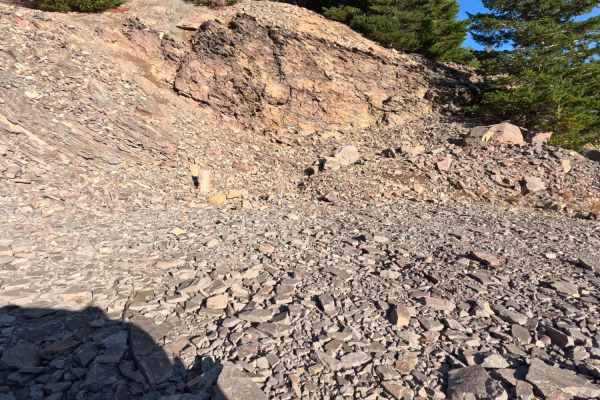
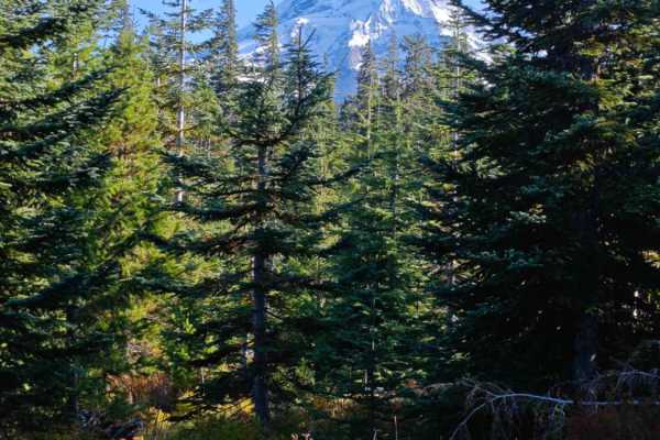
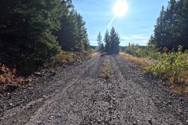
Branching off the broader public road network, FS 1631 serves as a brief, straightforward out-and-back forest spur. The pathway wanders through a dense, lush canopy of towering evergreens within the National Forest, providing a deeply shaded and peaceful woodland atmosphere. Backcountry explorers generally traverse this short route to investigate the surrounding timberland and reach the fringes of the Dollar Quarry. The driving surface consists of a single-lane gravel road that earns a moderate Grade 2 difficulty rating due to minor, intermittent erosion. As travelers proceed down the tree-lined corridor, the route eventually comes to an abrupt halt at a large, intentionally placed earthen tank trap. The Forest Service utilized this imposing physical barrier to permanently close the remainder of the road where it officially transitions into the quarry site, requiring visitors to safely turn around and retrace their path to exit.
Difficulty
Earning a moderate Grade 2 difficulty rating, this short out-and-back spur features a relatively firm gravel base that is completely free of complex off-road challenges. Severe obstacles such as deep mud pits, intimidating rock crawls, and treacherous shelf drop-offs are entirely absent from the journey. The primary terrain considerations along this route are occasional, shallow ruts carved into the surface from standard weathering and seasonal water runoff. Navigating these minor depressions simply requires a measured, steady driving speed and basic attentiveness to ensure a smooth, comfortable ride without jarring the cabin. Modest ground clearance is helpful for easily rolling over the uneven sections, and drivers must be prepared to carefully execute a turnaround maneuver upon reaching the impassable tank trap at the trail's end.