Trail Overview
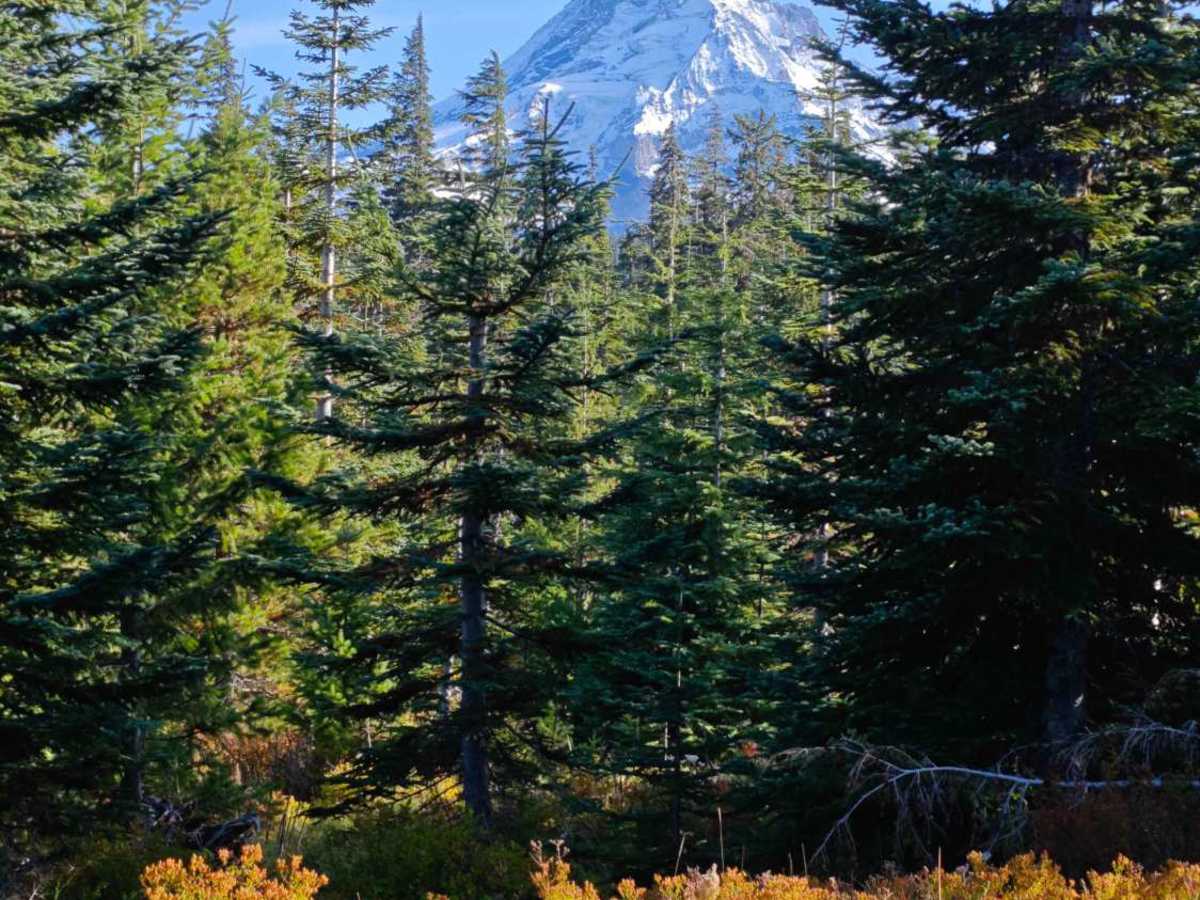
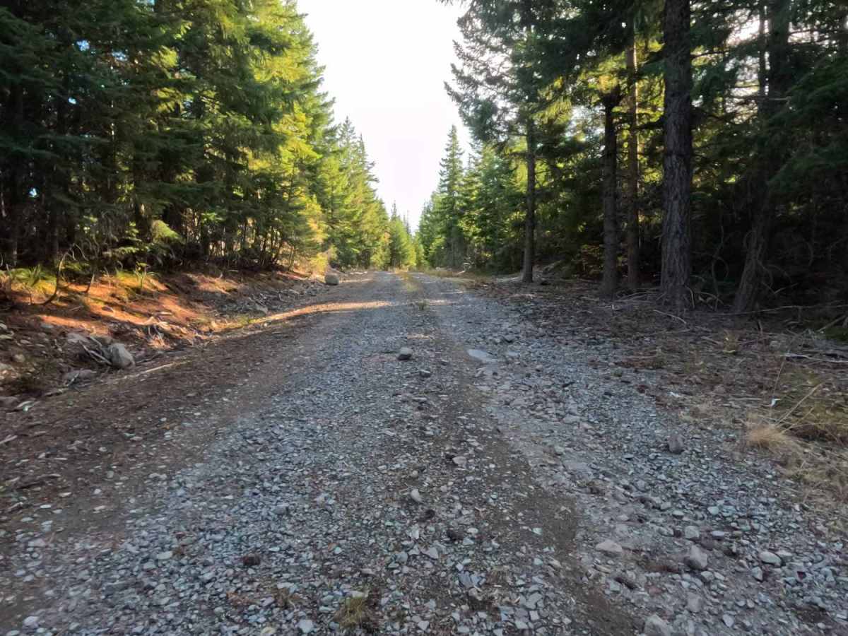
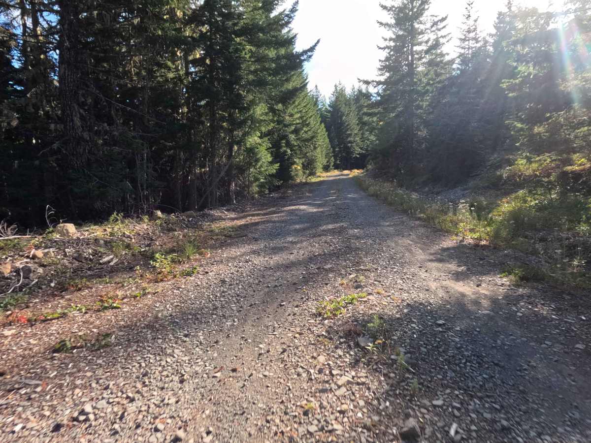
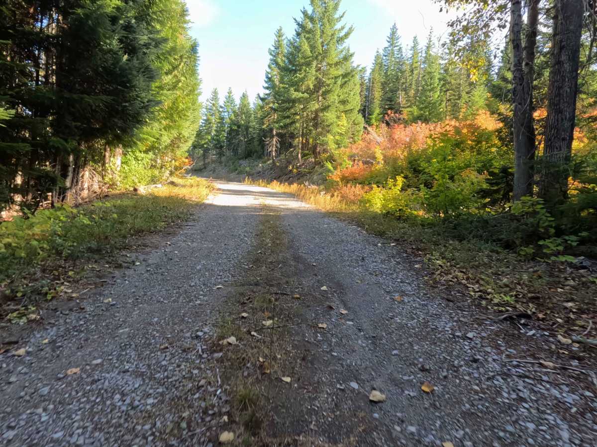
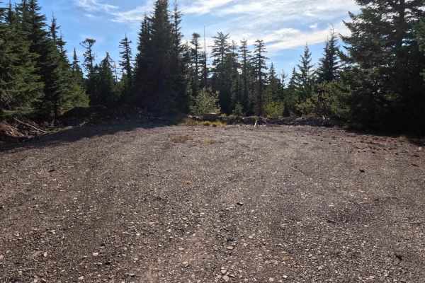
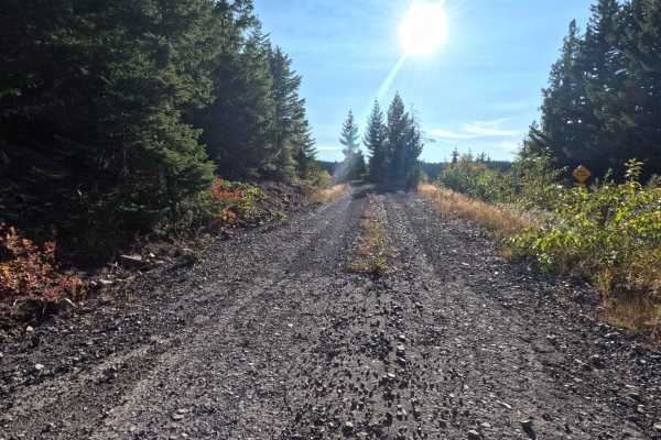
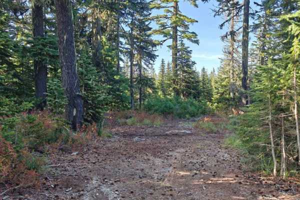
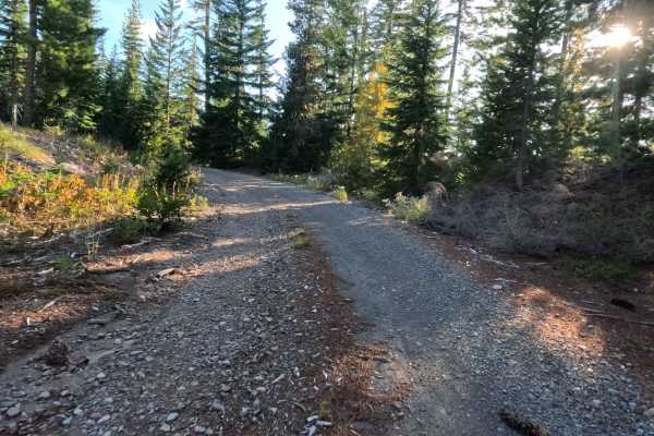
Branching directly off the main FS 1640 line, the 1640-660 spur operates as a rugged, unmaintained dead-end route pushing deeper into the National Forest. The trail climbs steadily through a dense, heavily shaded canopy of mature evergreen timber, creating a tight and secluded woodland environment. Earning a difficulty rating of 3, the surface begins as packed dirt and crushed rock but quickly degrades into a jarring, rutted track that eventually devolves completely before reaching the upper ridge. Despite the rough and bumpy conditions, outdoor enthusiasts are drawn to this rugged spur to access the numerous, secluded dispersed campsites scattered along the lower, more manageable sections of the road.
Difficulty
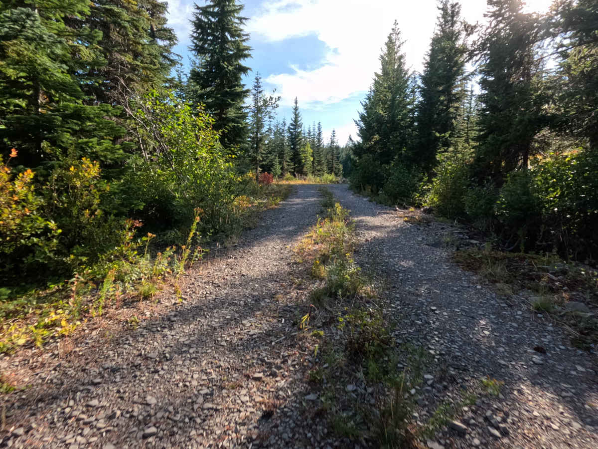
Holding a level 3 rating, this deteriorating spur demands a cautious, attentive drive. The unmaintained dirt and gravel roadbed is plagued by continuous, heavy washboarding and several deep, random erosion ruts that have carved directly into the track. Additionally, drivers must navigate over multiple large, unmaintained water bars crossing the lane. These obstacles require careful tire placement and a slow crawl to avoid bottoming out or jarring the vehicle's suspension. Furthermore, the corridor is noticeably narrow; the dense pines lining the trail frequently encroach on the path, meaning drivers should expect the surrounding brush to graze the vehicle and potentially cause light pinstriping as they climb.

 Offroad