Trail Overview
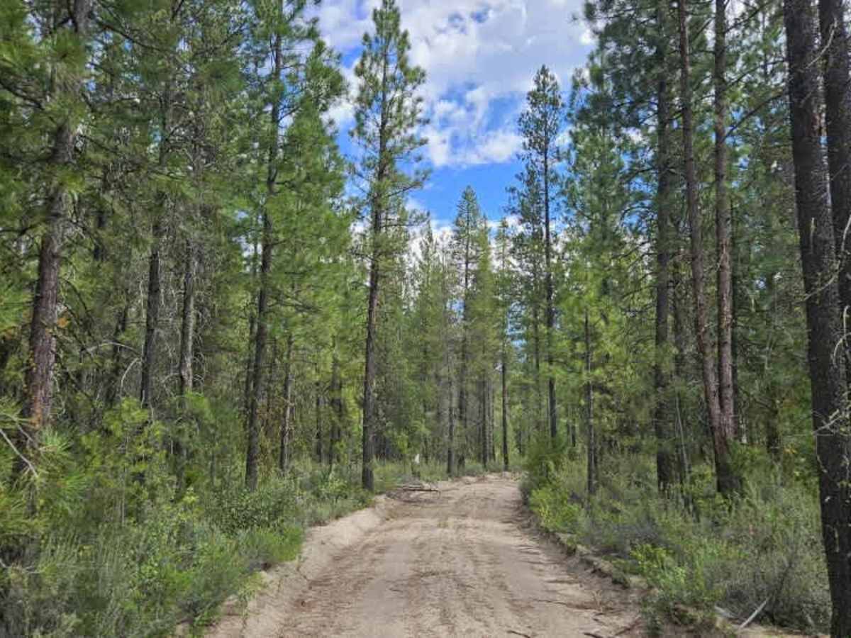
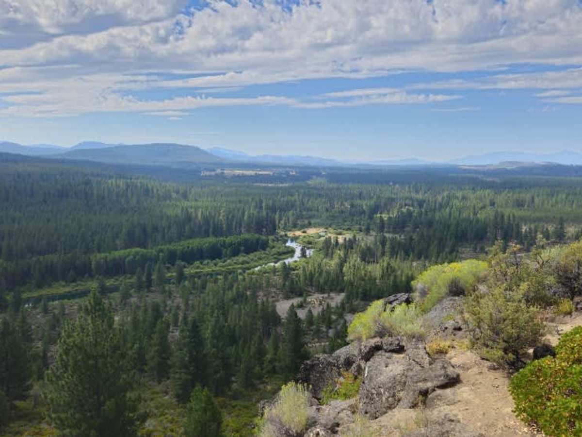
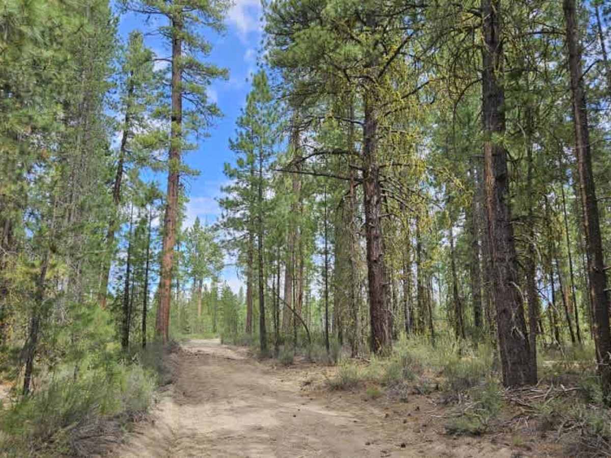
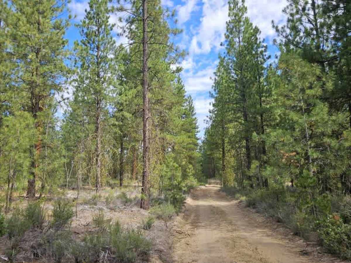
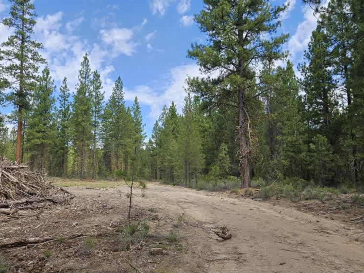
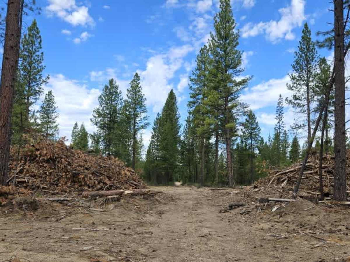
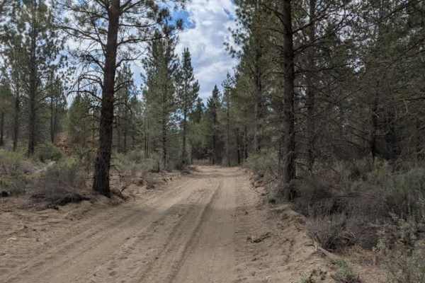
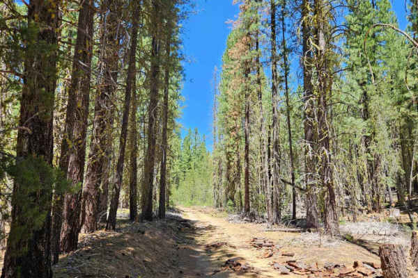
This trail begins as a well-maintained forest road with what appear to be the remains of an old gate at the entrance. Shortly after entering, it reaches a spectacular viewpoint overlooking the valley, with several pull-offs suitable for dispersed camping (only for a small section on the northern side) and enjoying the scenery. Beyond the viewpoint, the route transitions into an old logging road where the conditions become rougher. Several logs remain alongside or partially within the roadway, and some have been cut without being trimmed back far enough, leaving protruding sections that require care. Old logging debris and wood piles can still be seen throughout the area, and several side roads branch from the main route. Be sure to confirm that any spur roads are legally open before exploring them. When approaching from the northern end, expect deep, soft sand with pronounced ruts that become progressively worse toward the southern end. These sections can be difficult to navigate, particularly after rain. During wet conditions, the trail is best suited to highly capable high-clearance 4x4 vehicles, as the deep sand, center berm, and rutted surface become much more challenging. SxSs and ATVs may also struggle.
Difficulty
The main challenges are the soft sandy surface, deep ruts, and rough logging road conditions, especially after rain.