Trail Overview
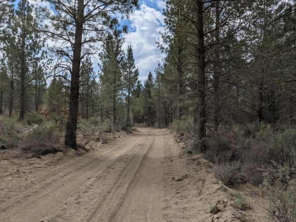
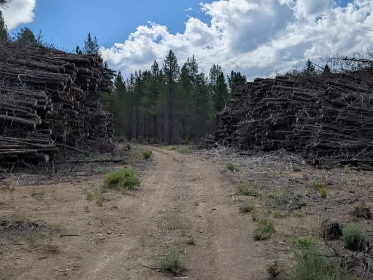
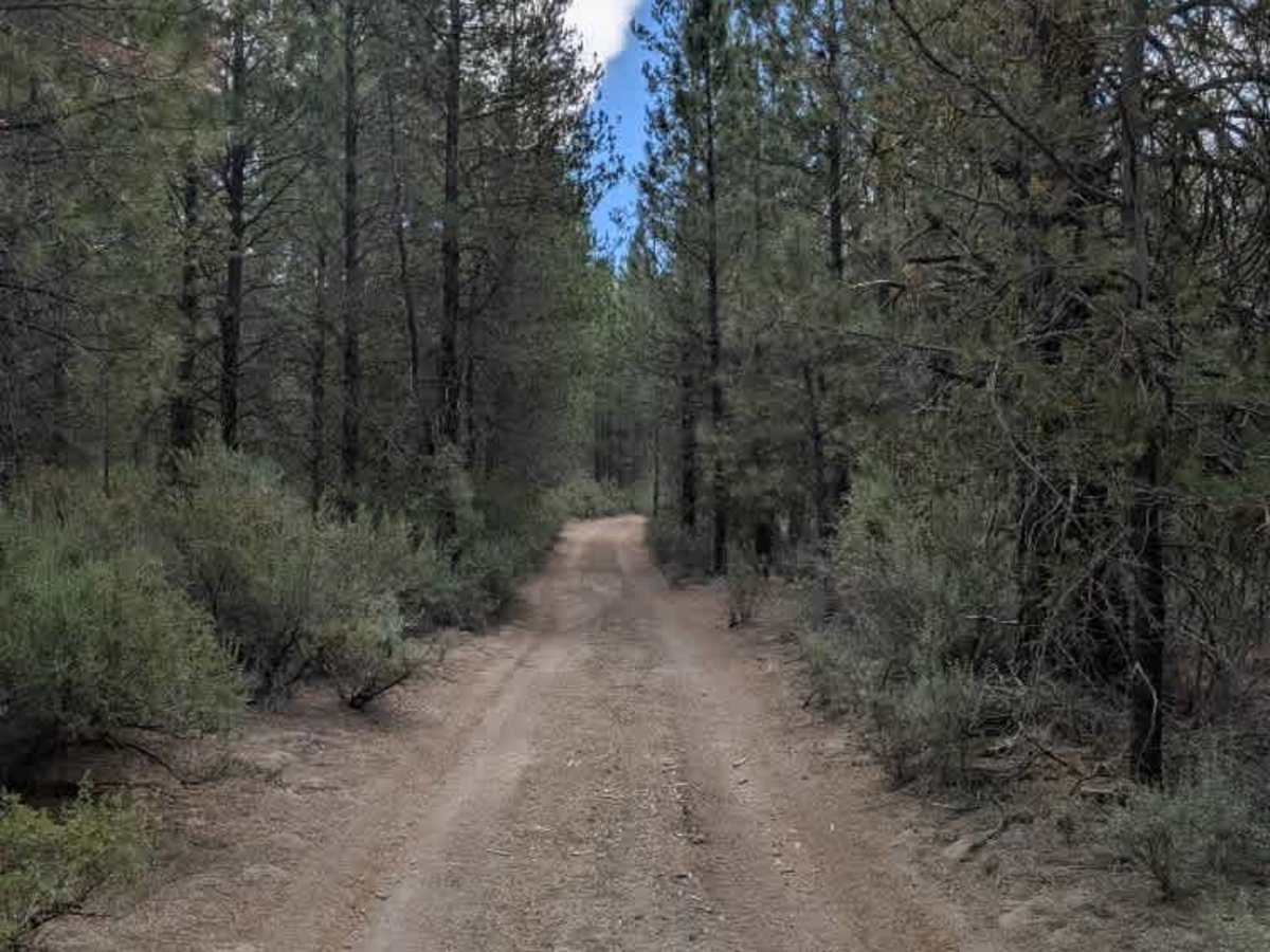
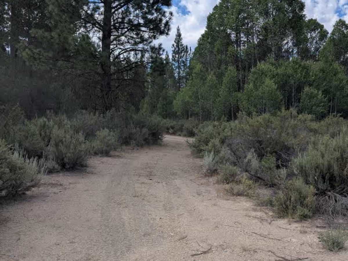
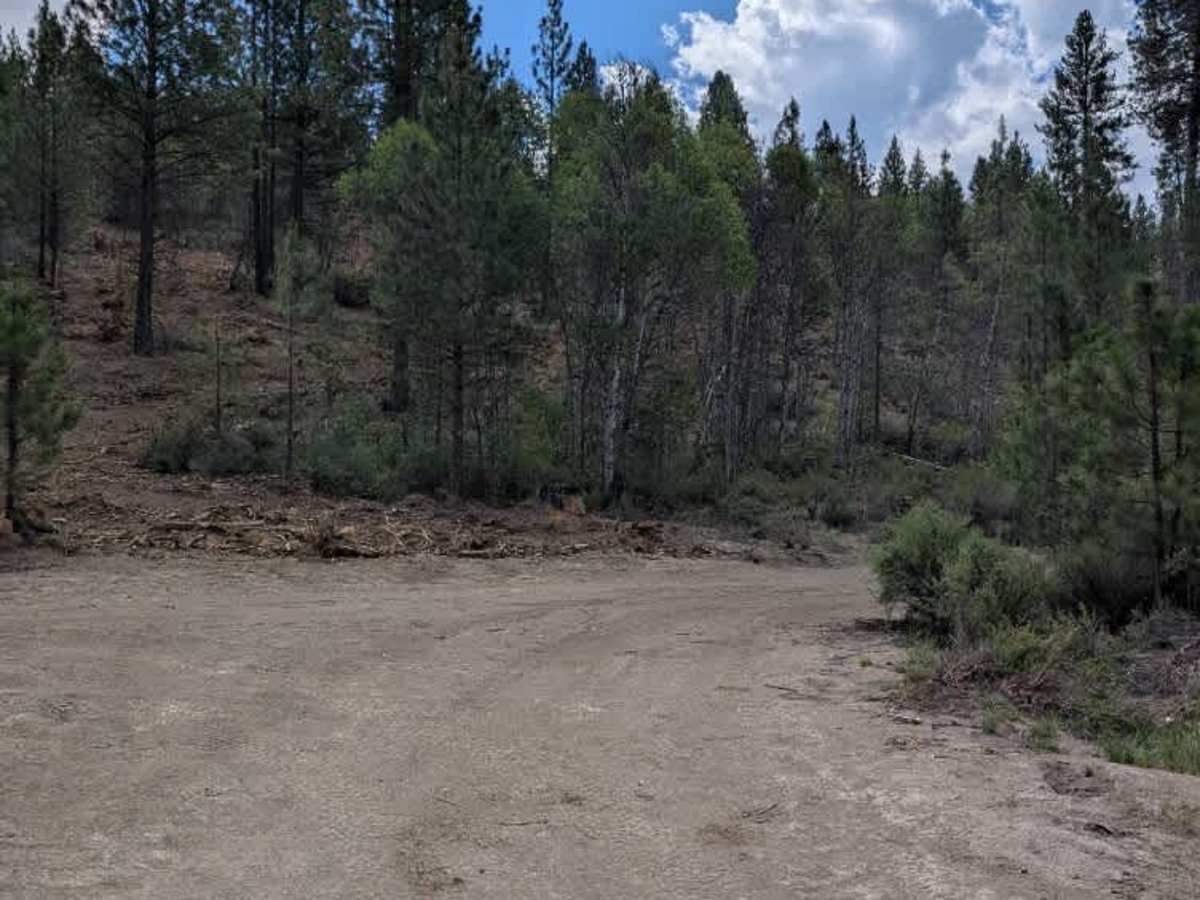
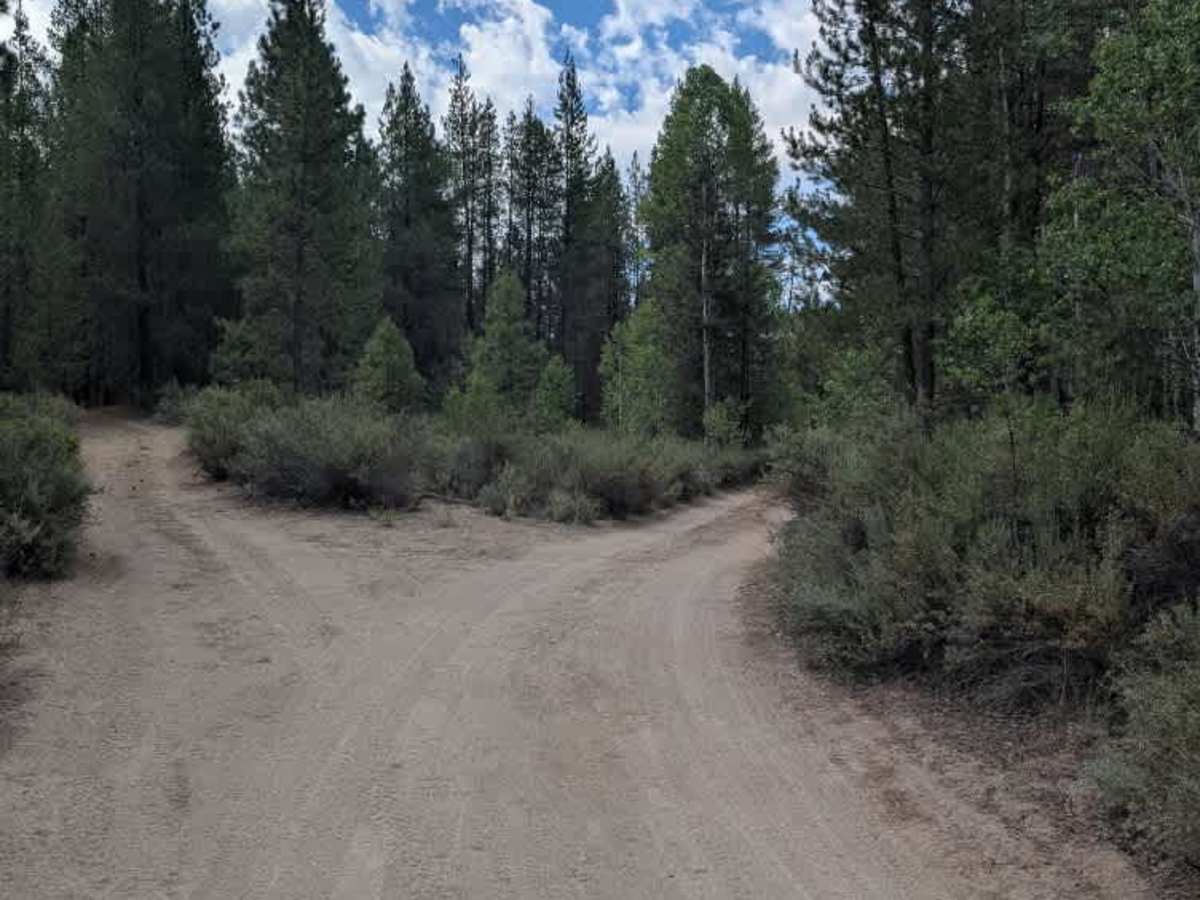
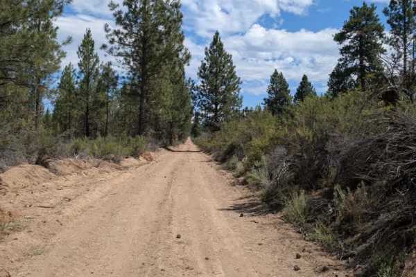
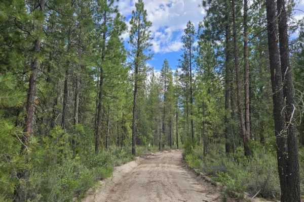
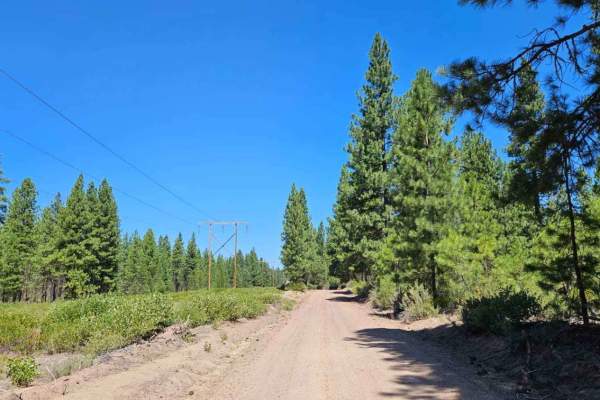
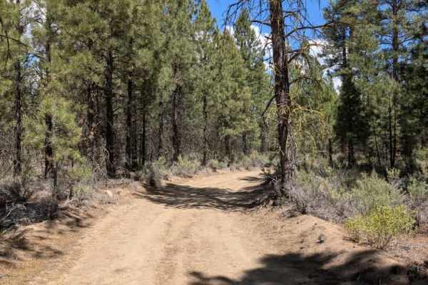
This trail is a logging road that branches from a main arterial route and travels through an active timber harvesting area. The surface is primarily sandy, with several sections showing damage from heavy logging equipment, creating uneven areas that require moderate care when driving. Large piles of felled timber line both sides of the road for much of the route, highlighting the ongoing forestry operations. There are a few wider areas where vehicles can safely turn around if needed. The trail officially terminates at two large log piles, although the roadway itself continues beyond this point under a different Forest Service road number. Drivers should be aware of potential logging activity and remain alert for heavy equipment or logging trucks when traveling through the area. ATVs, UTVs, Side-by-Sides, and Dirt Bikes must always have a valid Oregon ATV Operating Permit sticker.