Trail Overview
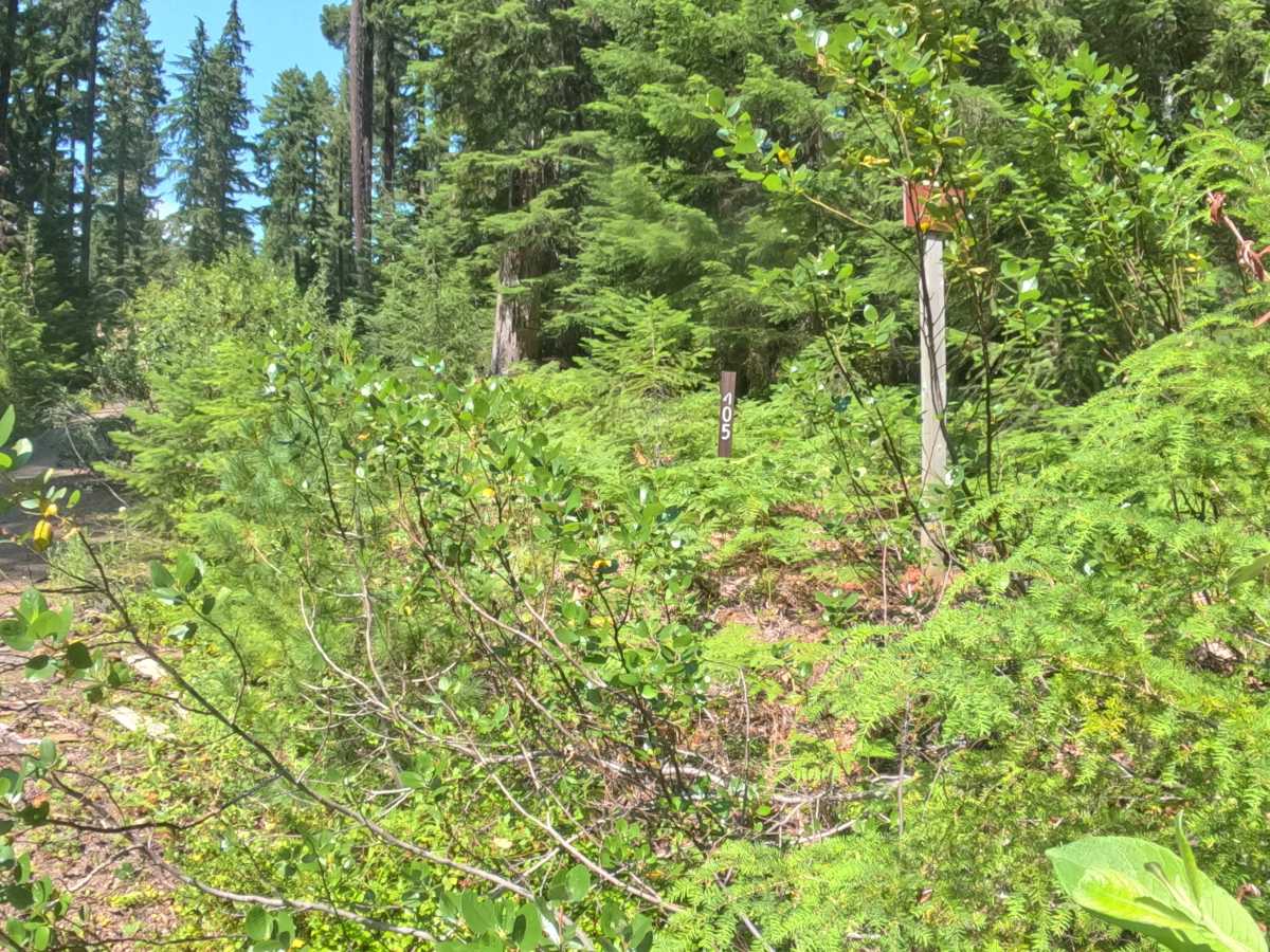
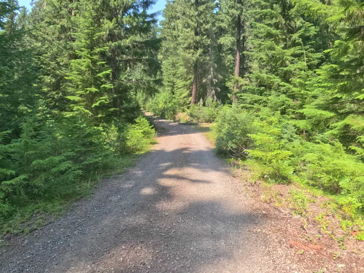
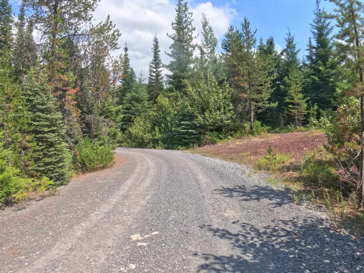
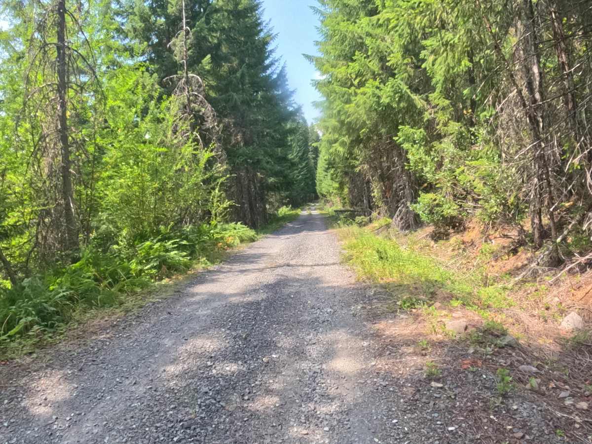
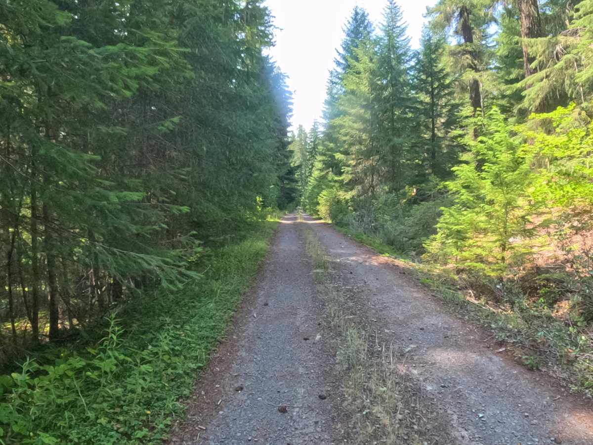
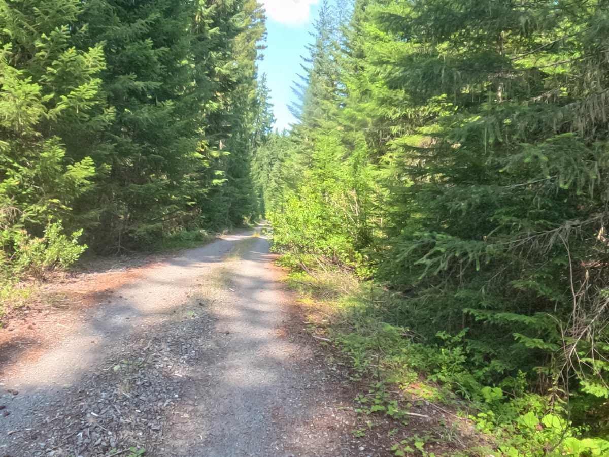
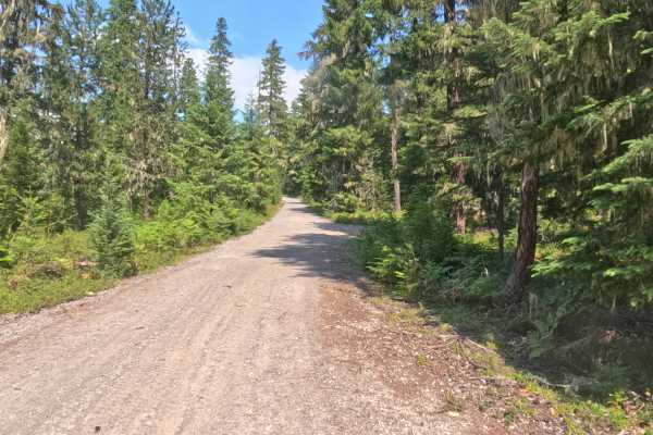
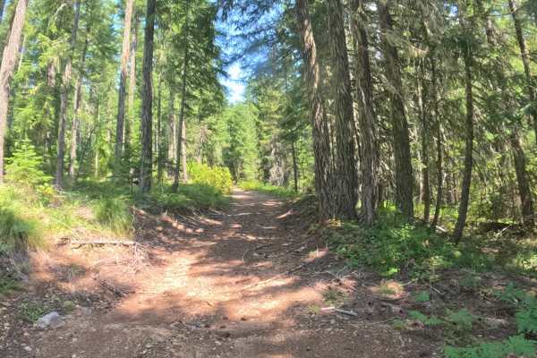
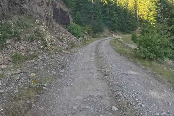
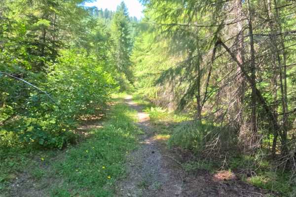
East Ofay - FS 2261405 starts at the intersection of Horn Creek Road - FS 2257000 from the south and FS 2261000 from the north, both of which are paved. The route follows a hard-packed gravel surface winding through the forest with shaded tree cover, blind corners, and occasional open sections that offer longer sightlines. Expect several potholes less than six inches deep, but no high clearance is required. Elevation change is minimal, gradually descending from approximately 1,155 meters to 1,055 meters from start to finish, making this an exceptionally easy connector route. The trail links several nearby roads and provides great access to multiple options for avoiding pavement while exploring the surrounding forest trail system.
Difficulty
This trail has a wide, hard-packed gravel surface and lacks significant obstacles. Aside from a few minor potholes (under 6 inches deep), the road is very smooth and features only minimal elevation changes. It does not require 4WD or high clearance and can easily be navigated by standard passenger vehicles.