Trail Overview
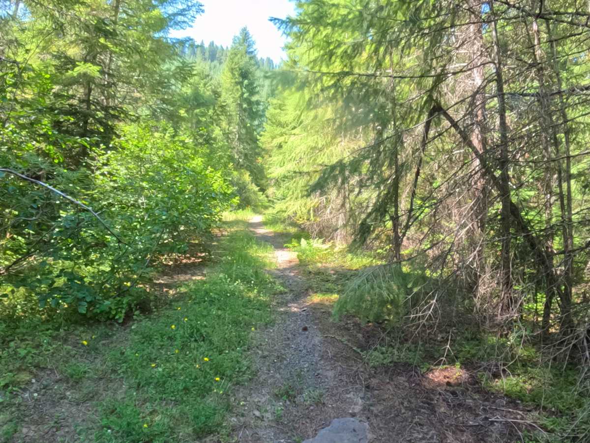
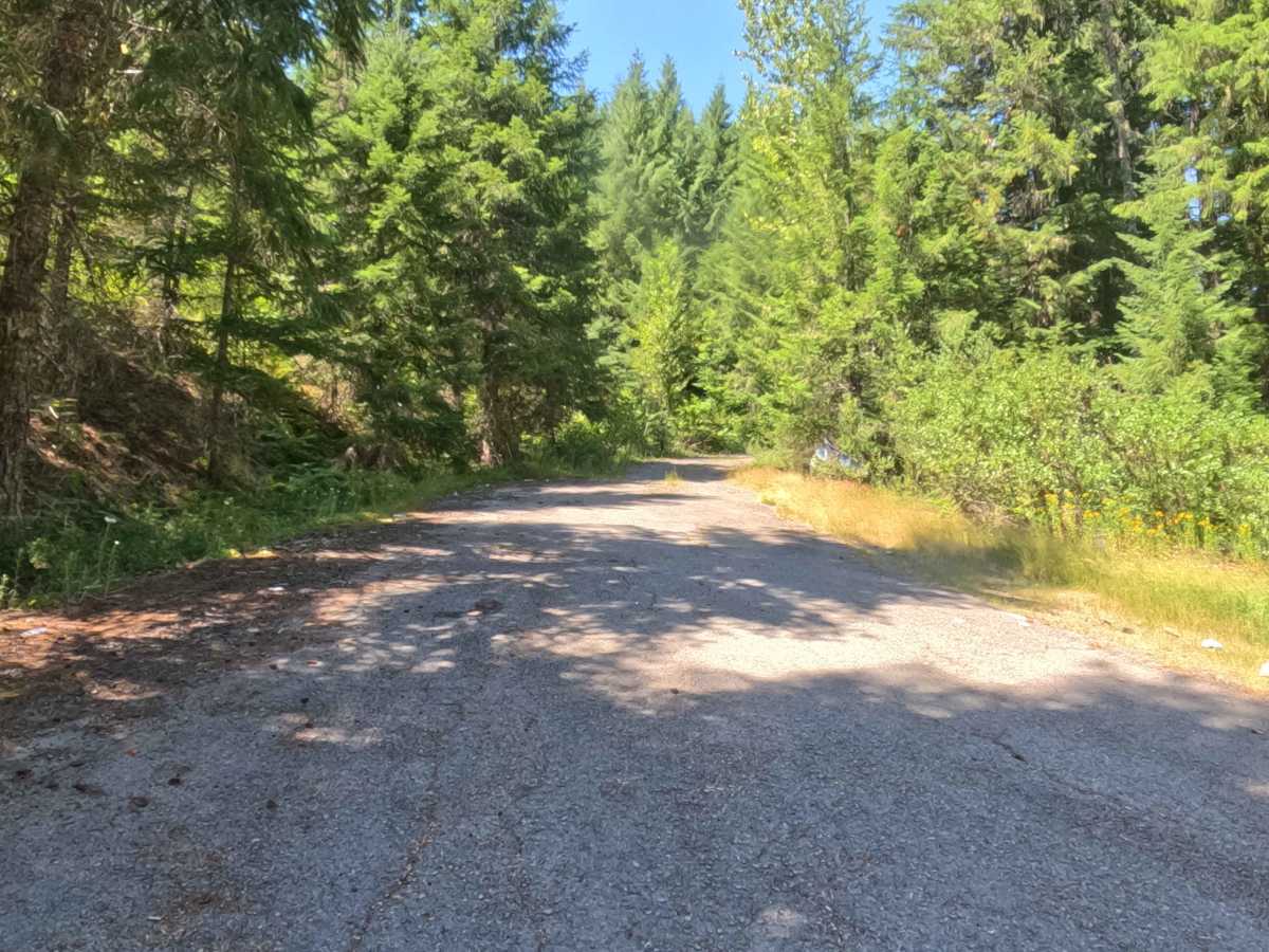
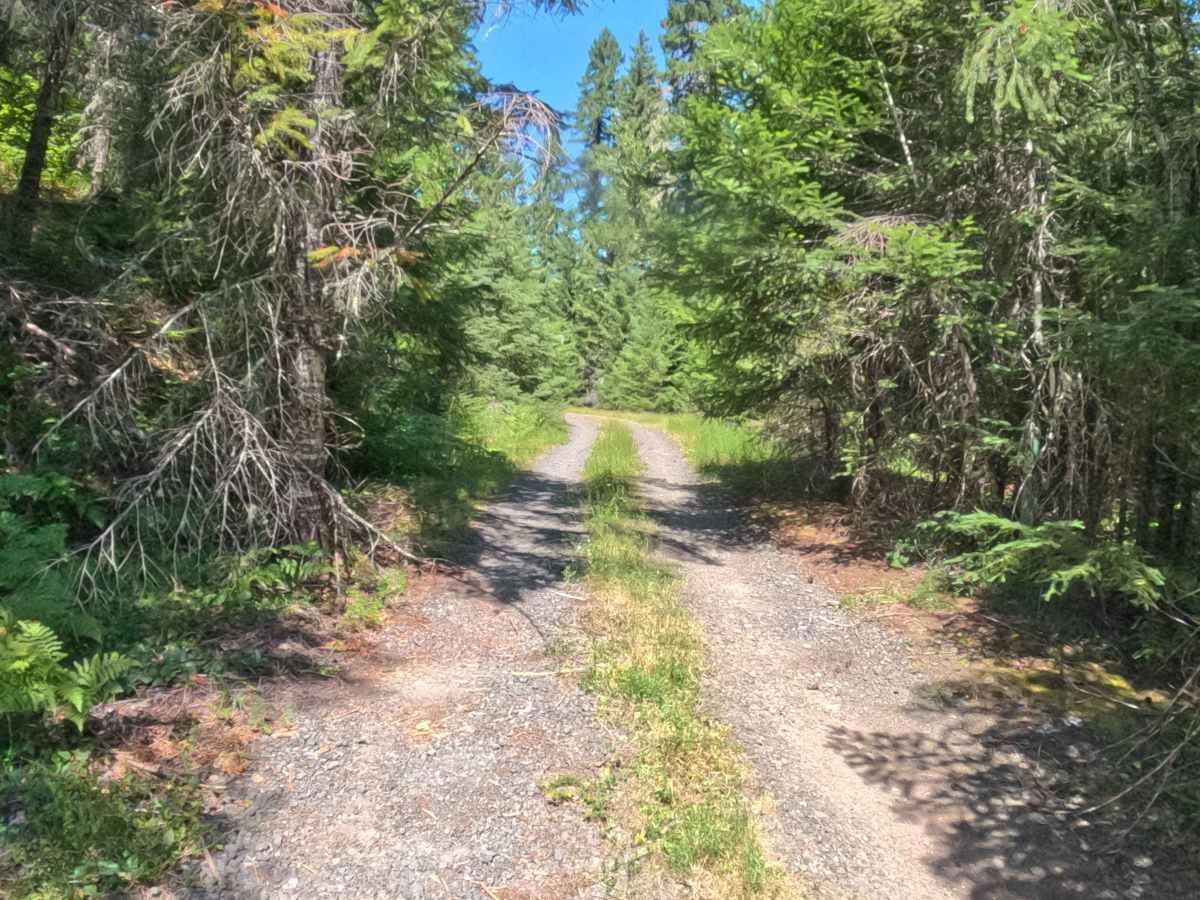
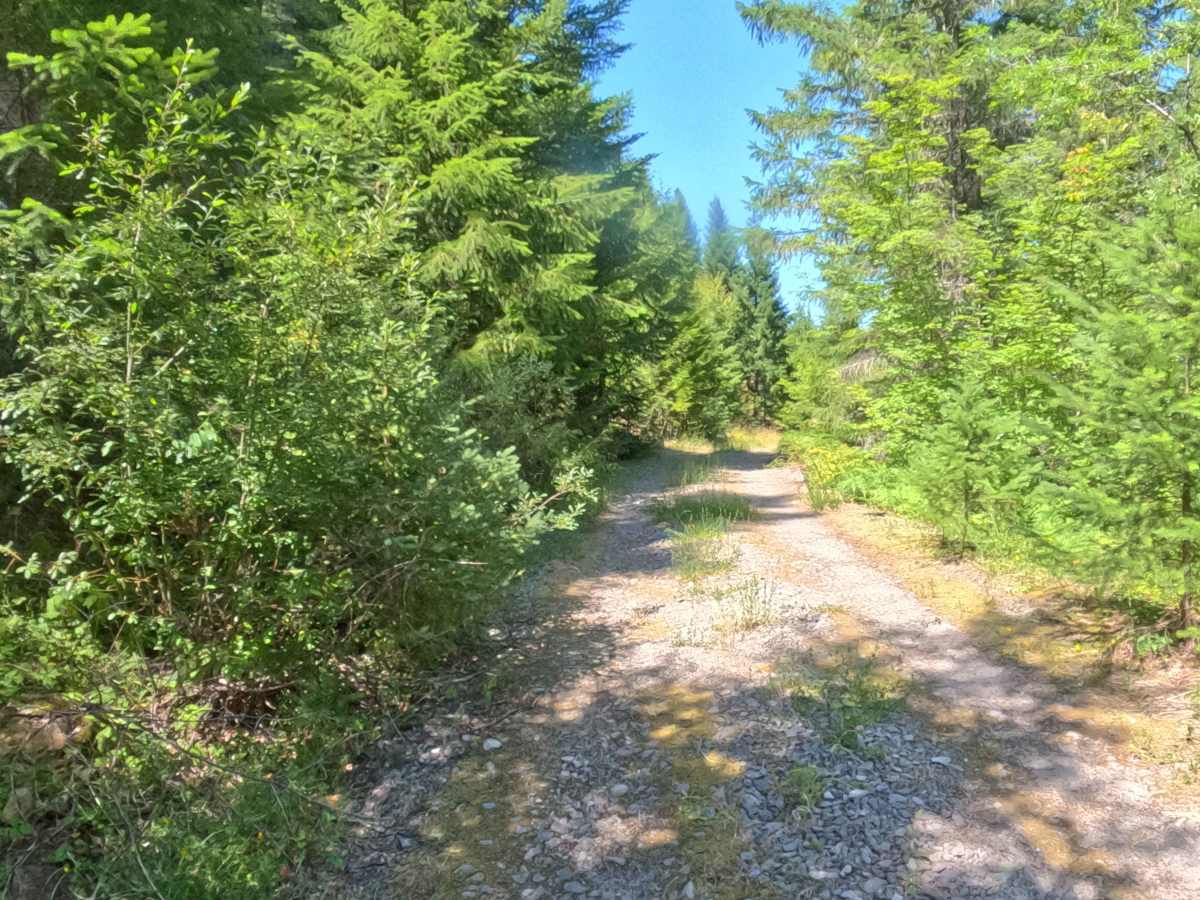
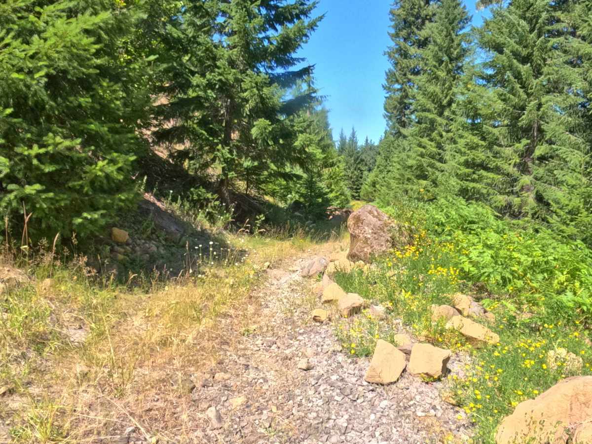
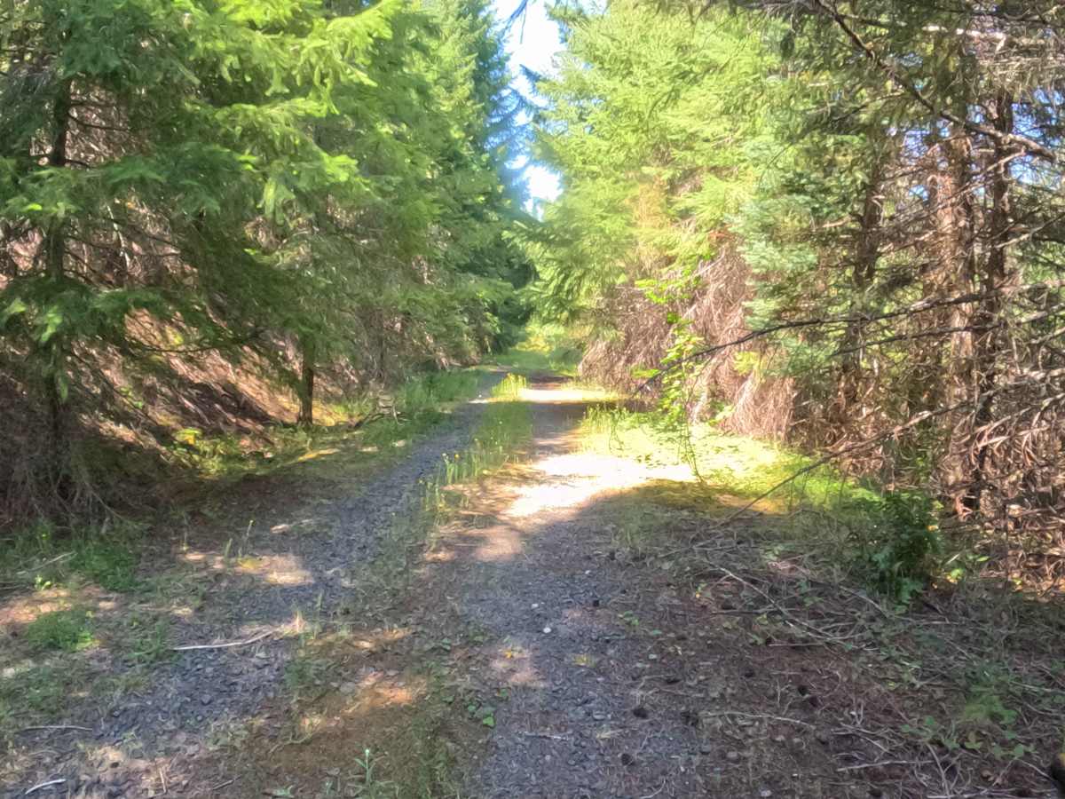
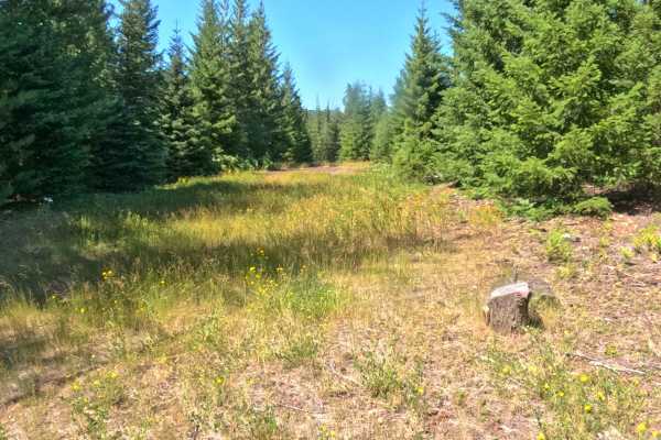
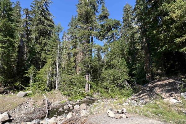
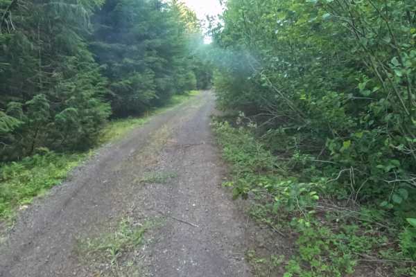
Set within the lush, densely wooded Willamette National Forest, South Branch - FS 2266400 is a deeply secluded route that parallels Highway 22 along the west side of the North Santiam River before abruptly dead-ending high above a steep ravine dropping into Lynx Creek. Backcountry explorers seeking absolute isolation and a true off-the-grid challenge might venture down this forgotten path, though it is entirely unmarked at the start and very easy to miss. The trail features a steady, relentless climb the entire way and has clearly not seen official maintenance in quite some time. Nature is rapidly reclaiming the old dirt roadbed, with moss, tall grass, and vibrant wildflowers carpeting the center of the two-track, while thick, encroaching brush heavily crowds the edges.
Difficulty
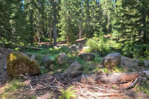
This is a remarkably tight, heavily overgrown, and unmaintained out-and-back dirt spur. The primary obstacles on this route include scattered basketball-sized rocks, frequent small downed logs, and large fallen trees that lean aggressively across the narrow path, severely limiting overhead clearance. If attempting this route with standard factory ground clearance, you must maintain an extremely slow, crawling pace to carefully guide your tires over the loose rocks and timber without scraping your undercarriage. Precise line selection is absolutely critical to weave around the dense brush and debris, and due to the exceptionally tight horizontal and vertical constraints, you must be fully prepared to carefully reverse your way out if the fallen obstacles become too large to safely bypass.