Trail Overview
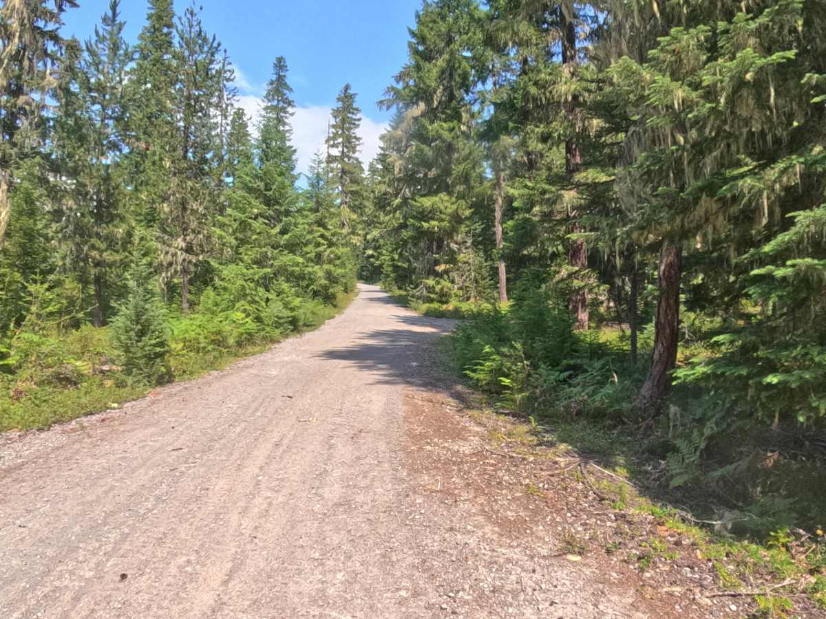
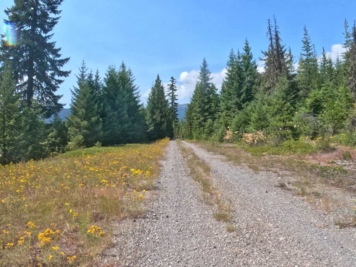
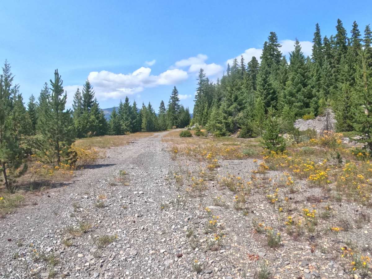
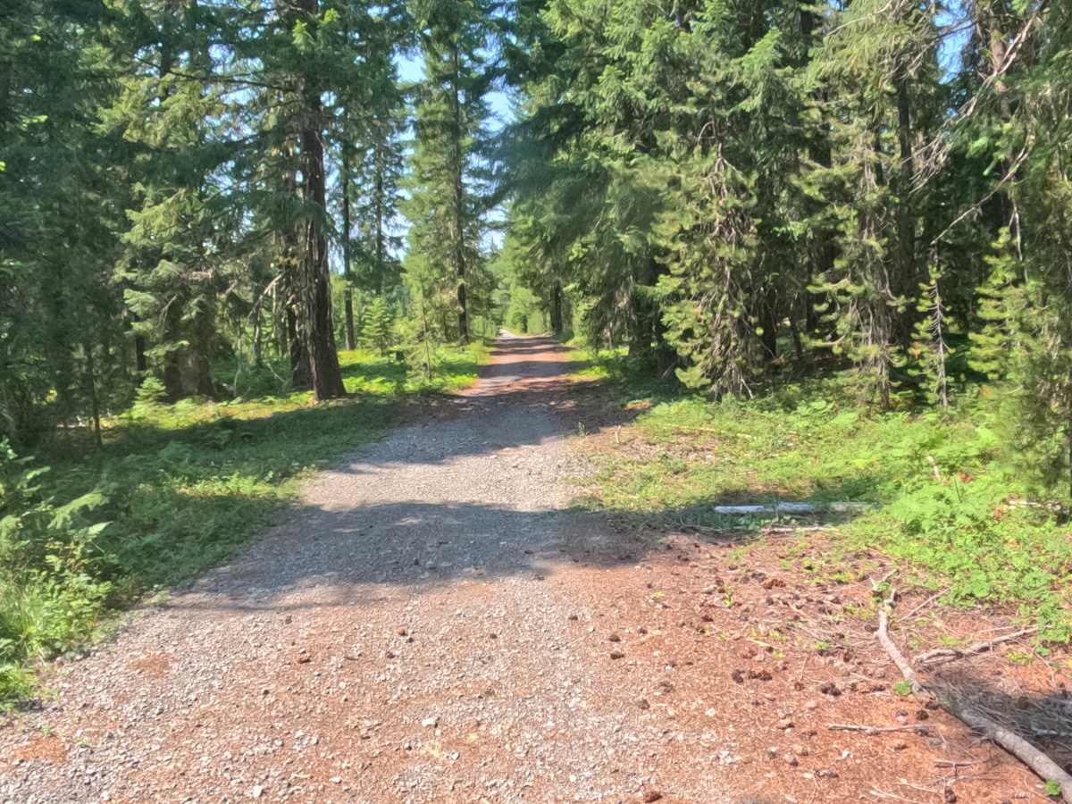
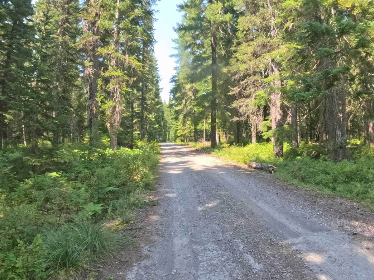
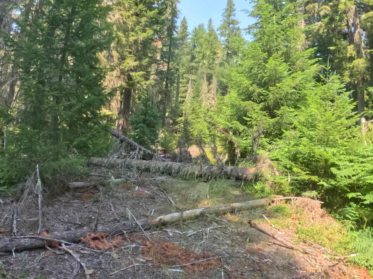
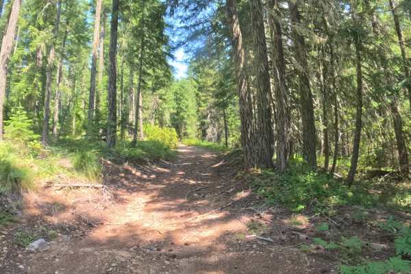
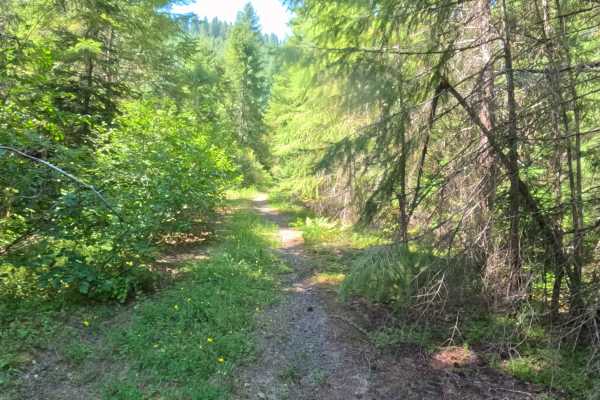
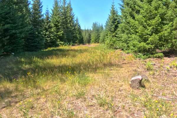
FS 2261-310 features a packed gravel surface that winds through a combination of dark, dense forest and exposed areas. As you climb from a starting elevation of approximately 1,126 meters, the route crests at just over 1,157 meters. Along this exposed climb, the views improve dramatically with several nearby mountain ranges visible to the left and clear views of the main road below. Several unmarked cutoffs along the route may provide additional exploring options, though some spur paths may be blocked by downed timber. A seasonal creek crossing features small ledges that are less than 6 inches high. Additionally, an open green metal gate is located near the top of the trail, within a 1/4 mile from the end.
Difficulty
This trail has a wide, hard-packed gravel surface and lacks significant obstacles. While there is a minor seasonal water crossing with ledges under 6 inches, the road remains smooth and easily navigable for standard passenger vehicles and 4x4s alike.