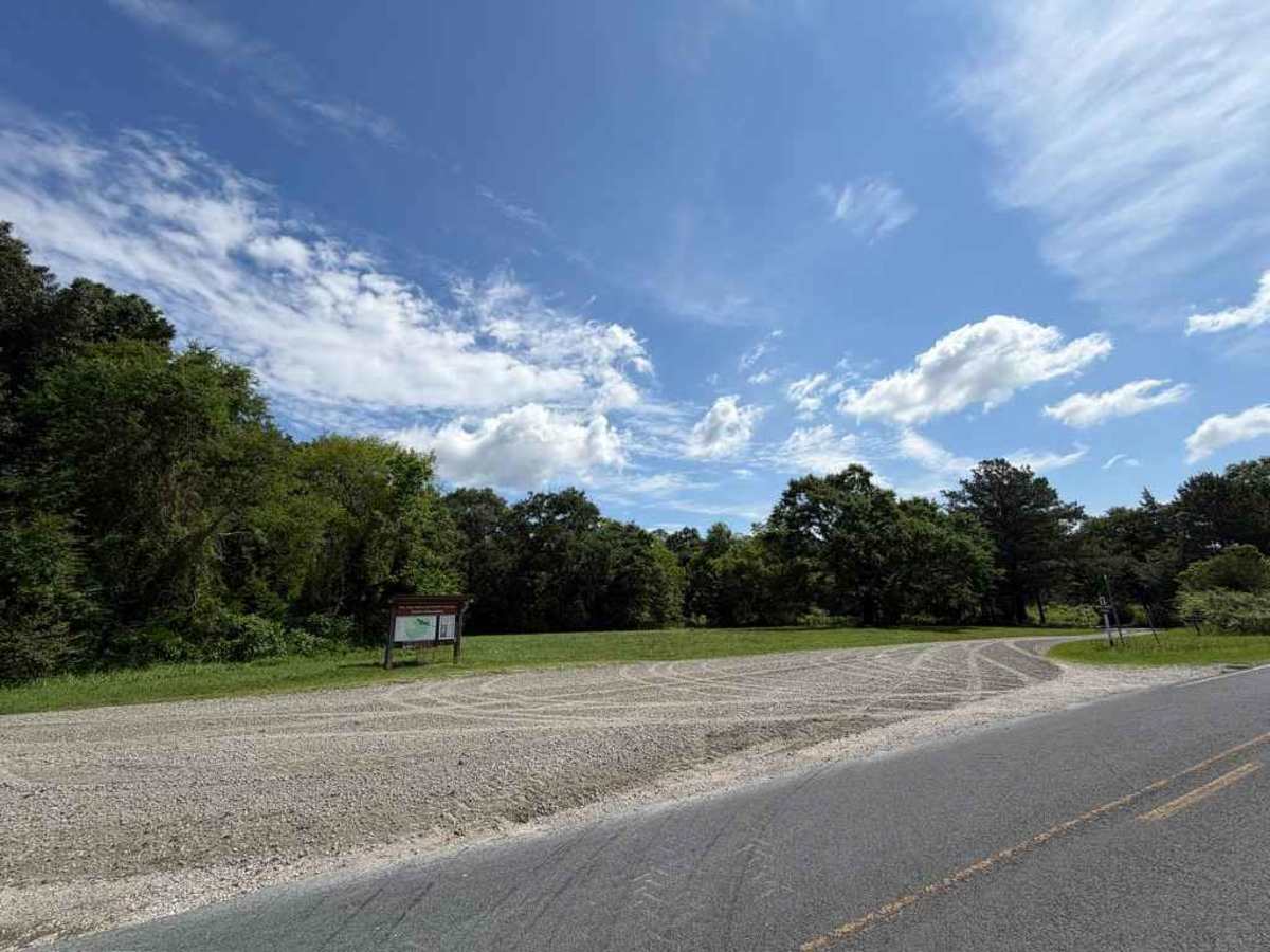
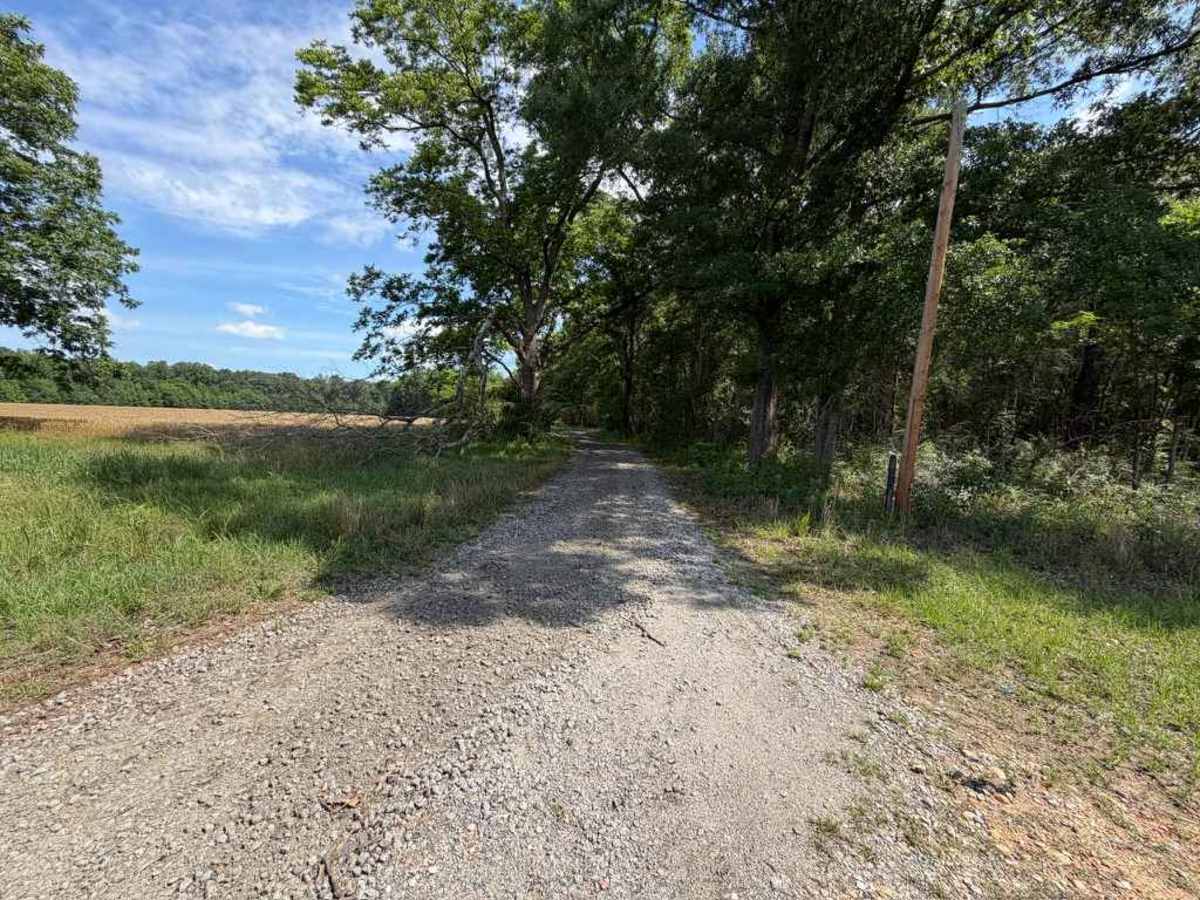
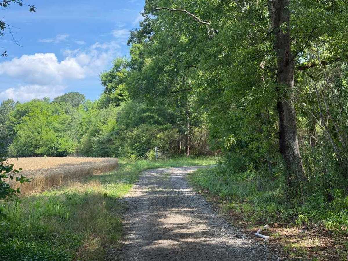
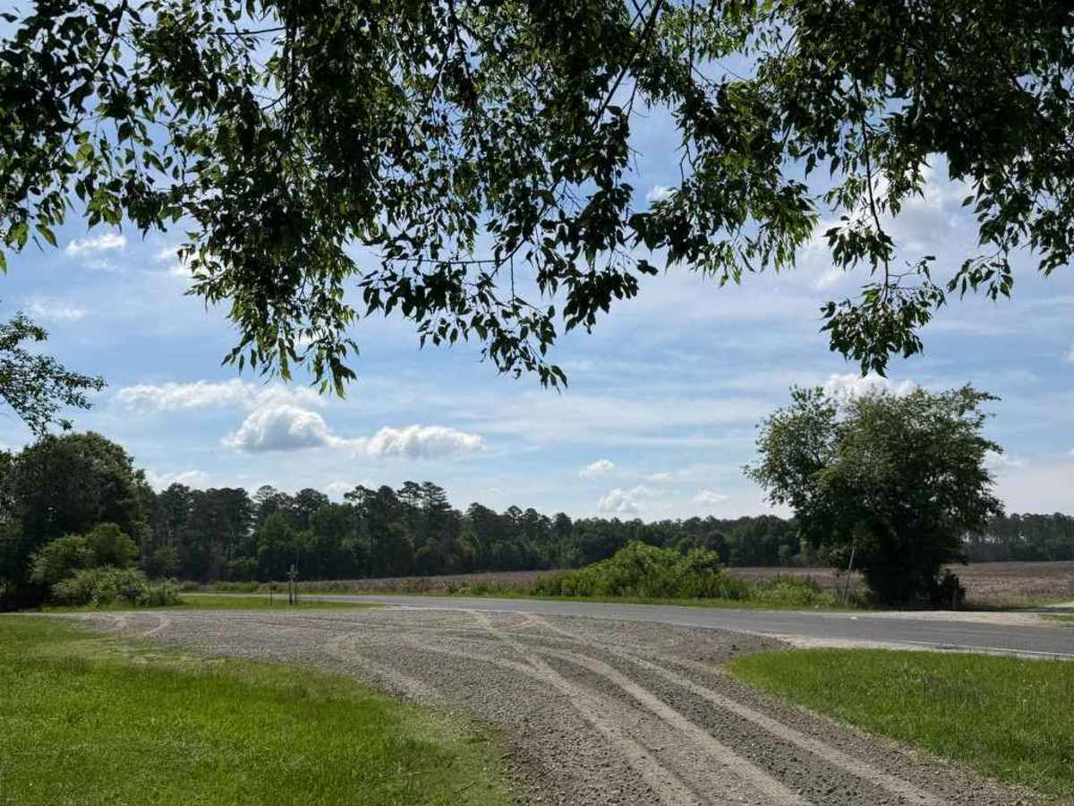
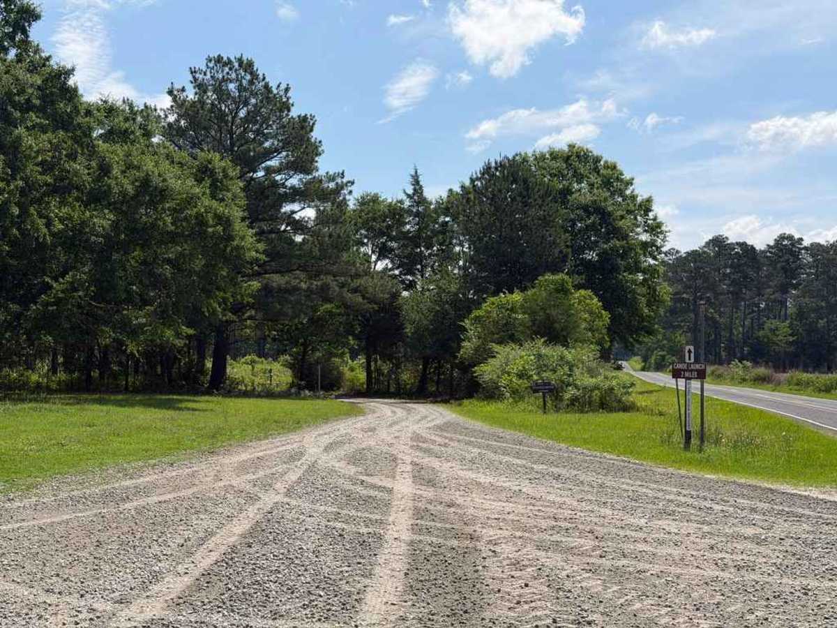
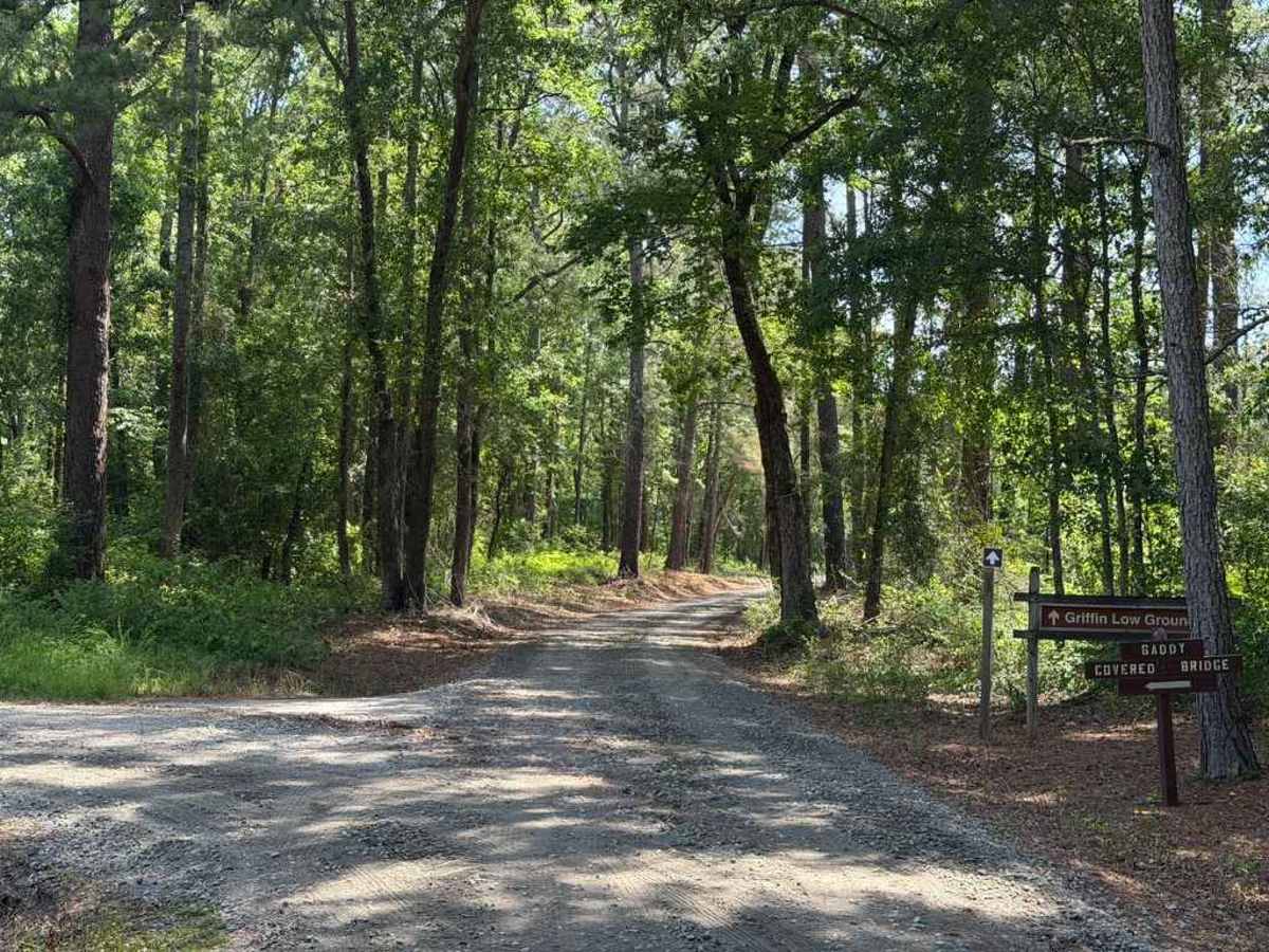
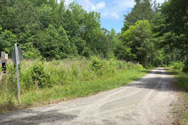
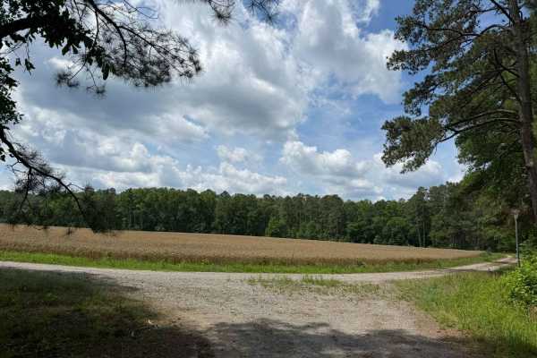
Trail Overview
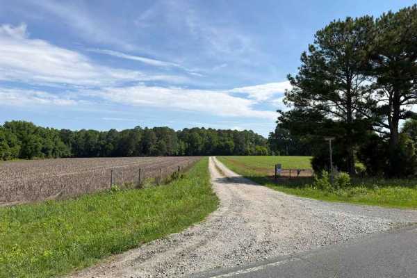
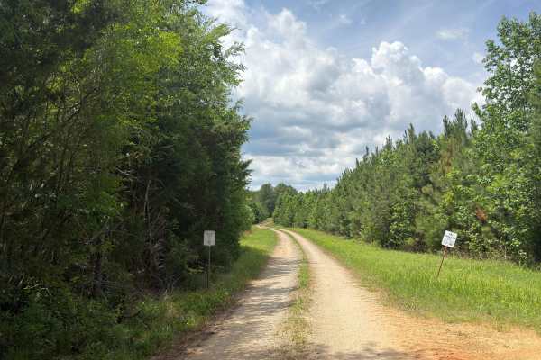
Griffin Road is one of the longest and most unique trails throughout the Pee Dee National Wildlife Refuge. Winding through dense woods, open farm fields, and scenic marshlands, it provides access to several notable landmarks. Shortly into the trail, visitors will spot an abandoned grain silo. Further along, a low-lying marsh and creek area offers excellent opportunities for viewing turtles, waterfowl, and other local wildlife. Drivers should note that this section sits very close to the water level and is prone to flooding during heavy rainfall. The route concludes with three distinct access points to the Pee Dee River; the first two feature elevated ledges ideal for fishing and sightseeing, while the final point offers a dedicated kayak launch. While comparable to nearby routes, the terrain is slightly rougher, featuring scattered ruts and potholes that can be easily managed with careful tire placement. It should also be noted that there is a gate that is located midway through the trail, which is closed from November 24 to March 15.
Difficulty
The trail's hardest obstacles are a few potholes that are no larger than a couple of inches deep. However, heavy rain can cause the marsh area to flood, which could result in a shallow water crossing.