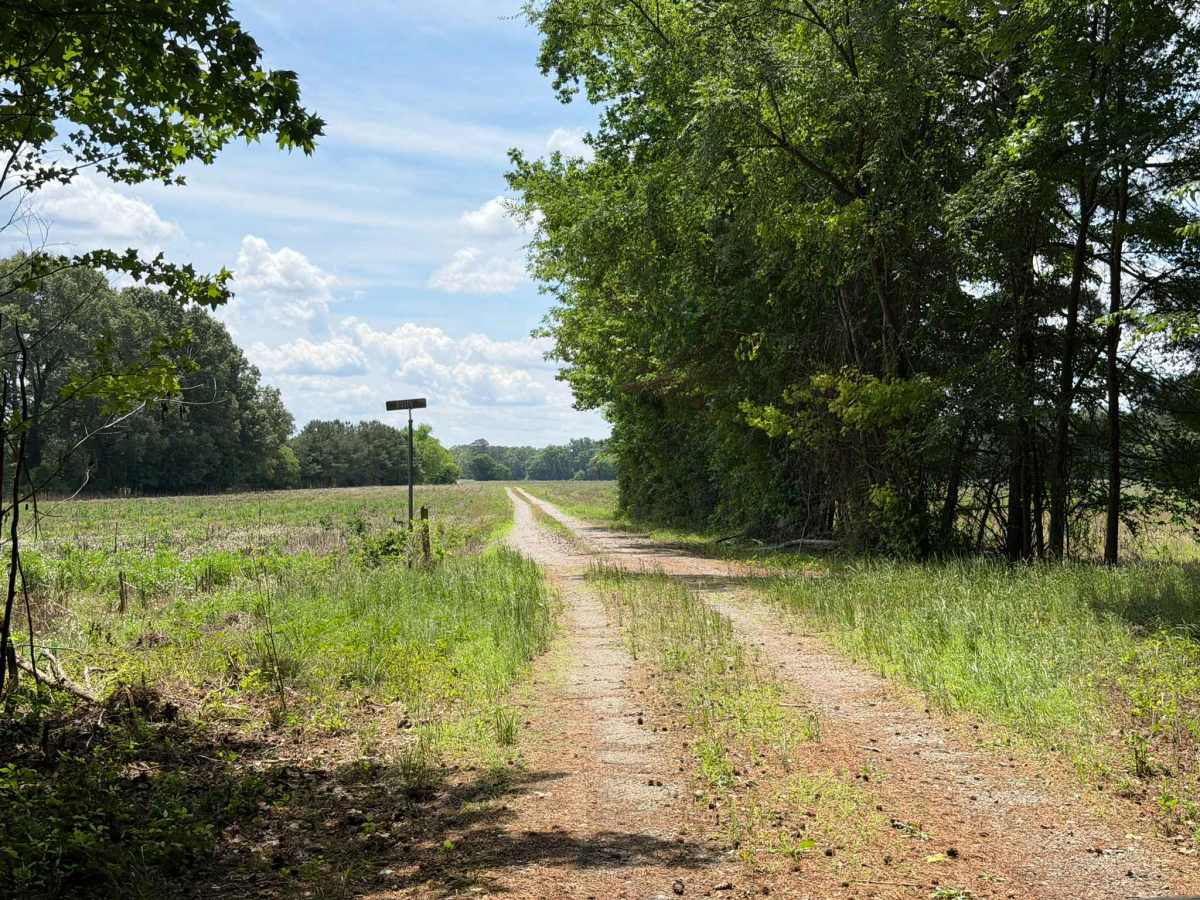
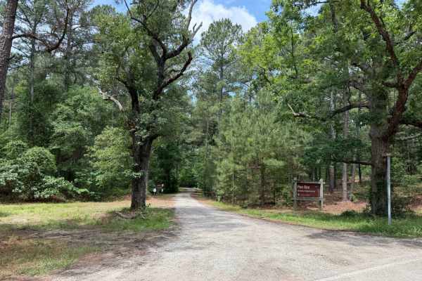
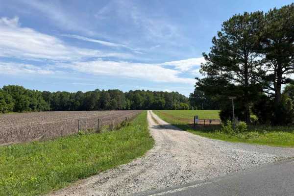
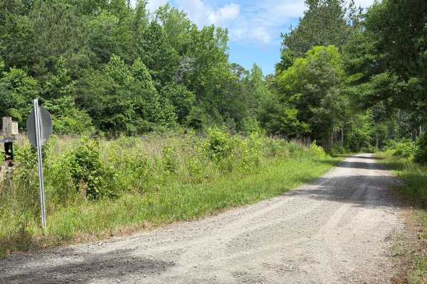
Trail Overview
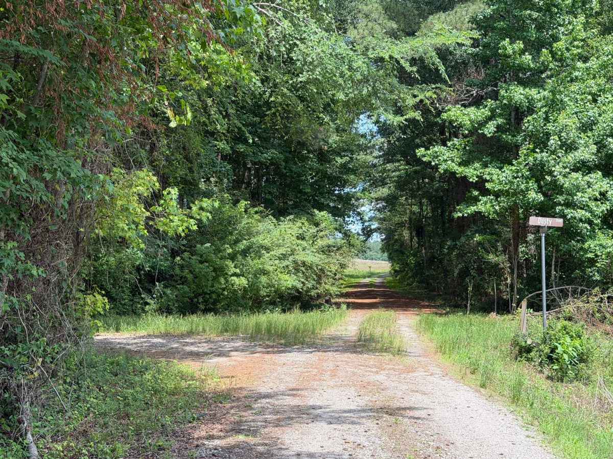
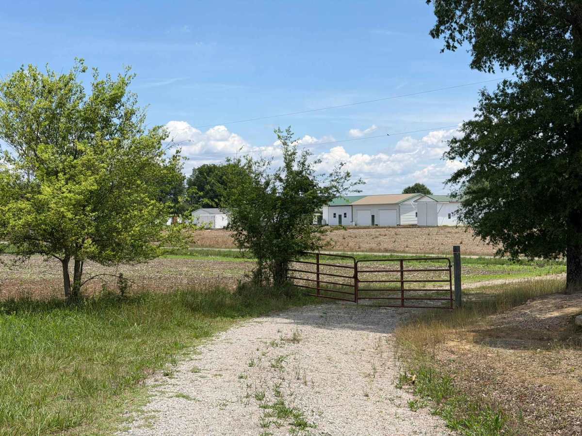
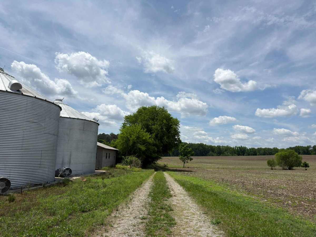
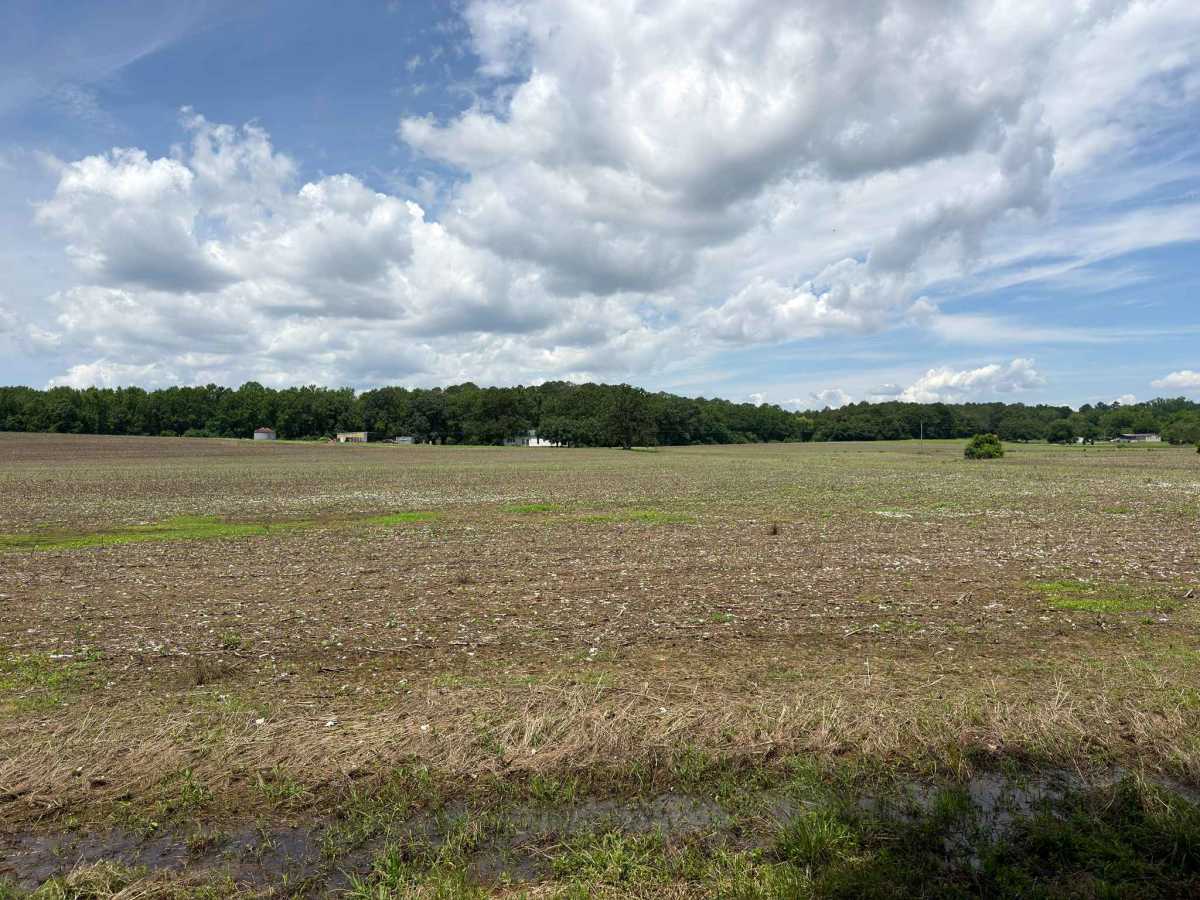
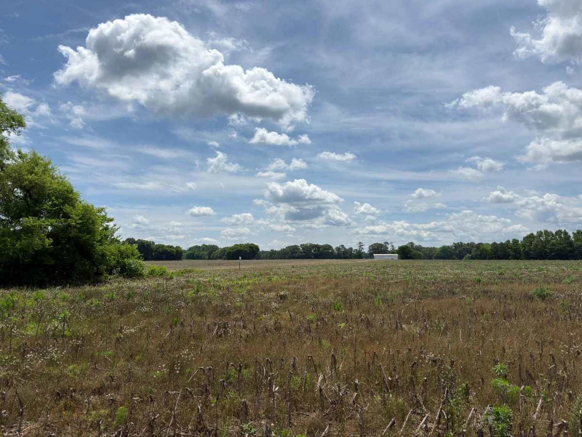
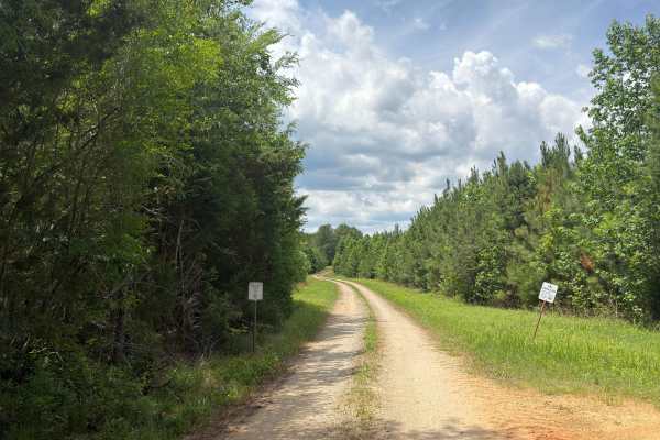
Andrews Pond Road is a major trail through the northern portion of the Pee Dee National Wildlife Refuge. The route runs through a variety of diverse environments, ranging from open fields to tight, wooded areas. Along the route, visitors can expect to see an abundance of wildlife, including deer, turkeys, and especially various bird species. The trail features an access point for the Pee Dee River, which includes an elevated platform perfect for fishing and sightseeing. Andrews Pond itself runs largely alongside the trail, offering further opportunities for scenic views and fishing. While the route is comparable to many other standard Forest Service roads, it is generally single-lane and features moderate ruts, potholes, and the potential for mud pits to form after recent rainfall. A few seasonal gates along the trail remain open from March 15 to November 24. Additional refuge-wide restrictions strictly prohibit access from one hour after sunset until one hour before sunrise.
Difficulty
The trail is generally rather easy; however, a few ruts and uneven sections from one side of the road to the other may cause issues for low-clearance vehicles. While the ruts along the route are typically not overly deep, they can reach up to 4 inches and at times be filled with water and mud depending on recent rain. Careful line choice and attentive driving can easily avoid these spots.