Trail Overview
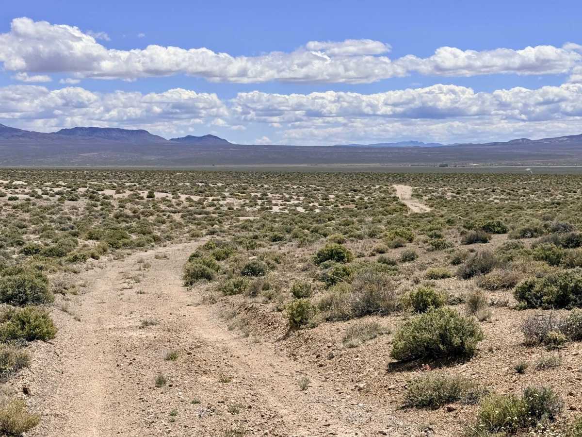
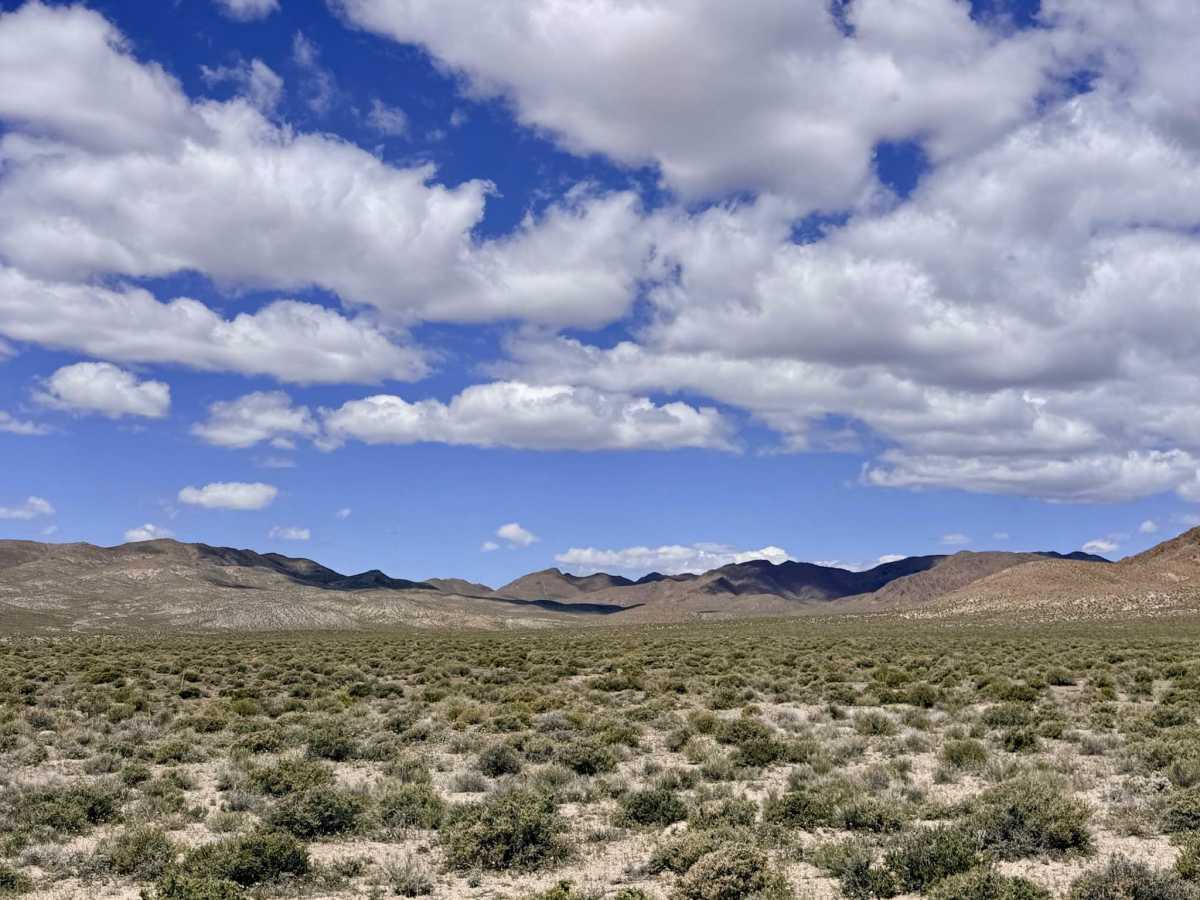
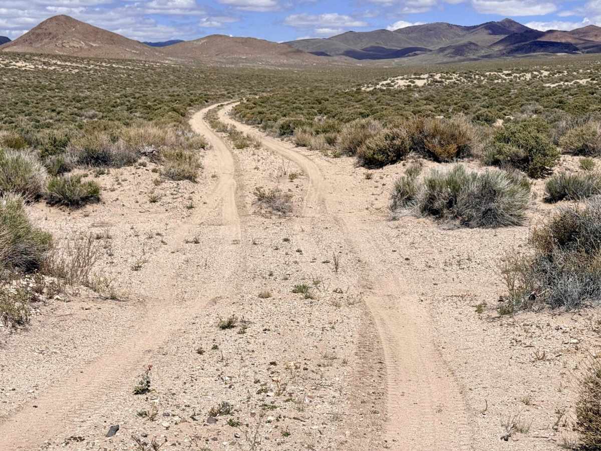
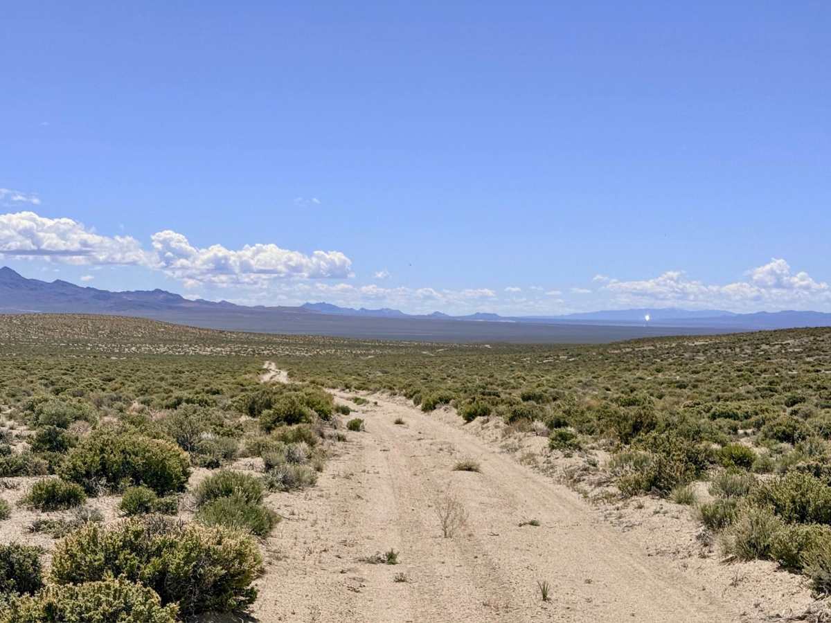
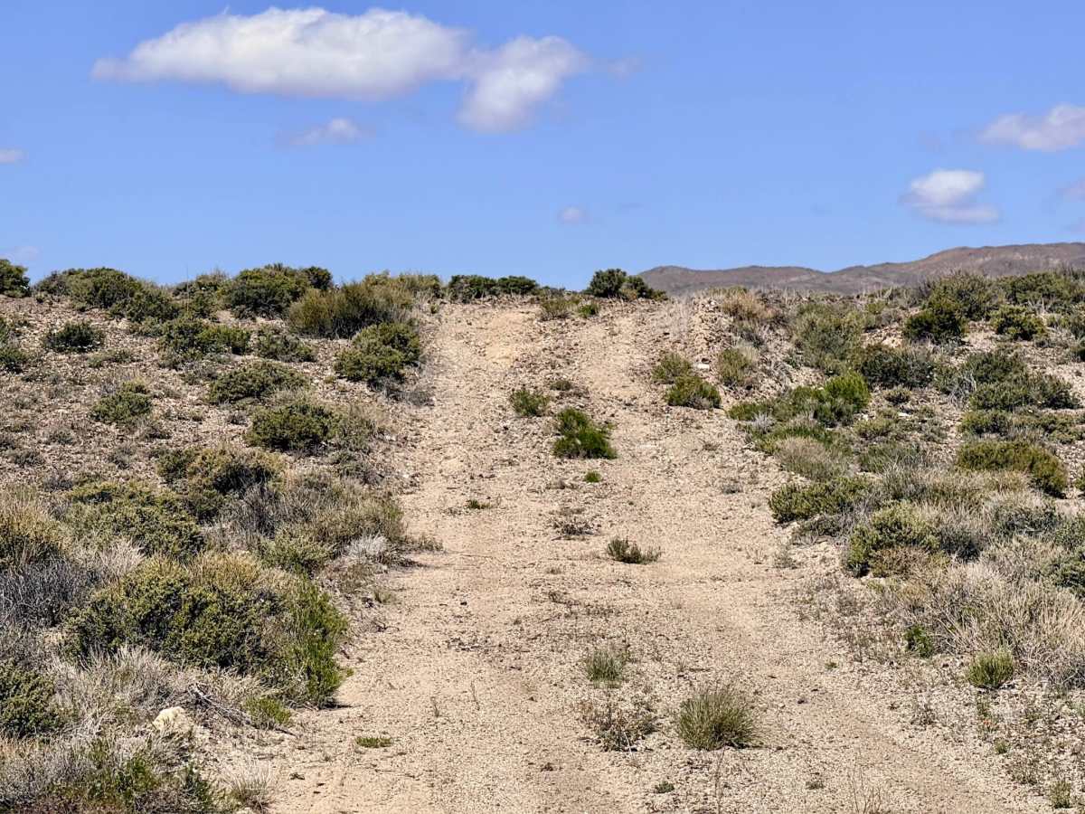
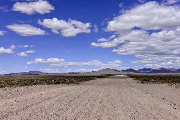
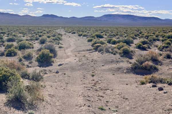
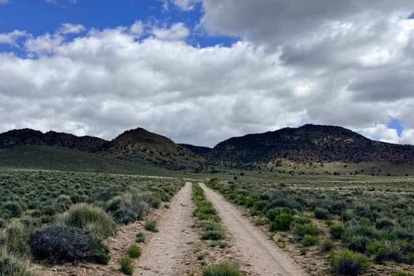
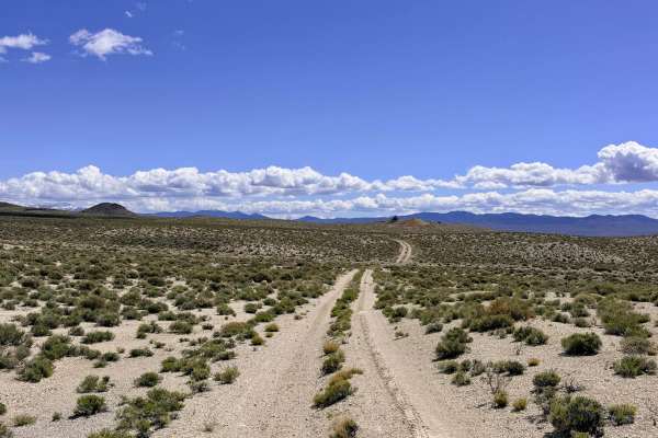
West San Antonio Road is an engaging and well-maintained desert corridor that provides high-efficiency access to some of the region's most iconic technical trails. This route serves as the primary "launchpad" for those heading from the Fremont area toward the Bank Spring Trail and the rugged Barrel Spring Dry Canyon system. The driving experience is a classic Nevada "roller coaster," characterized by a rhythmic series of rises, falls, and gentle twists as the road follows the natural valley floor. The trail offers outstanding panoramic views of the surrounding mountain ranges shimmering in the heat. As you cruise through the silver sagebrush, keep a sharp eye on the horizon; this open terrain is a favorite thoroughfare for Pronghorn Antelope. Because the road is relatively smooth and allows for a steady pace, it is an excellent choice for those looking to reach the mountain foothills quickly without the jarring technicality of the more interior tracks.
This is active cattle country. Livestock often congregate near the road; please yield the right-of-way and move slowly to minimize dust and stress on the animals. Expect zero cell service on this road. The vastness of the San Antonio Valley creates a total signal dead zone. Download offline maps before leaving the Tonopah area.
Difficulty
Rated a 2 for its generally smooth and well-graded surface. However, drivers should remain alert for occasional washouts that can "sneak up" on you. Maintaining a moderate speed is essential to safely react to these sudden dips in the road.
History
The "San Antonio" name is one of the oldest in the region, predating the 1900 Tonopah boom by decades. The San Antonio Mining District was organized as early as 1863, initially producing silver and later becoming famous for its massive salt deposits, which were essential for processing ore in the Austin mills. West San Antonio Road likely follows the same historical corridors used by 19th-century teamsters who moved supplies between the various springs and the remote mining camps that dotted these foothills.