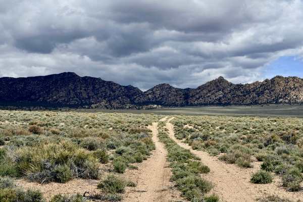
Trail Overview
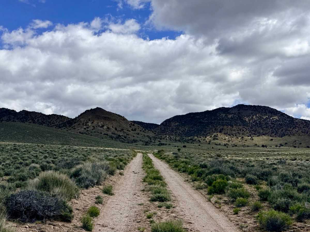
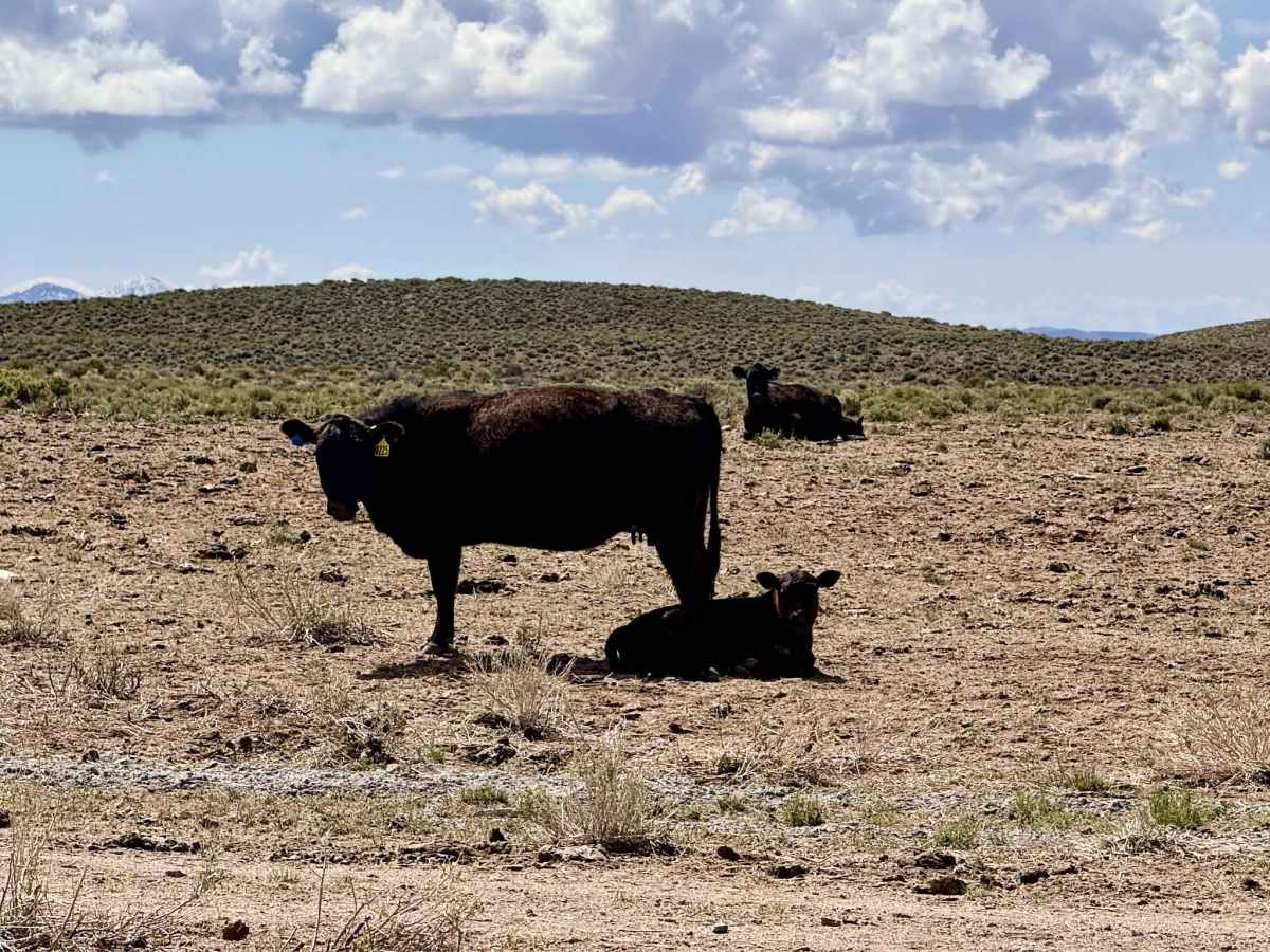
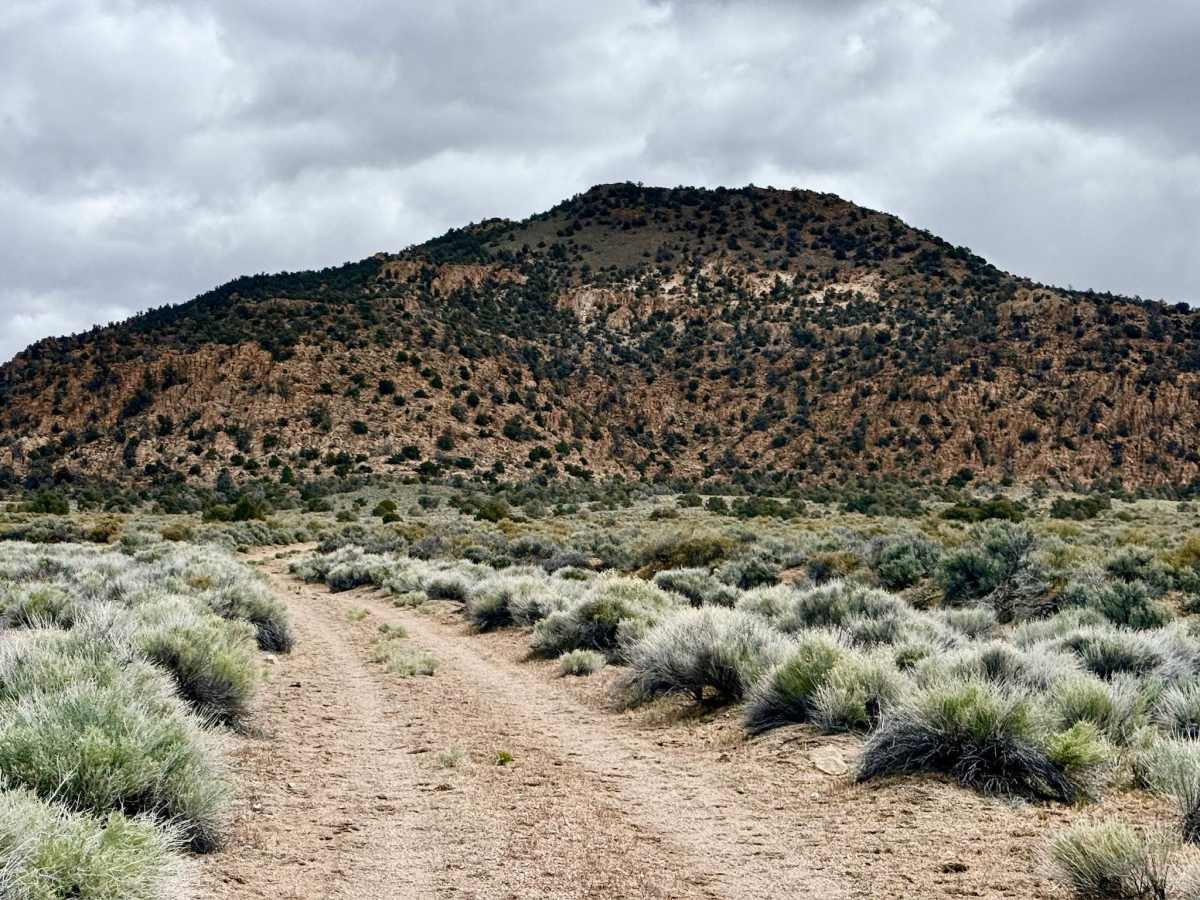
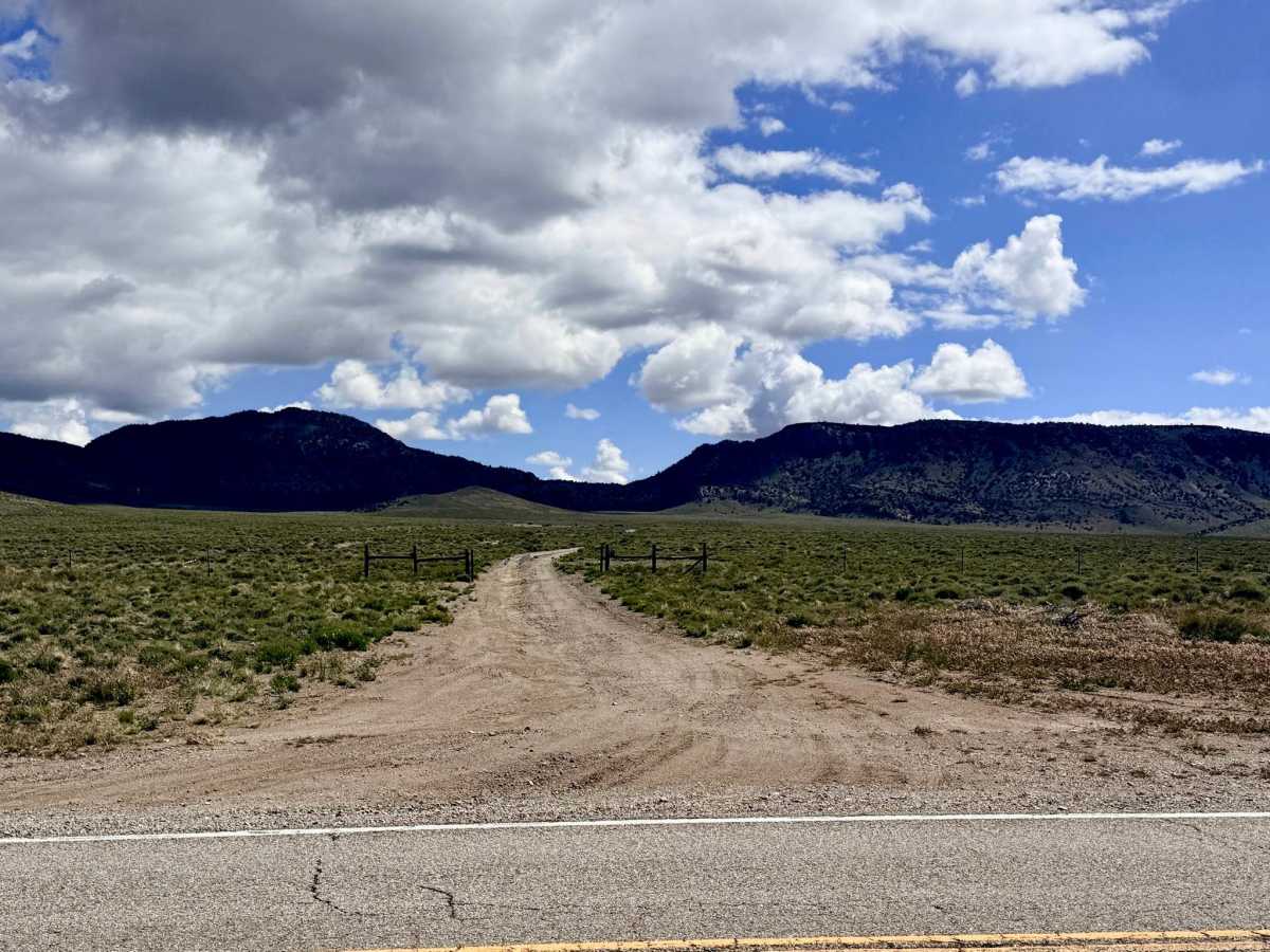
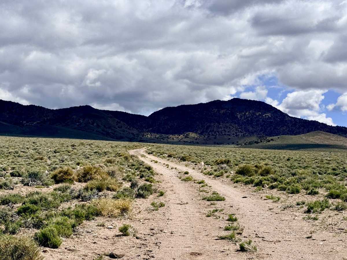
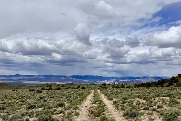
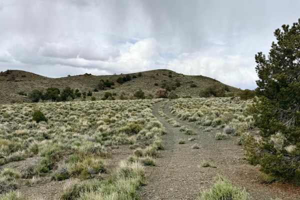
The Baxter Springs Shortcut is a pleasant and direct route that connects the paved Highway 376 corridor to the hidden waters of Baxter Springs. This trail is an excellent choice for those looking to reach the mountain interior quickly while still enjoying a scenic backcountry experience. The journey offers a classic ecological transition, beginning on the vast sagebrush valley floor before ascending gently into the cooler, aromatic belt of Utah Juniper and Pinyon Pine. As you crest the higher sections of the trail, the landscape opens up to reveal stunning, wide-angle views of the surrounding Toquima peaks. This route also provides primary access to the Baxter Springs Cordwood area, a designated zone where local residents harvest fuel for the winter. The trail is well-traveled and generally smooth, though it remains a wild Nevada track with a few mild washouts. Keep your binoculars ready, as the mix of open sage and wooded cover makes this a prime corridor for Pronghorn Antelope and Mule Deer moving between the valley and the high country.
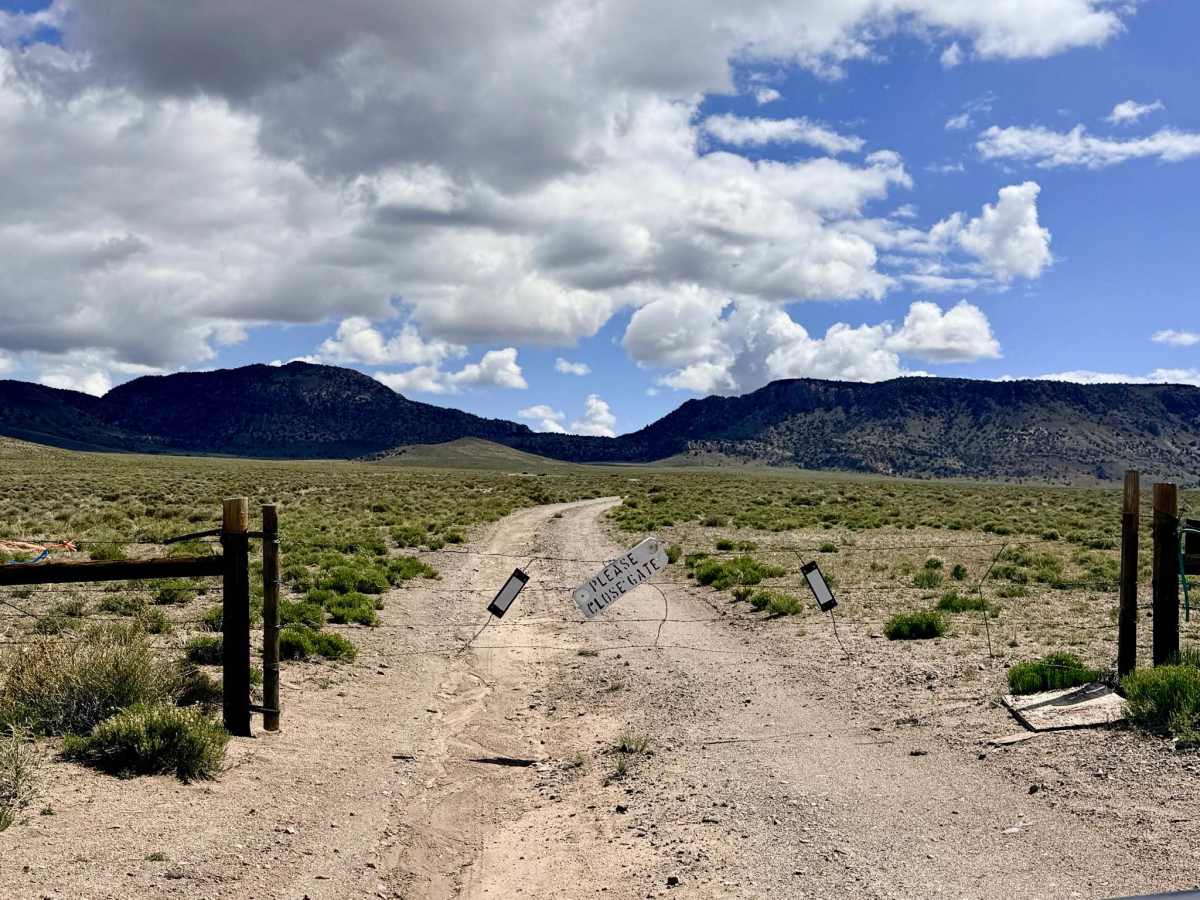
This is active open-range territory. You will encounter several cattle gates; please leave them exactly as you found them (open or closed) to assist with livestock management. Expect zero cell service for the duration of this trail. The mountain ridges effectively block all signals from the valley. Download offline maps before leaving the Highway 376 corridor.
Difficulty
Rated a 2 for its easy grade and smooth surface. However, there is no winter maintenance; snow can linger in the shaded pine groves, and the trail can become slick during the spring thaw. There are also several small ruts or wash crossings to watch for.
History
The "Cordwood" aspect of this trail tethers it to the very survival of Nevada’s early mining camps. In the late 1800s and early 1900s, wood was as valuable as silver. This "shortcut" likely follows the same primitive paths used by teamsters to haul essential timber down to the booming mining towns of the Big Smoky Valley.