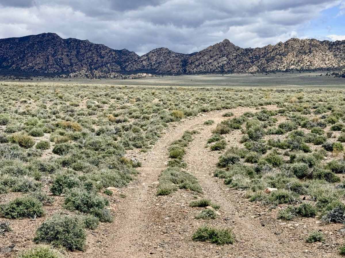
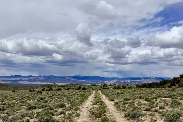
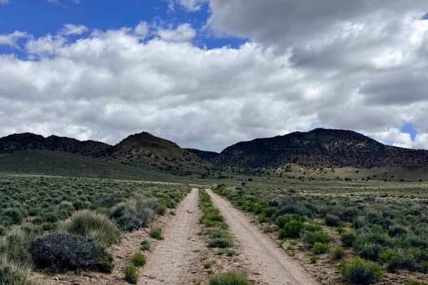
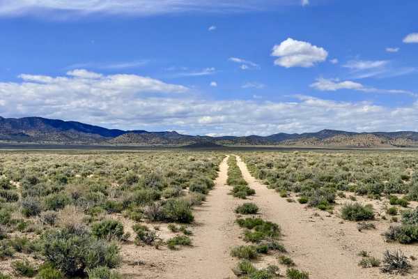
Trail Overview
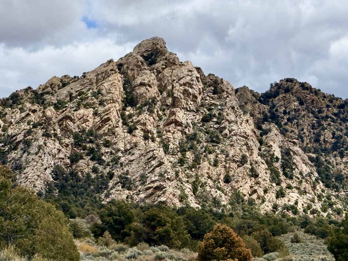
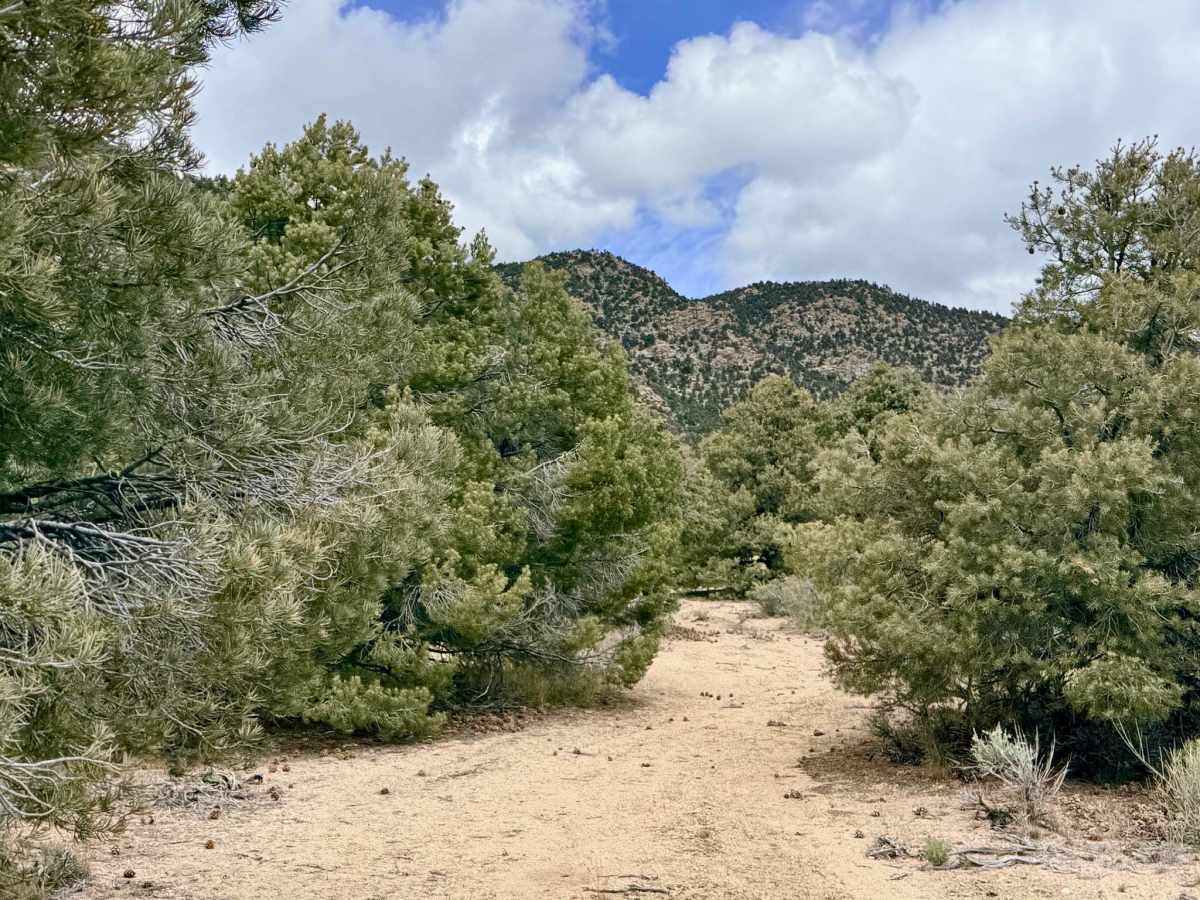
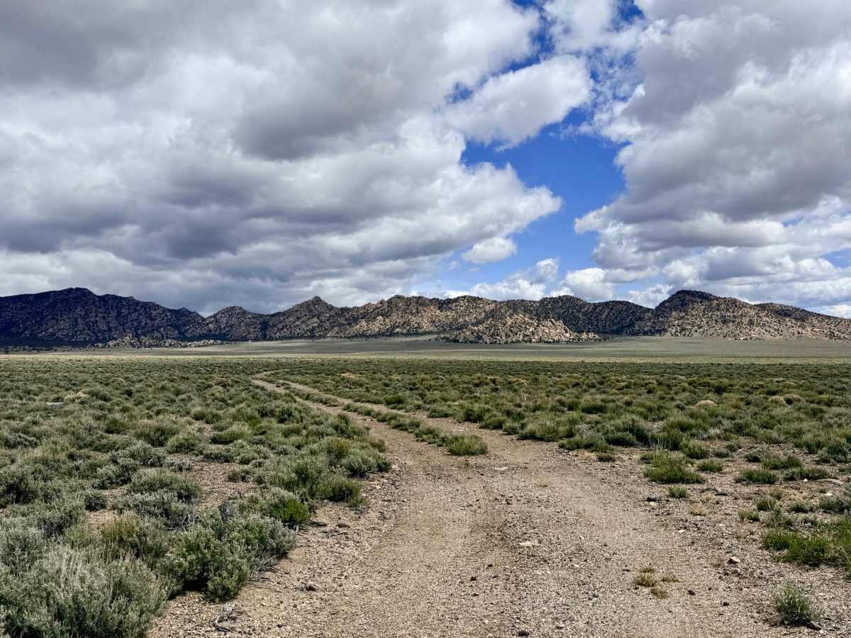
Baxters is a charming and secluded out-and-back trail that carries explorers from the open valley floor into a dense, aromatic forest of Pinyon Pine and Utah Juniper. This route is a fantastic choice for those looking to trade the vastness of the Great Basin basins for the sheltered intimacy of a mountain "sky island." As you ascend, the trail meanders through numerous offshoots, many of which lead to hidden clearings perfect for a quiet lunch or a remote basecamp. The driving experience transitions from hard-packed desert dirt into soft, decomposed granite as you reach the upper elevations. Near the end of the trail, the track begins to fade as it enters a natural grove where the soft ground allows for exploration in multiple directions. A standout feature is a majestic, large tree just before the trail’s terminus, with a well-established fire ring. This spot provides an exceptional natural windbreak, making it a premier campsite for those looking to escape the relentless Nevada gusts. This area is a frequent corridor for Mule Deer and Elk, and the surrounding rock formations offer a ruggedly beautiful backdrop to your journey.
This is active cattle country. Please yield the right-of-way to livestock and be cautious on blind corners within the timber. Expect zero cell service once you leave the valley floor. The dense timber and foothills block all incoming signals. Download offline maps before leaving Tonopah or Highway 376. Nevada is remote and arid. Carry at least one gallon of fresh water per person per day.
Difficulty
The upper portion of the trail consists of soft decomposed granite. While generally easy to traverse, be mindful of your traction in particularly soft or steep patches, especially after a rain. Once you enter the forested section, the trail narrows significantly. Expect unavoidable scratches from juniper and pine branches if you choose to take a full-size vehicle to the very end.