Trail Overview
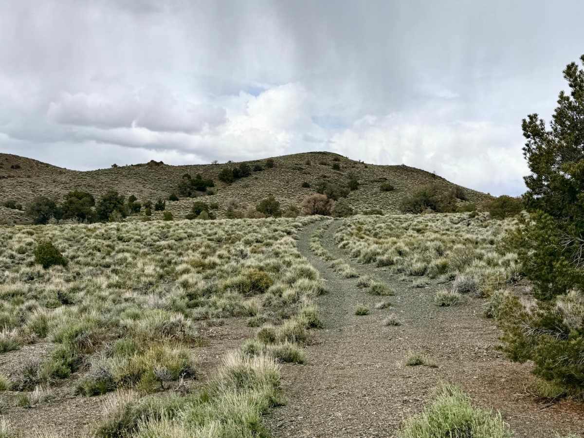
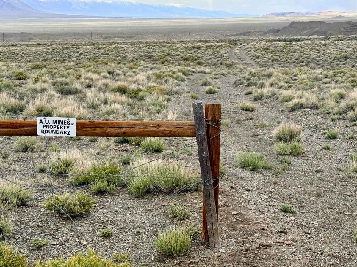
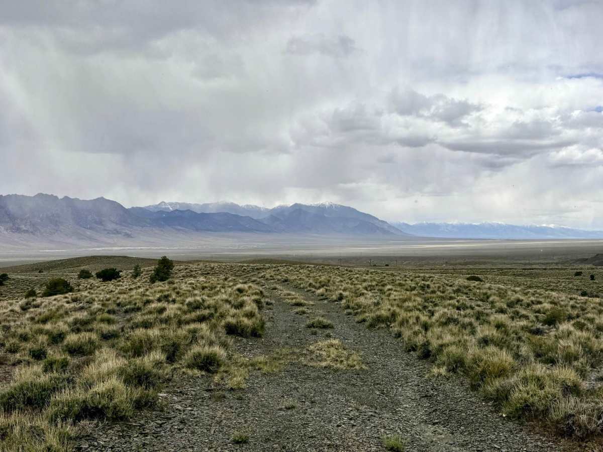
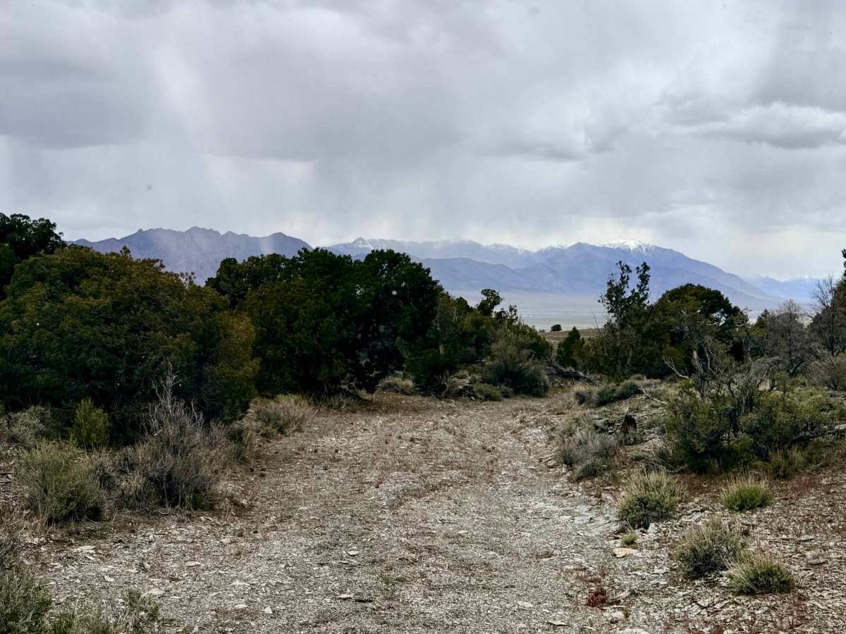
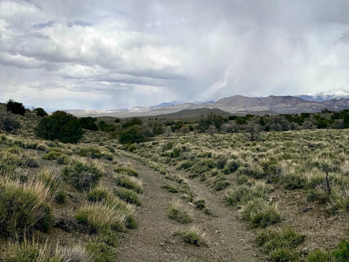
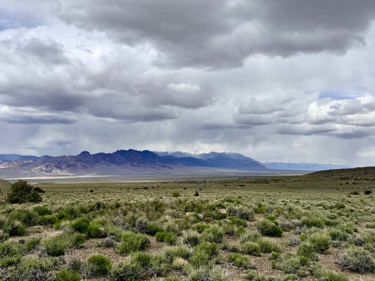
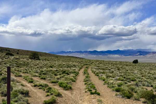
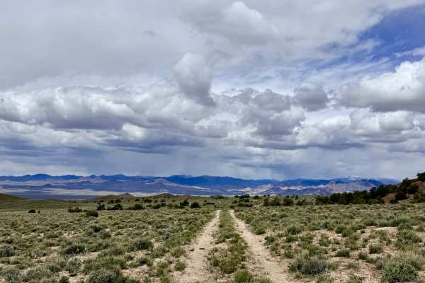
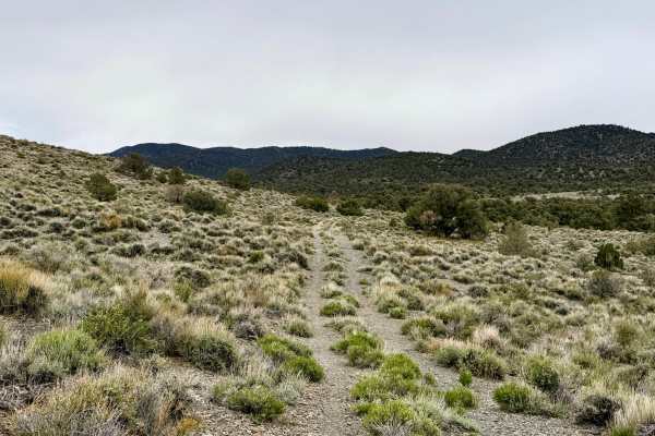
The Manhattan Willow Connect offers a spirited and engaging drive through the rugged foothills of the Toquima Range. This trail features a "roller coaster" topography, as the track runs perpendicular to the natural drainage of the mountains. Drivers will experience constant elevation shifts, climbing over high ridges only to plunge back down into deep gullies and sandy wash beds. Each hill crest serves as a spectacular vantage point, rewarding you with magnificent, wide-angle views of the surrounding peaks and the vast desert valleys below. Important Navigation Note: While this route historically served as a direct link to the town of Manhattan, the trail now terminates at a prominent gate for the A.U. Mines property. The gate is clearly marked with "Public Access Restricted" and "Dangerous Conditions" signage due to active mining operations. Explorers wishing to reach Manhattan should divert onto the Timber Hill trail, which provides a scenic bypass to link up with the main Manhattan trail system. Despite the closure at the north end, the drive remains a fantastic way to explore the various drainages and hidden folds of the southern Toquima foothills.
Expect zero cell service at the southern end of the trail. You may pick up a couple of bars of LTE as you near the northern end, closer to Manhattan, but it is unreliable. Download offline maps before leaving the Tonopah or Manhattan area.
History
The Manhattan district, just north of this trail, was the site of one of Nevada’s great 20th-century gold rushes. Established in 1905, it outlived many other boomtowns due to the massive "placer" gold deposits found in the canyon gravels. This connector trail likely began as a supply route for miners traveling between the high-altitude springs and the stamp mills of Manhattan.