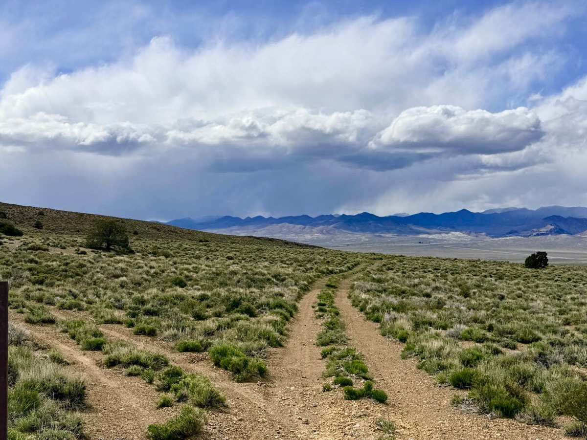
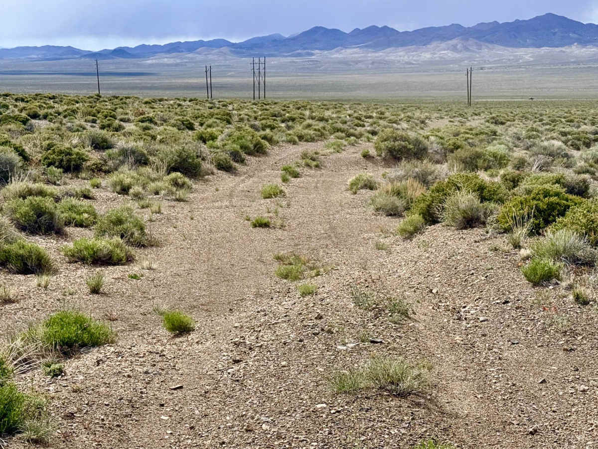
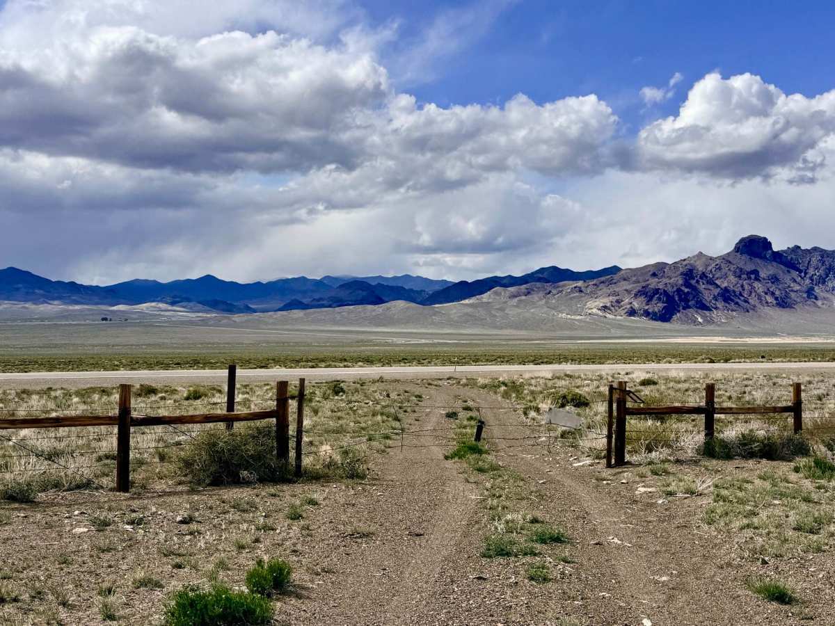
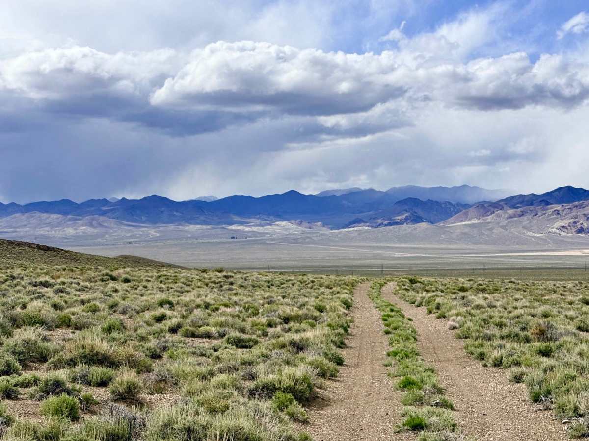
Trail Overview
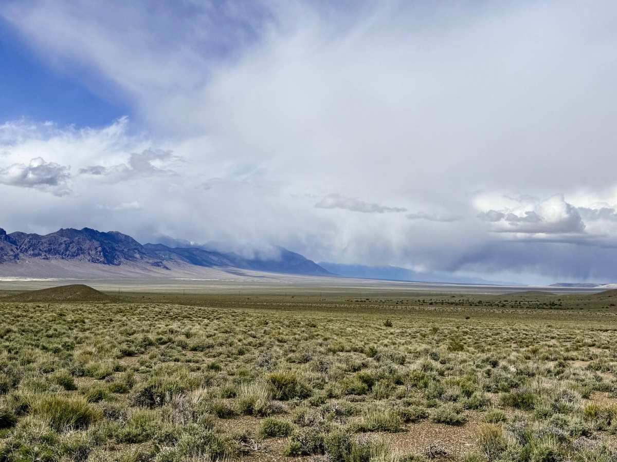
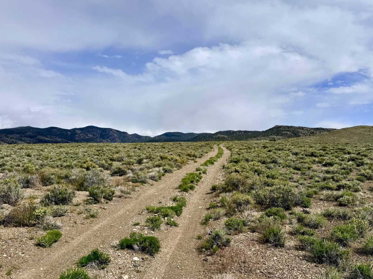
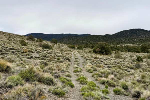
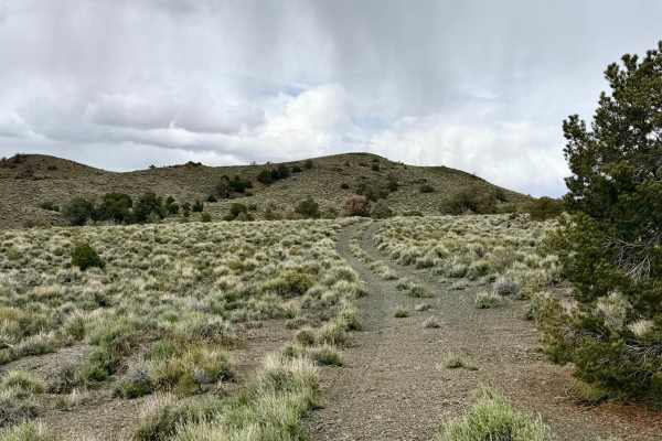
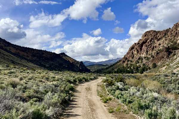
The Transmission Line Tie Road serves as a vital "expressway" between the paved Highway 376 corridor and the complex network of trails tucked within the mountain foothills. This route is an excellent choice for those looking to shave time off their transit or for explorers seeking a low-stress entry into the backcountry. The driving experience is characterized by its wide-open perspective; as you cruise along the utility corridor, you are treated to expensive, unobstructed views of the Big Smoky Valley floor with the rugged mountains serving as a dramatic permanent backdrop. The road surface is generally smooth, allowing for a comfortable pace through the silver sagebrush and desert scrub. While the route follows the industrial skeleton of the regional power grid, the natural beauty of the area remains impactful. Keep an eye on the horizon for Pronghorn Antelope; it is not uncommon to see them sprinting across the flats at incredible speeds.
This is active cattle country. Livestock frequently congregate near the utility corridors; please yield to cattle on the road and maintain a steady, slow speed to minimize dust. You may pick up one bar of LTE service near the Highway 376 junction, but it vanishes completely as you gain elevation toward the hills. Download offline maps before leaving the pavement.
Difficulty
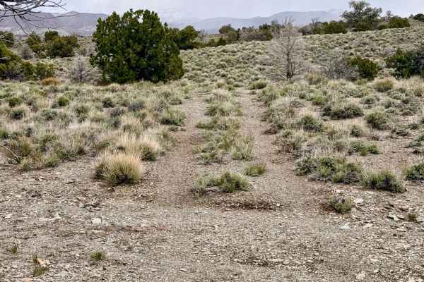
Rated a 2 for its smooth, well-maintained surface. However, drivers should remain alert for the occasional "sneaky" washout or minor wash crossing that can cause a sudden jolt if approached too quickly. Suitable for all high-clearance vehicles and SUVs. Under dry conditions, this route is accessible for standard crossover vehicles.
History
The Transmission Line Tie Road is a modern reflection of the ongoing human effort to harness the resources of the Great Basin. In the early 1900s, this area was a flurry of activity as engineers raced to bring electricity to the boomtowns of Tonopah and Manhattan to power the massive gold and silver mills. These transmission lines are the descendants of those early electrical grids, tracing a path through the same valley floor where 19th-century teamsters once drove massive freight wagons.