Trail Overview
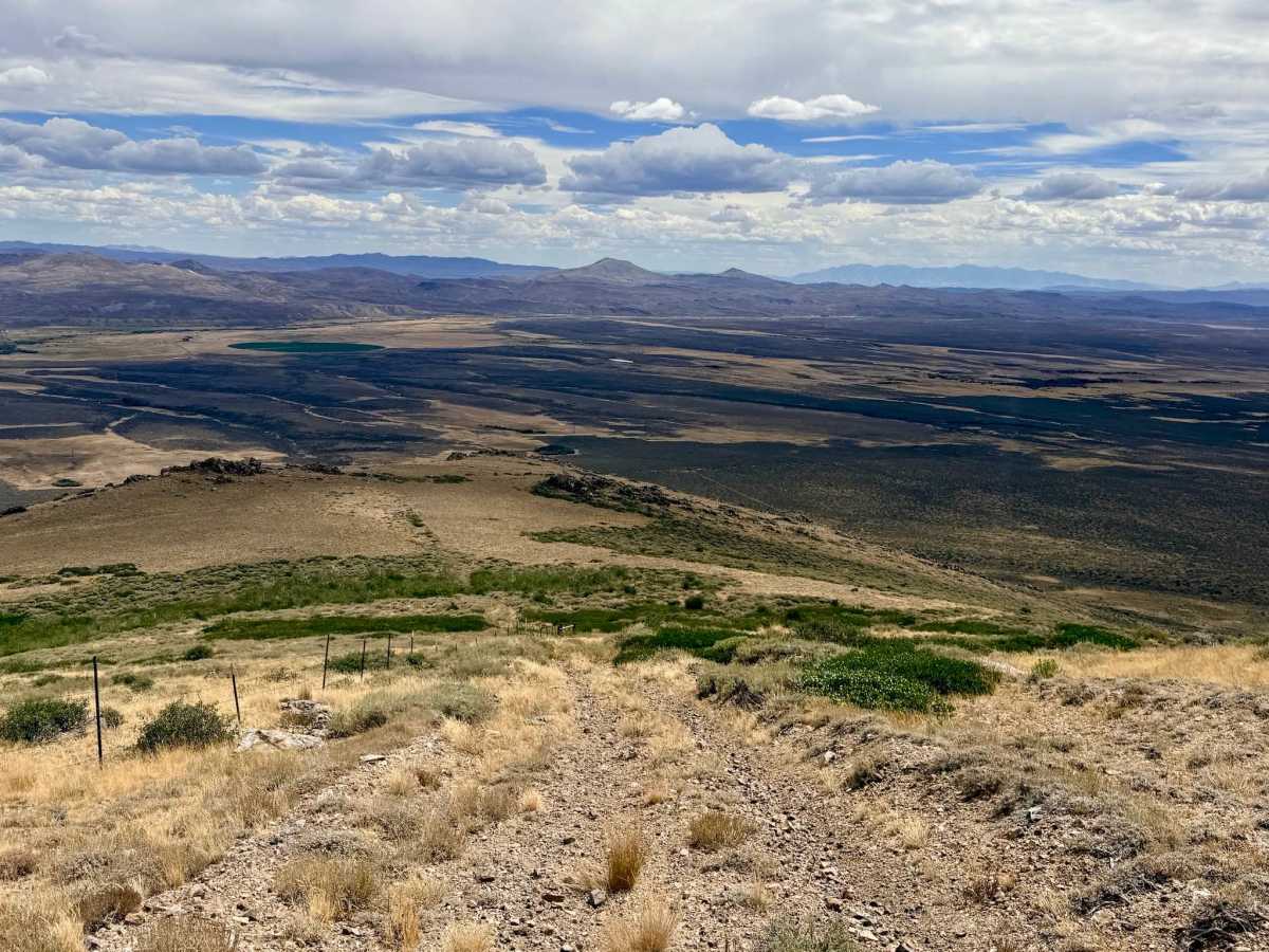
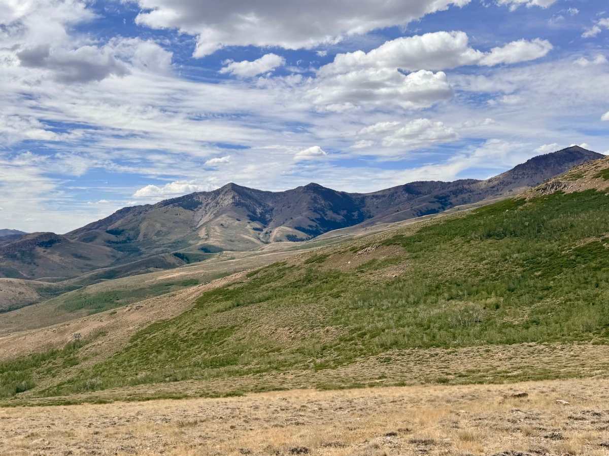
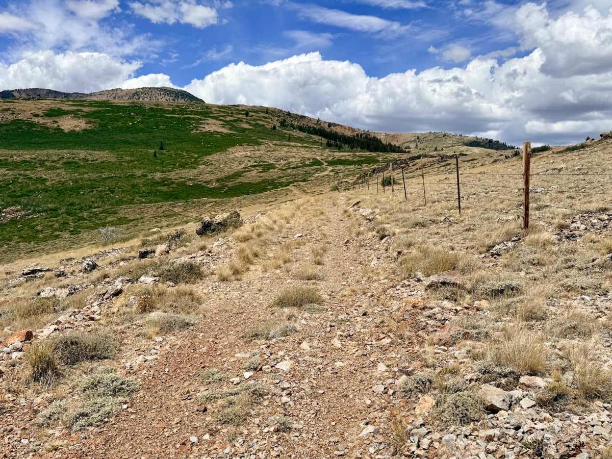
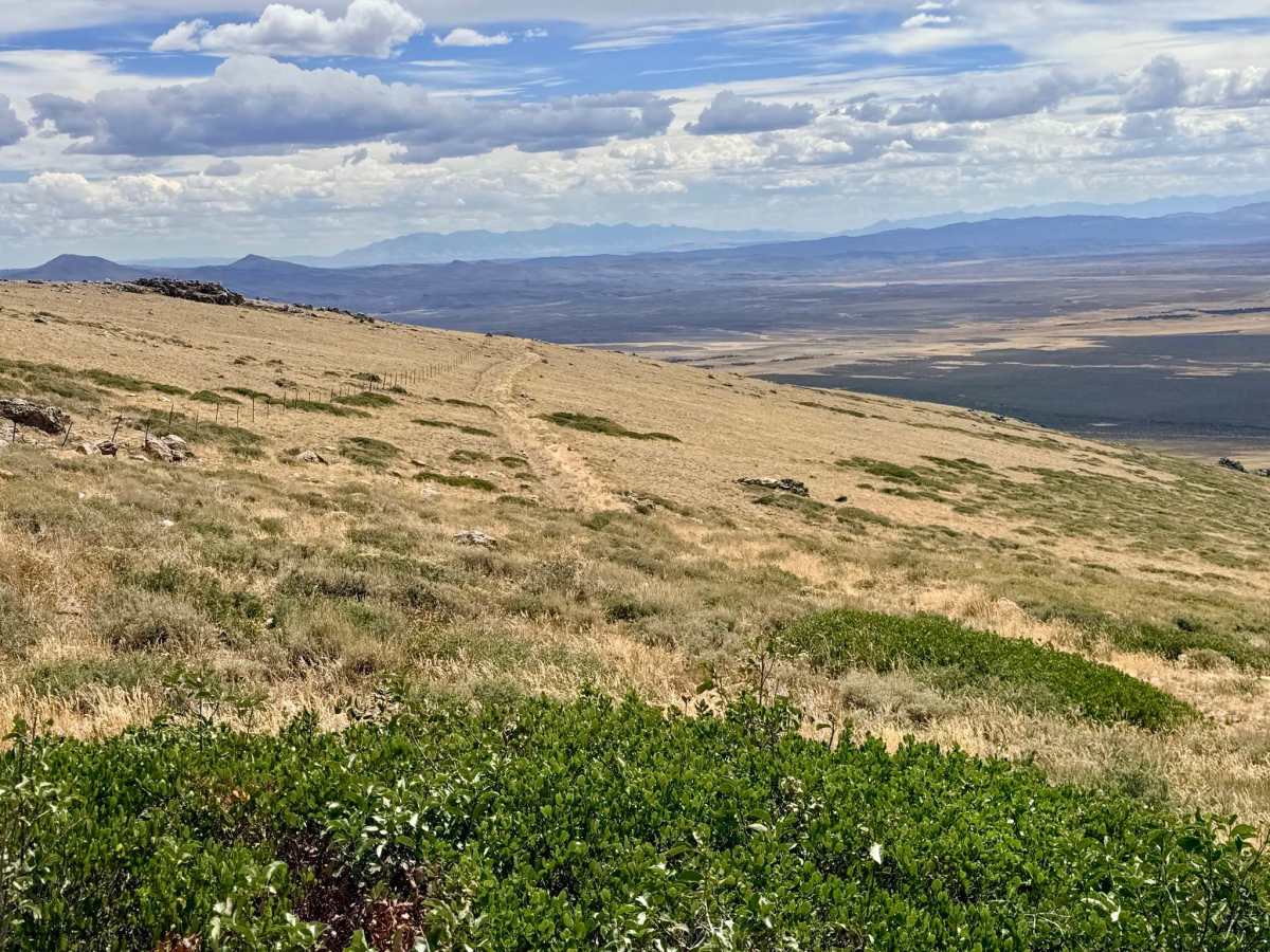
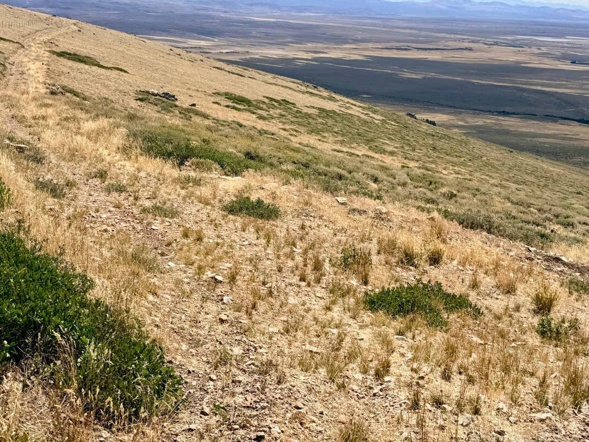
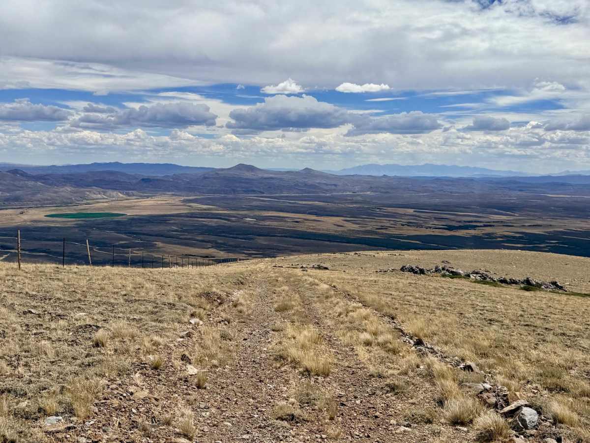
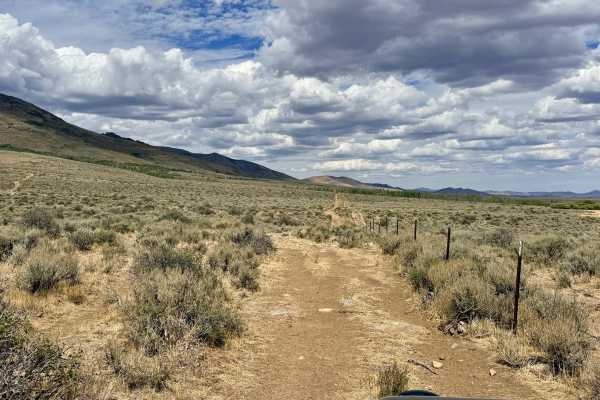
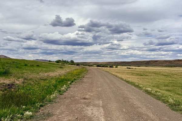
Walker 6 is a utilitarian, no-nonsense trail that was clearly blazed to serve as a fence line maintenance route. Instead of winding around the terrain, it shoots straight up (or down) the mountainside. It serves as a highly direct route from the lower pole line up to the Jeanette trail junction. While the neighboring North Fork Pratt Extension offers a more scenic, twisty, and leisurely drive to the same peak, Walker 6 is the faster, albeit much steeper and rougher, alternative. Both trails successfully meet at the top of the ridge. This is an active open-range grazing area. Be prepared to encounter cattle on the trail and ensure you have the appropriate vehicle clearance and gearing to handle a sustained, steep, and bouldery incline without overheating your transmission or brakes. The area has a couple of bars of reliable LTE cell service, which is a nice bonus for such a rugged climb.
Difficulty
Characterized by a long, steep, loose, and rocky climb. Because it follows a fence line straight up the mountain, it lacks switchbacks and features sections with loose scree and boulders, demanding proper traction and 4-Low.