Trail Overview
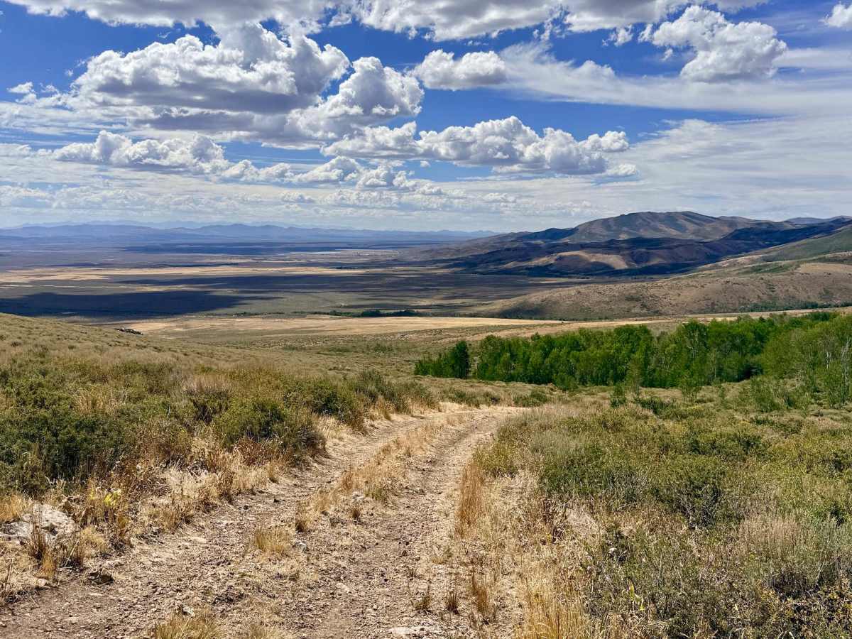
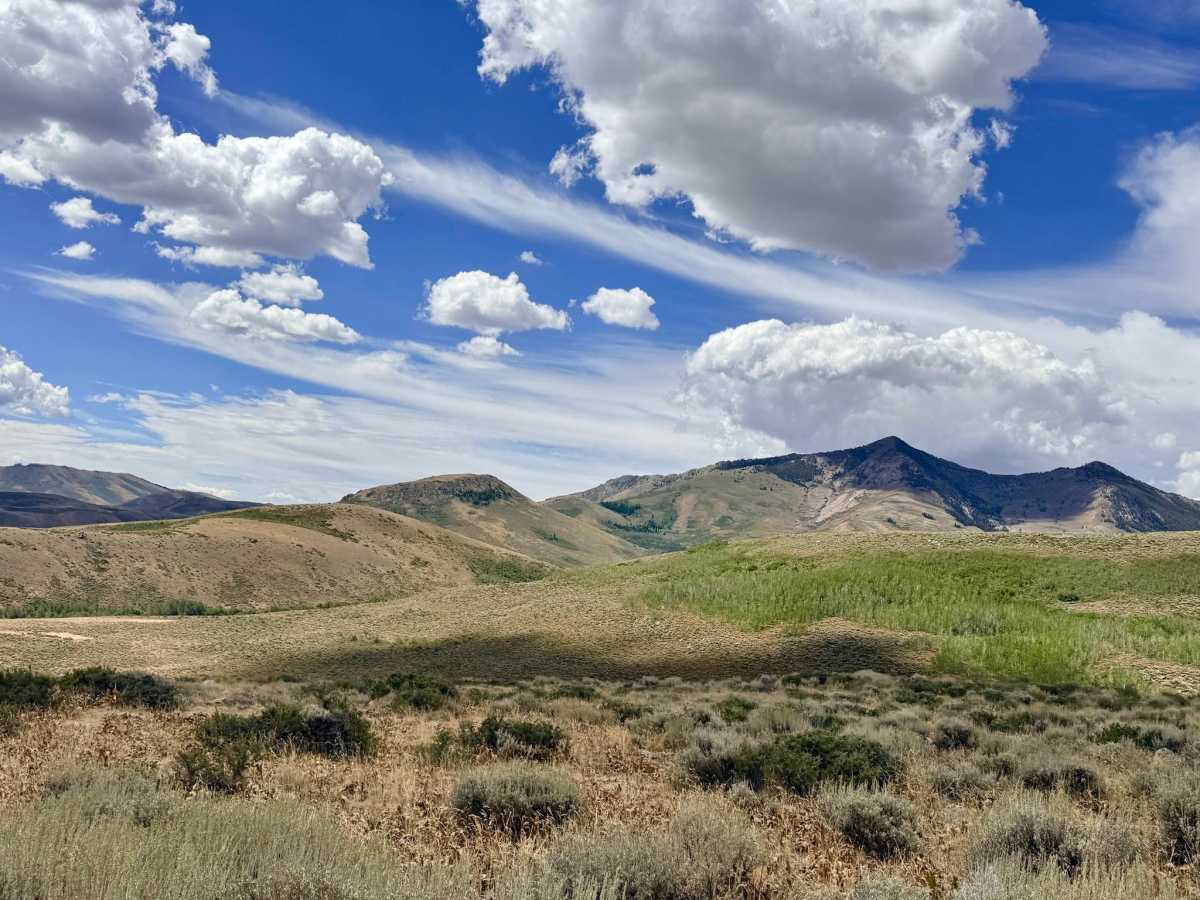
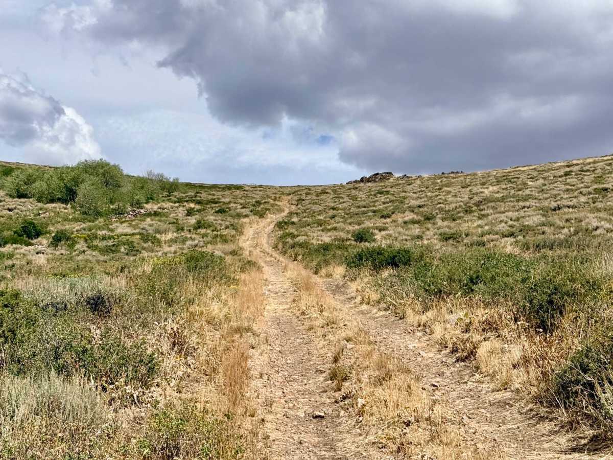
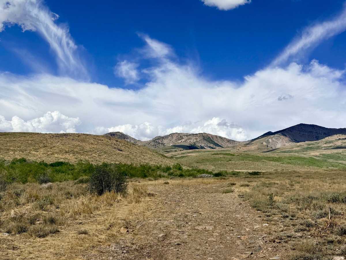
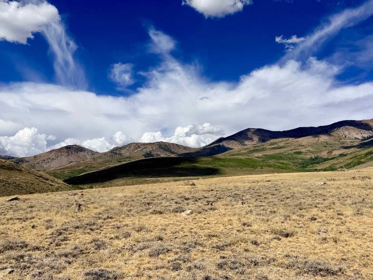
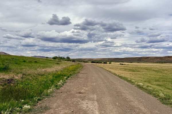
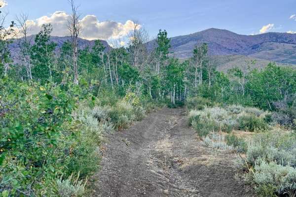
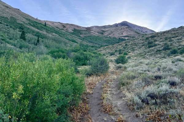
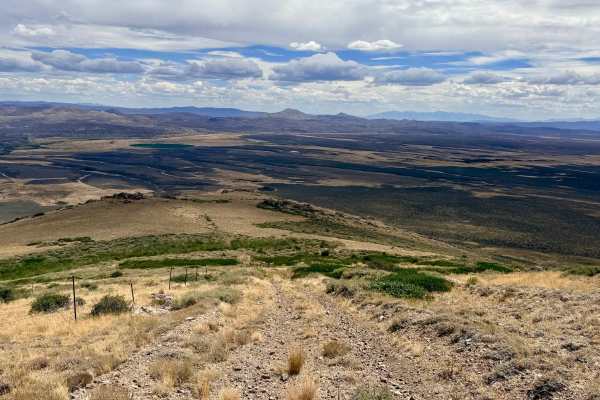
Branching off from the lower section of the North Fork Pratt trail, this connector route begins in beautiful grassy plains that offer a stunning visual contrast. Travelers are treated to rolling foothills in the foreground set against the sharp, jagged rock formations of McCarthy Peak straight ahead and Independence Peak to the left. The trail climbs aggressively into the hills, eventually merging directly into the Jeanette Trail (what used to be a Y-junction is now a single, continuous route), which continues toward Jeanette Lake. As you gain elevation, the trail offers amazing, sweeping views out across the valley below. There are a couple of bars of LTE cell service available on this route. For those planning to continue up the Jeanette Trail, be aware that the odds of actually finding water in Jeanette Lake are quite low. This is an active open-range area, so you are highly likely to encounter cattle on or near the trail.
Difficulty
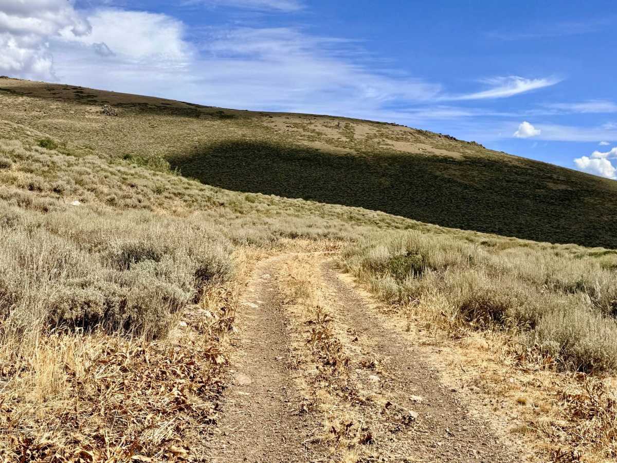
The route requires navigating long, rocky hill climbs, loose rock sections, and the occasional boulder. The trail is notably rutted from water drainage crisscrossing the tracks, making for a slow, bumpy ride.