Trail Overview
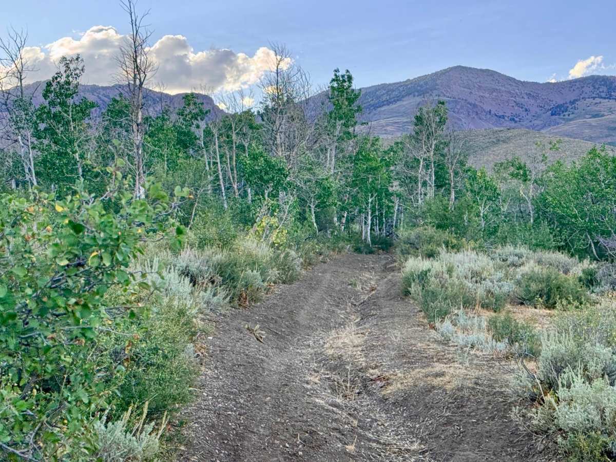
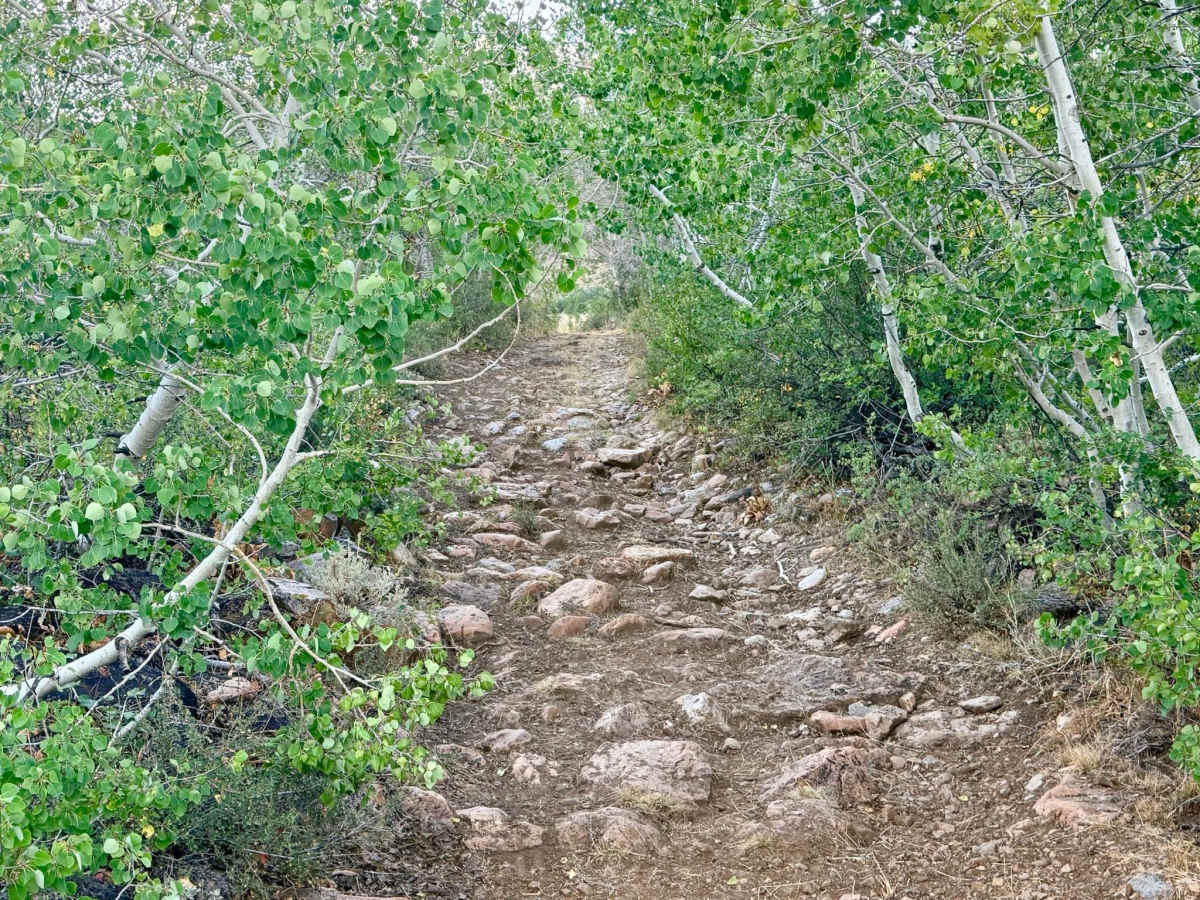
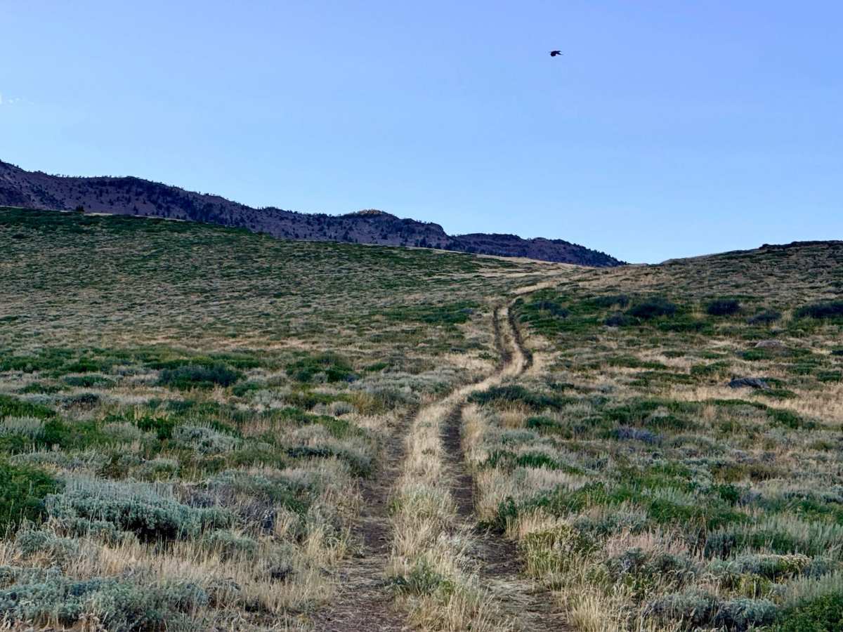
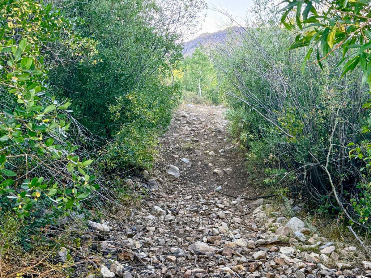
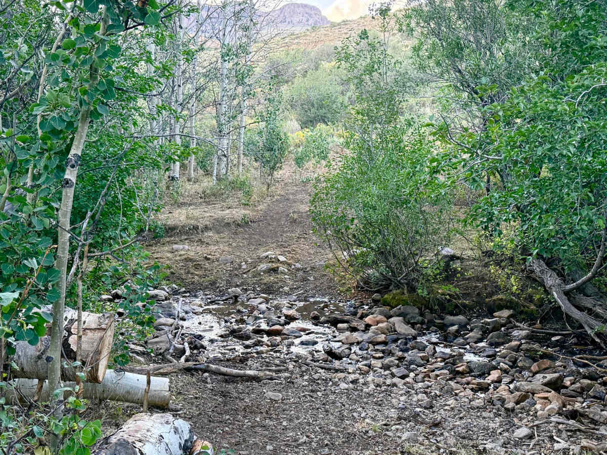
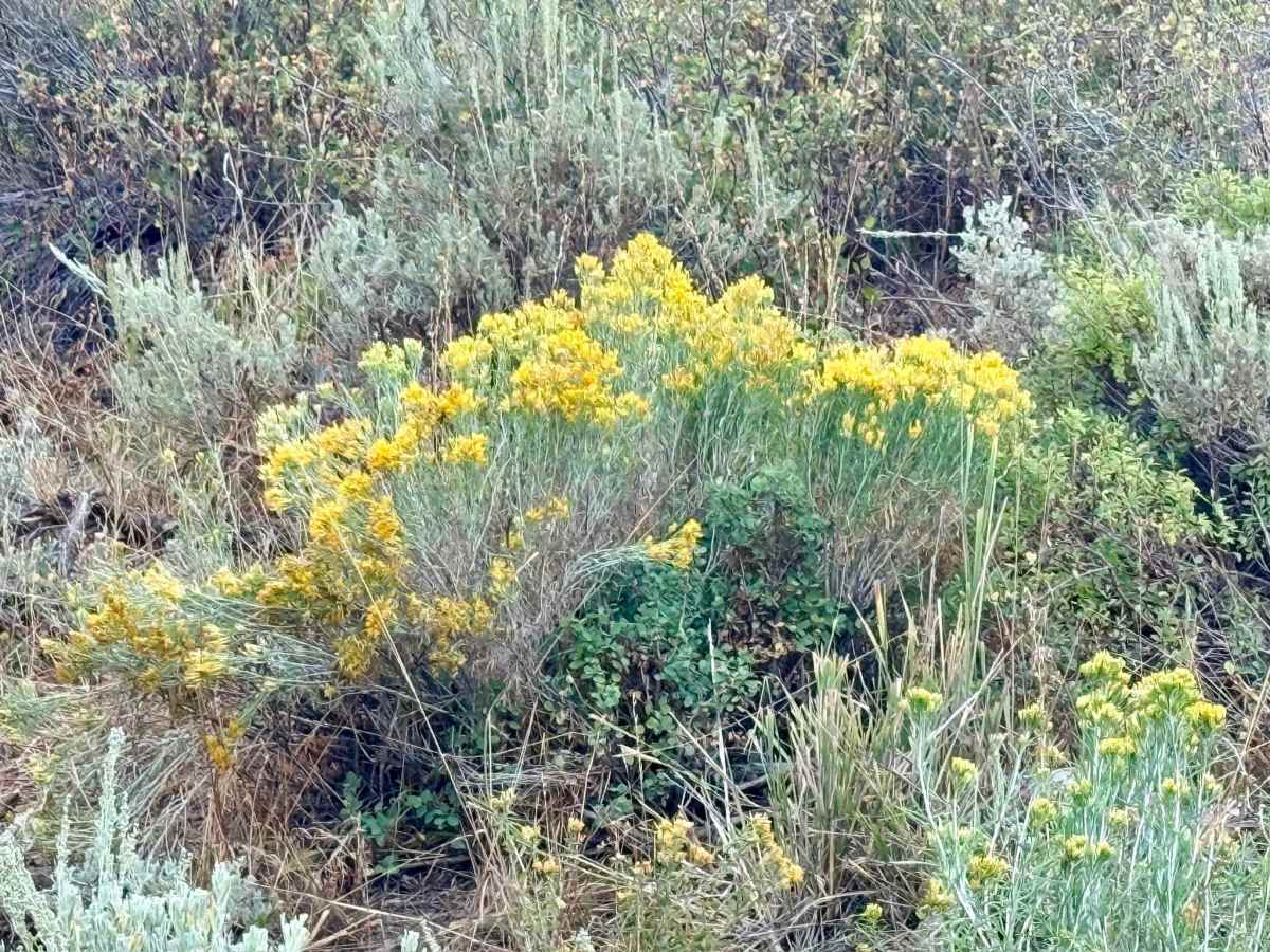
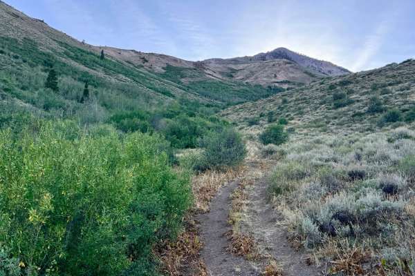
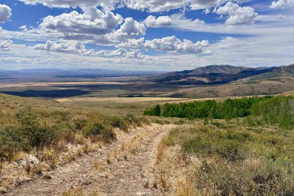
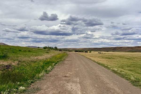
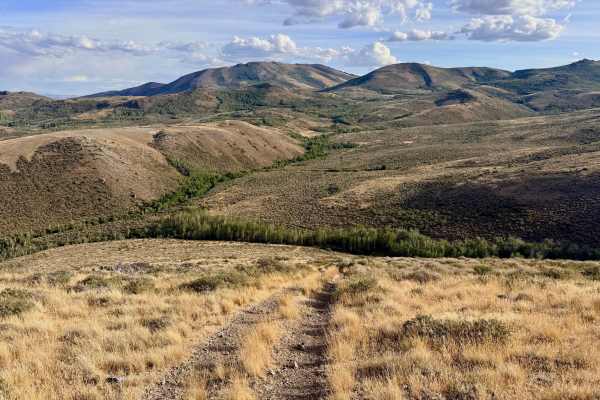
This trail picks up at a network junction where the Independence Trail ends. Pratt takes you on a rugged climb along the northeastern side of Independence Mountain. The trail ascends from the lower canyons into the foothills, offering a dynamic, challenging drive that frequently shifts between dense tree sections and wide-open sagebrush meadows. The route demands navigation through rocky, loose hill climbs, but conquering each crest rewards drivers with outstanding, sweeping views of the surrounding mountains. Exercise caution around "sneaky rocks" hiding in the tall grasses along the trail's edge, which pose a significant risk to tire sidewalls. Deep creek crossings with large boulders also require careful tire placement. Pinstriping (paint damage) is guaranteed as you squeeze through the narrow Aspen groves. At its northern terminus, the route connects to the more established North Fork Pratt Creek out-and-back trail; this connection climbs even higher into the mountains and is highly recommended as a scenic side excursion. Expect spotty and unreliable communication; there is roughly one bar of LTE cell service that fades in and out along the route.
Difficulty
Rated for steep, loose, and rocky hill climbs featuring tight turns, deeper creek crossings containing large boulders, and exceptionally narrow tree sections. Pinstriping (paint damage) is guaranteed as you squeeze through the narrow Aspen groves. Additionally, be prepared with tools to clear downed trees from the trail following a storm.