Trail Overview
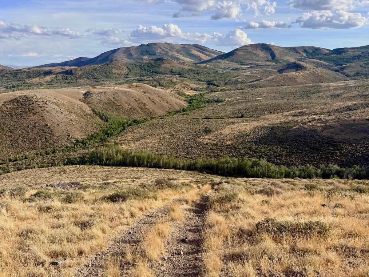
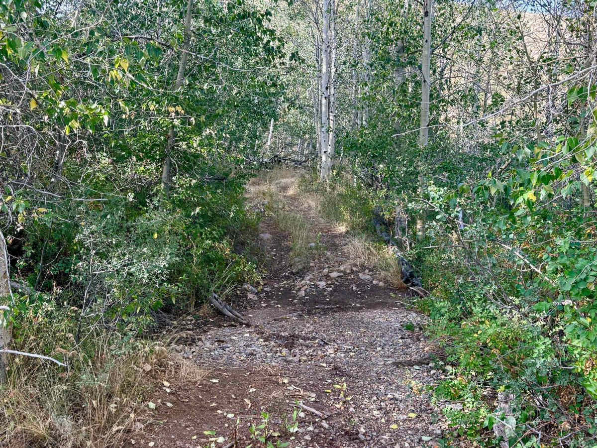
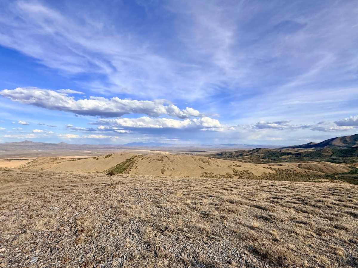
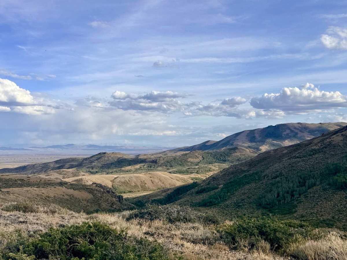
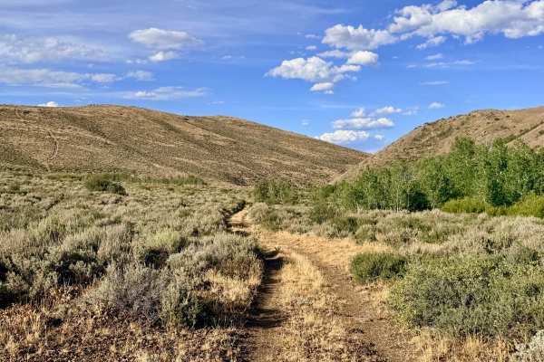
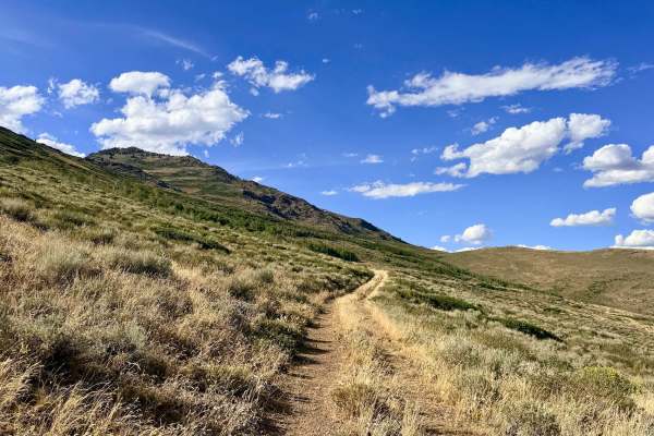
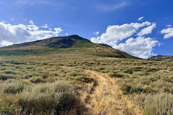
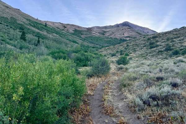
Serving as the primary access road into and out of the Winters Creek area from the main Independence Mountain Trail, this fun but demanding route features significant elevation changes. The trail is characterized by its long, loose, and steep hill climbs and descents, along with a decently long off-camber section that will test your vehicle's stance. At the bottom of the grade, the trail crosses the North Fork Winter Creek; while narrow and dry at the time of recording, this lower area is notably buggy. As you climb out of the valley, you are rewarded with outstanding, expansive views of Independence Mountain, the sweeping eastern valleys, and beautiful Aspen groves nestled in the draws below. Cell service is highly dependent on elevation. You can expect about one bar of LTE at the very top of the hills, but zero service down in the valleys.
Difficulty
Rated a 4 for long, steep, and loose rocky hill climbs, as well as a decently long off-camber section. If your vehicle is well-equipped for steep traction, it leans closer to a 3.
History
Like many of the steep connector trails in the Independence Mountains, North 5 likely originated as a rugged transit route for early prospectors or ranchers needing to bridge the gap between the high mountain passes and the lower valleys. Today, it remains a critical, albeit challenging, artery for modern backcountry exploration.