South Dell - FS 16262

Total Miles2.4
Technical Rating
3Easy
Best TimeSpring, Summer, Fall
Trail TypeFull-Width Road
Accessible By
Open Trail Map

Trail Overview

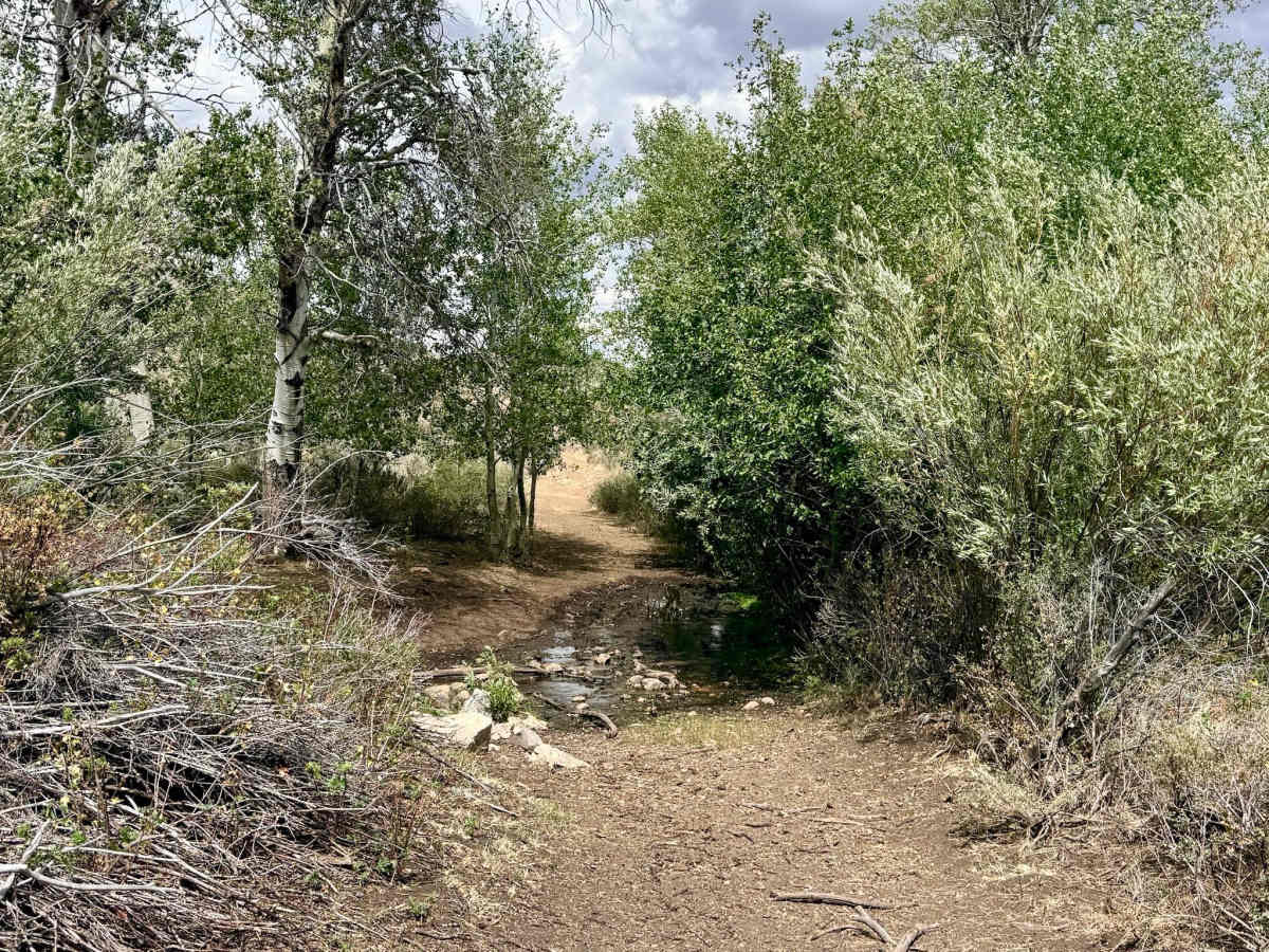
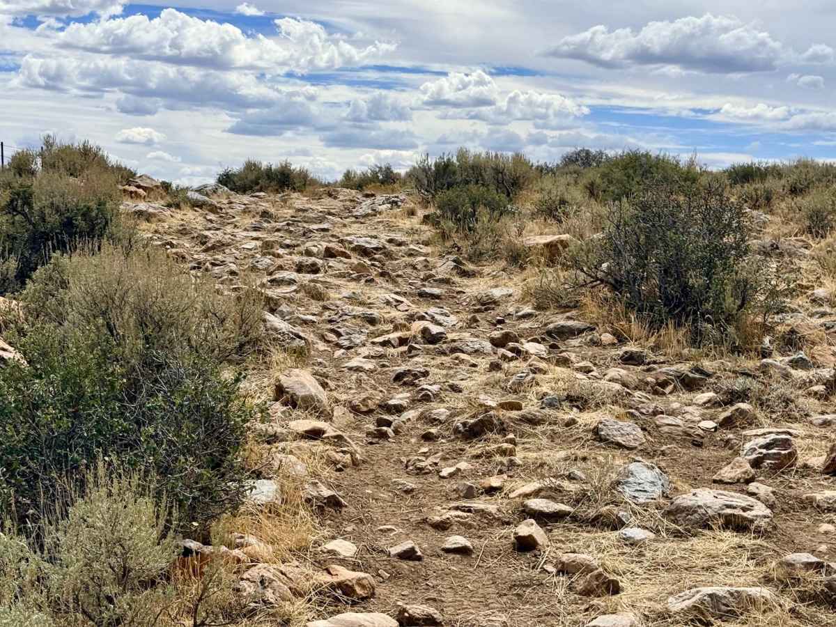
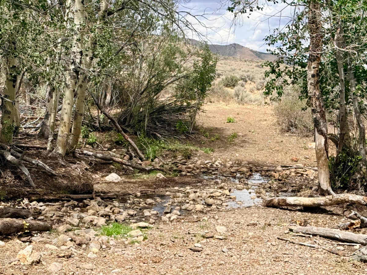
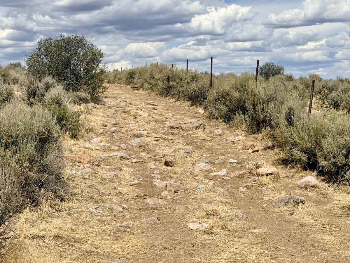
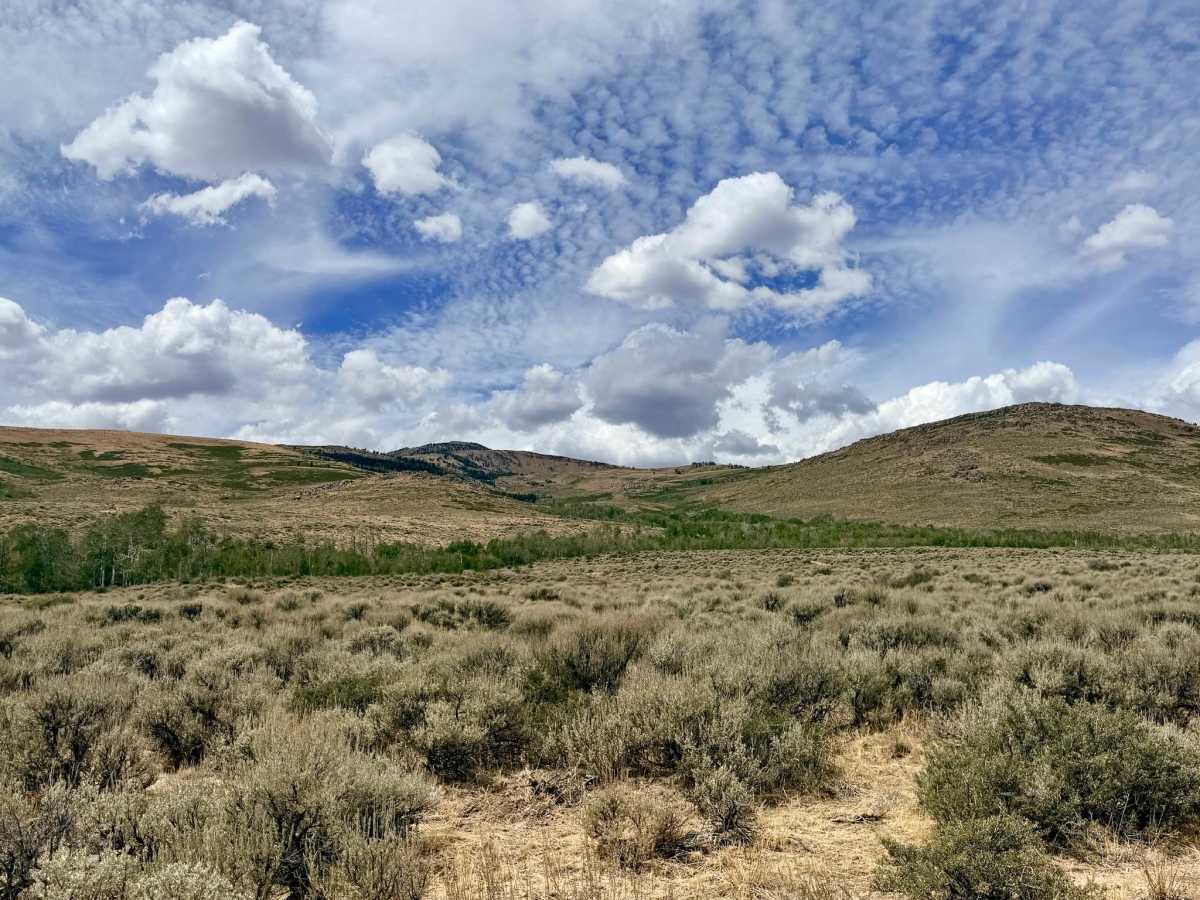
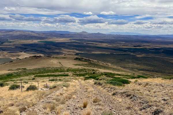
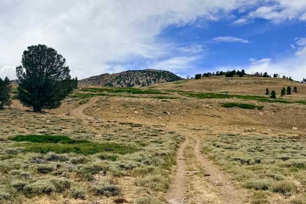
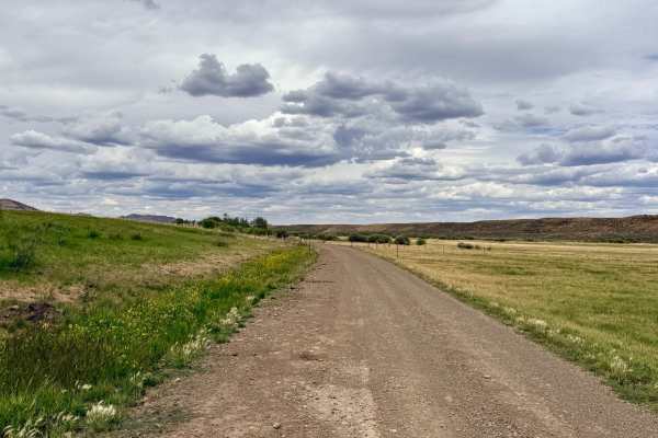
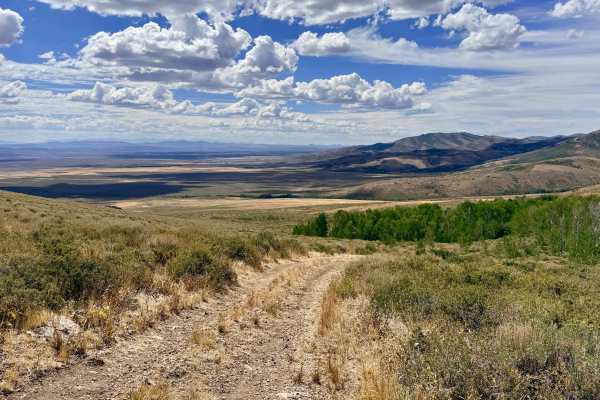
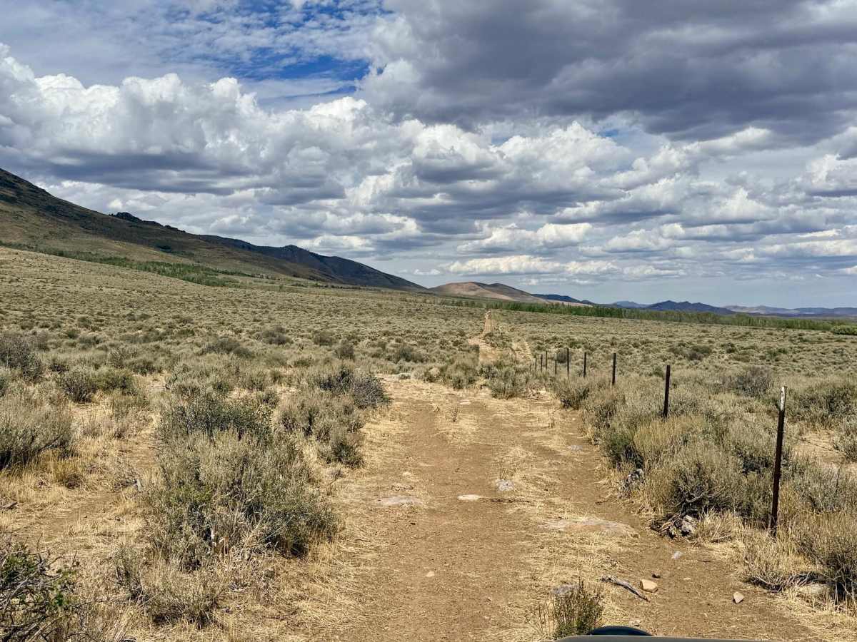
South Dell functions primarily as a straight-shot pole-line road, serving as the most direct, though certainly not the fastest, route across the valley. The trail connects Dell Creek to the area's main entrance trail, winding through open meadows and scenic Aspen groves. The route features a few easy, straightforward water crossings at Walker Creek and Dell Creek. Visually, the trail is stunning, offering majestic views of towering mountain peaks to the west and a wide-open valley stretching toward distant mountain ranges to the east. Keep a close eye on your tire sidewalls; the relentless rock gardens can shred tires if you are not careful with your line choice. This is an active open-range area, so you will encounter cattle. Always ensure that any cattle gates you open are securely closed behind you. You can expect a few bars of reliable LTE cell service along this route.

Photos of South Dell - FS 16262

Difficulty

While technically a straightforward route, the rating is elevated due to long, relentless rock gardens. The boulders are not necessarily huge and can be navigated around, but the continuous rocky slag makes for slow going and requires careful tire placement. There are also a couple of small water crossings at creeks.

Technical Rating

3

South Dell - FS 16262 Trail can be accessed by the following ride types:

  • Single Track
  • 50 Inch
  • 60 Inch
  • High Clearance
  • Full Width

South Dell - FS 16262 Map

The onX Offroad Difference

onX Offroad combines trail photos, descriptions, difficulty ratings, width restrictions, seasonality, and more in a user-friendly interface. Available on all devices, with offline access and full compatibility with CarPlay and Android Auto. Discover what you're missing today!

Open Trail Map