Trail Overview
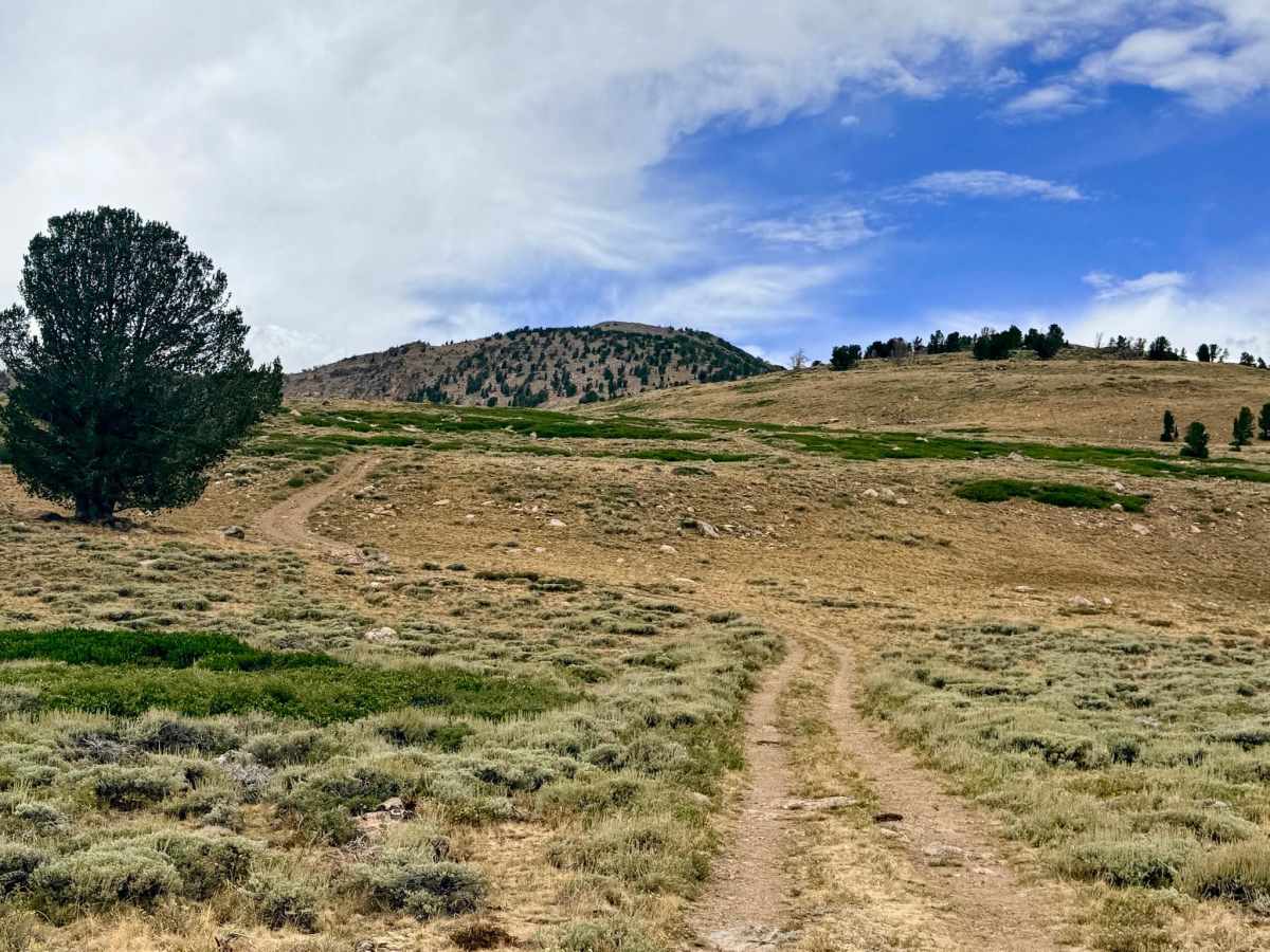
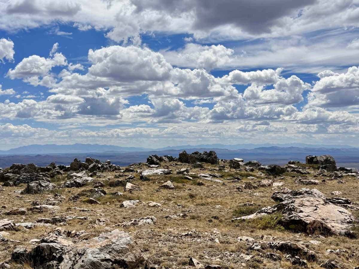
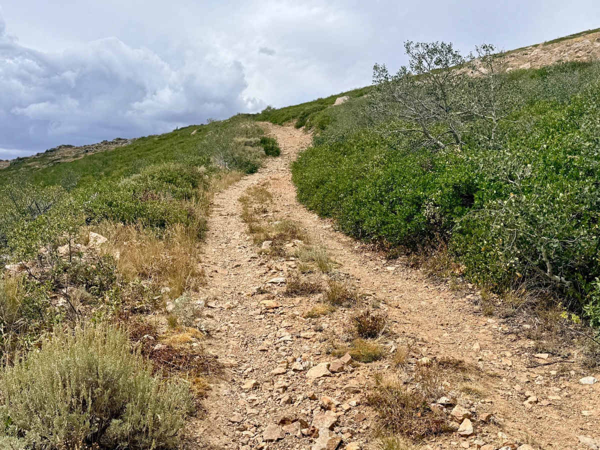
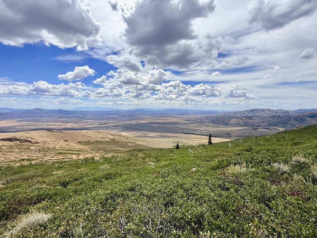
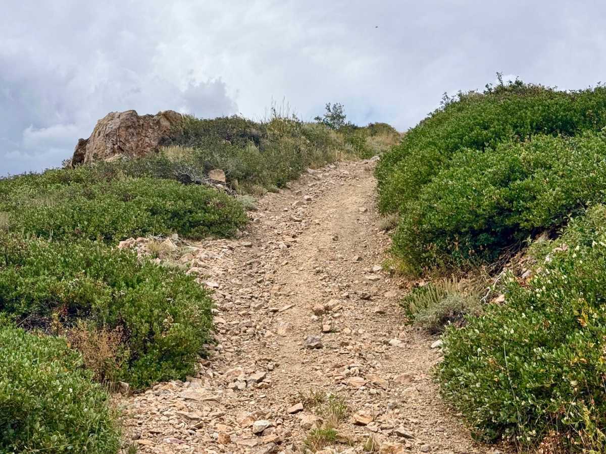
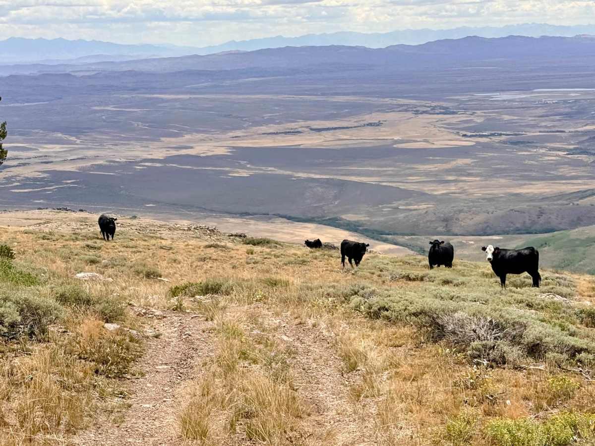
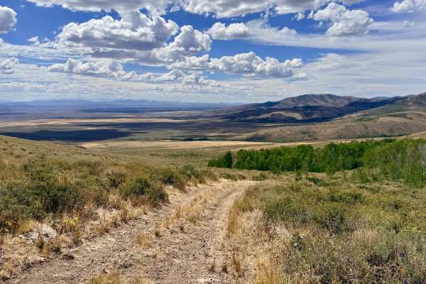
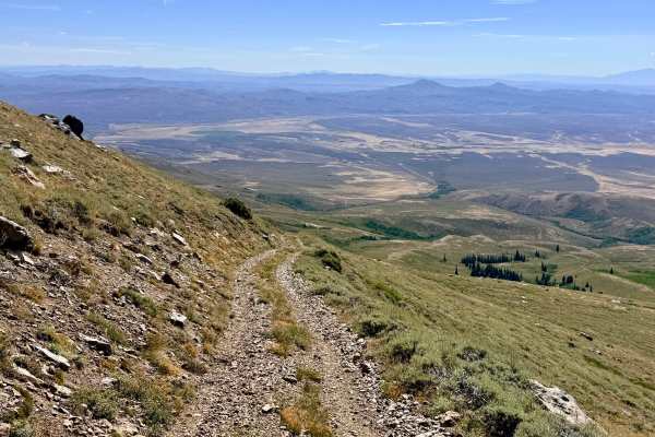
Picking up exactly where the North Fork Pratt Extension ends, the Jeanette Trail continues as a steep ascent into the high country. The route winds through dense groves of baby Aspen trees and Manzanita bushes before transitioning into a high-elevation field dotted with fascinating, unique rock formations. The ever-increasing altitude provides outstanding, continuously shifting views of the valleys below. The trail culminates at approximately 9,400 feet in a sprawling summit meadow with stunning 360-degree views, where the established vehicle tracks eventually fade into the landscape. It represents a beautiful, isolated pocket of the mountain range with an entirely different feel from the neighboring trails. The meadow at the top is an exceptional spot for dispersed camping for those comfortable with, and acclimated to, sleeping at 9,400 feet. Surprisingly for this region, the trail maintains a couple of bars of reliable LTE cell service all the way to the top. Exercise extreme caution when driving or parking in the upper meadow where the tracks fade. There are random, sharp pieces of metal debris sticking out of the ground hidden in the grass, which pose a severe puncture hazard to tires.
Difficulty
Features long, sustained sections of loose, rocky hill climbs requiring drivers to navigate around boulders situated mid-incline. The entire route is heavily rock-strewn, demanding careful tire placement to protect sidewalls from sharp, jagged rocks.