Trail Overview
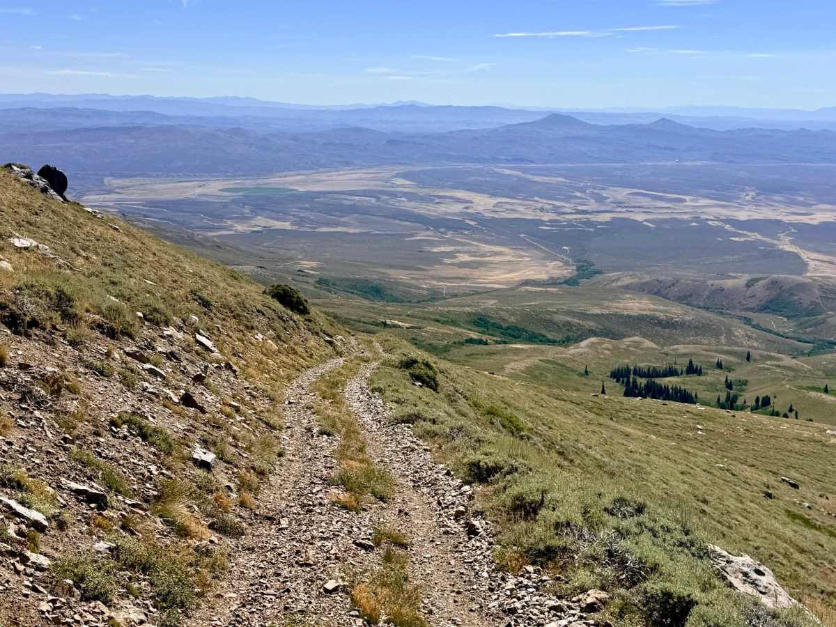
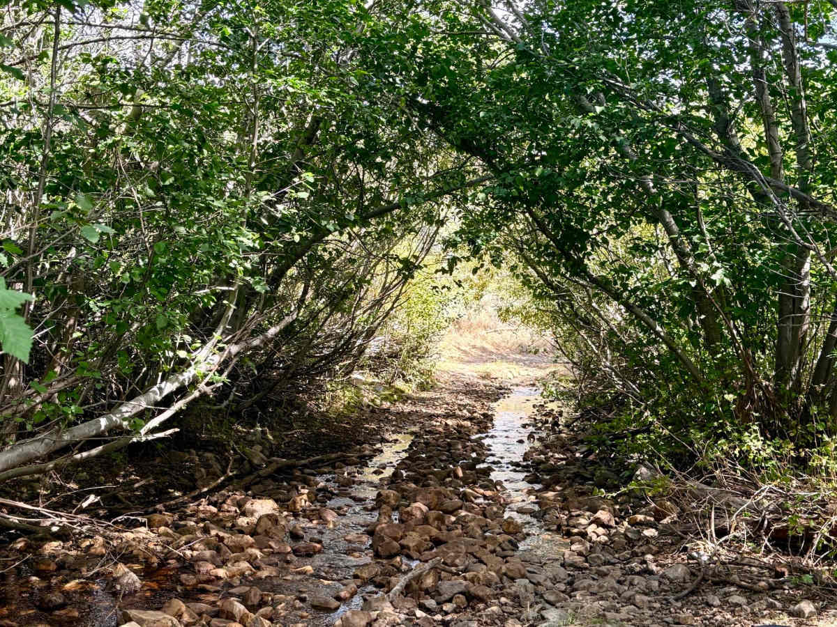
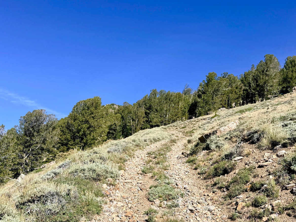
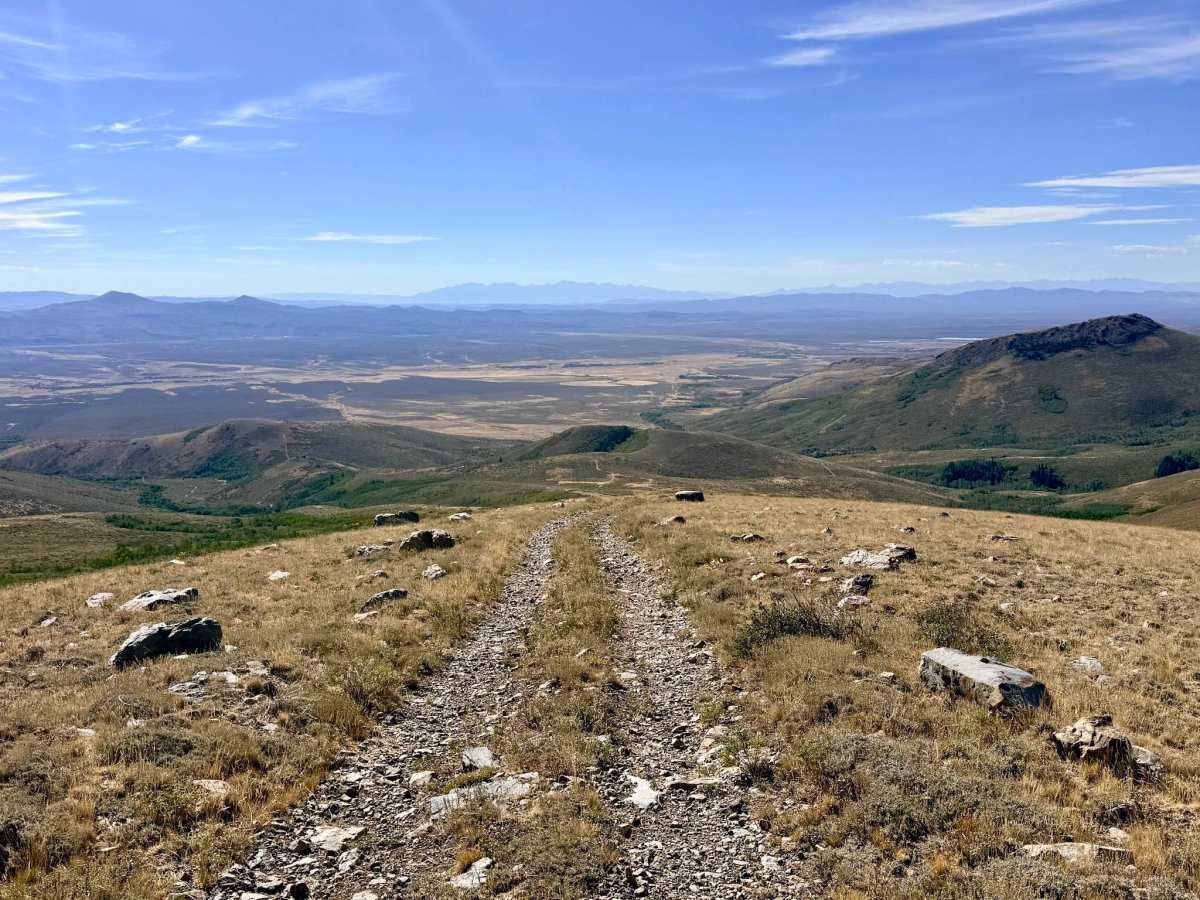
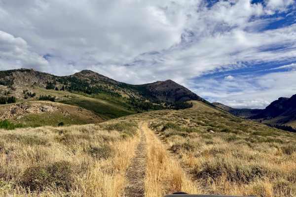
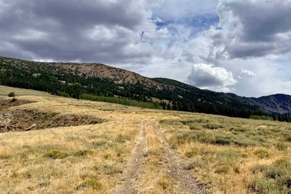
Boasting hands-down some of the best panoramic views in the Independence Range, this trail climbs aggressively to the top of McCarthy Ridge, just below McCarthy Peak (approaching 10,000 feet in elevation). The lower section of the trail crisscrosses Pratt Creek, offering unique and highly enjoyable stretches where you drive directly in the creek bed itself. As you leave the water and climb the steep, rocky switchbacks, you are ultimately rewarded at the summit (marked by a large communications array) with stunning 360-degree views stretching north and south along the mountain range and across the surrounding valleys. This route also serves as a gateway to a larger network of offshoot trails in the area. Turnaround space at the summit by the communications array is highly restricted, accommodating a maximum of two to three rigs at a time. Larger groups should leave vehicles at the lower camping areas and take turns ascending to the peak to turn around. Several dispersed campsites are scattered along the way and near the summit; however, travelers should assess their comfort level and acclimatization before attempting to sleep at 10,000 feet. Cell service is available, with a few bars of LTE near the top and limited connectivity at the bottom of the trail.
Difficulty
The route requires navigating steep, loose shale rock switchbacks with tight turns. Drivers must also bypass medium-sized boulders situated in the middle of the trail and traverse steep shelf road sections with significant drop-offs. Due to the steep shelf roads, this trail is not recommended for anyone with a fear of heights. Additionally, the narrow trees lining the creek sections at the bottom will almost certainly cause paint scratches (pinstriping) to your vehicle.
History
Continuing the theme of the Independence Mountains, this high-altitude route climbs through environments historically navigated by the Western Shoshone and later utilized by Basque sheepherders and ranchers. Today, the prominent communications array at the summit reminds us of modern infrastructure's reliance on these towering, historically isolated peaks to connect the surrounding remote valleys.

 Offroad