Trail Overview
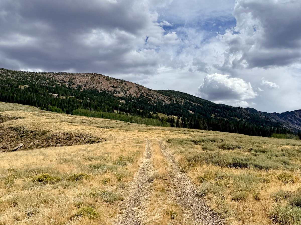
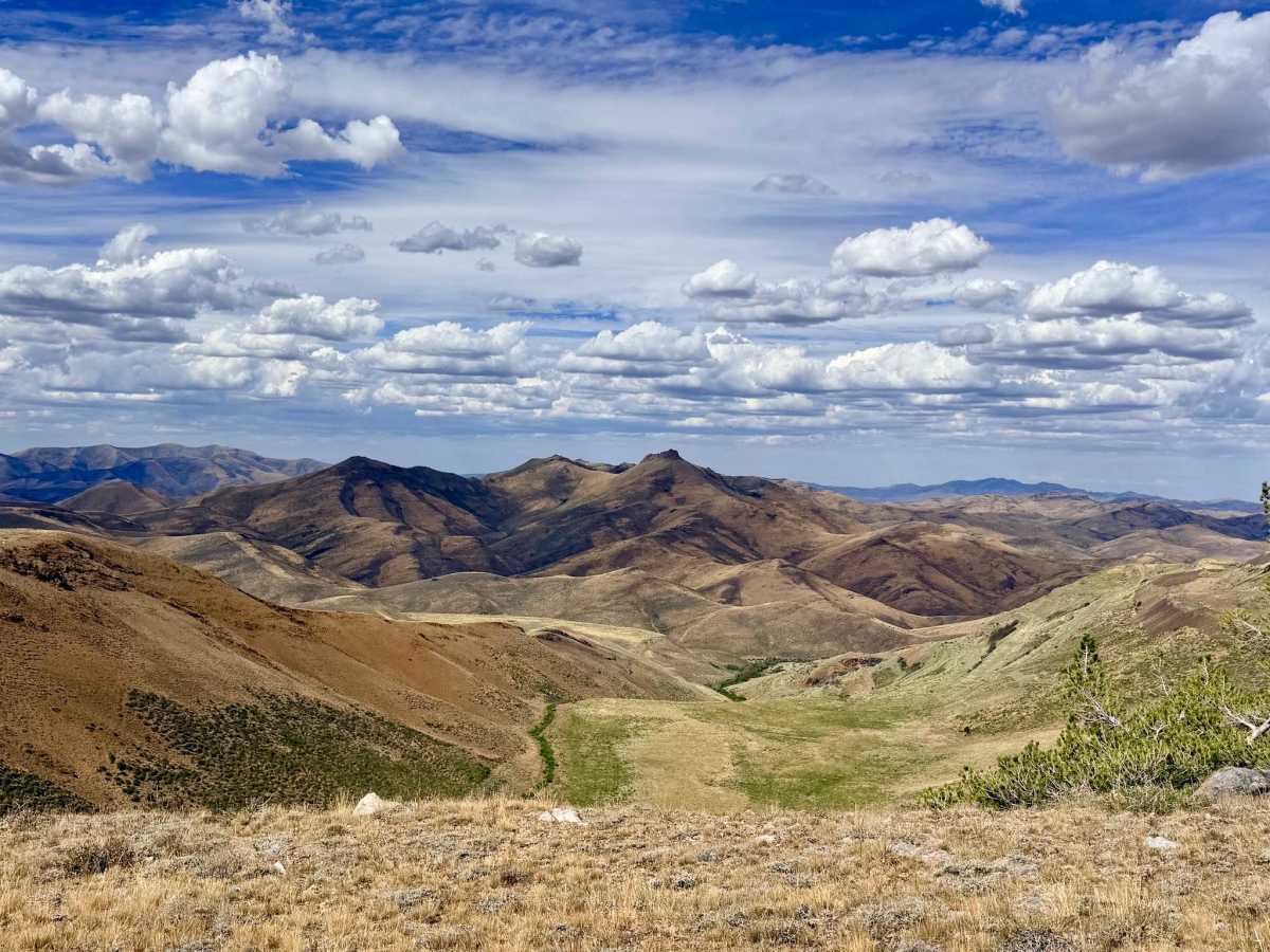
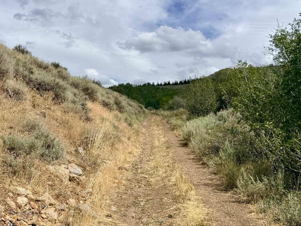
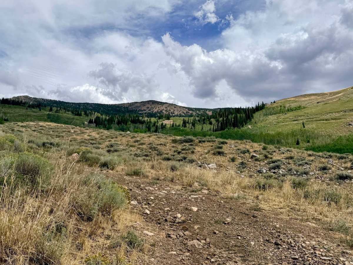
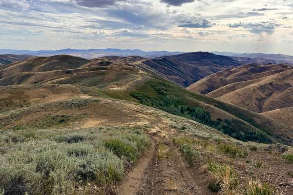
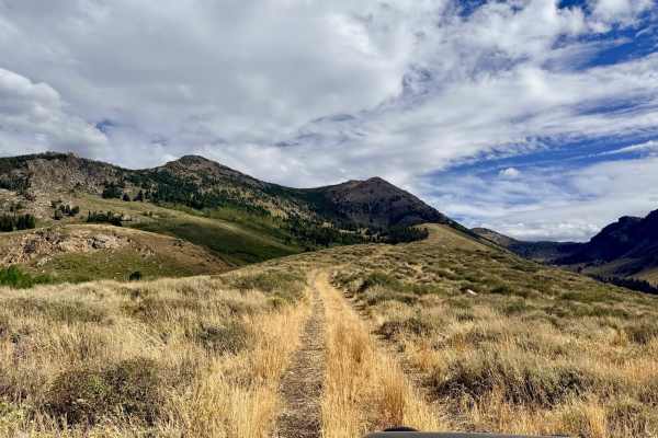
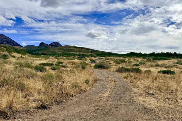
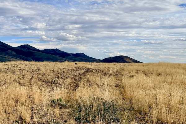
This is a long, steep, and somewhat loose climb that serves as a direct access route from the main lower roads up into the higher hills. The trail spends most of its time winding through grassy fields and low brush. As you work your way up, you are treated to outstanding, panoramic views in almost every direction. The landscape transitions to feature pine forest clusters, rocky hilltops, and eventually a large, beautiful meadow near the top. Several offshoots and spurs along the climb offer additional opportunities for ridge-line exploration. The trail ends at a small turnaround spot right on the tree line, providing excellent access into the trees. There is absolutely no cell service on this trail, so be sure to download any necessary maps or communications before heading up. If you plan to set up camp, the turnaround spot at the top isn't flat enough; however, there are plenty of excellent dispersed camping spots lower down the trail and along the ridgeline spurs.
Difficulty
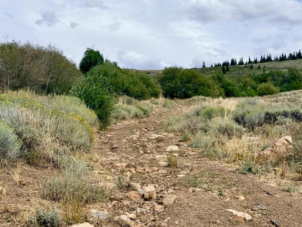
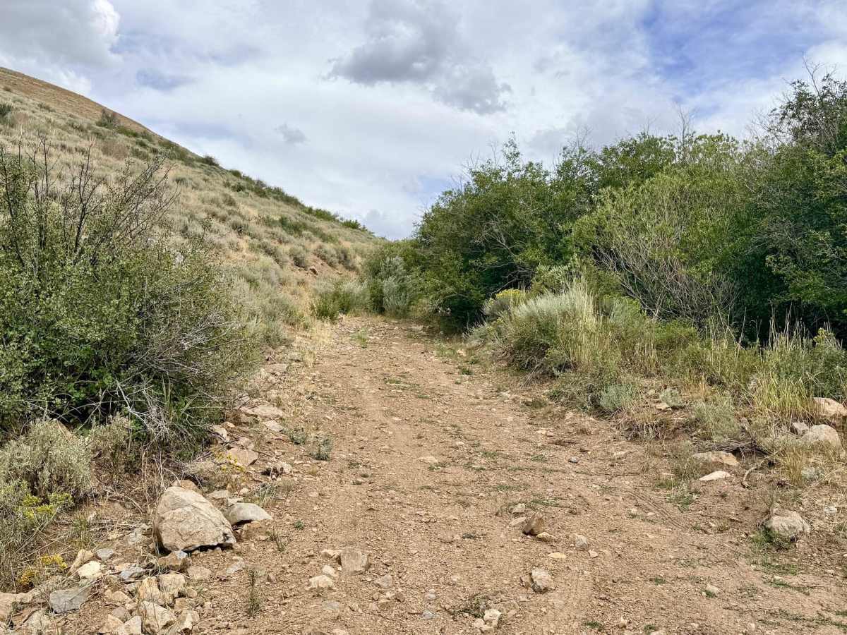
The majority of the trail is a relatively well-packed but steep climb into the hills. It earns a 4 rating specifically for the very end near the summit, which requires navigating around and over large boulders while ascending a steeper section of the hill.

 Offroad