Trail Overview
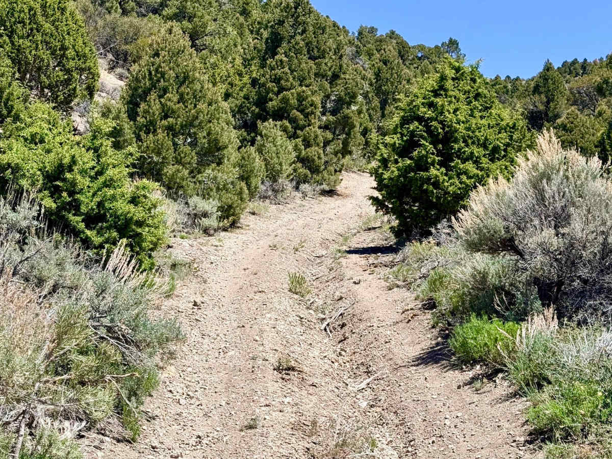
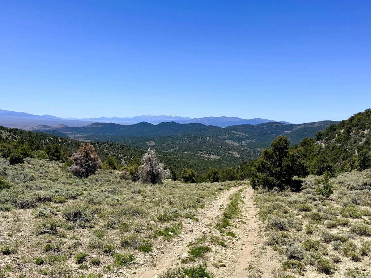
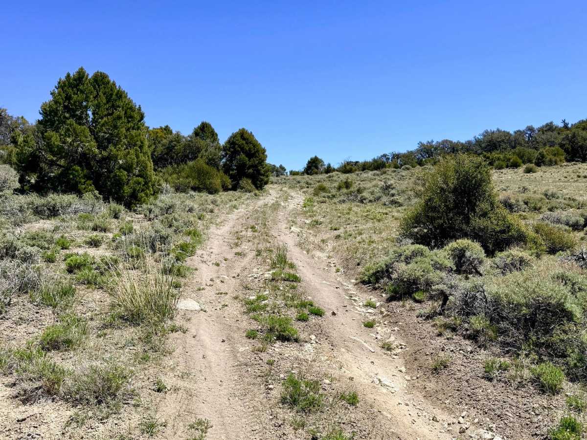
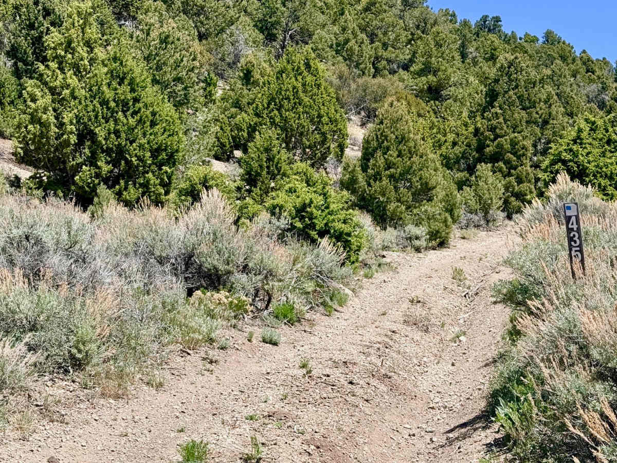
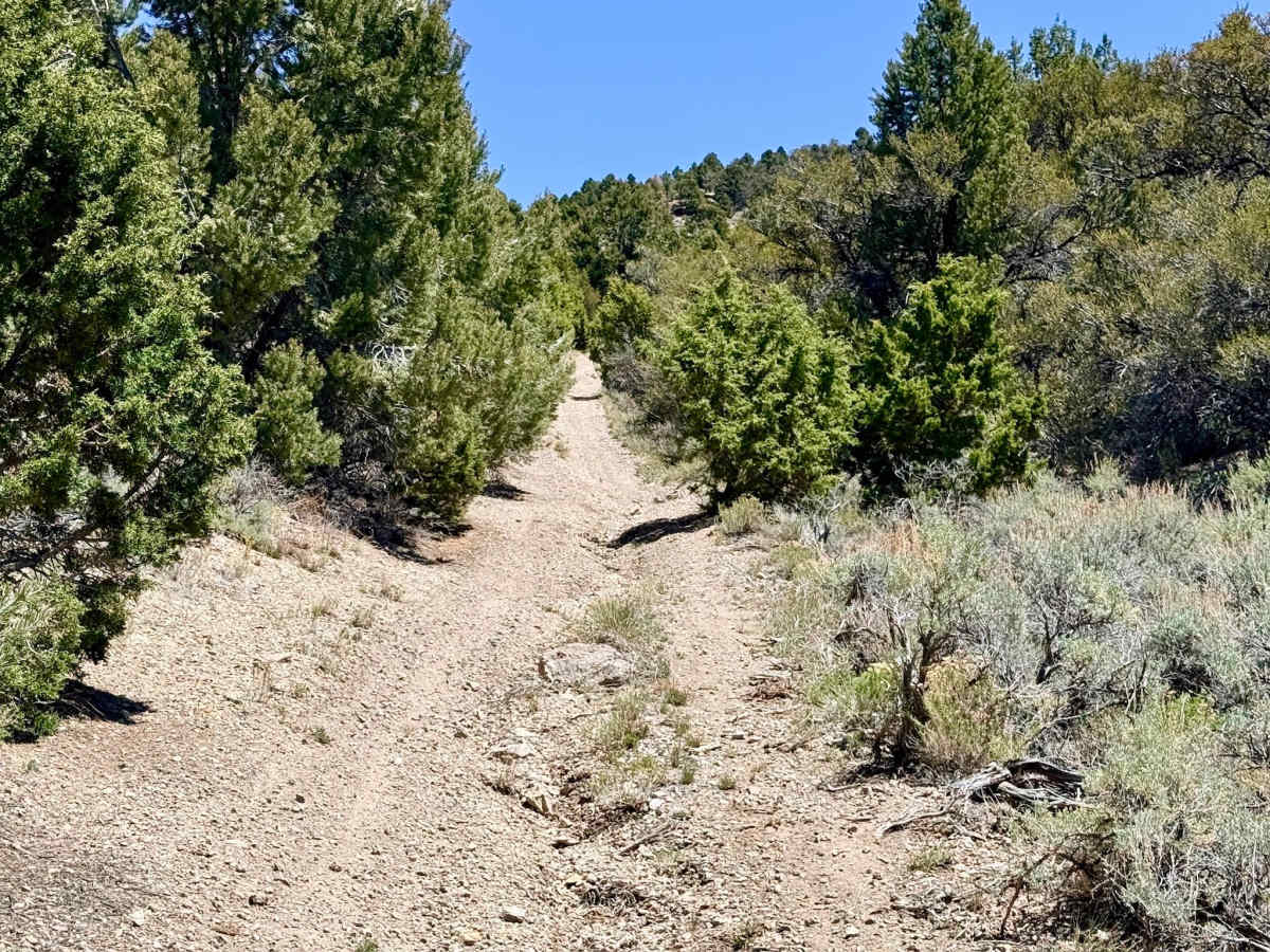
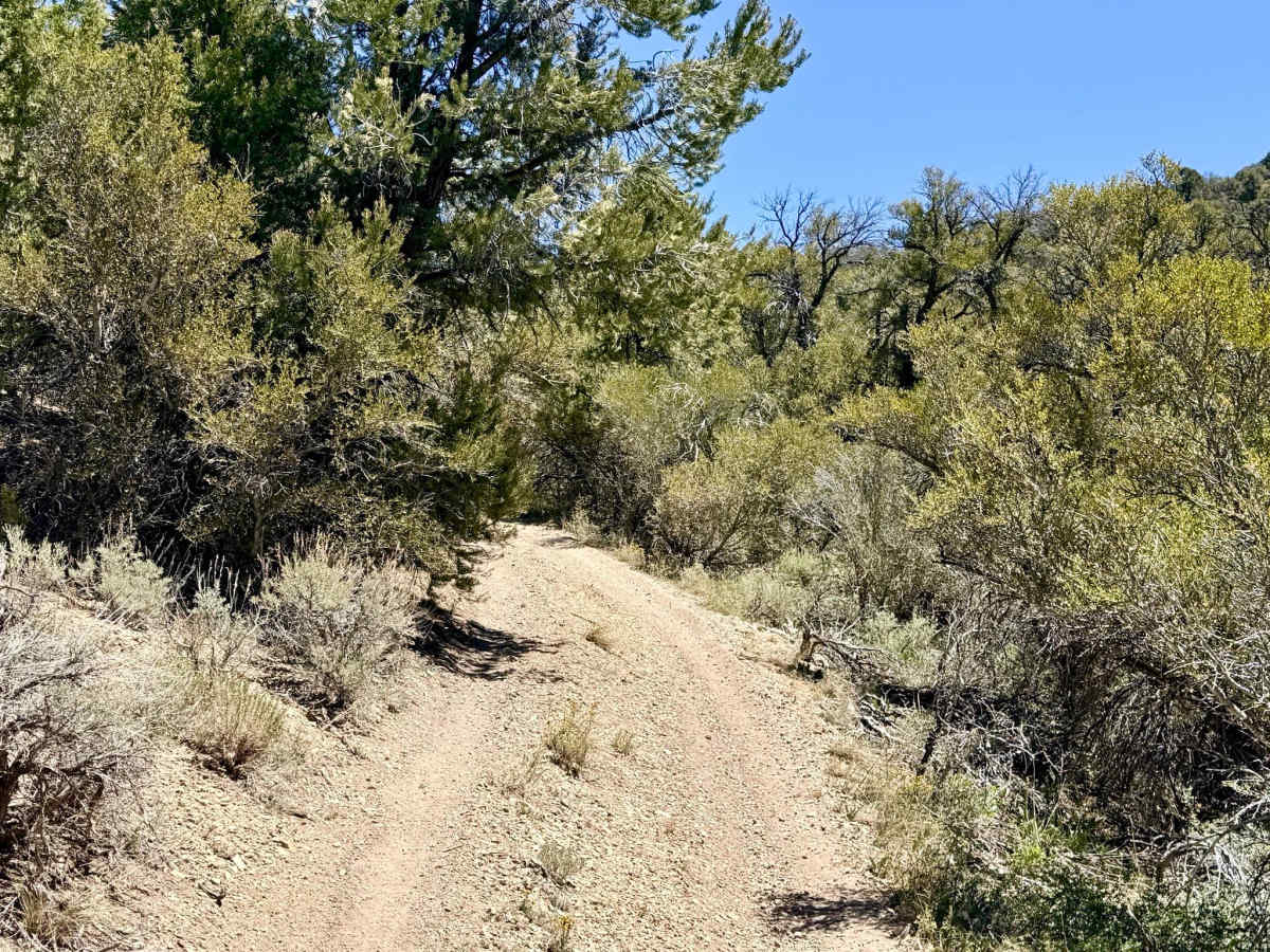
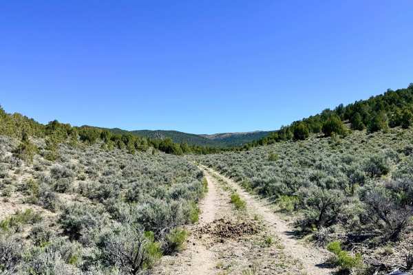
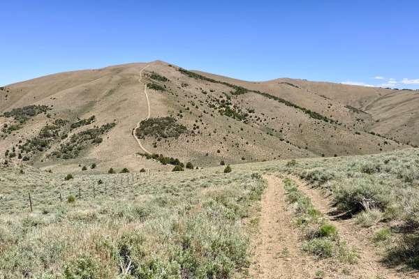
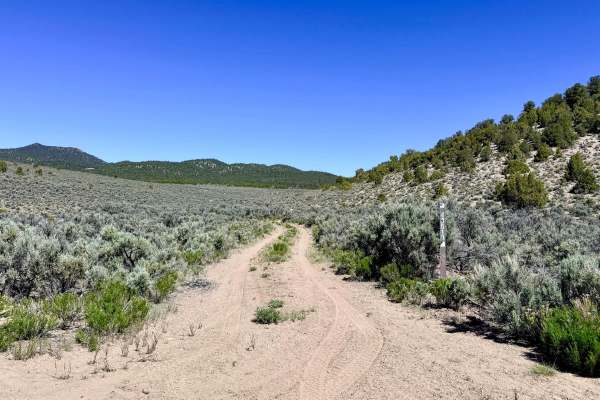
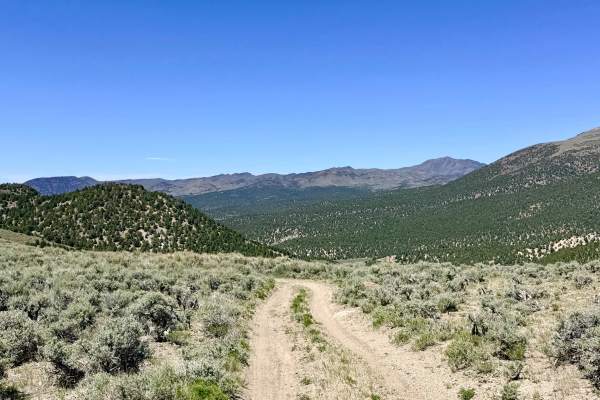
The Upper South Brock Connector is a short, punchy, and relentless technical link. This trail functions as a critical "elevator," providing a direct albeit aggressive connection between the floor of South Brock Canyon and the high-altitude ridgelines of the Charnac Brock system. The environment here is raw and unmaintained, transitioning quickly from the pinyon-juniper forest into the thinner air and wide-open vistas of the upper range. The driving experience is high-intensity from start to finish. The entire route is characterized by a steep, punishing grade covered in loose volcanic gravel and "scree." Compounding the challenge are sustained off-camber tilts. While the climb is grueling, the payoff at the summit is magnificent; you are rewarded with an outstanding, unobstructed view of the sprawling desert valleys far below. Once you reach the top, the trail acts as a tactical hub, allowing you to turn either left or right onto Charnac Brock Canyon to explore the rest of this extensive high-mountain network. Expect zero cell service on this connector. The high ridges and deep canyon positioning create a total signal shadow. Download offline maps before leaving the Austin area. Navigation Note: The physical track on the ground deviates significantly from the historic Forest Service line shown on many base maps; stay on the visible two-track to ensure you remain on the safe, navigable path.
Difficulty
Rated a 4 because the entire trail is steep, loose, and off-camber. There are no "easy" segments on this connector. Precise throttle control is mandatory to maintain forward momentum without digging into the loose gravel. If descending this route, use low-range and engine braking. The loose "marbles" on the steep grade can make braking difficult, potentially leading to a slide on the off-camber sections.

 Offroad