Trail Overview
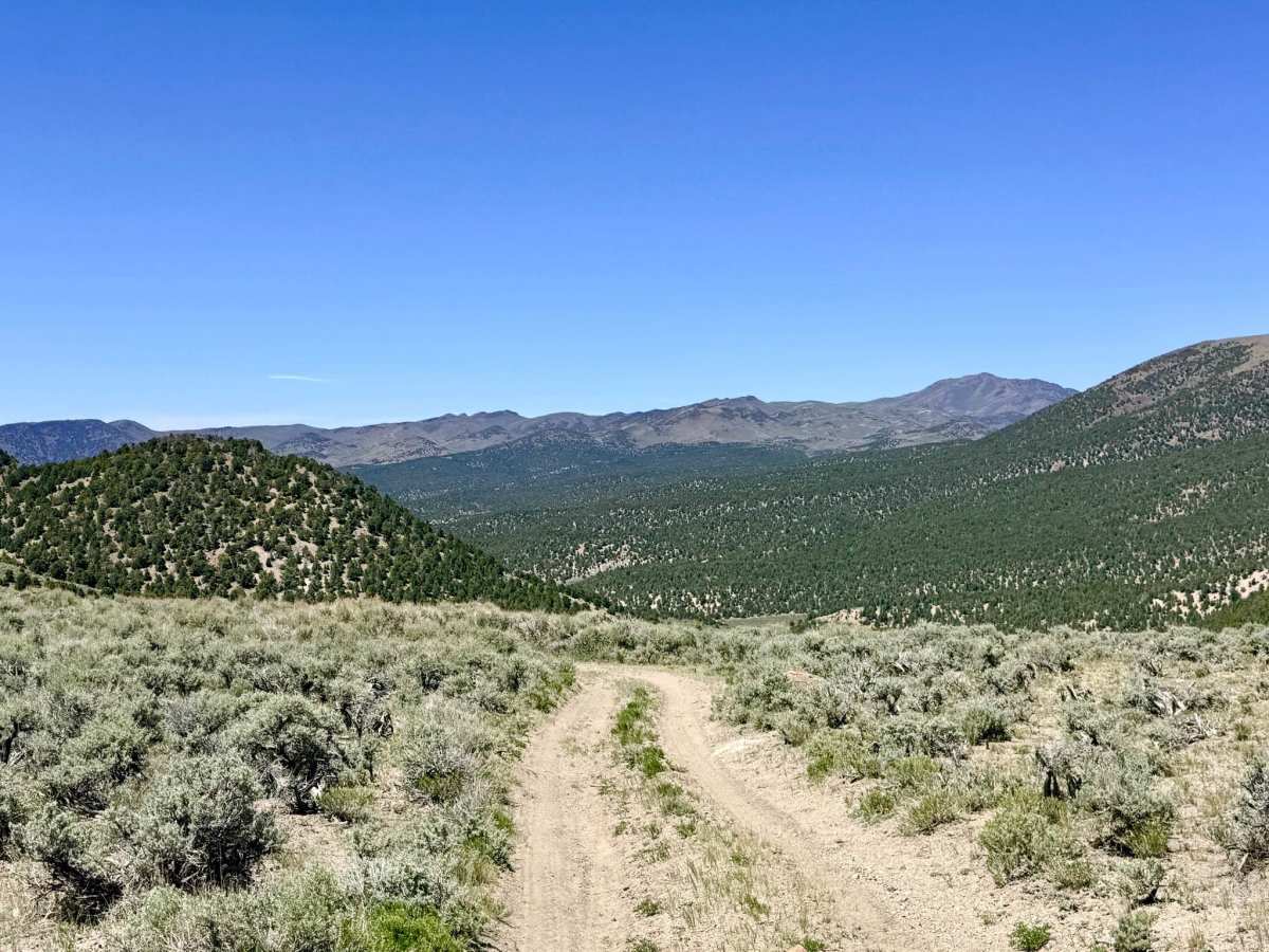
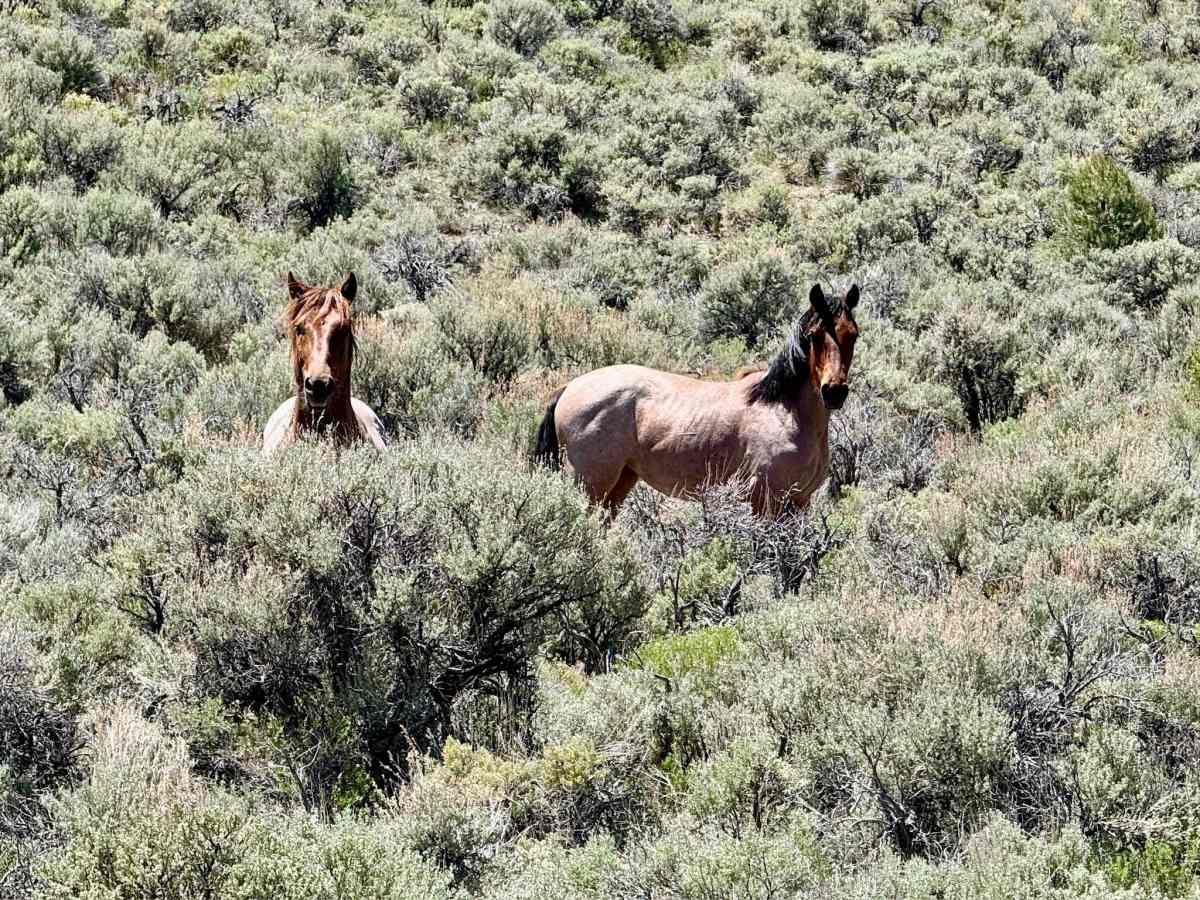
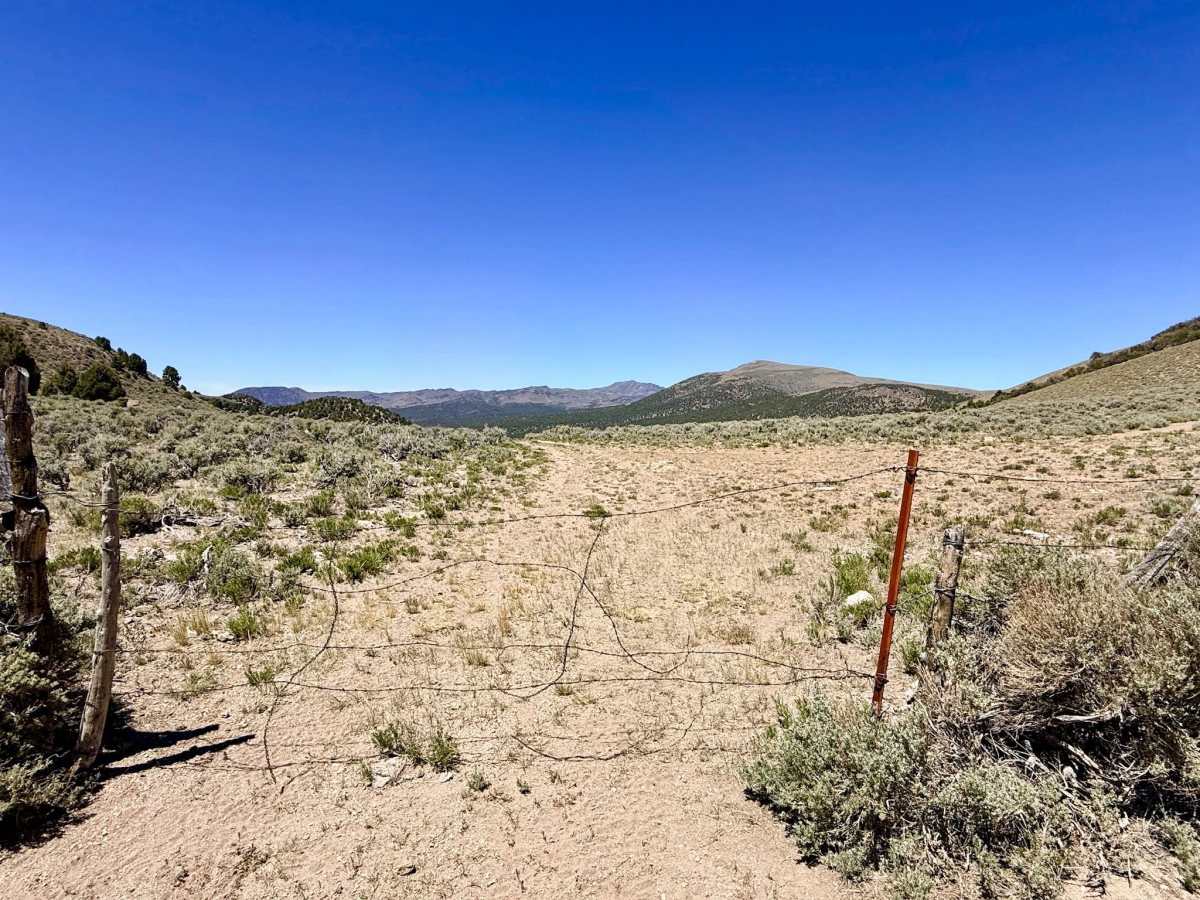
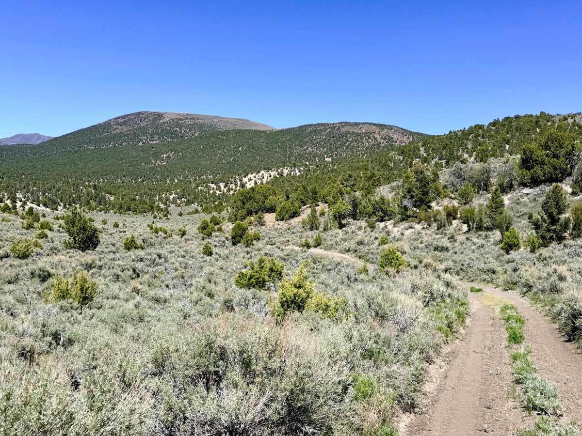
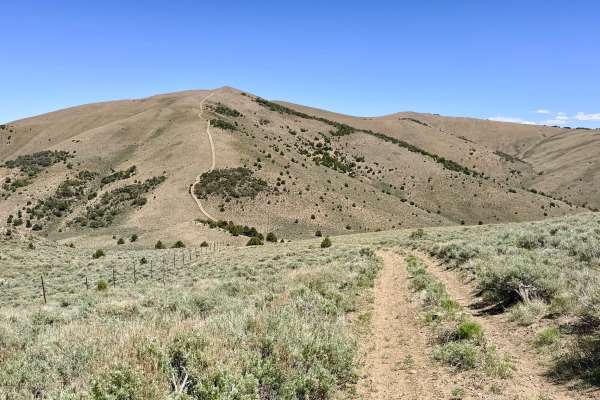
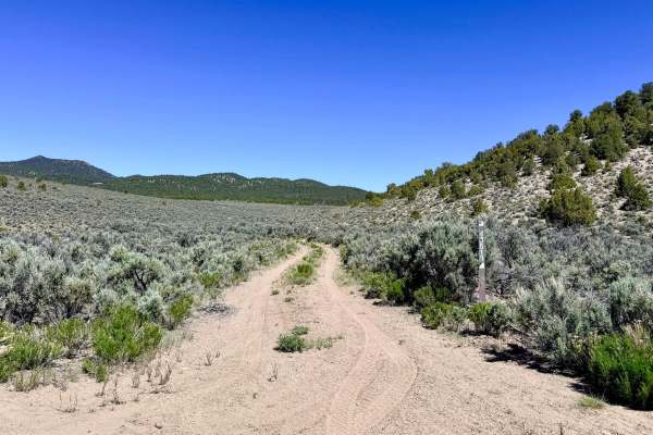
Brock Canyon is a strategic and highly scenic connector trail that serves as the primary link for creating high-altitude loops with the Charnac Brock system. The northern segment of the trail is a visual standout, winding through a vibrant "green canyon" fueled by a natural spring at the top. This riparian corridor is a magnet for high-desert wildlife, offering excellent opportunities to spot animals as they descend from the ridges for a drink. The trail offers a variety of exploratory offshoots, with numerous branches from the main route. Some of these spurs lead toward secluded vista points with expansive Great Basin views, while others terminate in quiet, flat clearings perfect for a secluded dispersed camp. While much of the trail allows for a steady pace through the sagebrush and mountain mahogany, the driving becomes significantly more focused at the southern end. This is a premier corridor for observing Nevada’s wild mustangs, which frequently utilize the canyon’s water sources. This is active open-range territory. You are likely to encounter cattle gates on this route; please leave all gates exactly as you found them (closed means closed) to assist with local livestock management. Expect zero cell service for the duration of this trail. The canyon walls and high ridges create a total signal dead zone. Download offline maps before leaving the Austin area.
Difficulty
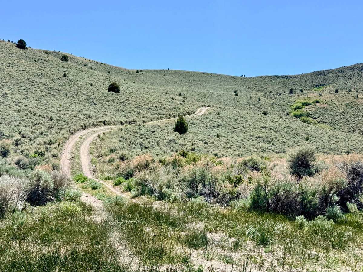
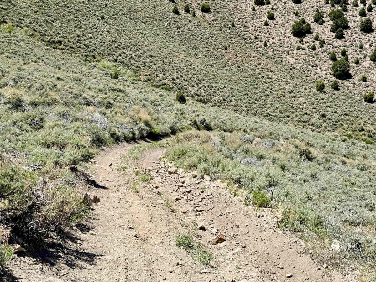
Rated a 3 primarily for the southernmost segment. This section features a steep, loose hill climb characterized by sustained off-camber tilts and established ruts. Maintaining steady momentum and a precise line is necessary to clear the technical ascent safely.
History
The "Brock" name is a pillar of 19th-century pioneer history in the Reese River district. Like many canyons in this range, Brock Canyon was first "located" for its water rather than its minerals. The spring in the northern section was a vital asset for early ranchers who moved their herds between the valley floors and these high-altitude pastures.