Trail Overview
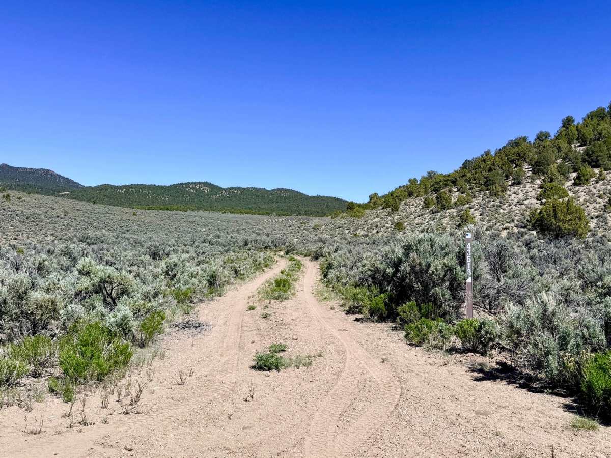
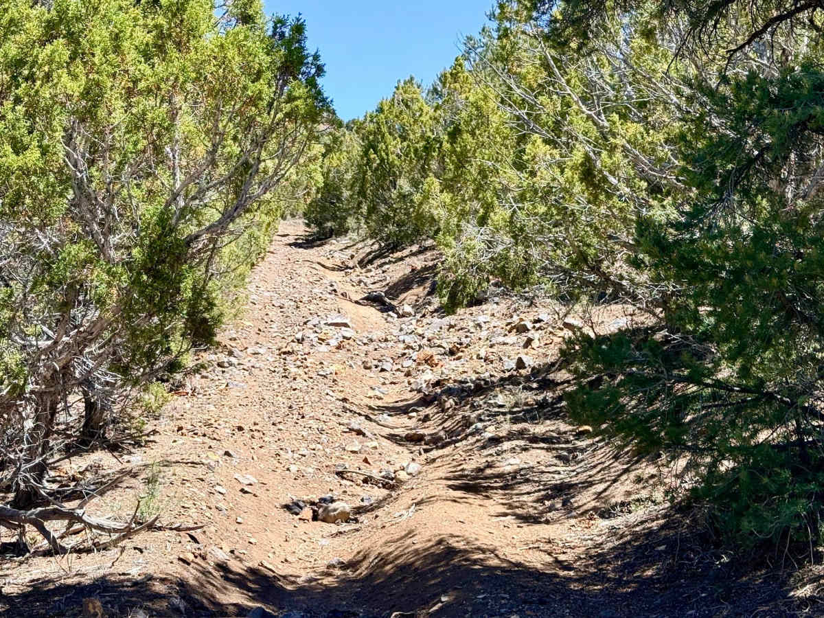
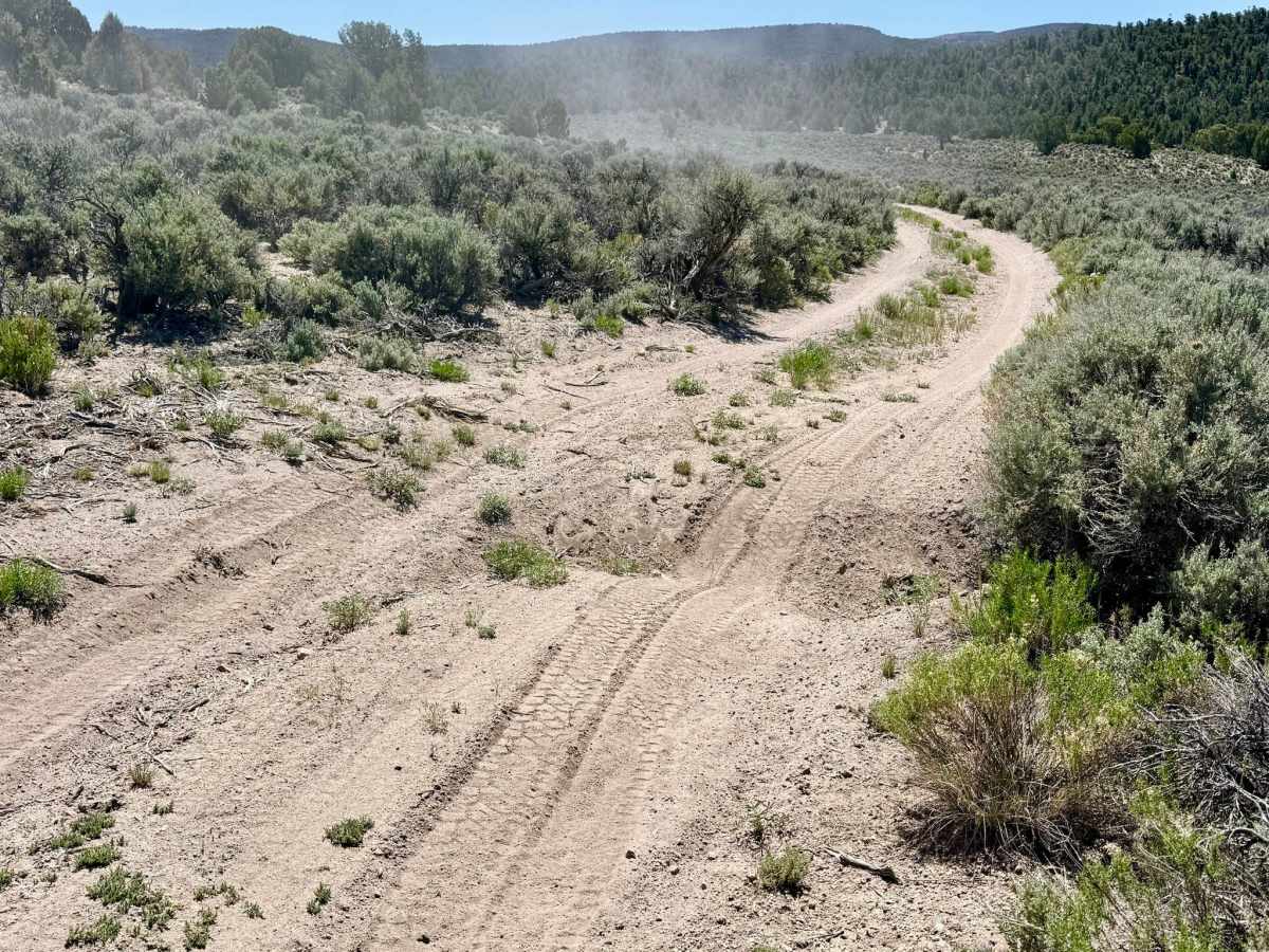
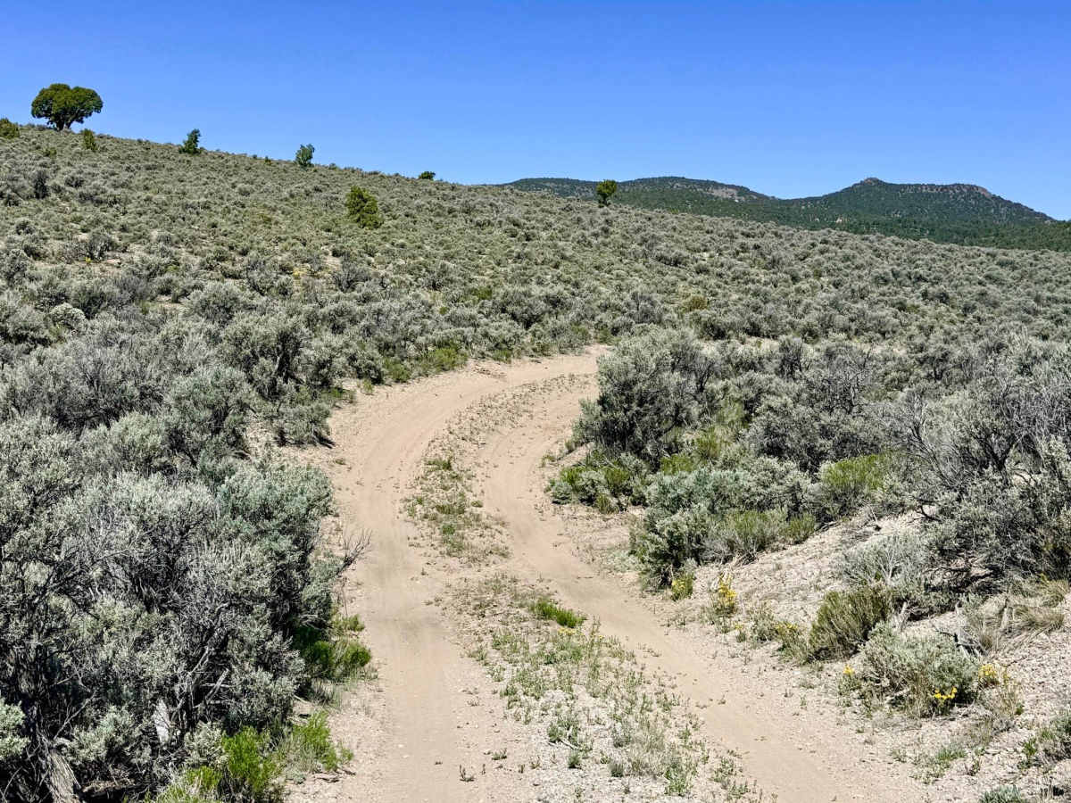
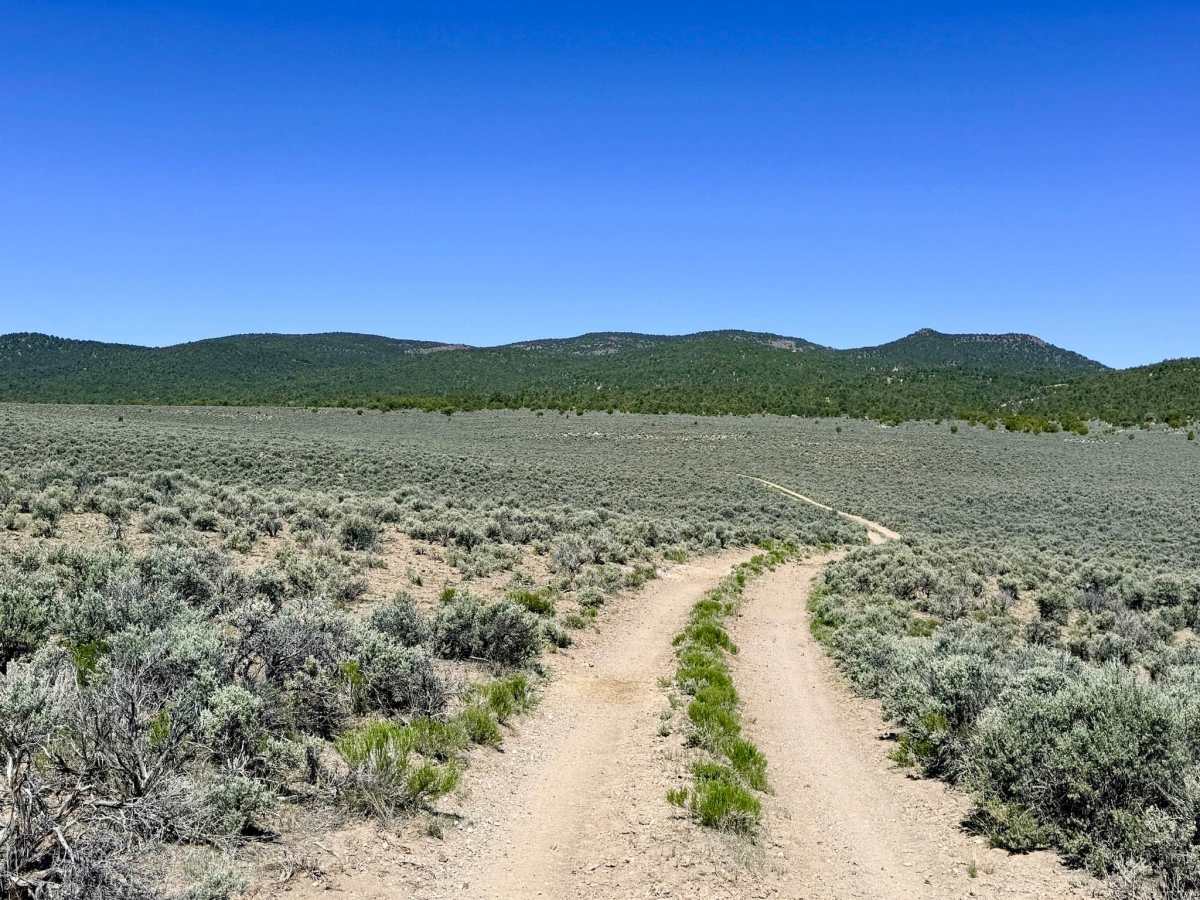
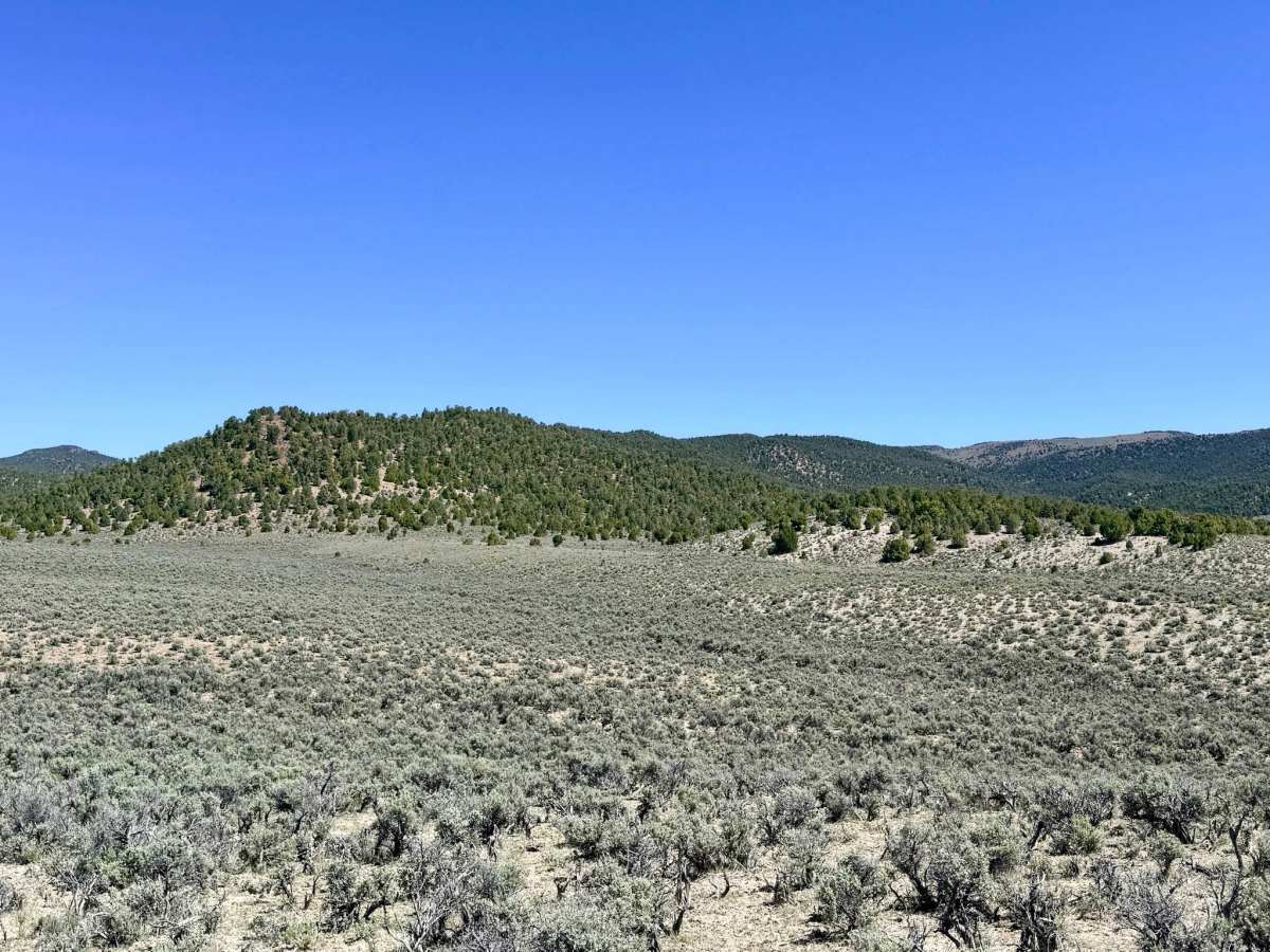
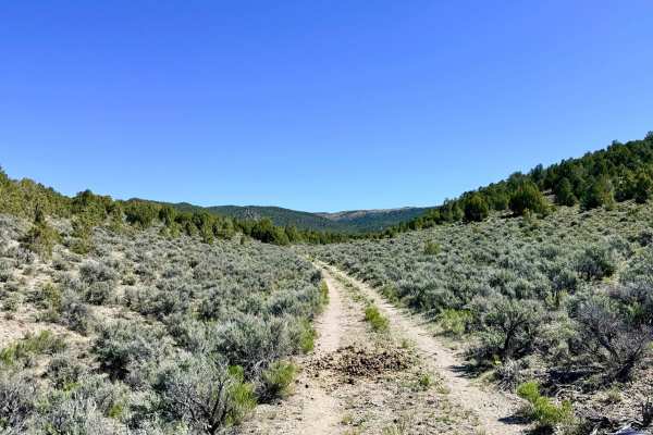
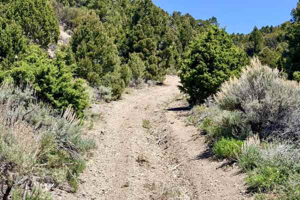
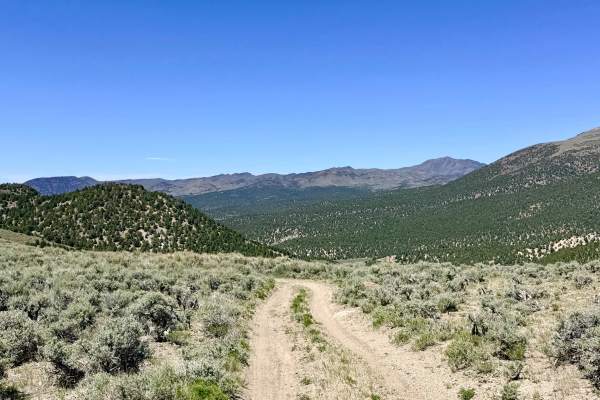
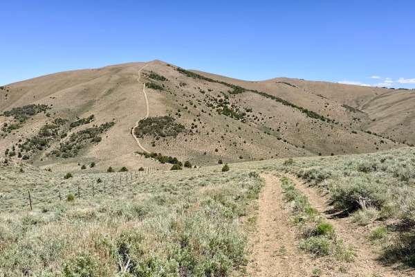
South Brock Canyon is a spirited and physically demanding trail that carries explorers through the technical folds of the Toiyabe Range. This route offers a series of dramatic vistas that capture the expansive scale of the Great Basin. The journey transitions from open sagebrush flats into tight, intimate corridors of dense Utah Juniper and Pinyon Pine. This area is a stronghold for Nevada’s wild mustangs; the trail is heavily marked with their presence, providing a constant sense of traveling through a living, wild landscape. The driving experience is high-intensity and requires constant focus. Expect a series of technical challenges, including deep, lopsided ruts and sustained off-camber segments that will test your vehicle's articulation and your ability to choose a precise line. The trail is punctuated by deep washouts and occasional rock gardens that demand high ground clearance. Scattered along the route are a few high-quality, secluded dispersed campsites marked by weathered rock fire rings. Be advised that the final segment of the trail, which appears on maps as a loop, is currently overgrown and impassable for full-size vehicles. This section has seen zero maintenance in recent years and serves as a natural terminus for vehicles, though it remains a fantastic area to explore further on foot or by motorcycle. Expect zero cell service for the duration of this trail. The foothills create a total signal shadow. Download offline maps before leaving the Austin area.
Difficulty
Some sections have severe erosion, deep ruts, and technical "rock garden" segments. Traction can be limited on the steep, loose inclines, requiring careful throttle control. The juniper and pine branches frequently crowd the track, making contact unavoidable for any standard-width 4x4. The "loop" at the end is a "ghost trail." Do not attempt to force a full-size vehicle through the brush; instead, use the sharp-angle intersection as your turnaround point.