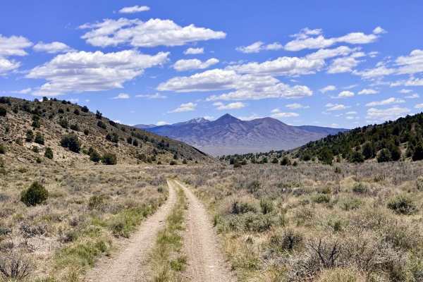
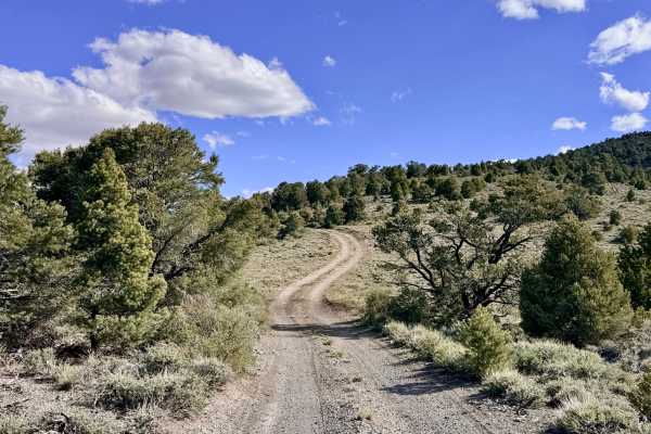
Trail Overview
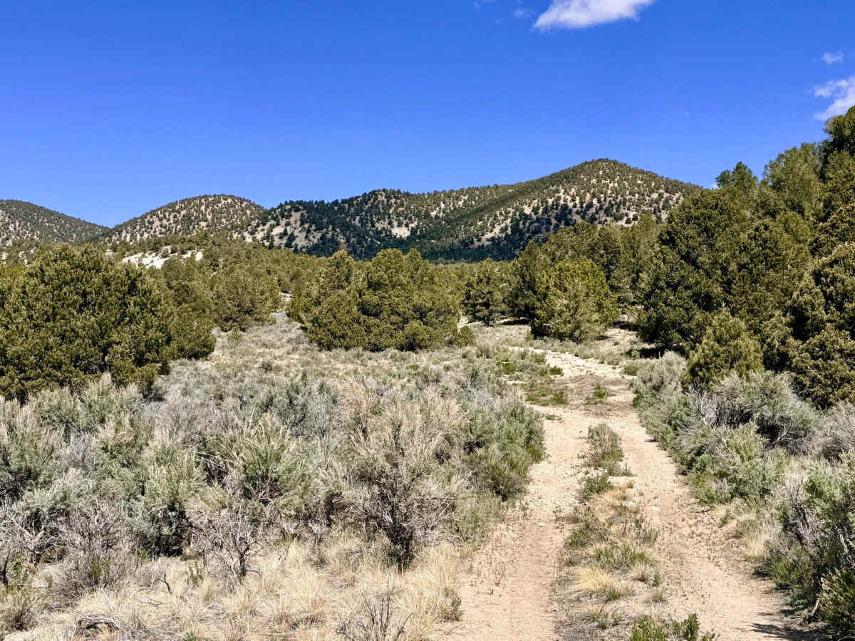
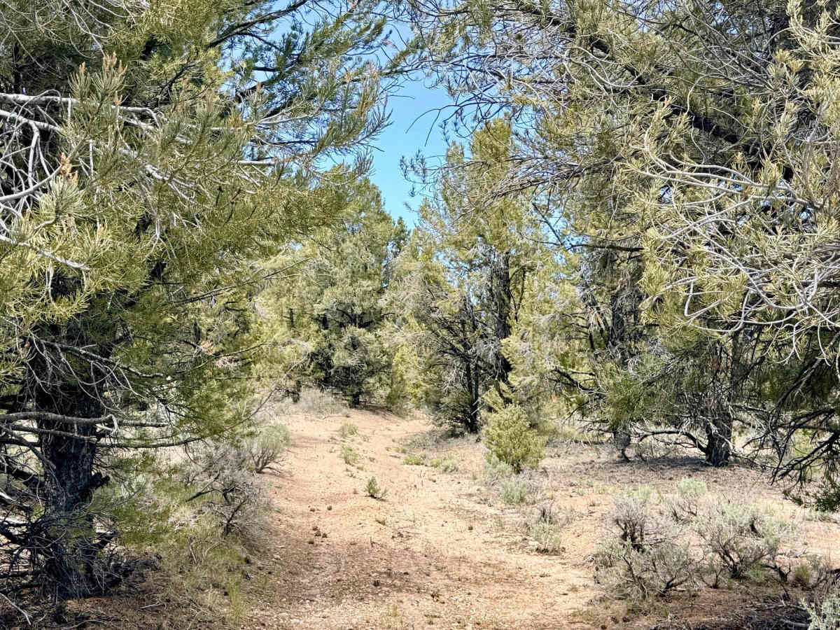
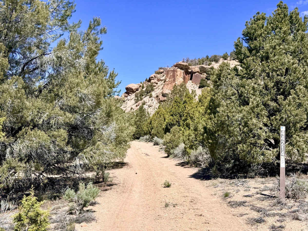
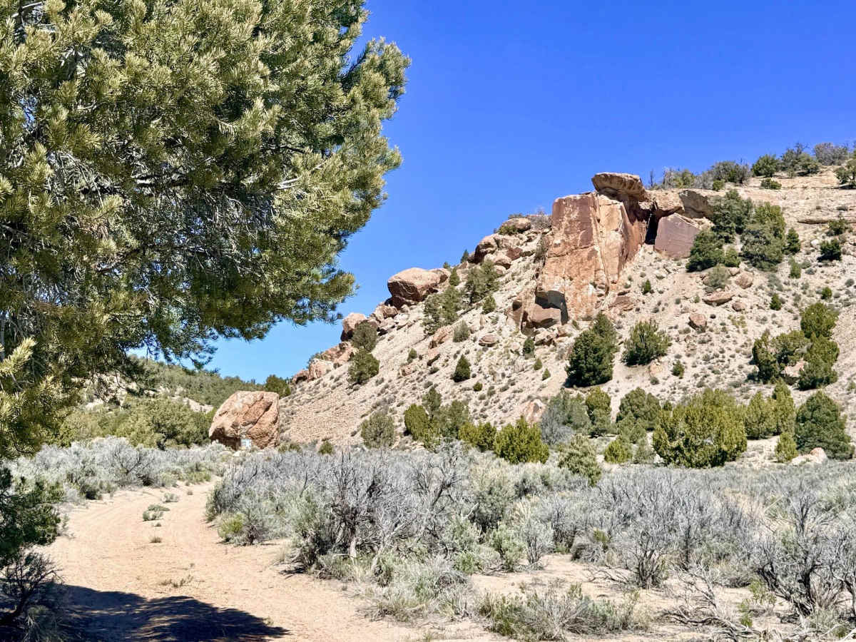
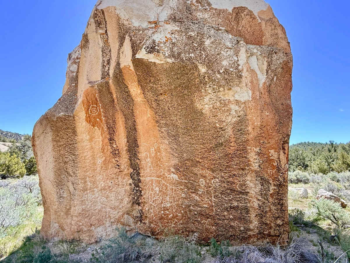
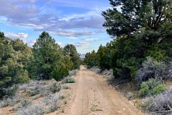
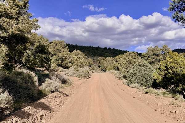
The Upper Bald Mountain Road is a visually stunning and spiritually significant route that carries explorers deep into the rugged Bald Mountain Wash. The absolute highlight of this journey occurs right at the beginning: the Bald Mountain Petroglyphs. This world-class archaeological site features a massive, standalone boulder adorned with intricate Western Shoshone rock art that wraps entirely around its circumference. A small parking area and an official logbook are located here; please take a moment to sign in and pay your respects to this ancient landmark. Beyond the petroglyphs, the trail becomes a narrow "tunnel" of encroaching Pinyon Pine and Utah Juniper, which continually crowds the track. Driving is technical and "lopsided," characterized by long off-camber sections where one side of the road serves as a natural drainage channel. In several areas, this erosion is actively undercutting the main trail, creating precarious spots that require precise tire placement. Full-size vehicles will eventually reach a small clearing that serves as a mandatory turnaround point; from here, the track is so overgrown that it is best explored on a motorcycle, ATV, or on foot.
Expect zero cell service for the duration of this trail. The high ridges of Bald Mountain block all signals. Download offline maps before entering the wash.
Difficulty
Rated a 3 due to sustained off-camber sections and steep wash transitions. The erosion caused by the drainage in the track makes for a "tippy" driving experience. The pinyon and juniper overgrowth is relentless. Significant paint damage is a near-certainty for any medium-to-full-size vehicle that pushes past the petroglyph site. Not recommended for full-size rigs. The tight turns around ancient trees and the narrow track width are best suited for Jeeps, mid-size trucks, or OHVs.
History
The Bald Mountain area is a living record of human resilience in the Great Basin. The Western Shoshone petroglyphs at the start of the trail suggest that this wash has been a sacred and utilitarian corridor for thousands of years, likely because of the reliable spring located further up the mountain.