Trail Overview
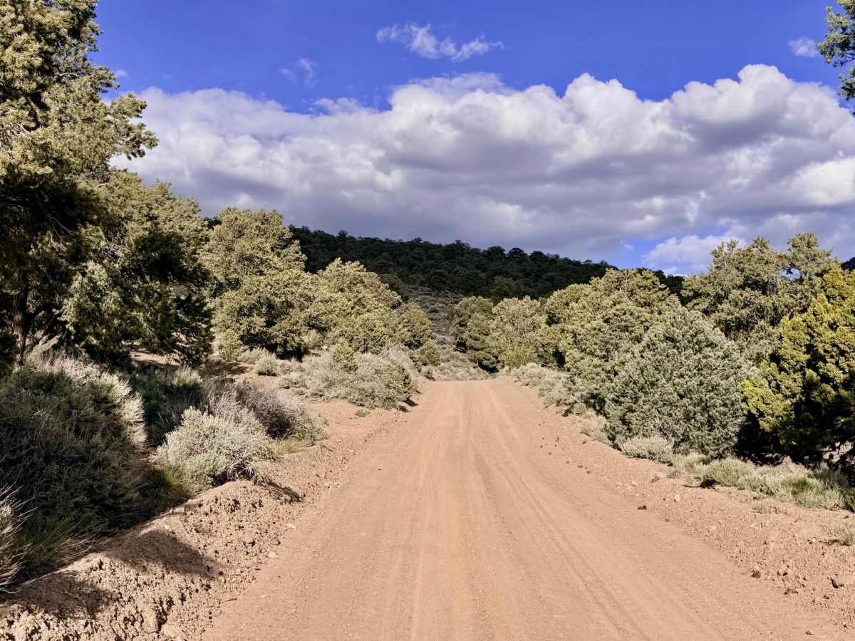
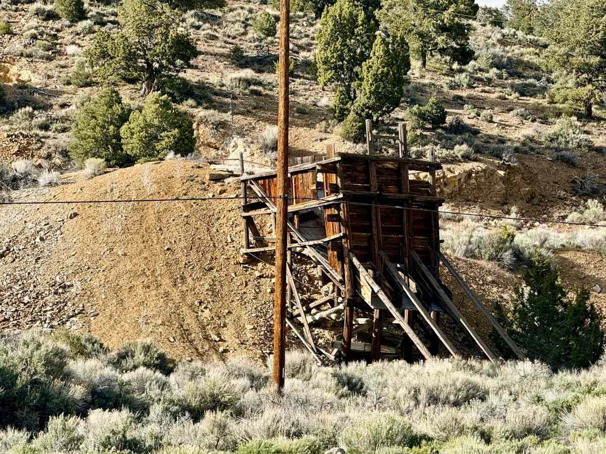
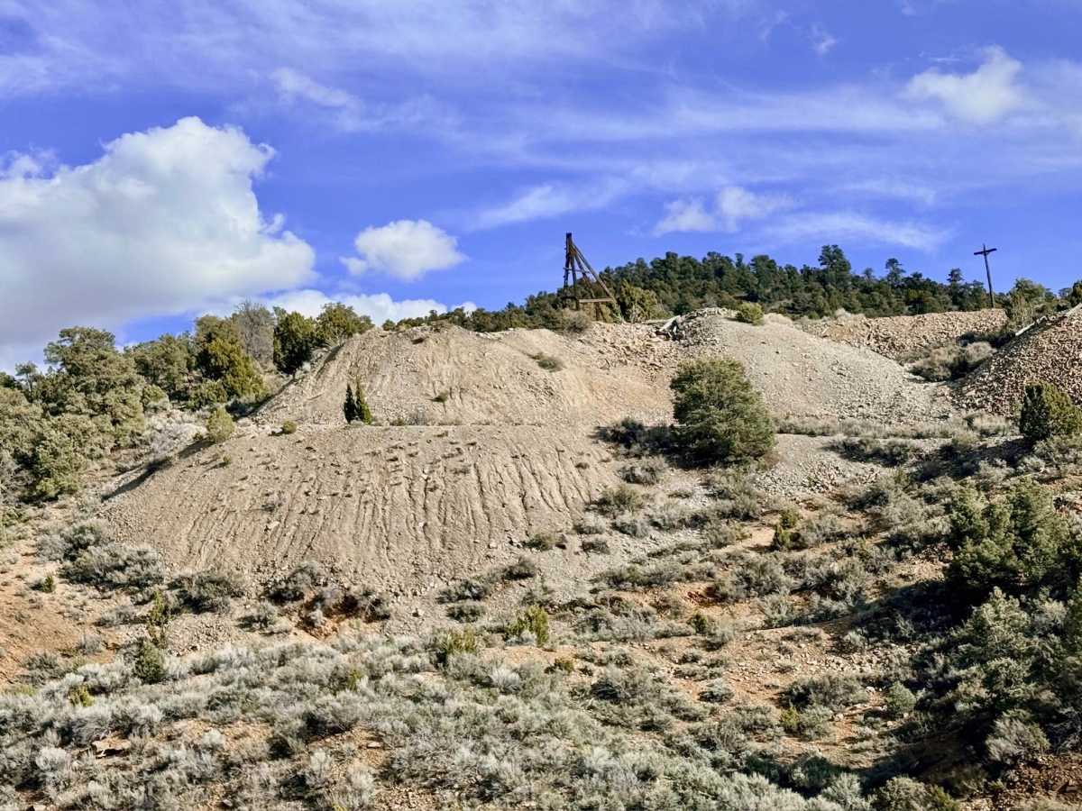
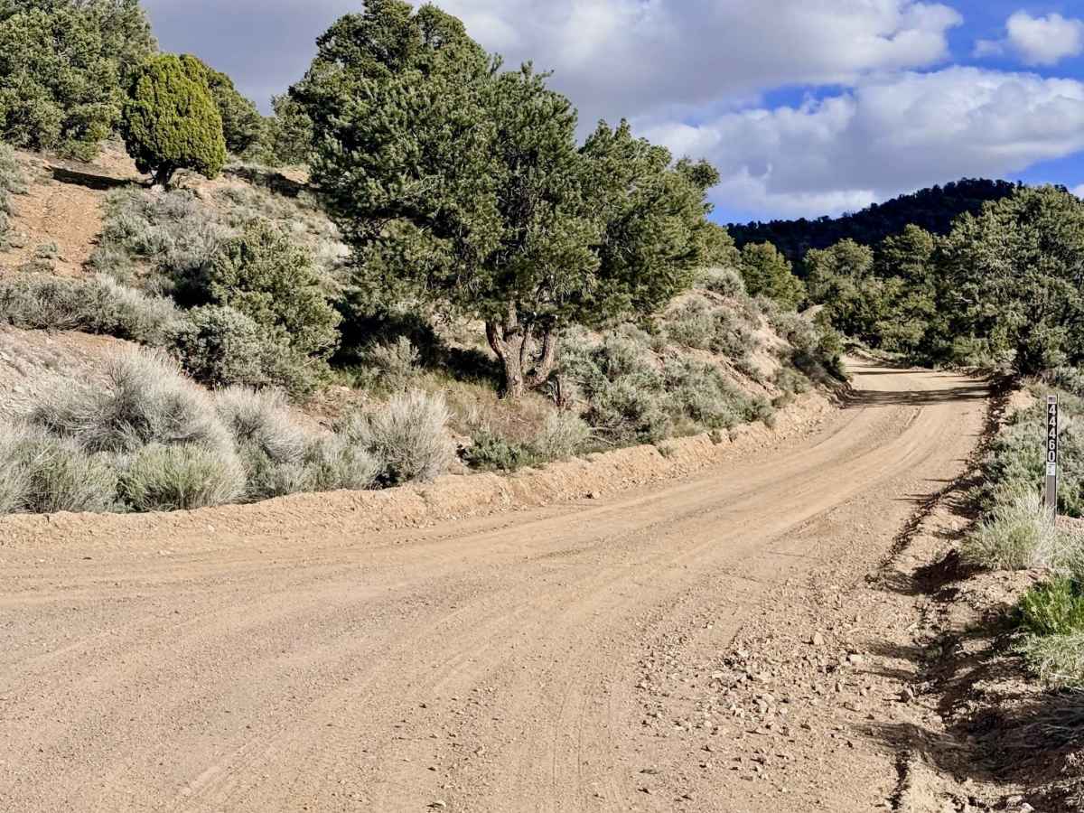
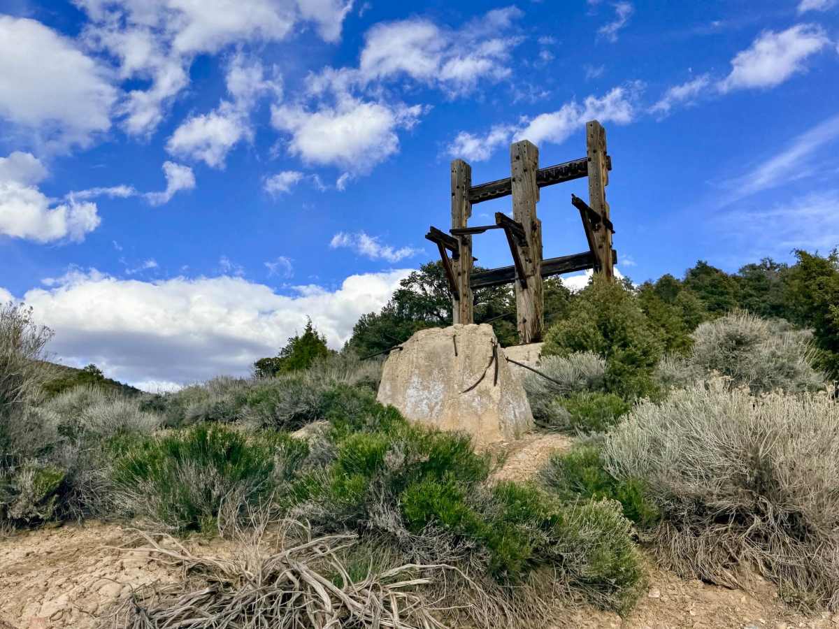
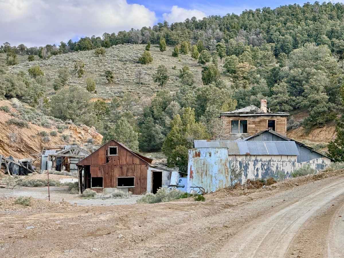
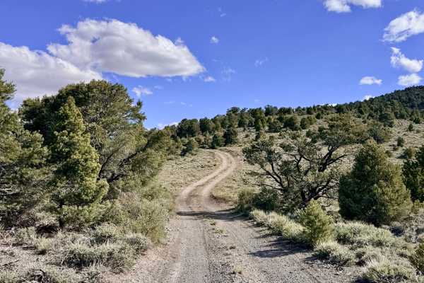
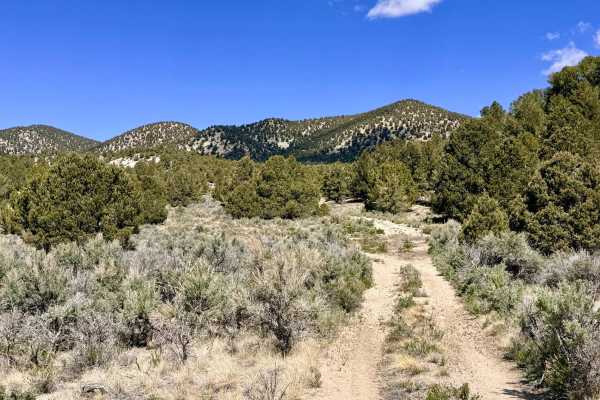
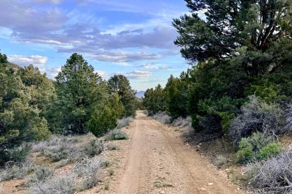
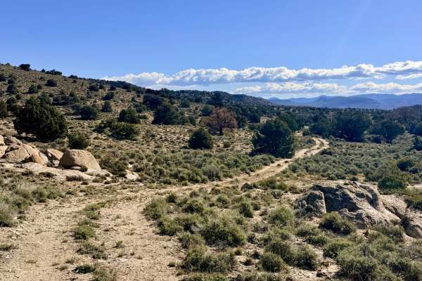
Salisbury Mountain Road offers a fascinating journey that begins right on the western edge of the historic town of Manhattan. The route starts as a well-maintained, nicely graded single-lane road that twists through a landscape defined by Nevada’s industrial heartbeat. As you gain elevation, you will pass a mix of active mining claims and abandoned sites. The most impressive stop along this segment is the White Cap Mine Complex. This site is a marvel of industrial archaeology, featuring several standing wooden buildings and large ore processing facilities that are well worth a careful look from the trail. As the route continues, you’ll pass a unique local landmark, a modern container home surrounded by a collection of vintage automobiles. Please be aware that this is private property with a protective guard dog; maintain a steady, respectful speed and stay on the designated track. Just beyond this residence, the trail crosses from BLM land into the National Forest, and the terrain becomes notably more technical. The road transitions into a rugged two-track, characterized by technical dips, drops, and sustained off-camber sections, as it weaves through dry washes and small creek crossings. The climb culminates at a high-altitude intersection; heading right will lead you toward Spanish Spring (forming a fantastic loop), while heading left leads to a primitive, unmaintained track that eventually disappears into the high-desert overgrowth.
Navigation Note: The left fork at the top of the hill is strictly an ATV, side-by-side, or dirt bike track. It is heavily overgrown and eventually dead-ends. Full-size vehicles should take the right fork to maintain a continuous loop toward Spanish Spring. You may find a bar of service near the town of Manhattan, but it vanishes instantly as you enter the mountains. Download offline maps before leaving town.
History
The White Cap Mine was one of the legendary producers of the Manhattan district, which exploded onto the map in 1905. While Tonopah was famous for silver, Manhattan was the "Gold Queen." The White Cap was unique because its gold was found in complex ores containing arsenic and antimony, requiring the massive processing facilities you see today to extract the fortune. This road was the primary artery for the "carbonari" and teamsters who hauled the essential supplies needed to keep the White Cap’s stamp mills thundering 24 hours a day during the early 20th century.