Trail Overview
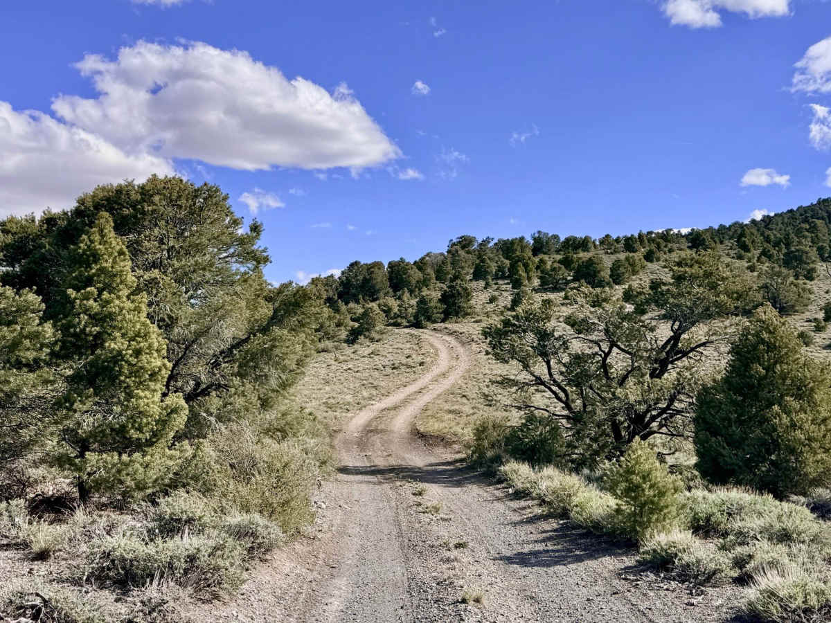
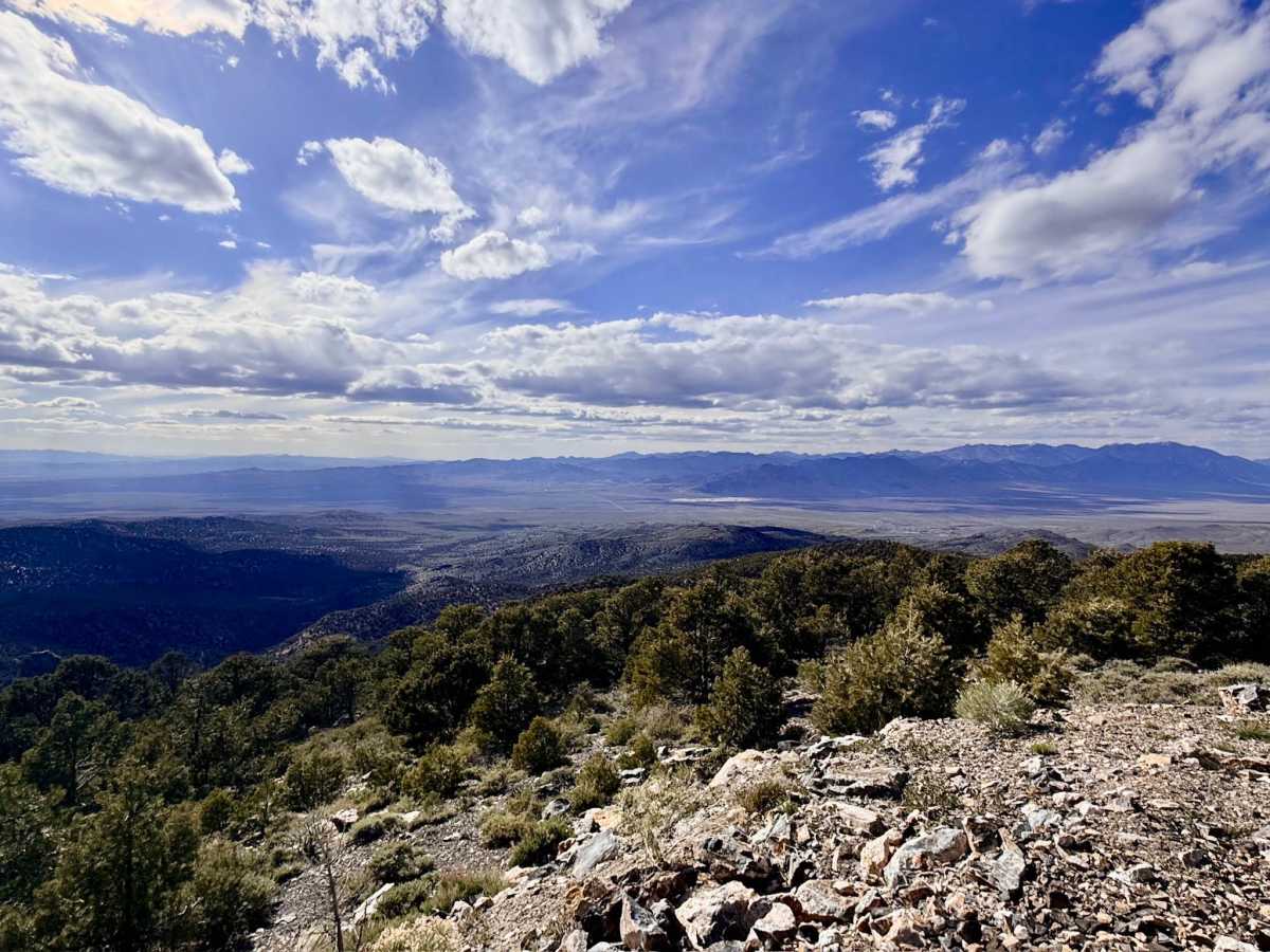
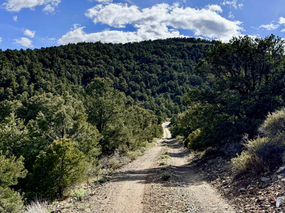
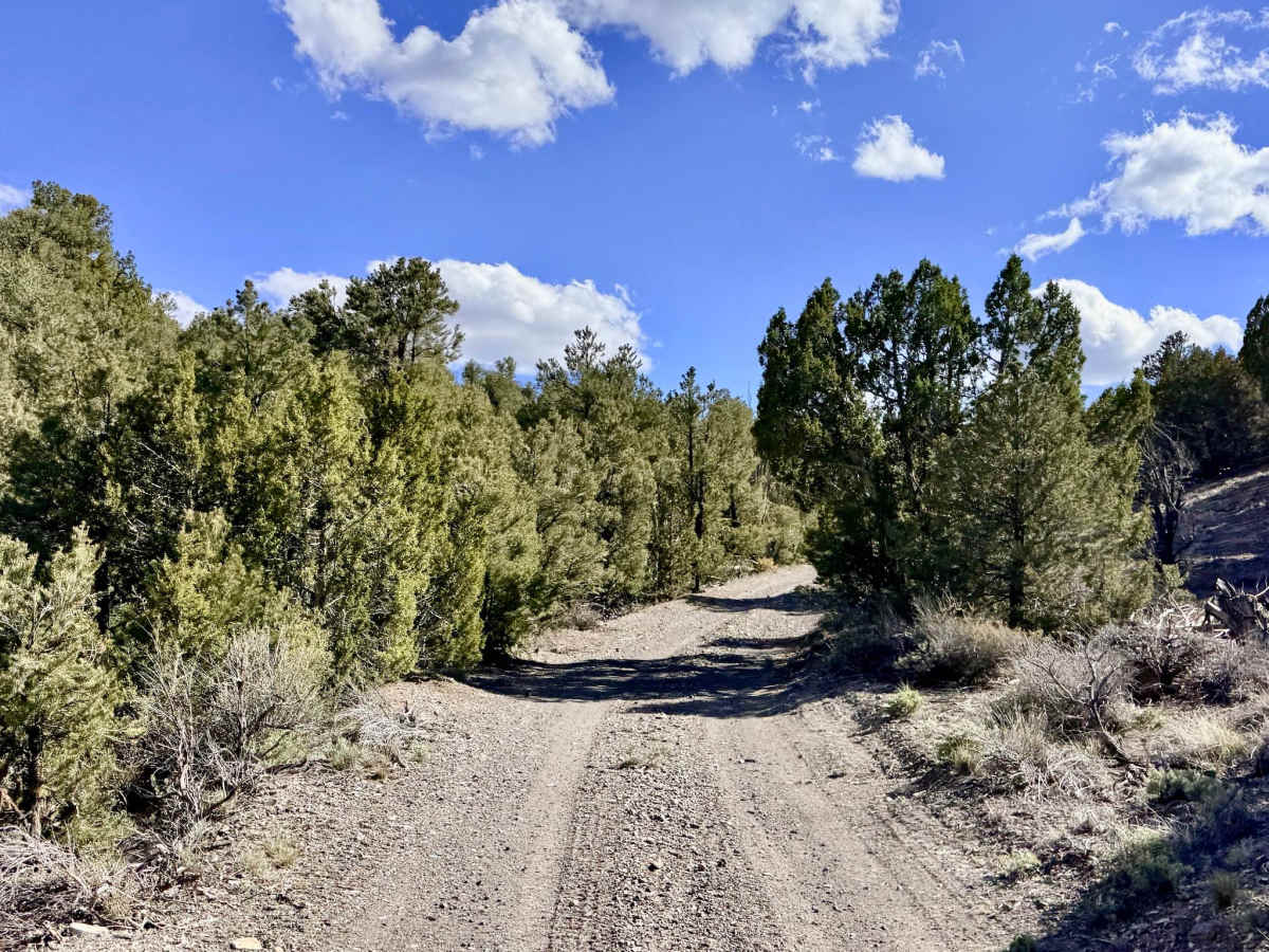
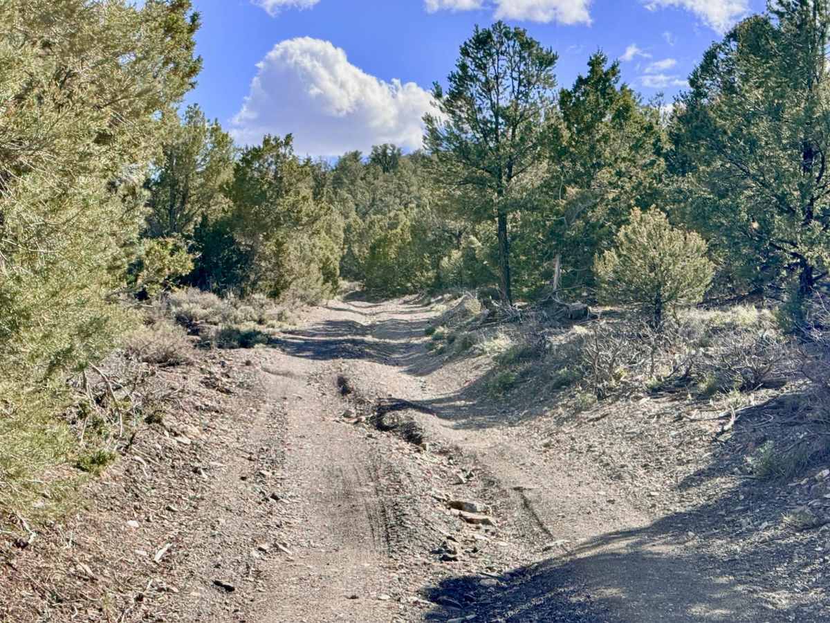
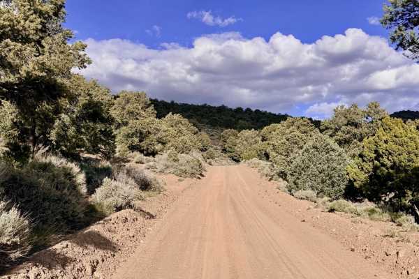
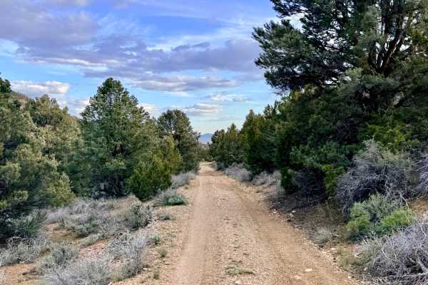
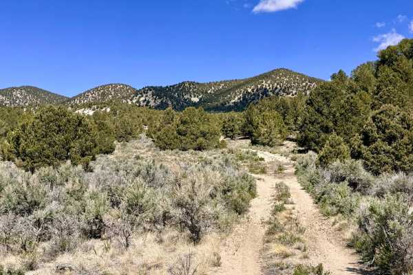
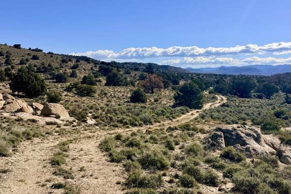
Quima is an aggressive, rewarding out-and-back trail that provides a direct line to the high-vantage summits of the Toquima Range. The journey begins with a technical challenge: the first 1.5 miles of the trail effectively serve as a natural drainage corridor. Drivers will encounter a sustained, deep central rut that requires constant "straddling" and precise steering to stay on the high ground. Once you conquer the initial drainage section, the trail smooths out significantly, winding through high-desert scrub and transition-zone timber. As you approach the summit, the vistas become truly world-class. The trail culminates at a modern solar-powered communications array perched at the peak. From this towering position, you are treated to breathtaking, unobstructed views of the Monitor, San Antonio, and Toiyabe ranges, with the vast Great Basin valleys stretching toward the horizon in every direction. This is a premier route for those seeking total solitude and a "top-of-the-world" perspective.
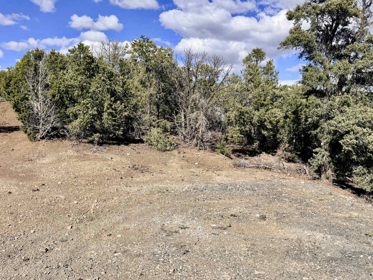
Several small, scenic dispersed camping pull-outs are located along the ascent, offering varying degrees of wind protection. While the majority of the Toquima Range is a dead zone, the communications tower at the terminus provides a rare island of reliable cell service at the very top. However, you will have zero service on the way up, so download your offline maps first.
Difficulty
Rated a 3 primarily due to the sustained 1.5-mile rut section at the start. Navigating this "lopsided" track requires high clearance and steady throttle control. You will also encounter several loose, rocky hill climbs near the summit where traction can be limited. There is no winter maintenance on this route. Because the first section is a drainage, this trail should be avoided during heavy rain or spring snowmelt, as it can turn into an active creek or become incredibly muddy.