Trail Overview
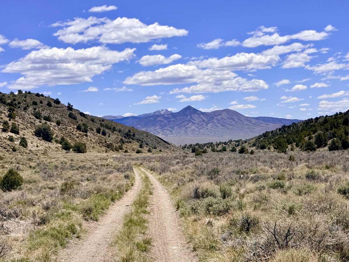
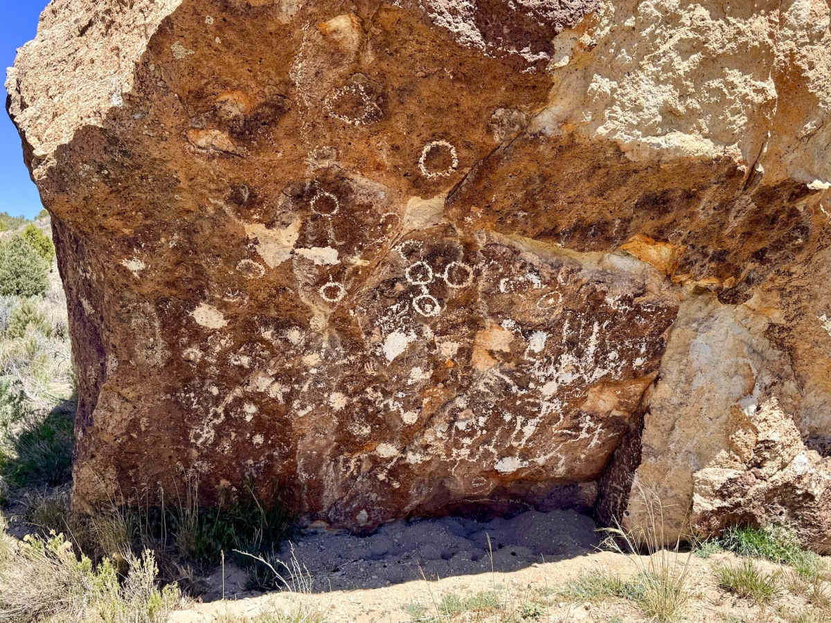
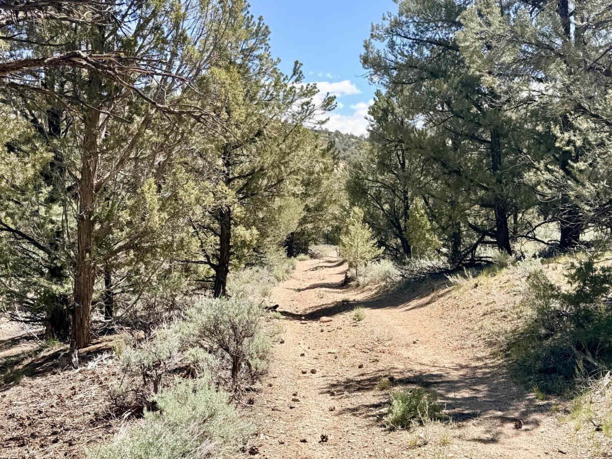
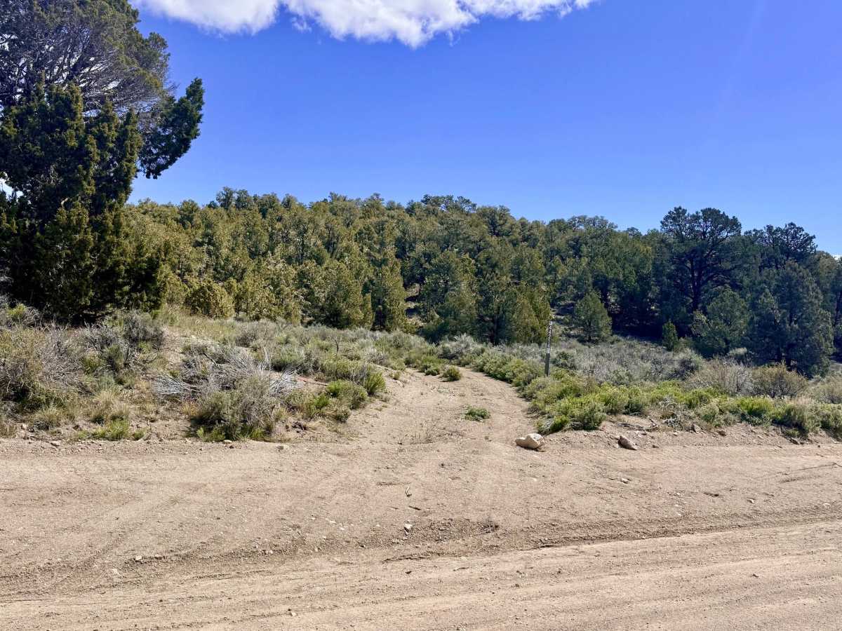
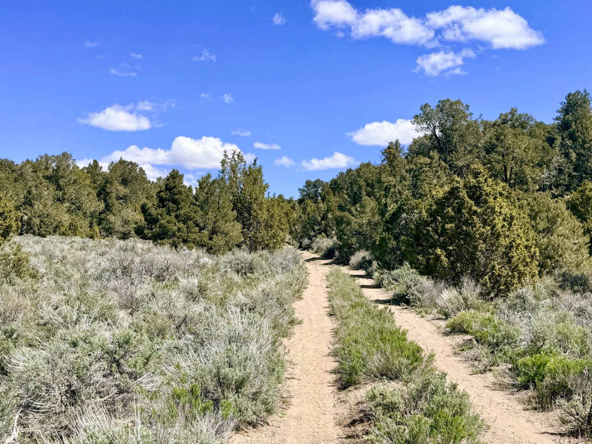
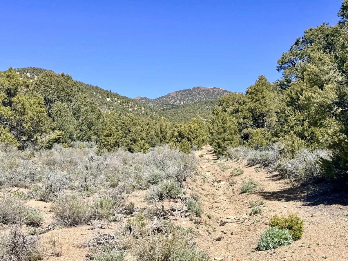
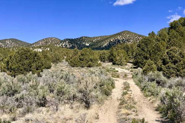
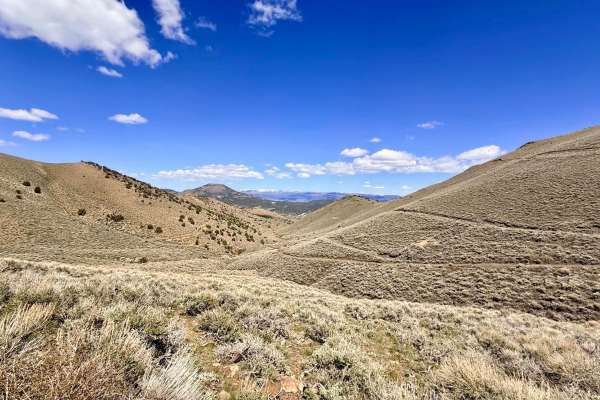
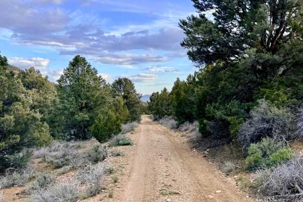
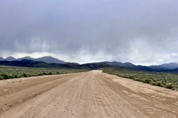
The Historical Stage Route offers a spirited and scenic alternative to the wider graded roads of the district. This "twisty" route serves as a magnificent corridor through a dense forest of Utah Juniper and Pinyon Pine, providing a much more intimate experience with the Toquima Range. The highlight of this journey is found near the midpoint on the eastern side: a short, well-worth-it detour leading to the Bald Mountain Petroglyph Site. Here, you can witness a truly spectacular boulder adorned with intricate ancient petroglyphs carved into nearly every face of the rock. Back on the main track, the trail continues its technical flow, crossing natural drainages and navigating technical washouts. While a few small clearings could serve for dispersed camping, the route is best enjoyed as a scenic, historically rich traverse that terminates at Manhattan Wash, your primary gateway into the living mining town of Manhattan. Expect zero cell service for the duration of this trail. The dense timber and surrounding ridges create a total signal dead zone. Download offline maps before leaving the Tonopah or Manhattan area.
Petroglyph Etiquette: The Bald Mountain petroglyphs are a sacred and irreplaceable archaeological site. Do not touch the rock art, as oils from human skin can damage the ancient carvings. Take only pictures and stay on the established footpaths around the boulder.
Difficulty
Rated a 3 due to numerous wash crossings and sustained off-camber sections. Drivers should be prepared for several deep drops and sharp climbs where the trail enters and exits dry washes. Once in the dense forest, the trail narrows significantly. Expect unavoidable paint scratches.