Trail Overview
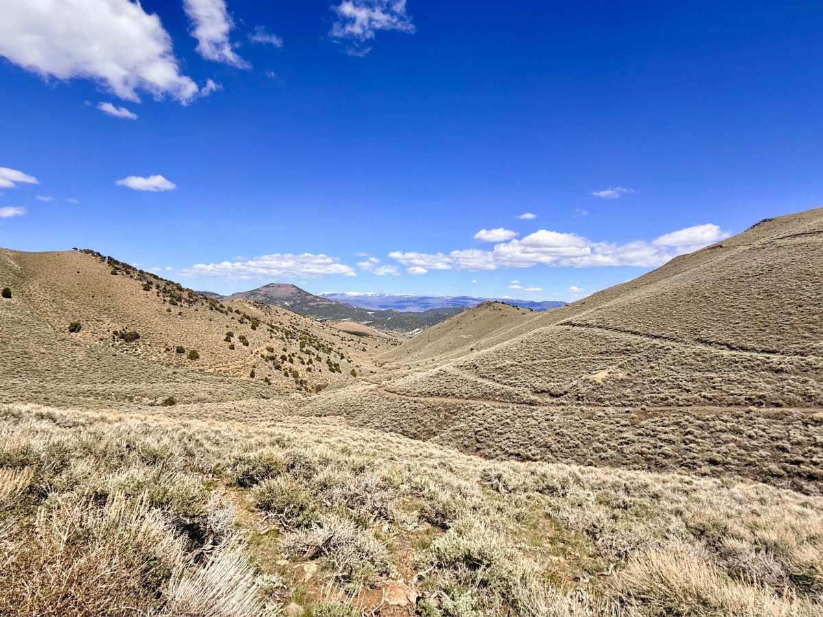
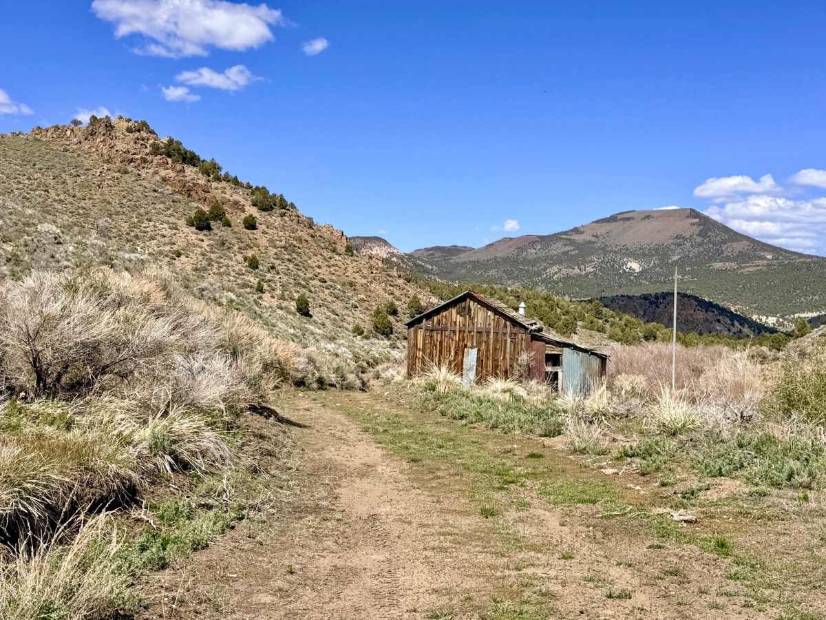
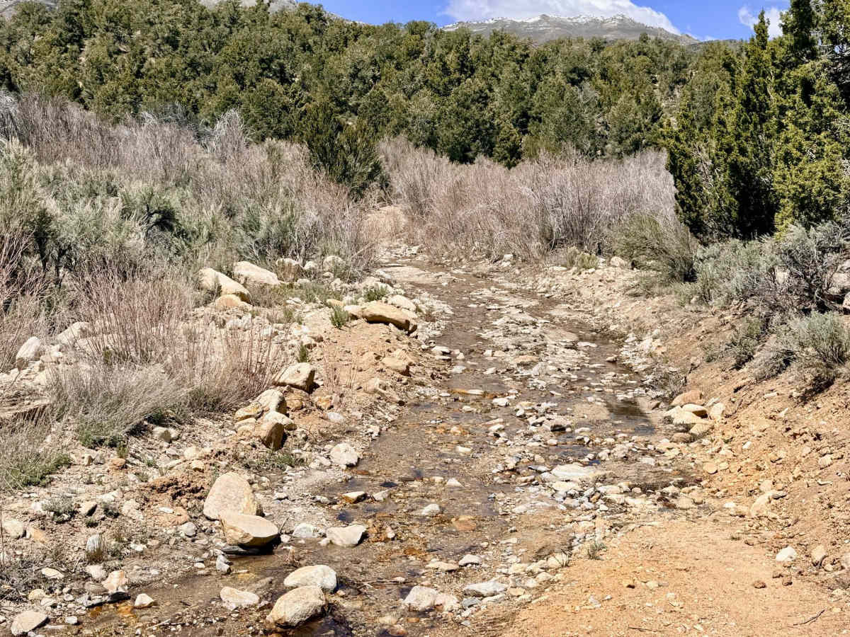
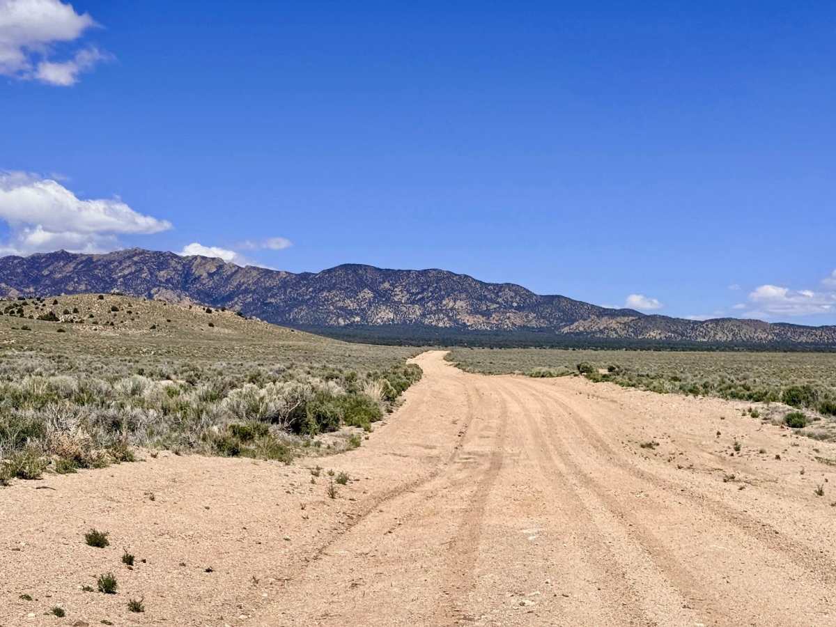
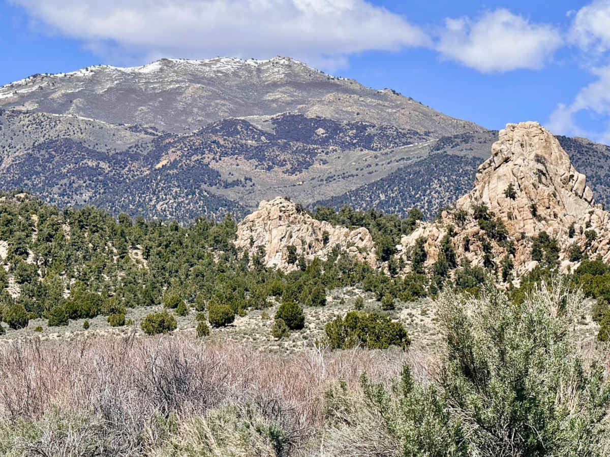
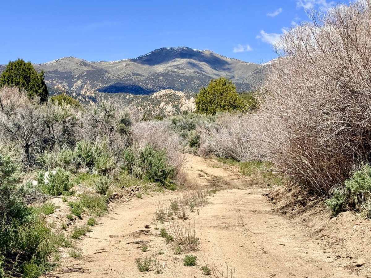
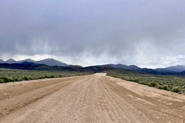
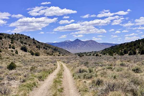
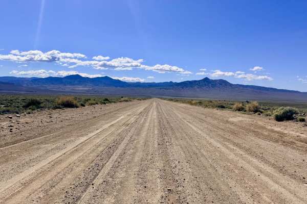
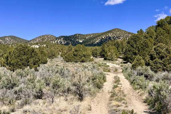
Antone Silver Creek is a legendary route that offers "something for everyone," provided you have the equipment and the nerves to handle its technical upper reaches. The journey begins as a wide, inviting graded road through the lower sagebrush basins. As you ascend into the pinyon-juniper forest, the trail transitions to an easy two-track. However, the character of the drive changes abruptly around the 8-mile mark. After passing an active private mining claim, the reason for the well-maintained lower section, the trail takes a sharp left and plunges into a rugged, unmaintained mountain corridor. The next segment is a true technical gauntlet: explorers will navigate a natural creek bed filled with large boulders, deep washouts, and seemingly endless fields of jagged volcanic rock. The trail features shallow water crossings, numerous historic mine ruins, and eerie abandoned shafts tucked into the timber. As you continue to climb, you are treated to breathtaking geological features and expansive views, eventually cresting the Barcelona Summit at a staggering 9,200 feet. This high-altitude segment includes exhilarating shelf road sections that cling to the mountainside. The trail concludes at the junction with the Round Mountain Meadow Creek Trail, providing a strategic hub for either descending toward Belmont or crossing over to the modern mining center of Round Mountain.
Expect zero cell service for the duration of this run. The extreme elevation and rugged topography create a total signal dead zone. Download offline maps before leaving the Tonopah area. This is a long (1.5 to 2 hours), remote technical run. Carry extra fuel and at least one gallon of fresh water per person per day.
Difficulty
Rated a 4-5 due to the extreme nature of the boulder fields and the sustained, loose rocky climbs to the summit. This trail demands good ground clearance. Be constantly aware of your differential height to avoid catastrophic contact with the large boulders in the creek bed. At 9,200 feet, this trail is prone to lingering snow well into the summer and can be dangerous during afternoon thunderstorms. Check the high-altitude forecast before attempting the summit.