Trail Overview
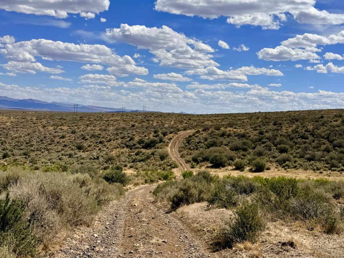
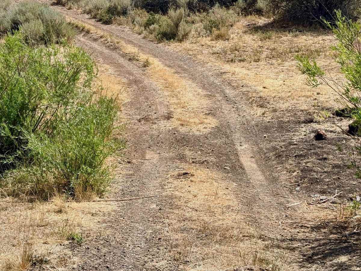
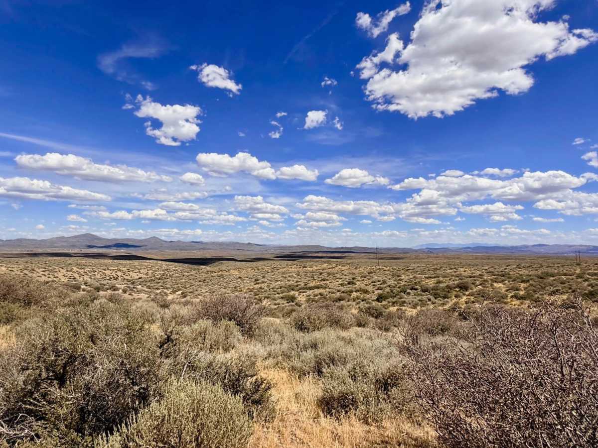
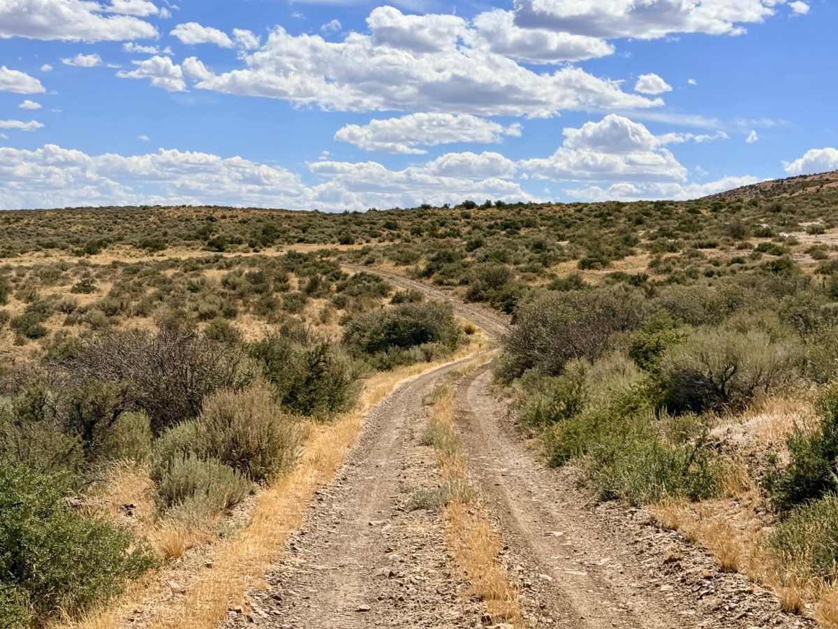
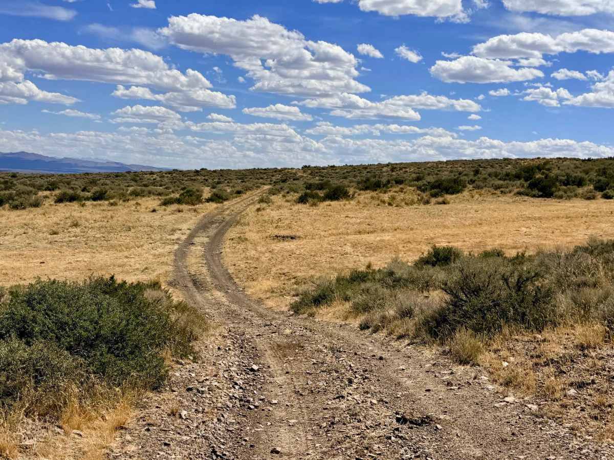
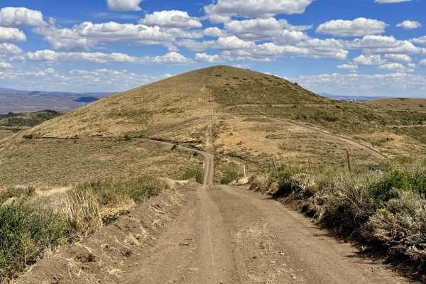
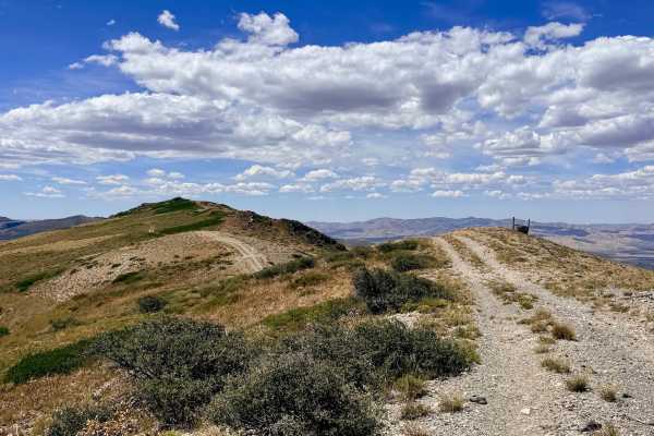
This trail cuts across the high desert lowlands and foothills at the bottom of the mountain range, passing Jim Creek and ending at the California Creek Trail. It serves as an essential main artery, providing access to a variety of trails that head higher up into the Independence Mountains. Generally, the trail is in good shape and makes for a nice, quick rip across the desert landscape, though it includes a few short, loose, rocky hill climbs along the way. There are deeper ditches and washouts that can easily sneak up on you and cause damage if you are carrying too much speed. This is an active open range area, so keep your eyes peeled for cattle on or near the trail. Be sure to leave all cattle gates exactly as you found them. While the trail begins on public BLM land, it eventually crosses into private mining property. Currently, access appears to be open; there are no signs restricting entry, and it is a heavily traveled track used to reach the mountain trails. However, please be extremely respectful, stay on the trail, and do not trespass into active mining areas to ensure this route remains open to the public. Connectivity is spotty at best, with about one bar of LTE that fades in and out. Come prepared with offline maps.
History
Traveling this route offers a sense of the area's historical and modern navigation, using tracks that have long served as access points connecting public rangelands to the resource-rich Independence Mountains. Early explorers have prospected the mountains since the late 19th century, seeking silver and gold. Today, you can see how the transition from small-scale historical prospecting to the massive modern operations of the Jerritt Canyon mining district has dramatically transformed the landscape, layering modern industrial pathways over historic travel corridors.

 Offroad