California Mountain - FS 56155

Total Miles1.7
Technical Rating
3Easy
Best TimeSpring, Summer, Fall
Trail TypeFull-Width Road
Accessible By
Open Trail Map

Trail Overview

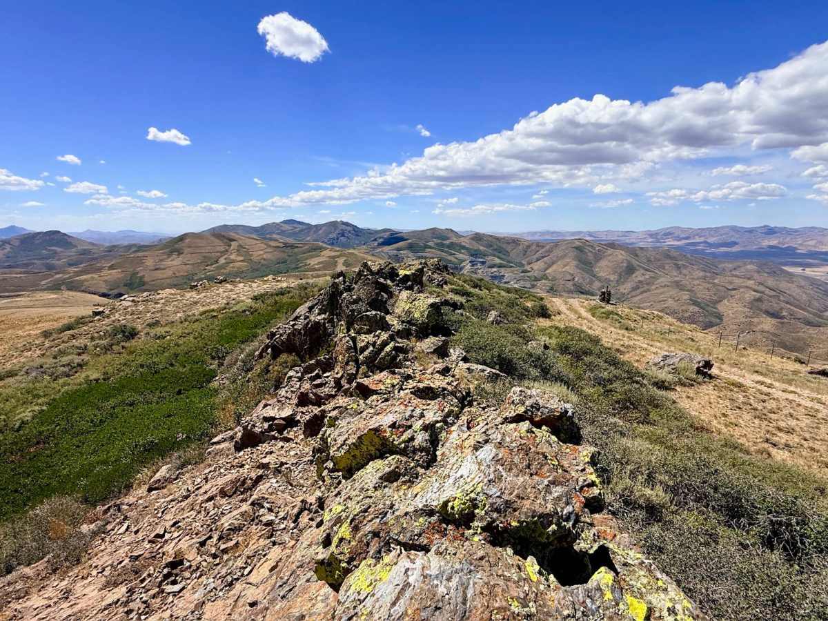
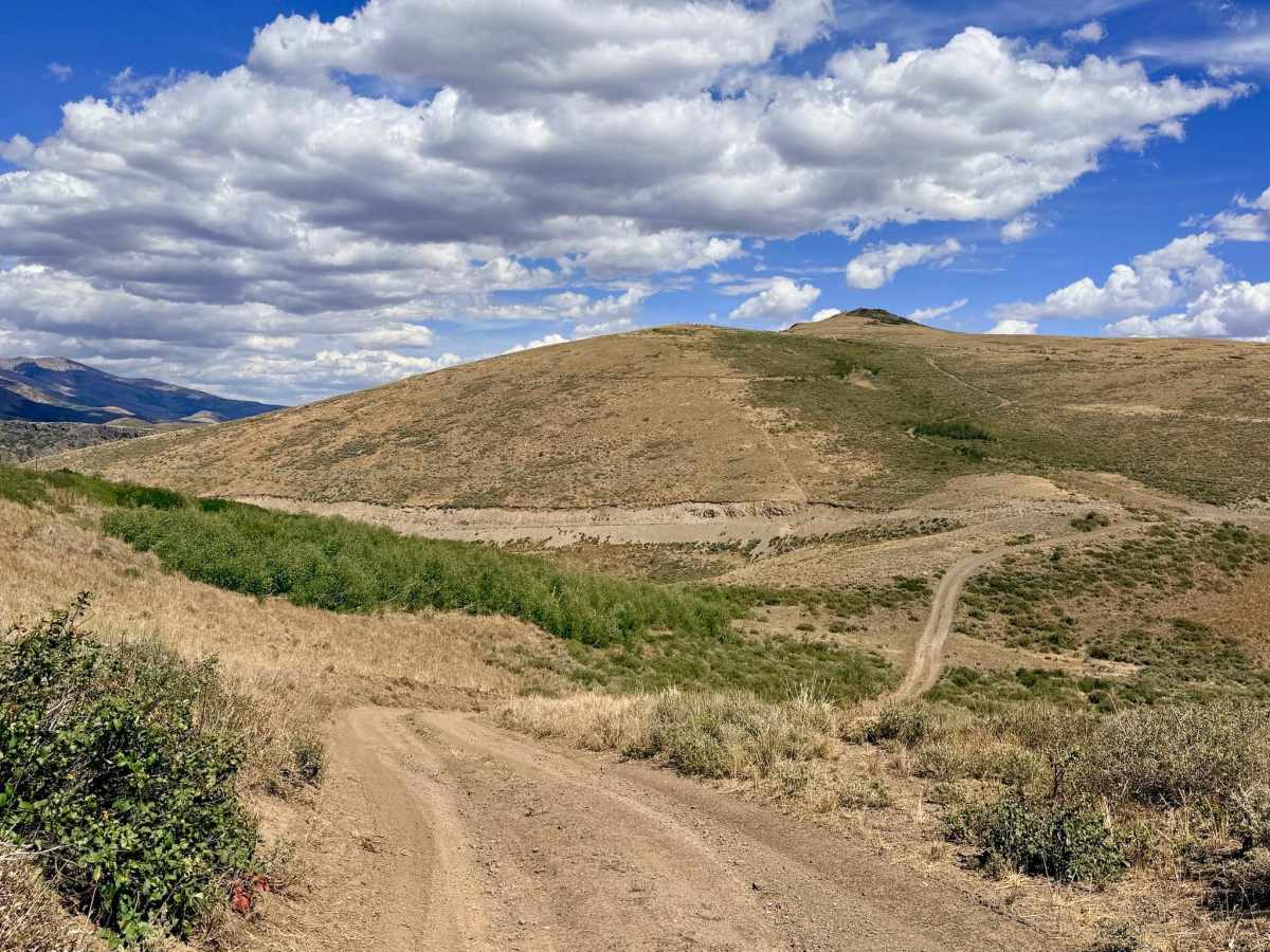
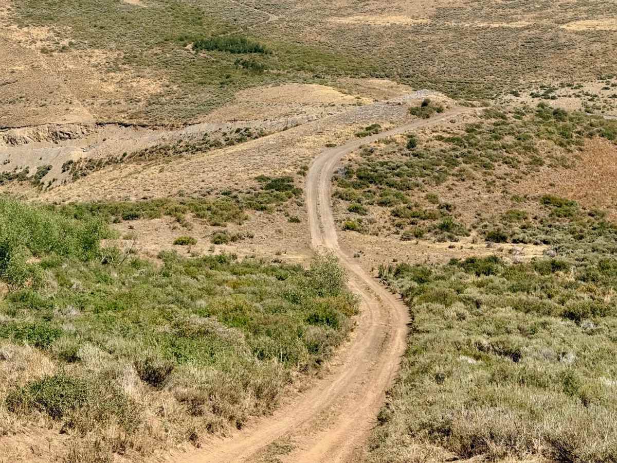
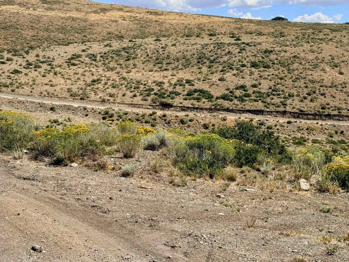
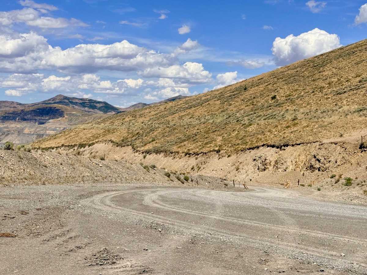
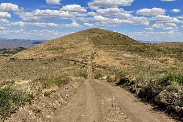
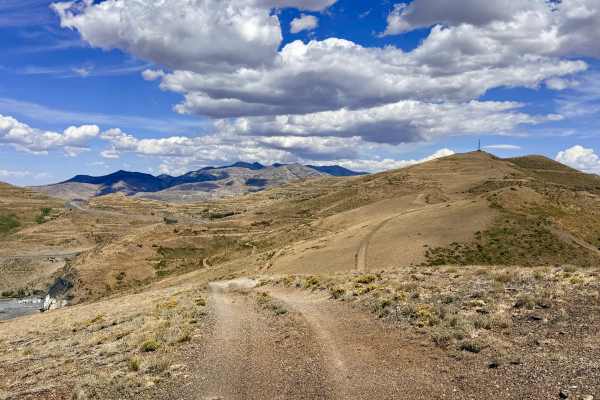
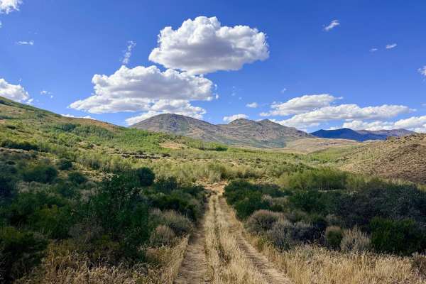
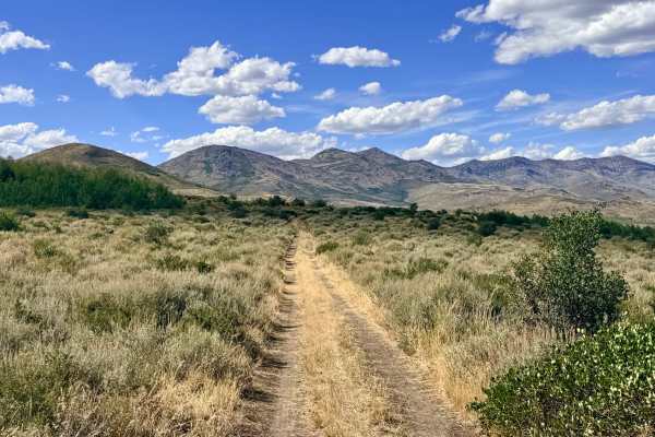
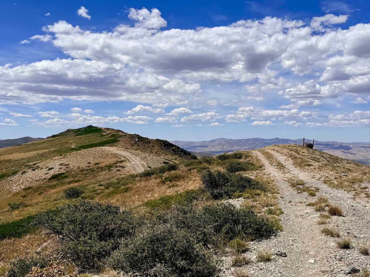
This out-and-back trail runs along the hilltops, heading up to California Peak at an elevation of 5,827 feet. From the summit, you'll get breathtaking 360-degree views of the surrounding valleys and mountains, especially striking on days with dramatic cloud formations. Note that the route deviates from its original marked course because a section is now fenced off as private property, likely part of the massive mining operation to the northwest. The trail continues past California Peak along the ridgeline, passing by patches of Manzanita bushes and eventually ending at a small flat area equipped with solar panels and communications gear. This terminus acts like a peninsula, offering slightly different but equally spectacular vantage points. There is just enough room for three to four rigs to carefully turn around at the end before heading back. There is some heavy Mining traffic. The trail crosses the main access roads for the mines. You can expect full LTE cellular service throughout this elevated route.

Photos of California Mountain - FS 56155

Difficulty

Rated a 3 for the final section near the mountain, which is loose, rocky, and dug out, requiring careful line choice and deliberate vehicle placement. While the majority of the trail is a pleasant ridgeline drive.

Technical Rating

3

California Mountain - FS 56155 Trail can be accessed by the following ride types:

  • Single Track
  • 50 Inch
  • 60 Inch
  • High Clearance
  • Full Width

California Mountain - FS 56155 Map

The onX Offroad Difference

onX Offroad combines trail photos, descriptions, difficulty ratings, width restrictions, seasonality, and more in a user-friendly interface. Available on all devices, with offline access and full compatibility with CarPlay and Android Auto. Discover what you're missing today!

Open Trail Map