Trail Overview
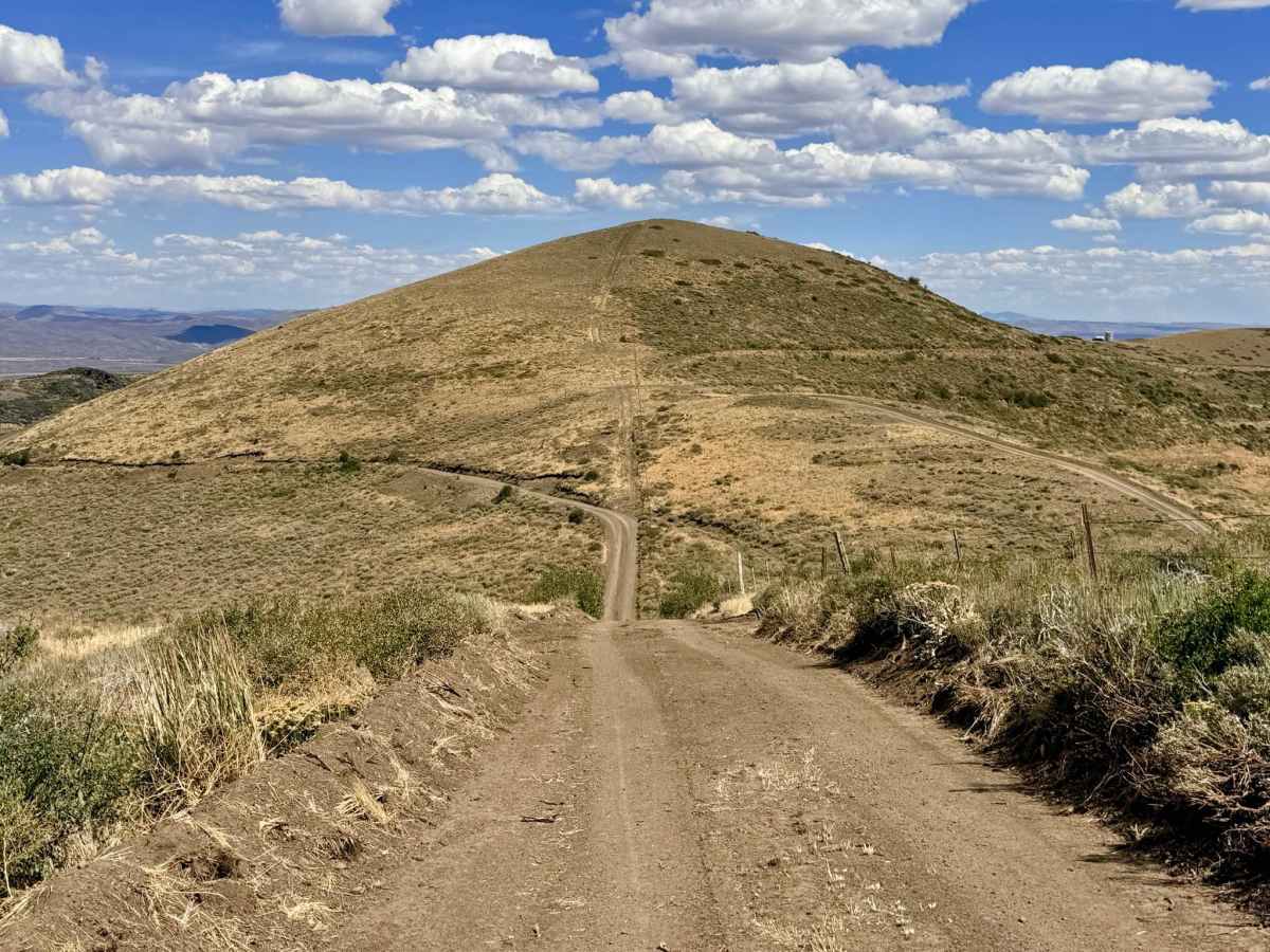
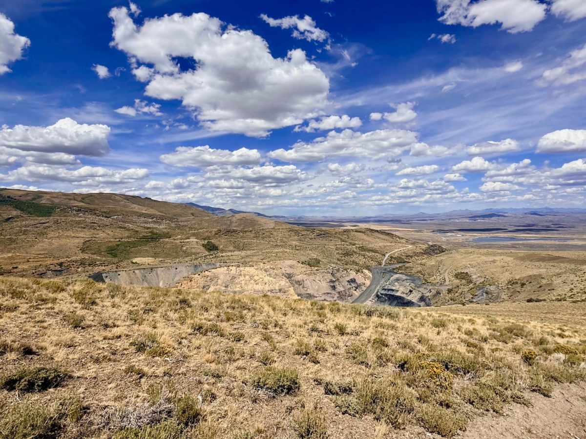
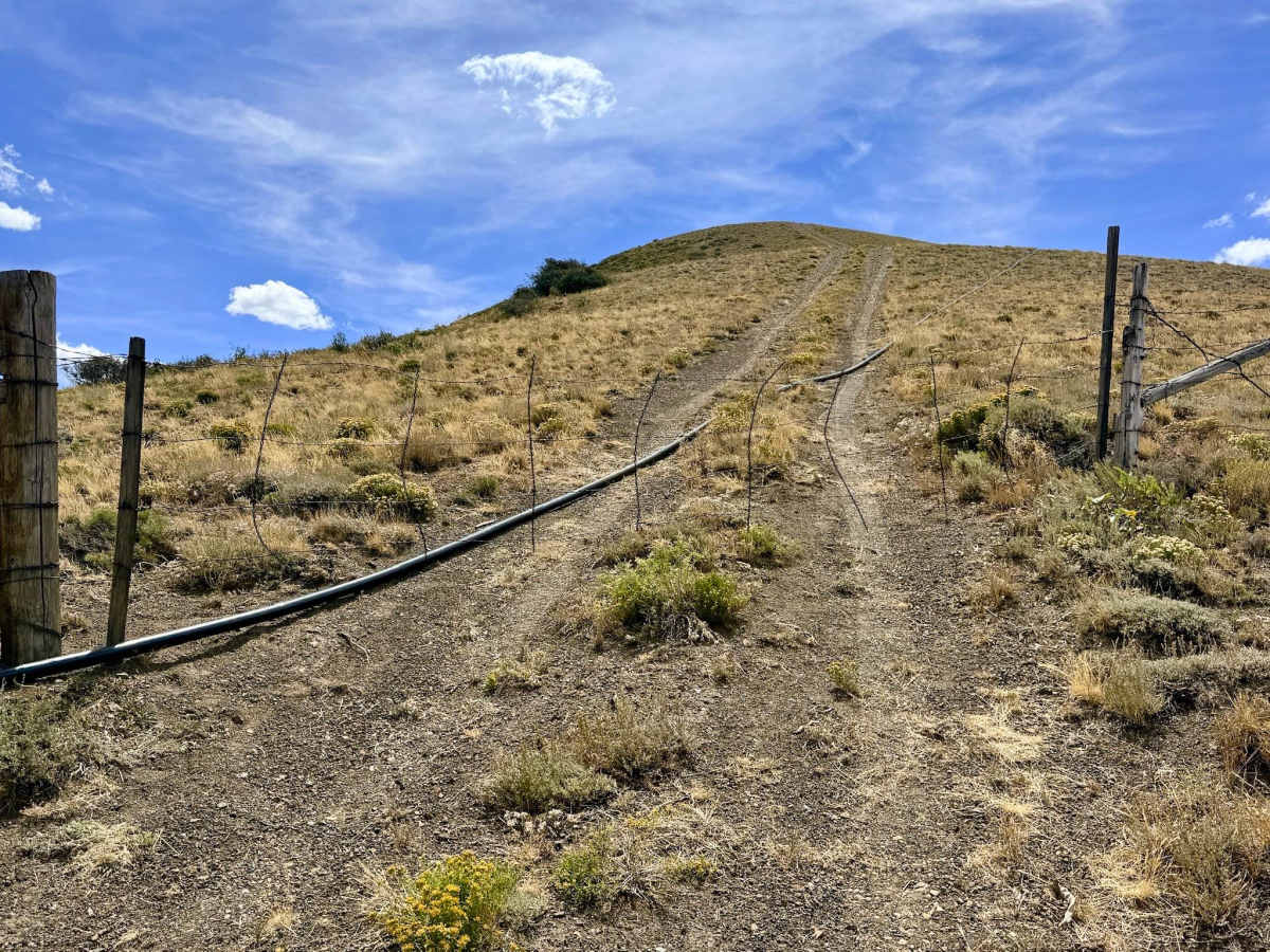
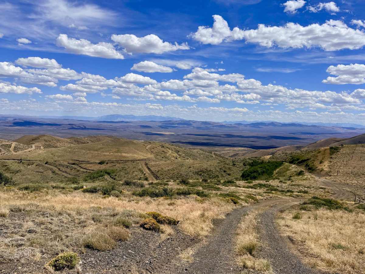
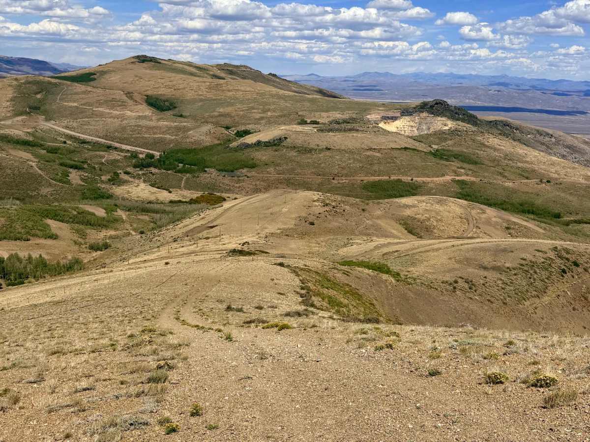
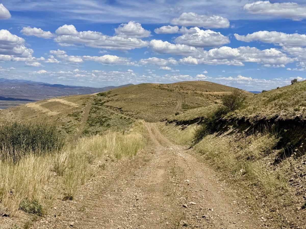
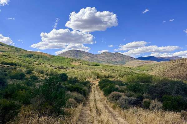
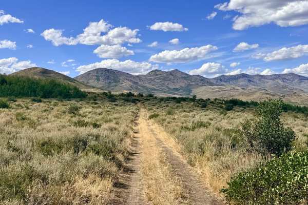
This route acts as a fun "roller coaster" of a trail, jumping from peak to peak as it bypasses the Jerritt Mine and takes you from the high mountain tops back down to the valley below. Visually, you are rewarded with outstanding views after crossing each peak, offering a slightly different angle of the area and a bird's-eye view of various mining activities along the trail. Because this area has a maze of trails, it is important to stay on the recorded track so you don't accidentally end up down one of the many cuts the mining company has put into the hillsides. If you are ever unsure of the correct path while driving, look for the lesser-traveled route that goes directly over the top of all the small peaks. Use caution navigating through a couple of steeper holes and transitions to avoid digging your front bumper or trailer hitch into the dirt. Be prepared for off-camber, blind transitions at the tops of hills. The trail crisscrosses many active mining roads. Keep your head on a swivel and always yield to mining traffic, as heavy equipment may not be able to stop quickly. Verizon LTE service is available along this route. Route Deviation: Near the junction with the Mahala Trail, the original track has become completely overgrown. You will need to deviate from the original line, loop around, and connect up with the trail down below.
Difficulty
Rated a 3 for steep hill climbs, off-camber sections over peaks, blind transitions, loose rock, and a few deeper washouts. It is not recommended for drivers or passengers who are afraid of heights.