Trail Overview
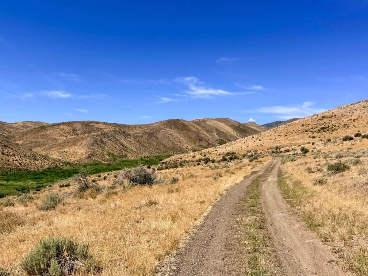
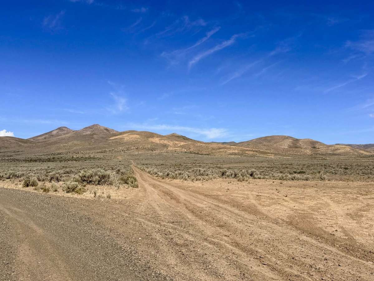
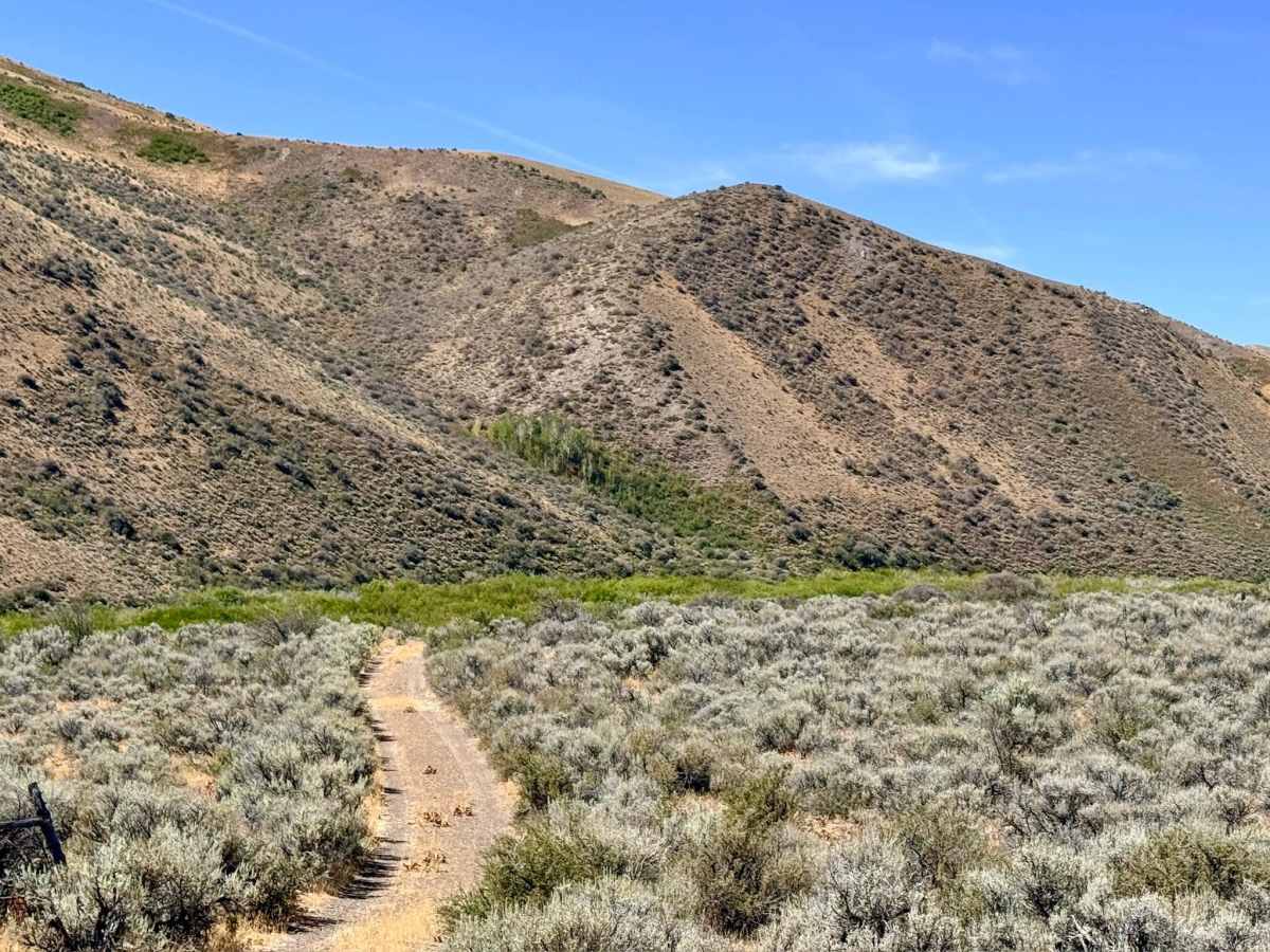
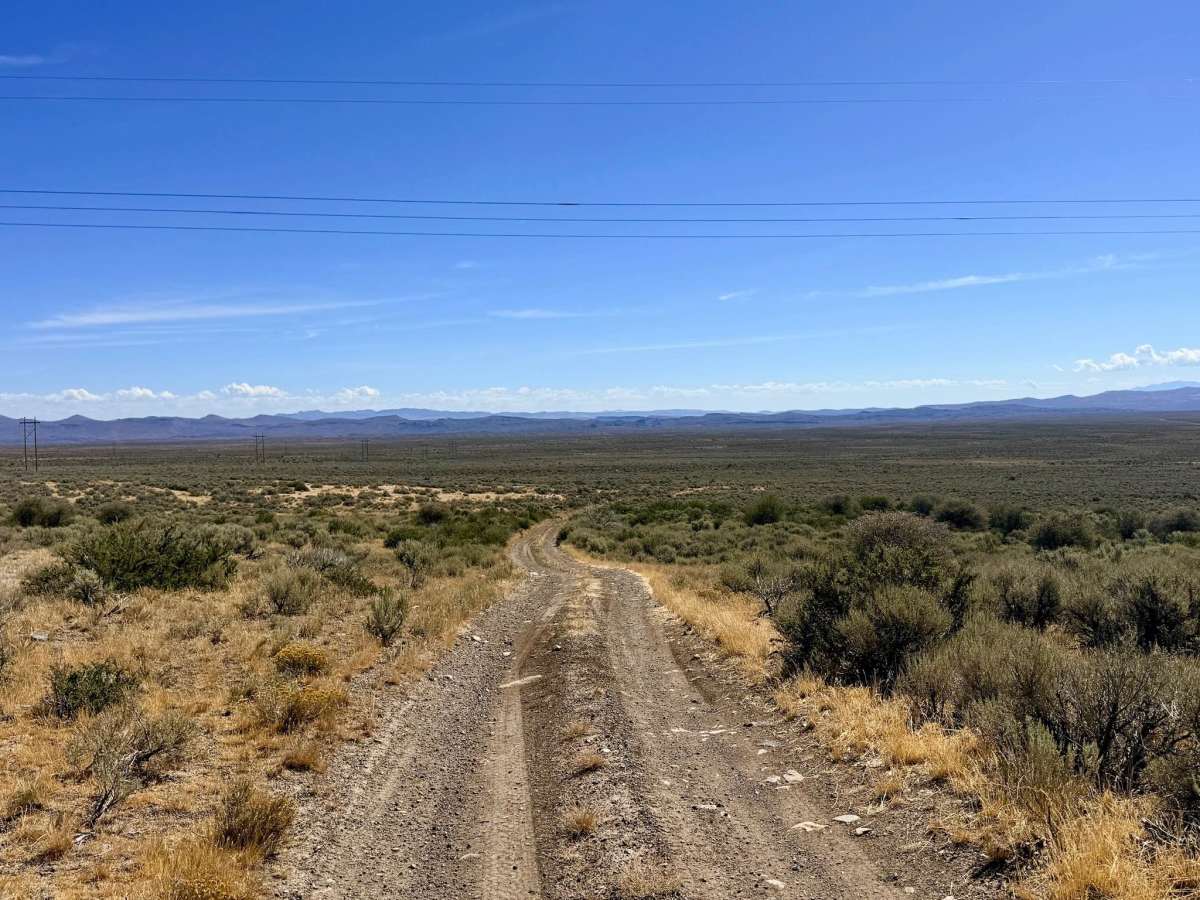
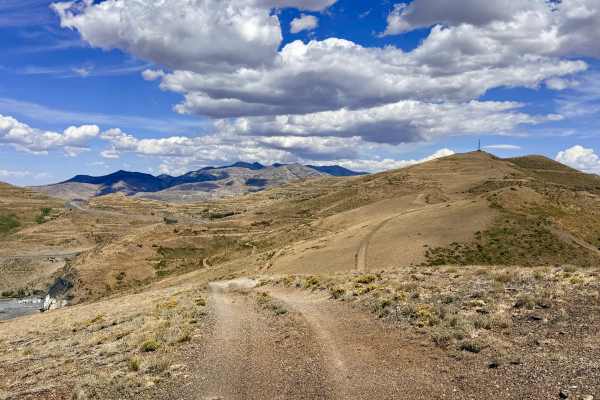
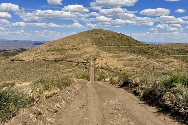
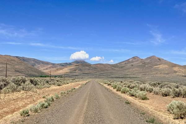
This trail begins at a nice-sized pull-off alongside the main road. The initial pull-off at the start of the trail is located on private property. Do not use this area as a staging ground for unloading rigs; pass through respectfully. The lower area of the route starts in large, open sagebrush meadows as it heads up into the hills. As the trail ascends, it runs high above Gance Creek, allowing you to look down into the valley where lush trees mark the water's flow. The route offers a varied driving experience, alternating between mild shelf road sections and stretches that drop lower into the valley. Eventually, the trail descends directly into the valley floor, winding through groves of Aspen trees alongside a low-flow trickle of a creek. As you climb back out of the valley and into the hills, the terrain becomes rougher, featuring off-camber sections and a notable washout that dictates the trail's difficulty rating. The journey culminates at a prominent peak boasting 360-degree views of the surrounding mountains. Looking to the northwest, you are treated to fantastic overlooks of Burns Basin and Spaghetti Canyon. It is an excellent spot to take a break, grab a snack, and map out your continued exploration of the area. While cell service is excellent at the summit, coverage may be spotty or non-existent in the lower valley and Aspen groves.

 Offroad