Trail Overview
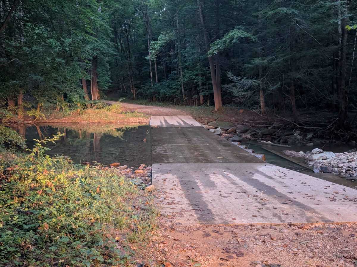
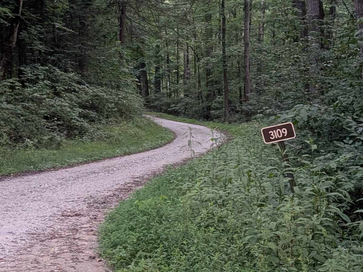
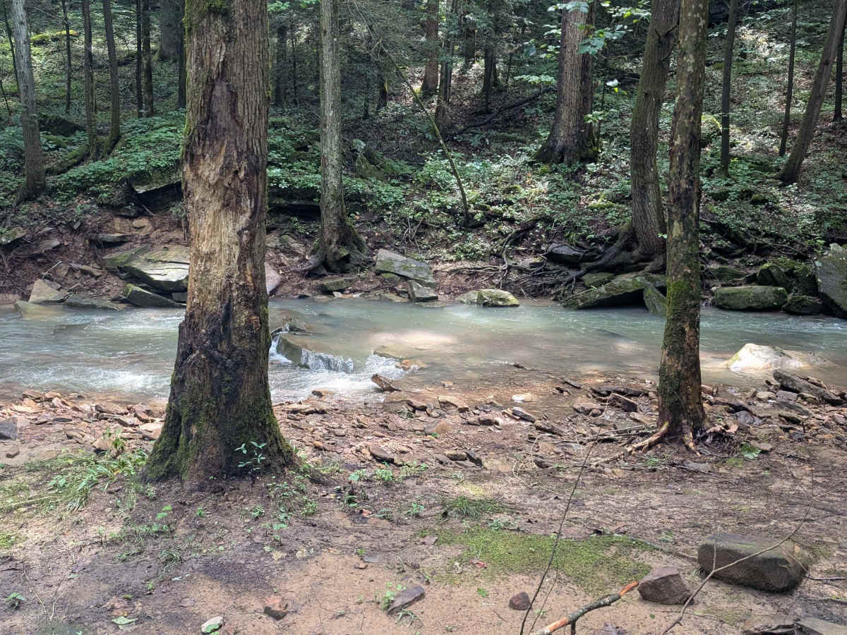
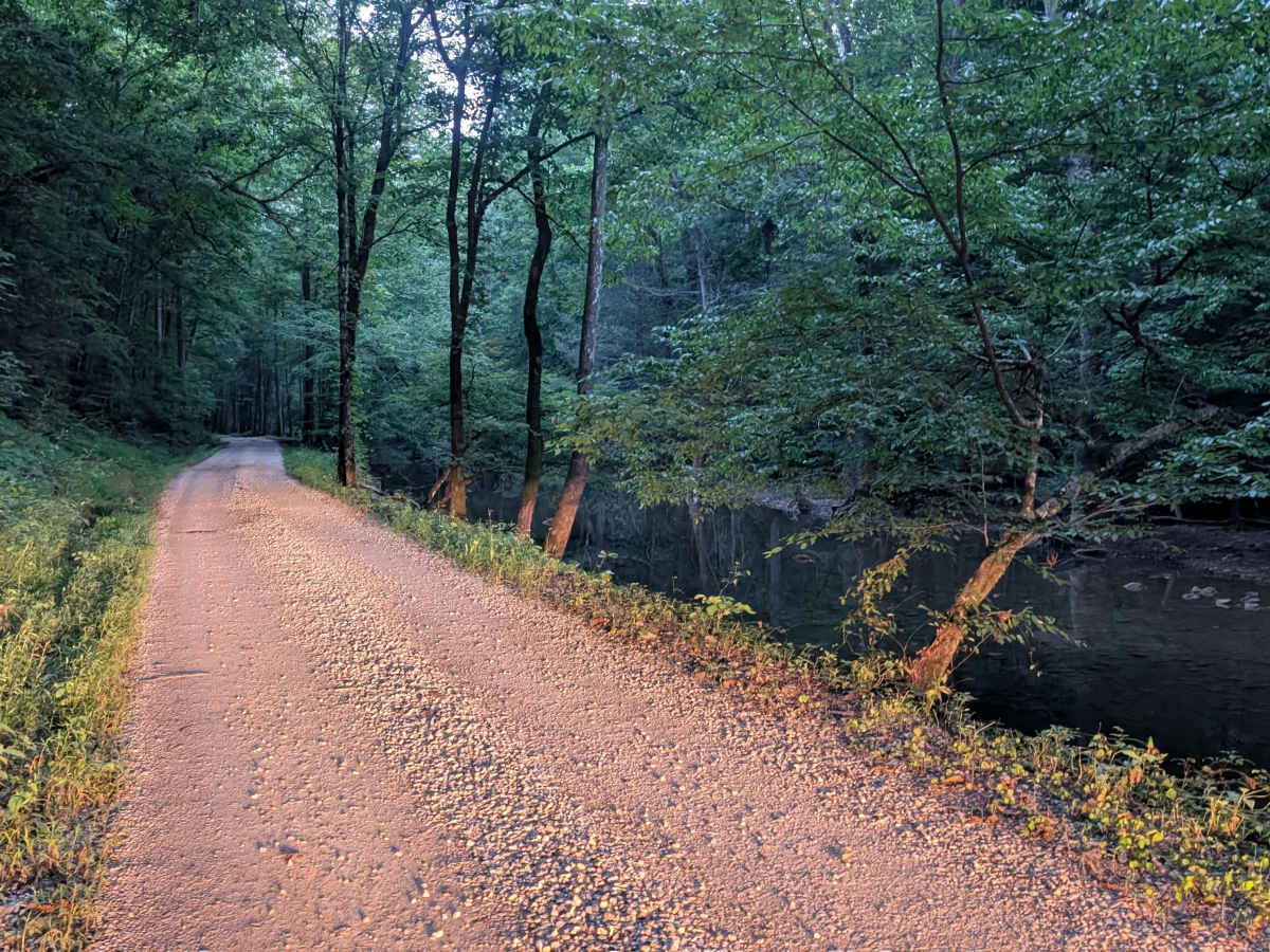
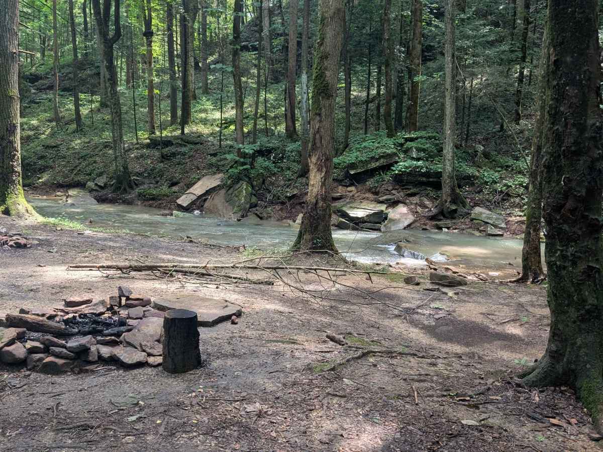
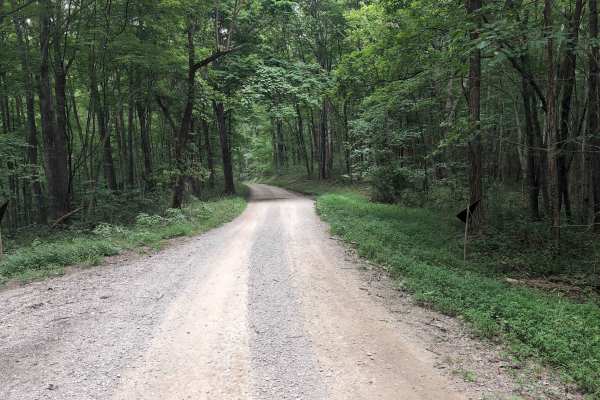
Steer Fork Road - FS 3109 is a dead-end forest road that branches off Elster Road in the Daniel Boone National Forest and provides access to the War Fork drainage. The route is primarily gravel with only a few potholes, making for an easy and enjoyable drive through the forest. Along the road are two pull-offs that offer excellent creekside camping opportunities. Dispersed camping is permitted within 300 feet of the roadway. One of the campsites features a rope swing over the creek, making it a popular spot during warmer months. Near the end of the route, travelers will encounter a concrete low-water crossing. Multiple signs warn against attempting to cross when water levels are high or the crossing is flooded. Always use caution and never enter floodwaters. While the mapped route ends at the turnaround area, the road continues beyond this point. Conditions become noticeably rougher past the terminus, with rocky sections that increase the difficulty and may require higher clearance and more careful driving. As always, practice Leave No Trace principles, pack out everything you bring in, and be good stewards of our public lands so future visitors can enjoy.
Difficulty
The road is a typical gravel road; however, the low water crossing structure could be slick for bikes, and full-size trucks need to exercise caution to not fall off.

 Offroad