Trail Overview
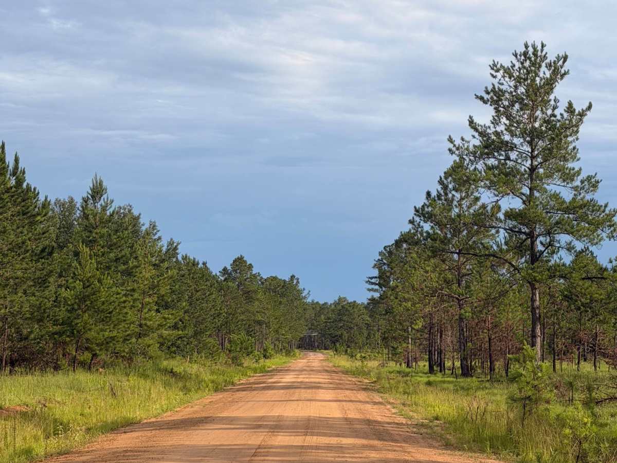
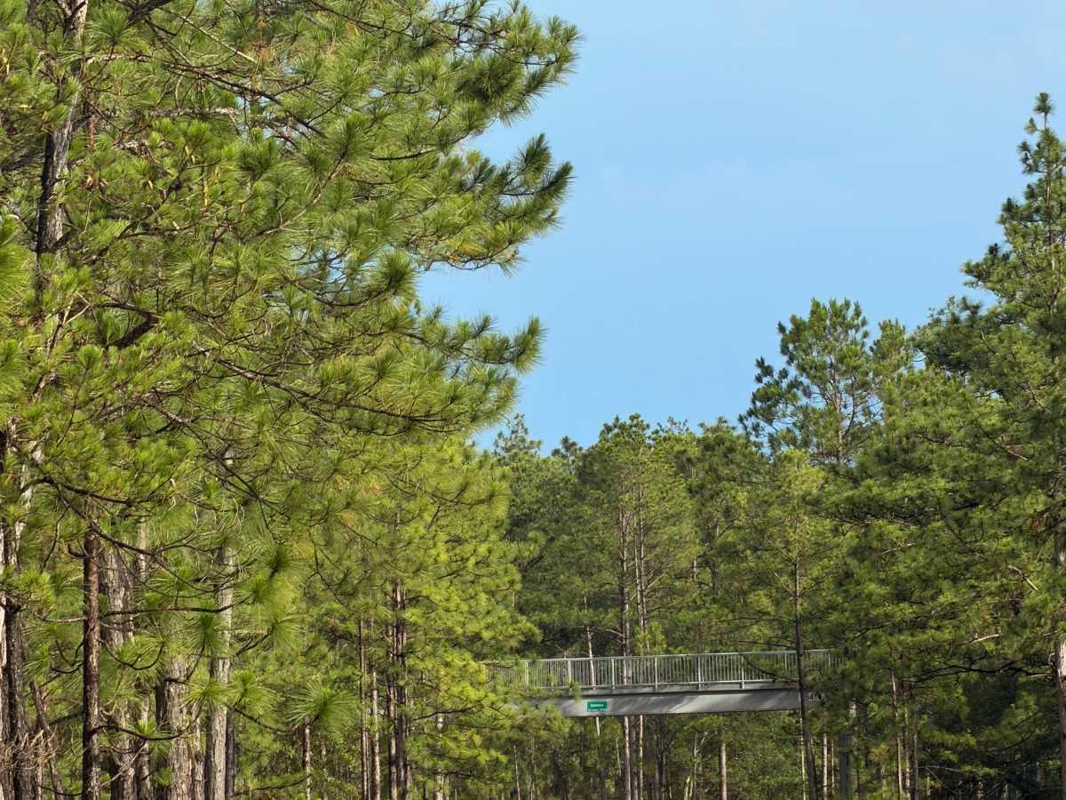
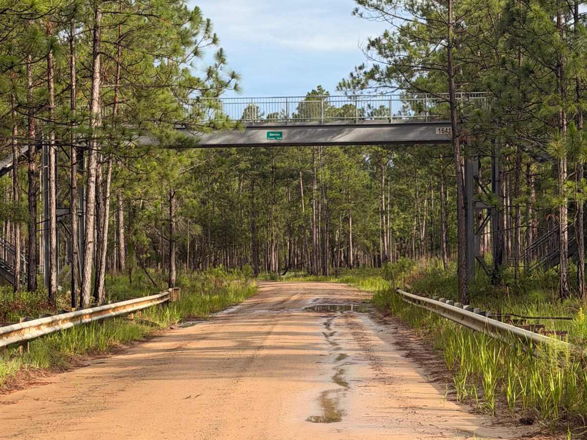
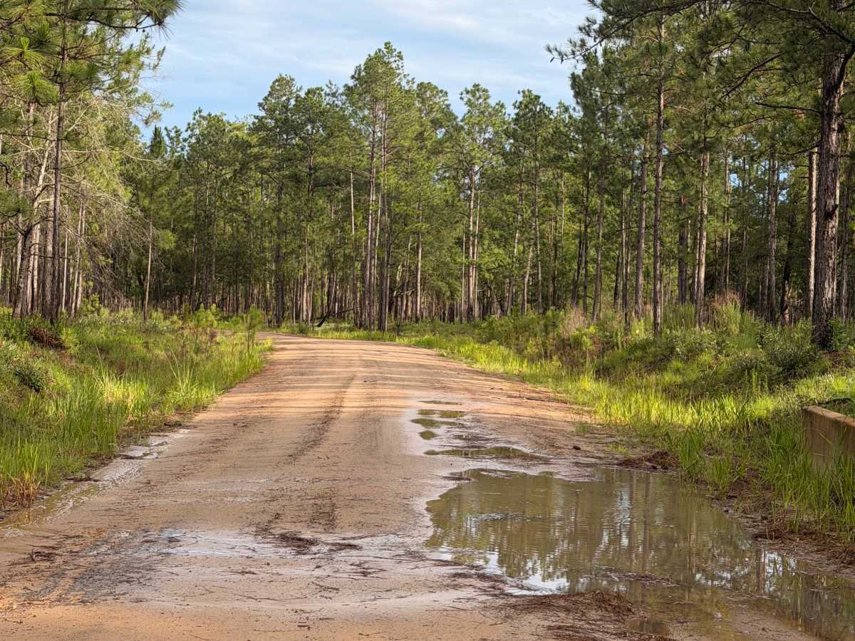
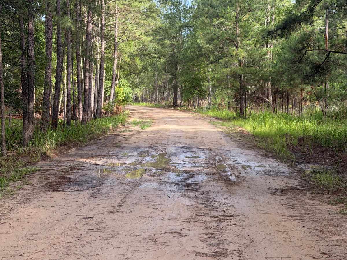
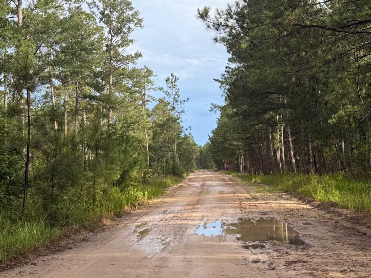
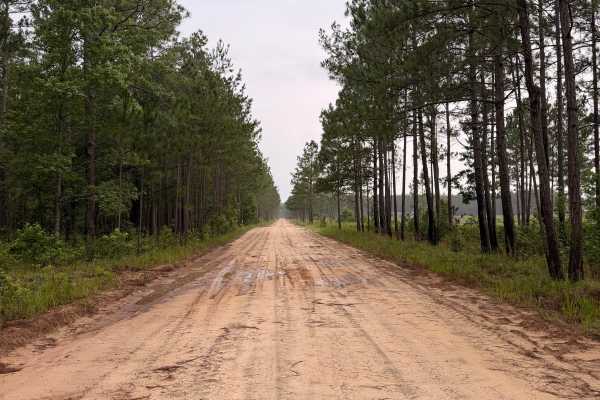
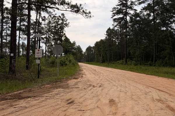
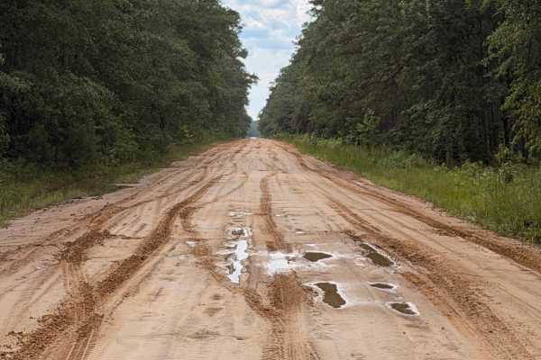
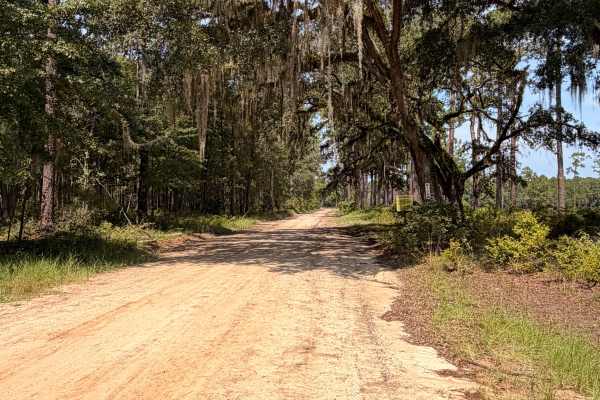
FS 9 is a quiet forest road that winds through Fort Stewart’s longleaf pine ecosystem, offering a peaceful drive beneath towering pines and through open forest habitat. The route is primarily composed of sandy roads with gentle curves and occasional puddles after rainfall. Wildlife sightings are common, and the surrounding area provides access to primitive camping, hunting, fishing, managed ponds, hiking, bird watching, and nature photography when recreation areas are open.
Because this route passes through an active forest, seasonal storms and high winds may leave fallen trees, limbs, or other debris across the roadway. Travelers should be prepared for changing trail conditions and may need to turn around if larger obstructions are encountered. Access Notice: This route is located within Fort Stewart Military Reservation and is open to the public through the Fort Stewart iSportsman Recreation Program. Visitors must obtain the appropriate permits, check into an open recreation area, and comply with all Fort Stewart regulations before entering. Area availability may change daily due to military training.
Difficulty
FS 9 is generally suitable for stock AWD and 4WD vehicles under normal conditions. Drivers can expect loose sugar sand, shallow ruts, and occasional standing water after rain. Storm damage may temporarily create obstacles such as fallen trees or branches, making trail conditions more challenging until maintenance crews clear the route.