Trail Overview
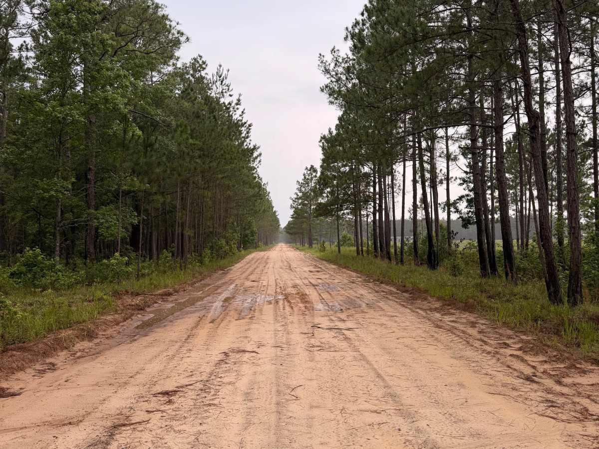
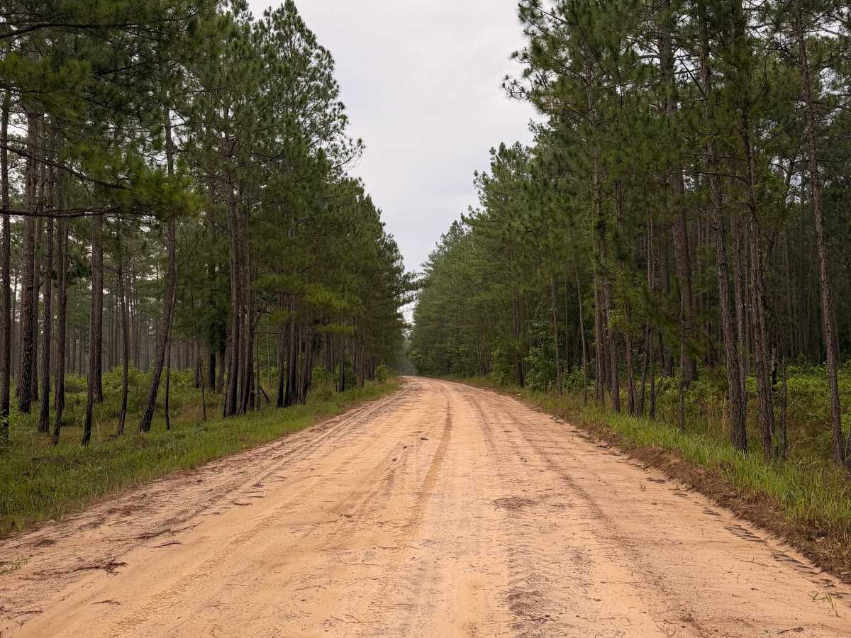
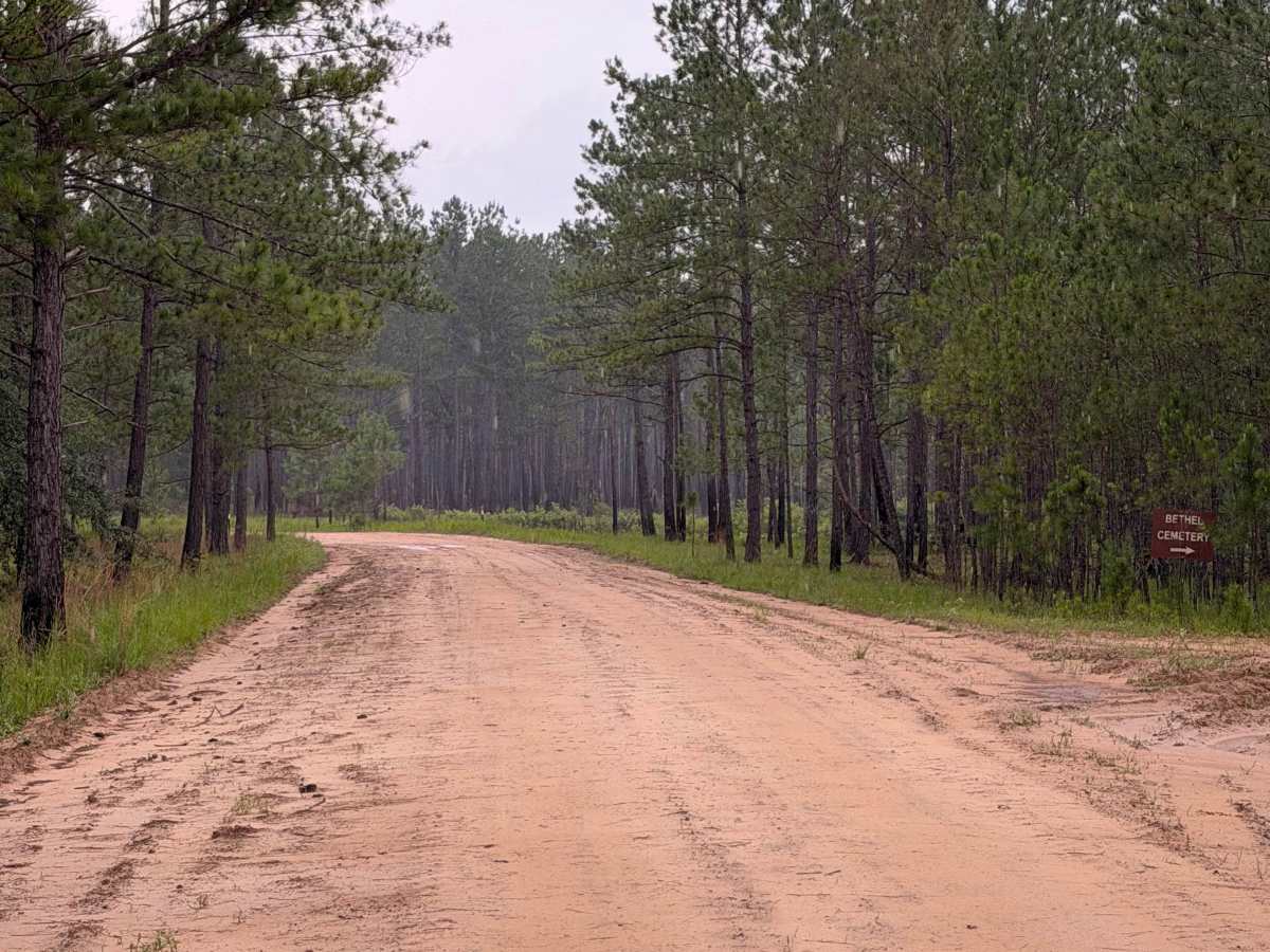
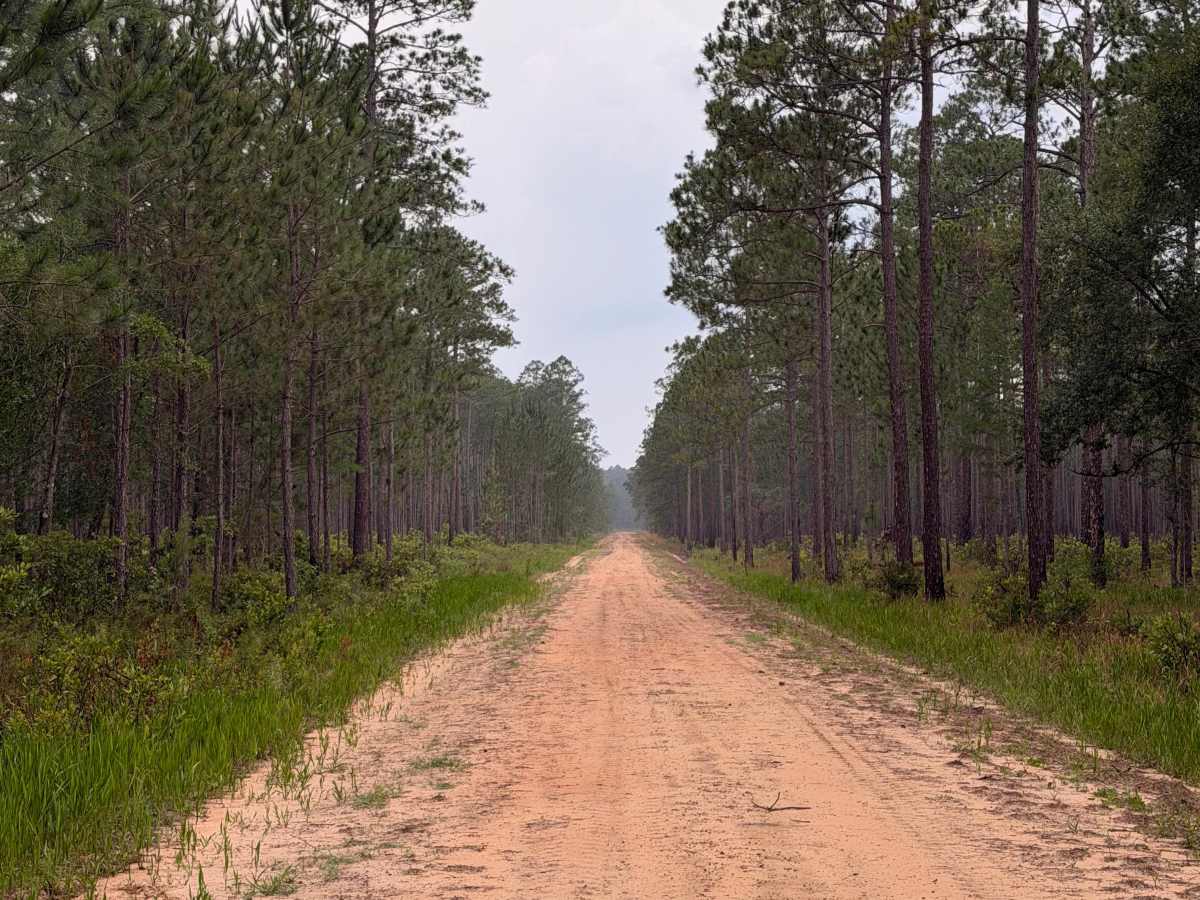
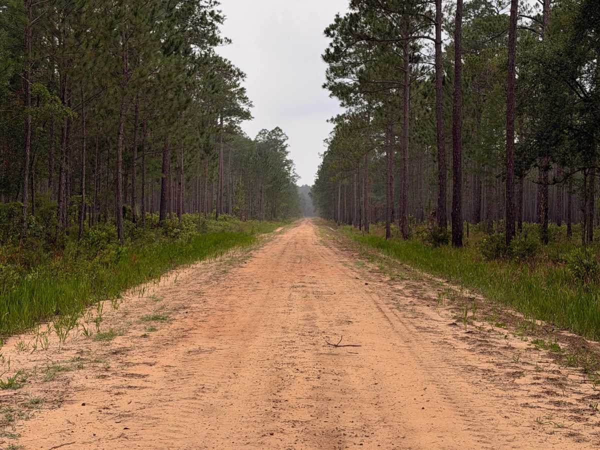
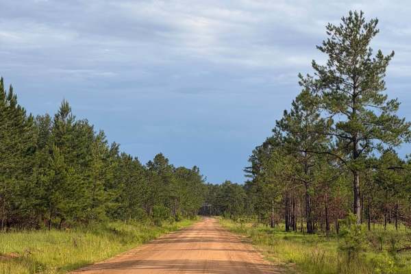
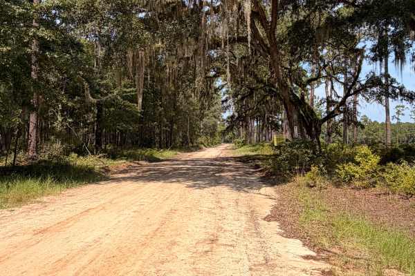
FS 4 is a scenic forest road that winds through the longleaf pine ecosystem of Fort Stewart. The route features wide sandy roads, gentle curves, and peaceful stretches beneath towering pines, making it ideal for a relaxing drive through one of Georgia’s largest public recreation areas. Along the route, travelers will pass the historic Bethel Cemetery while enjoying opportunities to spot native wildlife and experience the quiet beauty of the coastal plain.
The road also provides access to nearby recreational opportunities, including primitive camping, hunting, fishing, managed ponds, hiking, bird watching, and wildlife photography when the surrounding recreation areas are open.
Access is available through Fort Stewart’s iSportsman Recreation Program and is subject to military training schedules.
Access Notice
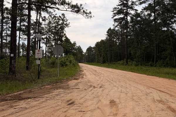
This route is located within Fort Stewart Military Reservation and is open to the public through the Fort Stewart iSportsman Recreation Program. Visitors must obtain the appropriate permits, check into an open recreation area, and comply with all Fort Stewart regulations before entering. Area availability may change daily due to military training.
Difficulty
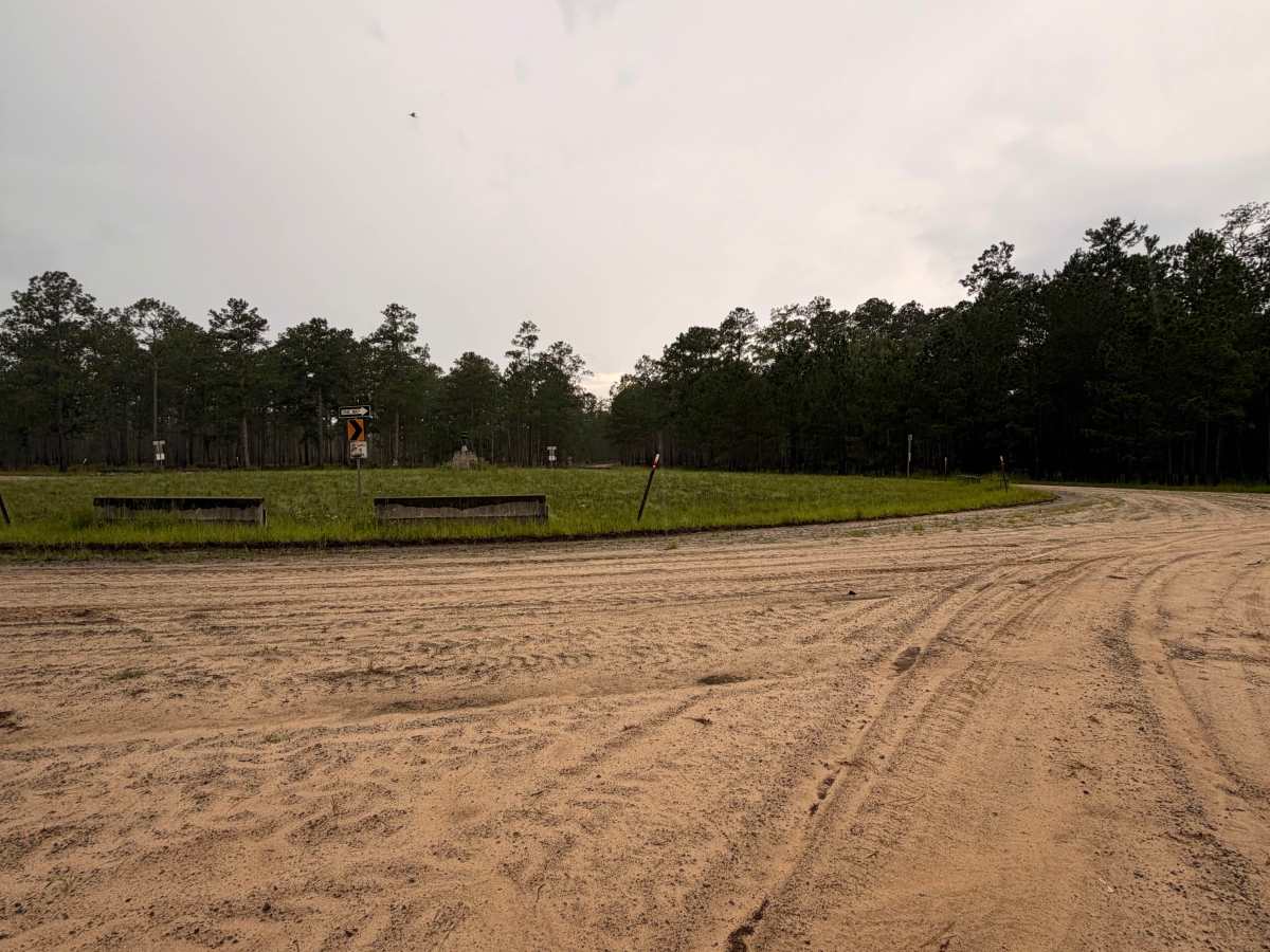
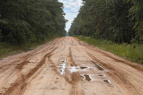
FS 4 is a wide, well-maintained sand road that is suitable for most AWD and 4WD vehicles in normal conditions. Drivers should expect loose sand, shallow ruts, occasional washboarding, and small puddles following rain. During prolonged wet weather, traction may become more challenging, making four-wheel drive beneficial.

 Offroad