Sleepy Cat

Total Miles24.7
Technical Rating
3Easy
Best TimeSummer, Fall
Trail TypeFull-Width Road
Accessible By
Open Trail Map

Trail Overview

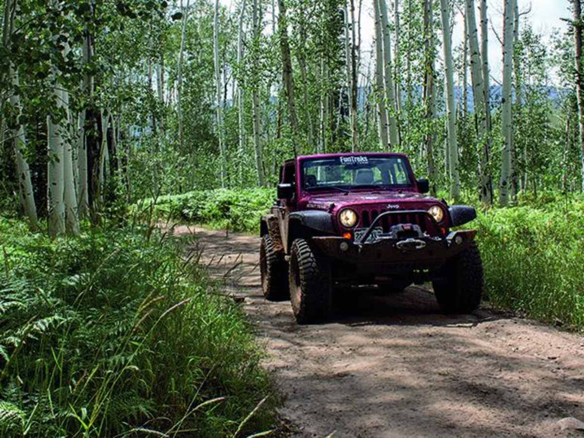
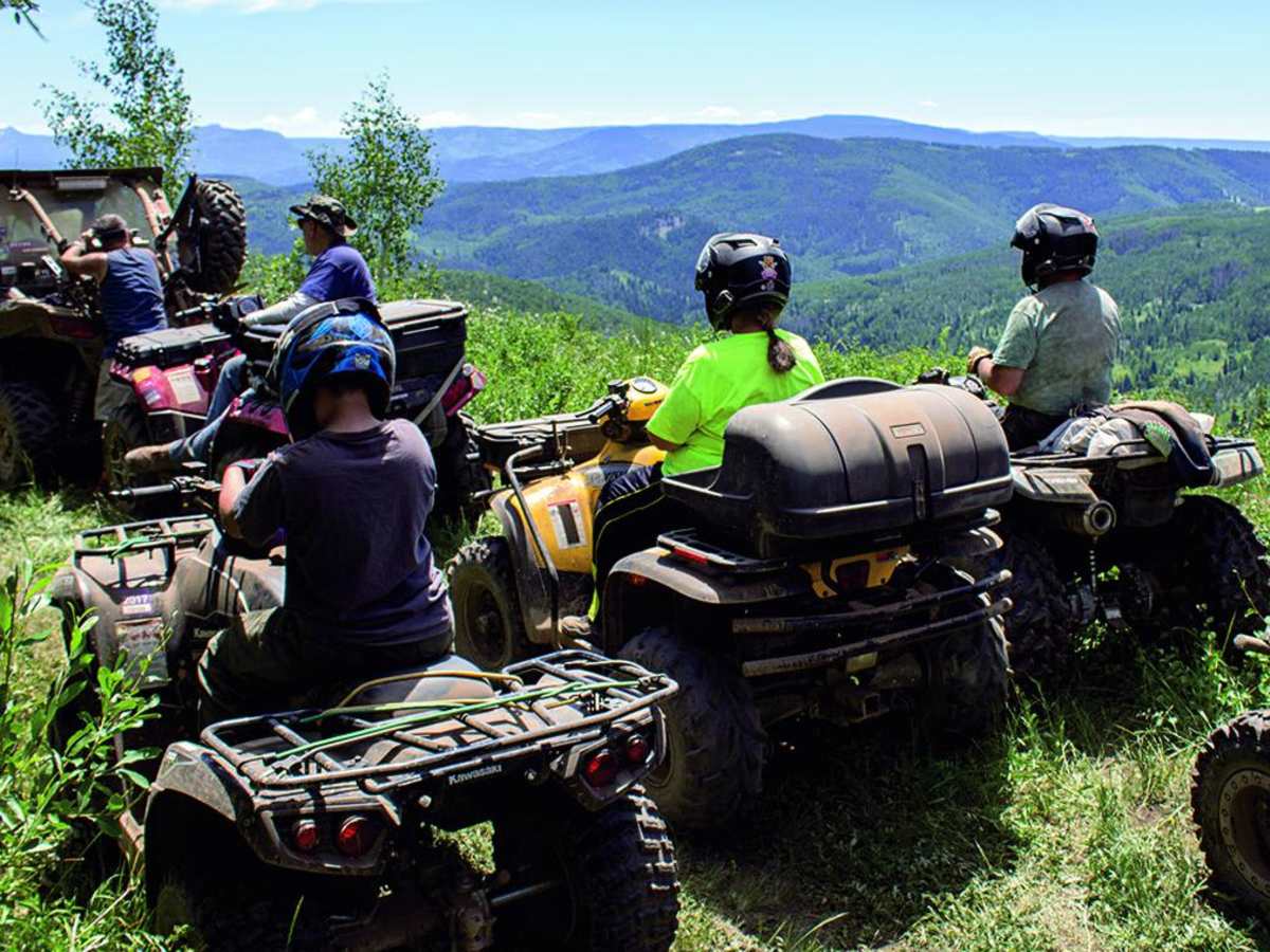
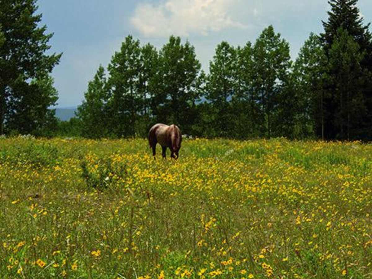
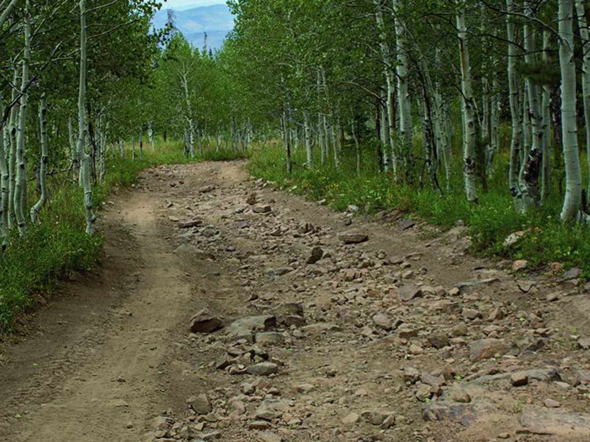
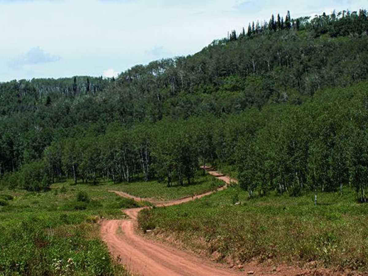
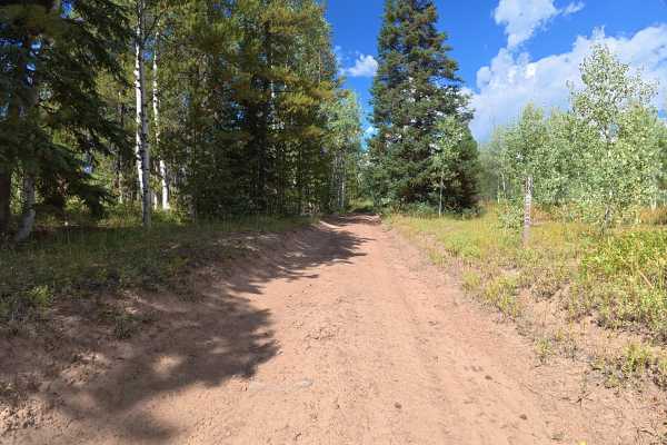
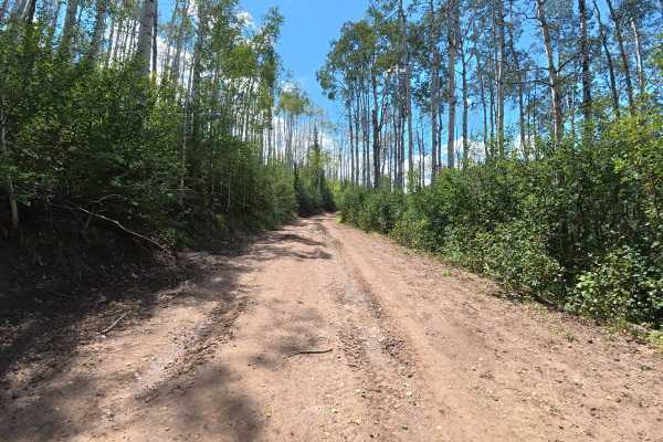
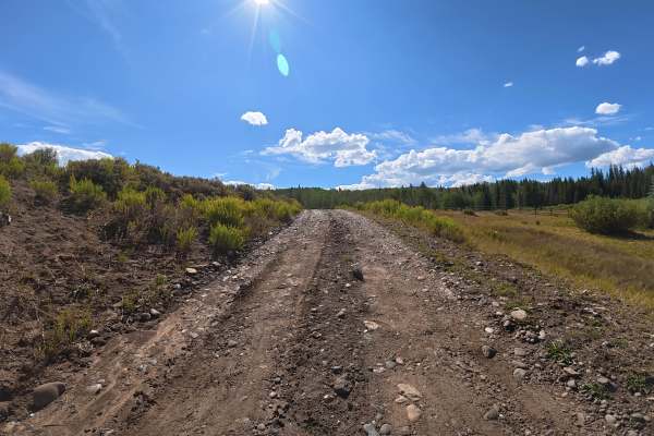
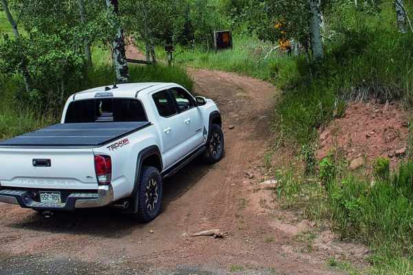
Sleepy Cat is an easy, scenic 24.7-mile point-to-point trail near Meeker, Colorado, that winds through beautiful alpine meadows and dense aspen groves, offering stunning views of the Flat Tops. Serving as a gateway to an extensive network of off-highway vehicle (OHV) trails, this route climbs from 6,960 feet to a peak elevation of 9,557 feet, making it popular for SxSs, dirt bikes, and stock four-wheel-drive vehicles. The primary surface consists of wide dirt and gravel roads, with an easy technical rating of 3 that provides a gentle introduction to the area’s rugged beauty. Starting near County Road 8 and heading north around Sawmill Mountain and Sleepy Cat Peak, the trail presents intermittent bumpy sections and can become slick or muddy during early season snowmelt or summer rainstorms. High-clearance vehicles are recommended to comfortably navigate rutted spots, and four-wheel-drive is highly beneficial when wet conditions arise. While the main route is accessible and straightforward, offroaders seeking greater challenges can easily explore the numerous branching side trails that offer varying levels of difficulty. Excellent opportunities for dispersed camping, hiking, and exploring the surrounding White River National Forest make this a prime location for multi-day offroad adventures.

Photos of Sleepy Cat

Difficulty

Easy. Wide dirt road with some intermittent bumpy sections. Four-wheel drive helpful but not necessary when road is dry. Early season conditions may be muddy. Unlicensed vehicles can find a wide range of difficulty on side trails.

Technical Rating

3

Status Reports

Add Status Report
Jonathan Herre
Aug 22, 2025
Temporarily Closed
Seasonal ClosureClosed GatePosted SignFire DangerWeather EventTrail Restoration
Road closed sign, South Entrance of Sleepy Cat (off of County 8). Speculation is due to the nearby Crosho Fire, but there is a large burn scar that runs along County Road 8 as you approach the trailhead from Meeker, so it coul be a safety issue as well.
Troy Wilson
May 24, 2025
Open
Muddy/WetSnow/IceRough/Deteriorated
Large snow drifts. Almost impassable by sleepy cat
Kyle C.
Jun 18, 2023
Open
DustyMuddy/WetRough/Deteriorated

Sleepy Cat Trail can be accessed by the following ride types:

  • Single Track
  • 50 Inch
  • 60 Inch
  • High Clearance
  • Full Width

Sleepy Cat Map

The onX Offroad Difference

onX Offroad combines trail photos, descriptions, difficulty ratings, width restrictions, seasonality, and more in a user-friendly interface. Available on all devices, with offline access and full compatibility with CarPlay and Android Auto. Discover what you're missing today!

Open Trail Map