Trail Overview
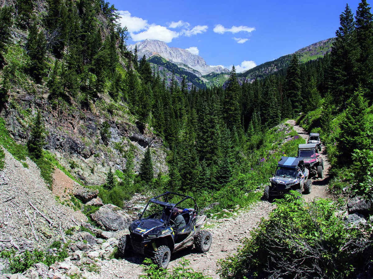
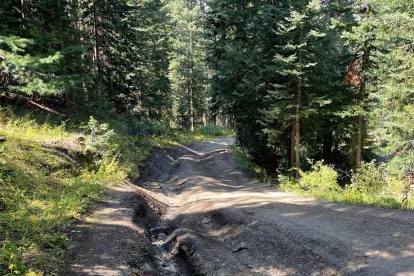
Lead King Basin is an exceptional high-country route for intermediate off-roaders looking to experience breathtaking wildflower displays, autumn colors, and stunning alpine vistas near Marble, Colorado. This 7.9-mile point-to-point trail climbs roughly 2,350 feet from Beaver Lake up into the spectacular basin, reaching a maximum elevation of 10,890 feet. While stock, high-clearance 4WD vehicles can successfully navigate the trail when dry, drivers should expect narrow shelf roads and a handful of rocky sections that demand careful tire placement. The western ascent is particularly steep and can become highly slippery and challenging during or after rain, requiring extra caution and appropriate tire tread.
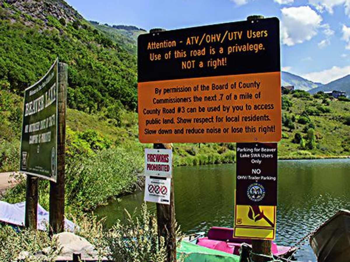
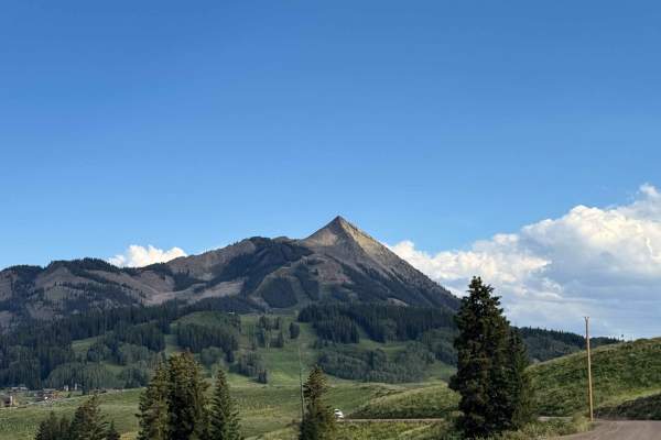
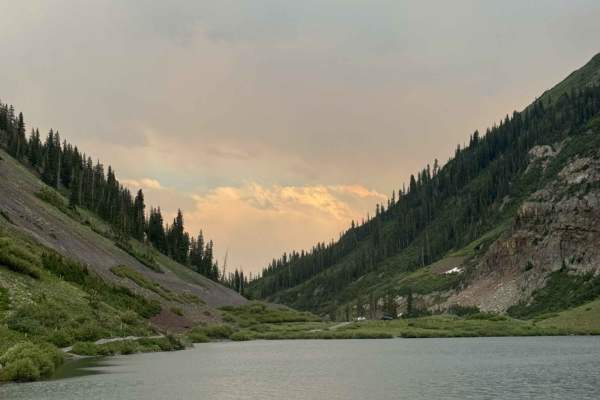
The trail serves as a scenic gateway that can be combined with Forest Service Road 314 and the rugged Devil's Punchbowl to form a legendary, challenging loop. Along the way, spectacular views of Sheep Mountain, Arkansas Mountain, and Crystal Canyon dominate the horizon, with the historic townsite of Crystal and its iconic mill nearby. Off-highway vehicles (OHVs) and unlicensed rigs are permitted on this route, with convenient staging available just south of the local fire station in Marble. Because snow lingers late into the summer at these high elevations, the route is best driven from late June through October when the pass is clear and the vibrant colors are at their peak.
Difficulty
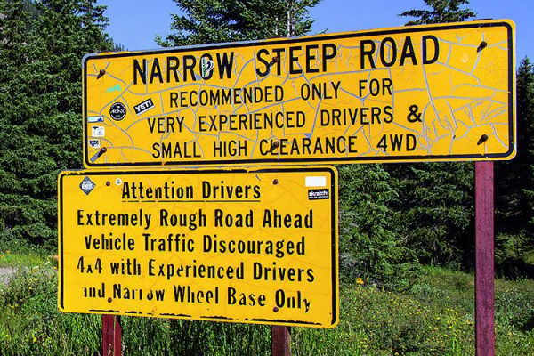
Difficult. Rating based on a few rocky spots and stretches of narrow shelf road where it is difficult to pass. An experienced driver can get a stock, high-clearance, 4x4 SUV through when the trail is dry. West end is steep and very slippery when wet.



 Offroad