Trail Overview
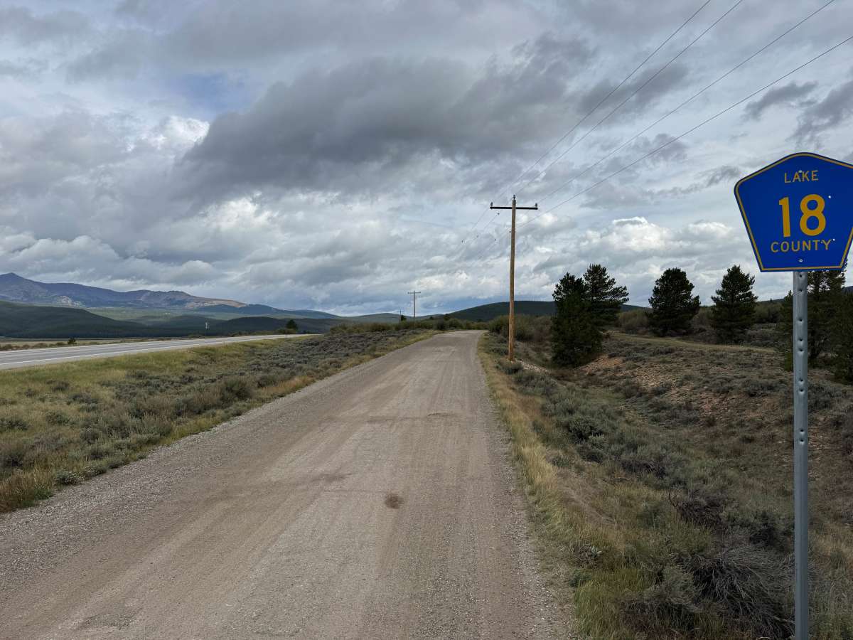
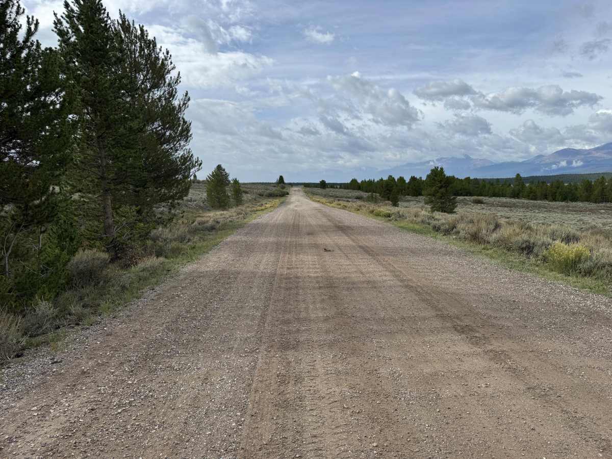
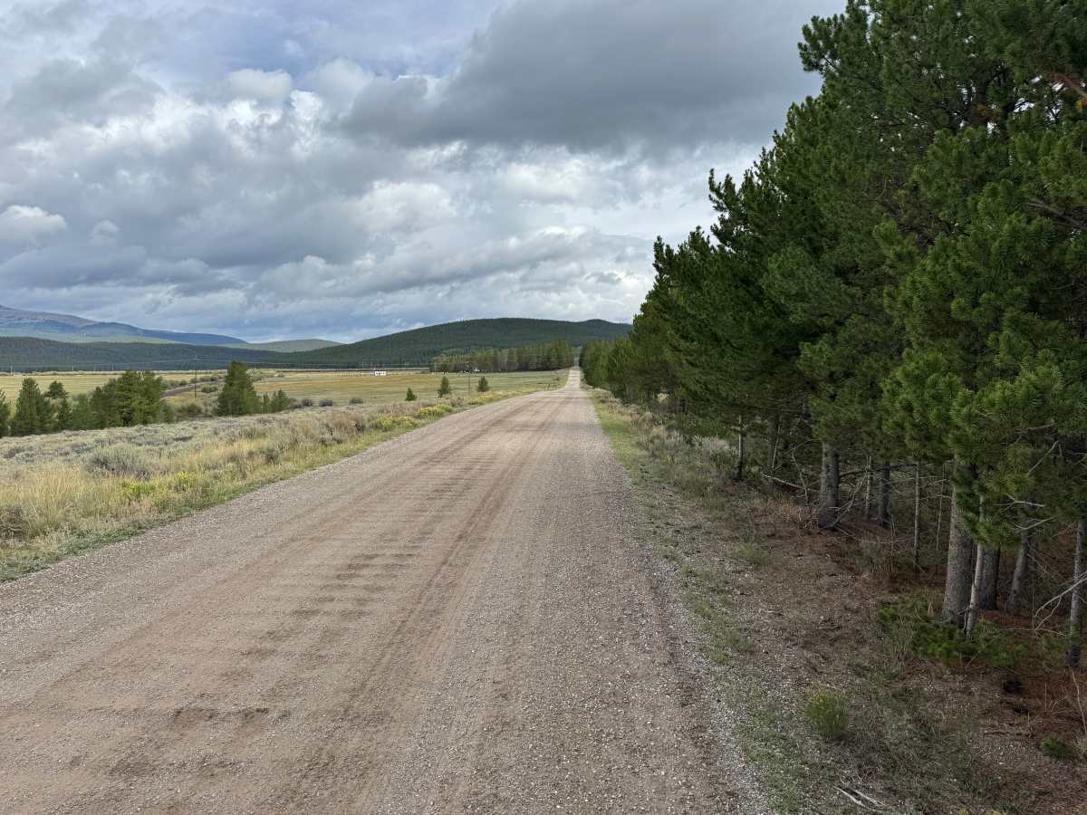
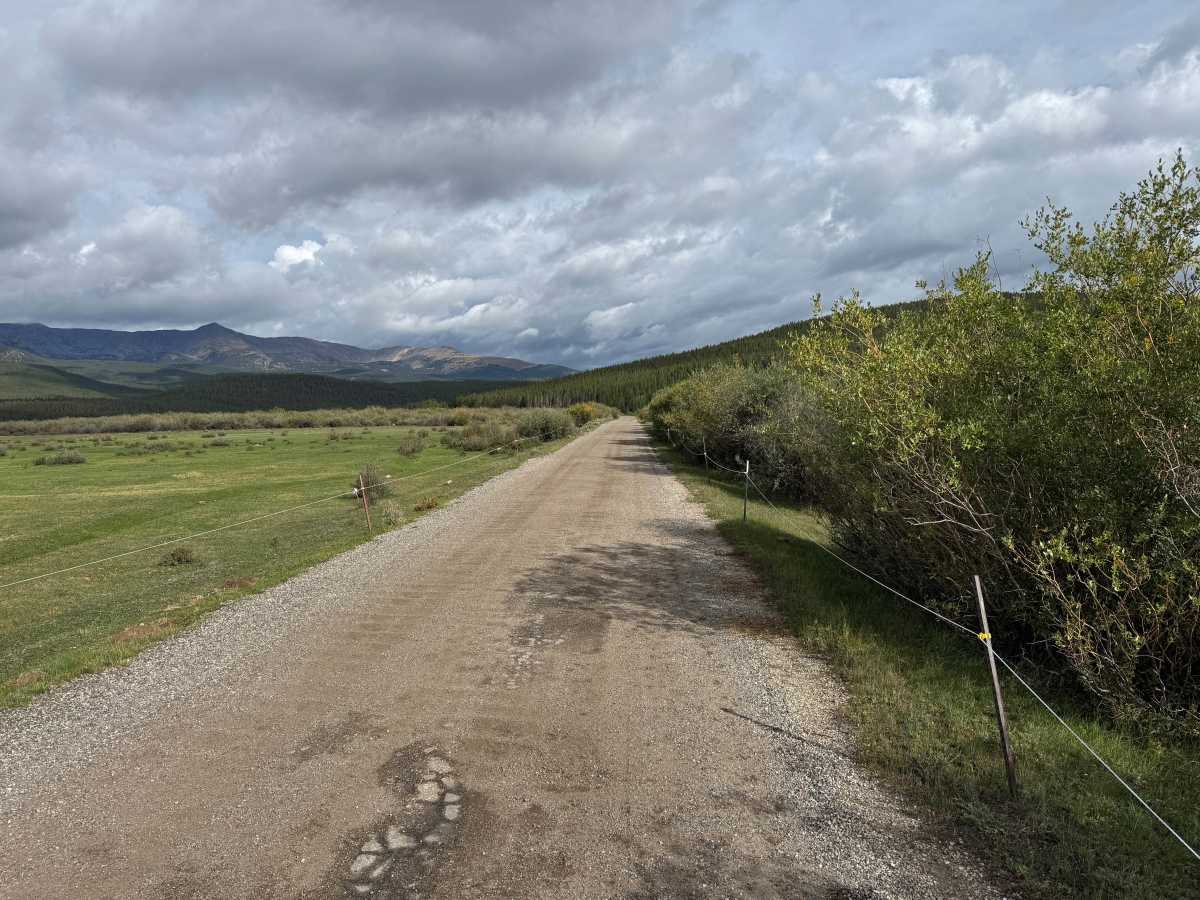
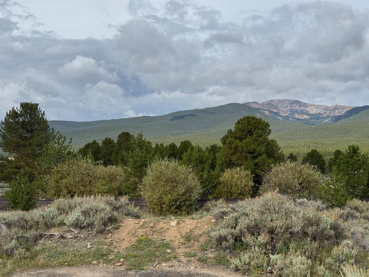
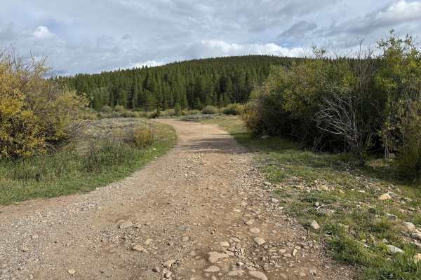
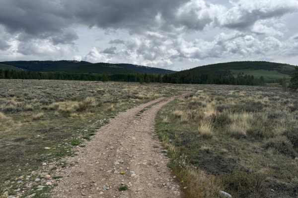
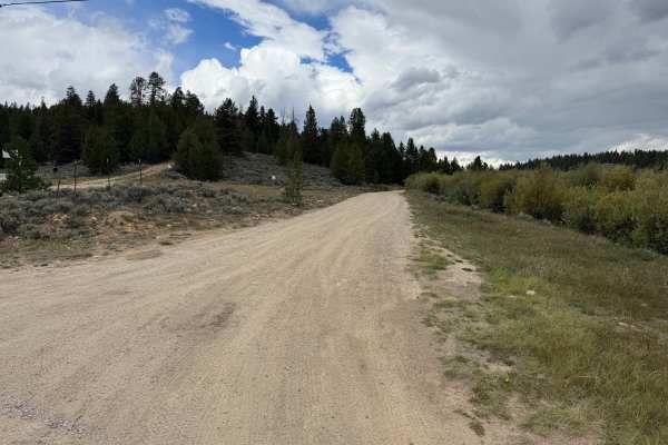
This out-and-back route travels through the White River National Forest and provides access toward East Tennessee Pass and the 10th Mountain Division hut system. The road consists primarily of well-maintained gravel and compacted dirt, with a broad, relatively smooth surface and only minor loose rock along the way. Much of the route passes through open high-elevation terrain covered in sagebrush, grasses, and scattered pine trees before transitioning alongside thicker forest and willow-lined meadows. Wide-open sections provide excellent views of the surrounding mountains and valleys. The route eventually reaches the now-inactive Denver and Rio Grande Western railroad tracks. Signs designate parking for the 10th Mountain huts, where visitors can leave their vehicle, cross the former railroad corridor on foot, and continue toward the huts.
History
The mountains north of Leadville have a long history connected to mining, transportation, logging, and early settlement. Tennessee Pass became an important transportation corridor through the mountains, while mining activity throughout the Leadville region resulted in numerous roads being constructed to reach mines, claims, camps, and other industrial sites. Railroads also played an important role in moving people, supplies, and ore through the region. Remnants of old roads, mine workings, structures, and other historic sites can still be encountered throughout the surrounding mountains.