Trail Overview
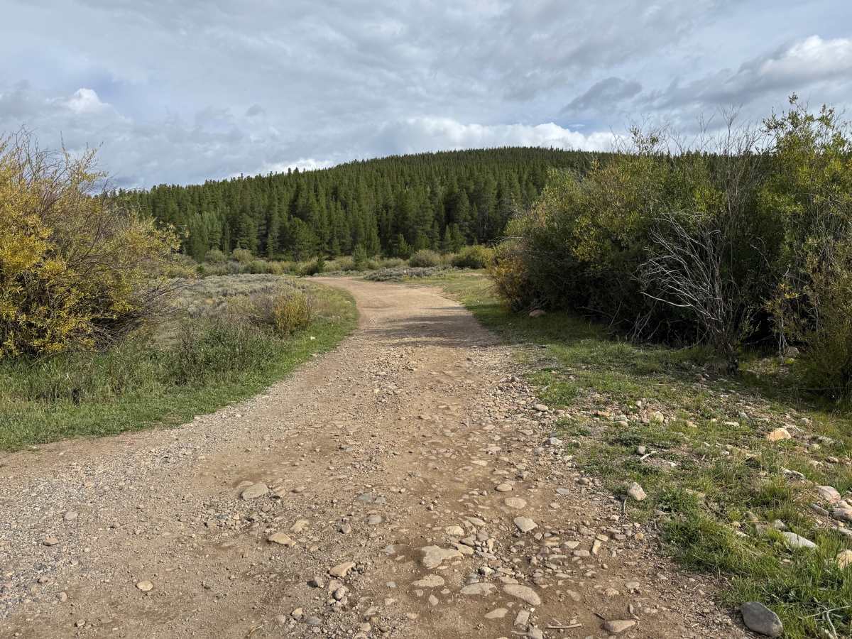
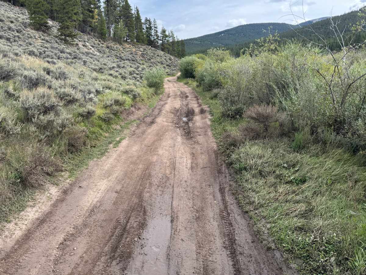
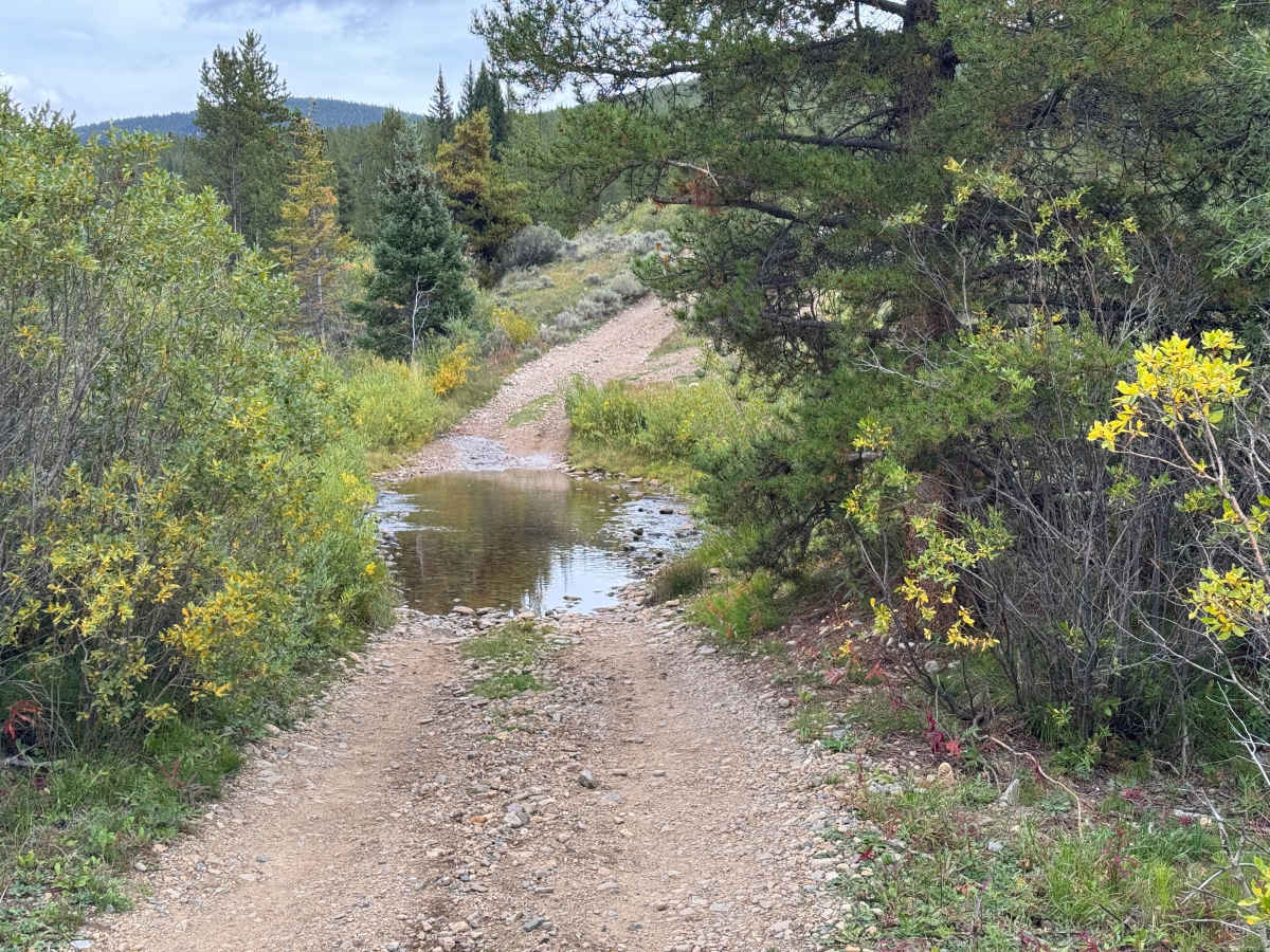
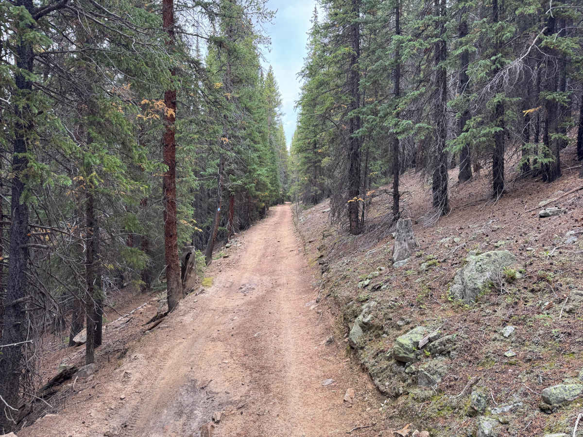
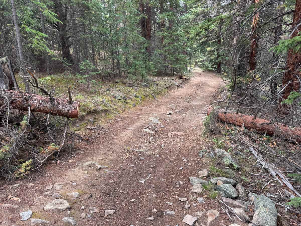
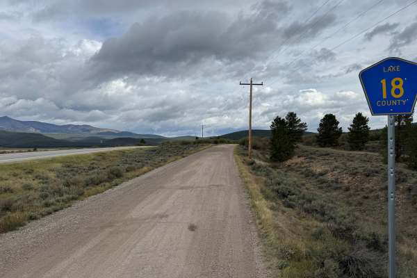
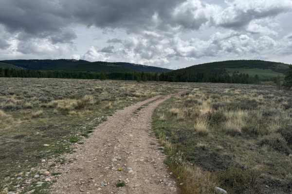
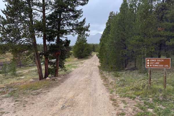
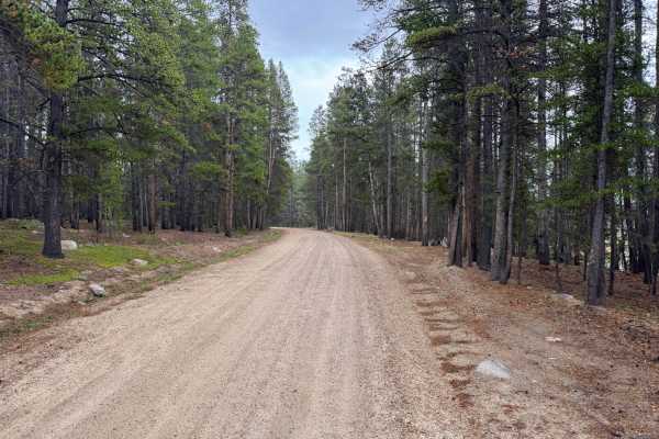
East Tennessee is a seasonal route traveling through a mix of open meadows, dense willows, and pine forest before ending near the Cooper Ski Resort area. The route is open to motorized travel from September 1 through May 1 and closed from May 2 through August 31. The trail begins relatively smooth with a dirt and gravel surface but gradually becomes narrower and rougher. Farther along, expect embedded and loose rocks, shallow ruts, muddy sections, and a creek crossing with a rocky bottom. Dense willow growth crowds the trail in several areas, while the forested sections become narrow and winding between the trees. Dispersed campsites can be found along the earlier portions of the route.
Difficulty
The trail has sections of exposed embedded rock, loose rock, shallow ruts, muddy two-track, and a shallow rocky water crossing. Some areas narrow considerably through vegetation and forest, with uneven surfaces requiring careful tire placement.
History
The mountains north of Leadville have a long history connected to mining, transportation, logging, and early settlement. Tennessee Pass became an important transportation corridor through the mountains, while mining activity throughout the Leadville region resulted in numerous roads being constructed to reach mines, claims, camps, and other industrial sites. Railroads also played an important role in moving people, supplies, and ore through the region. Remnants of old roads, mine workings, structures, and other historic sites can still be encountered throughout the surrounding mountains.