Trail Overview
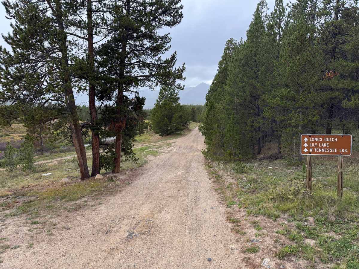
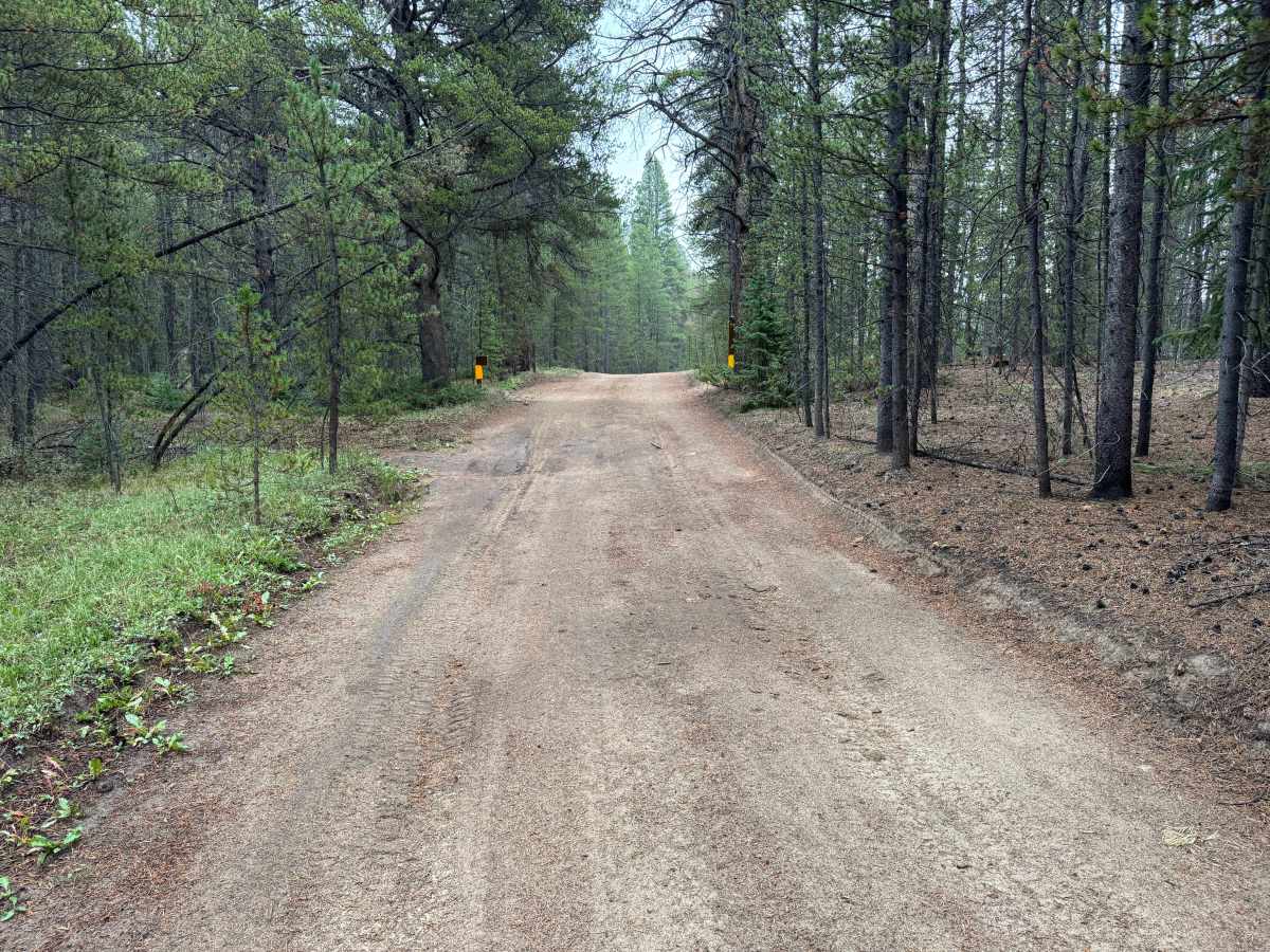
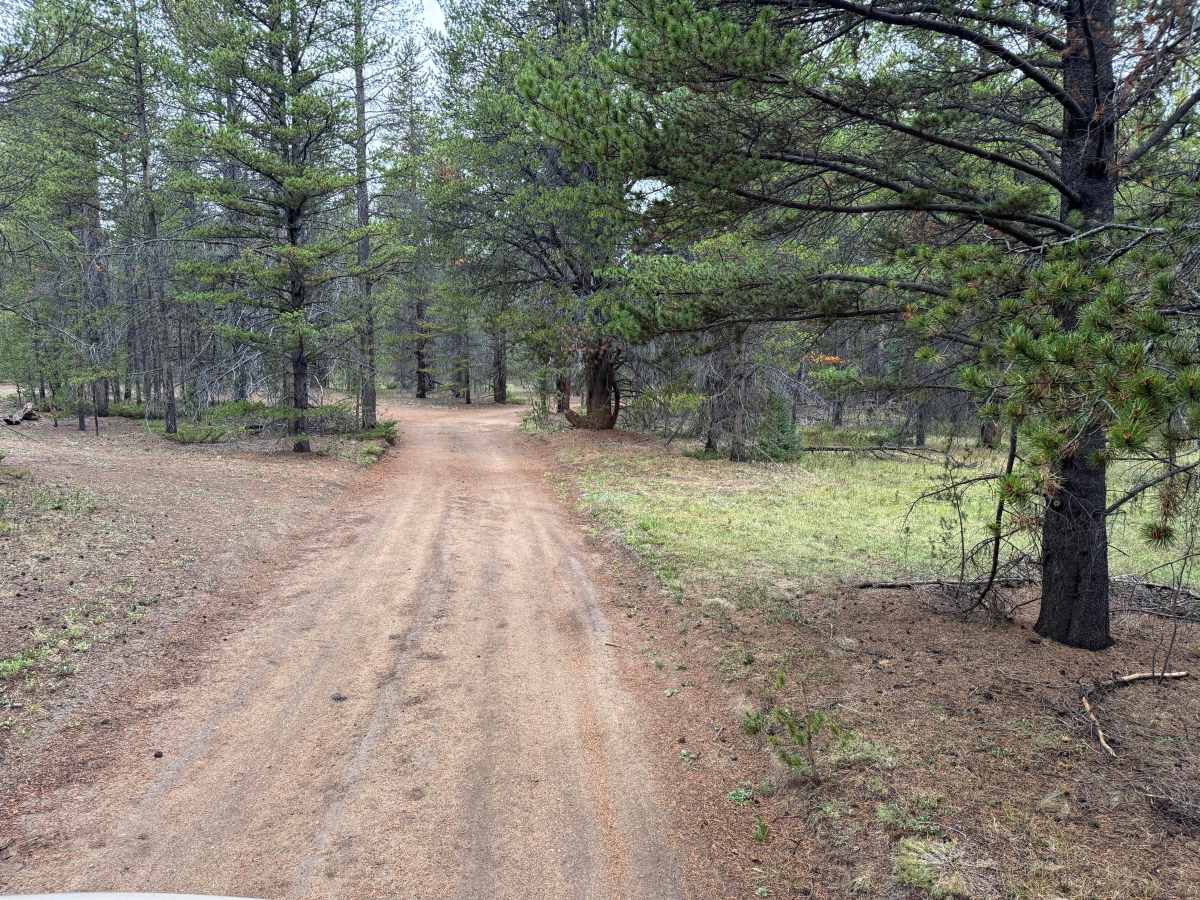
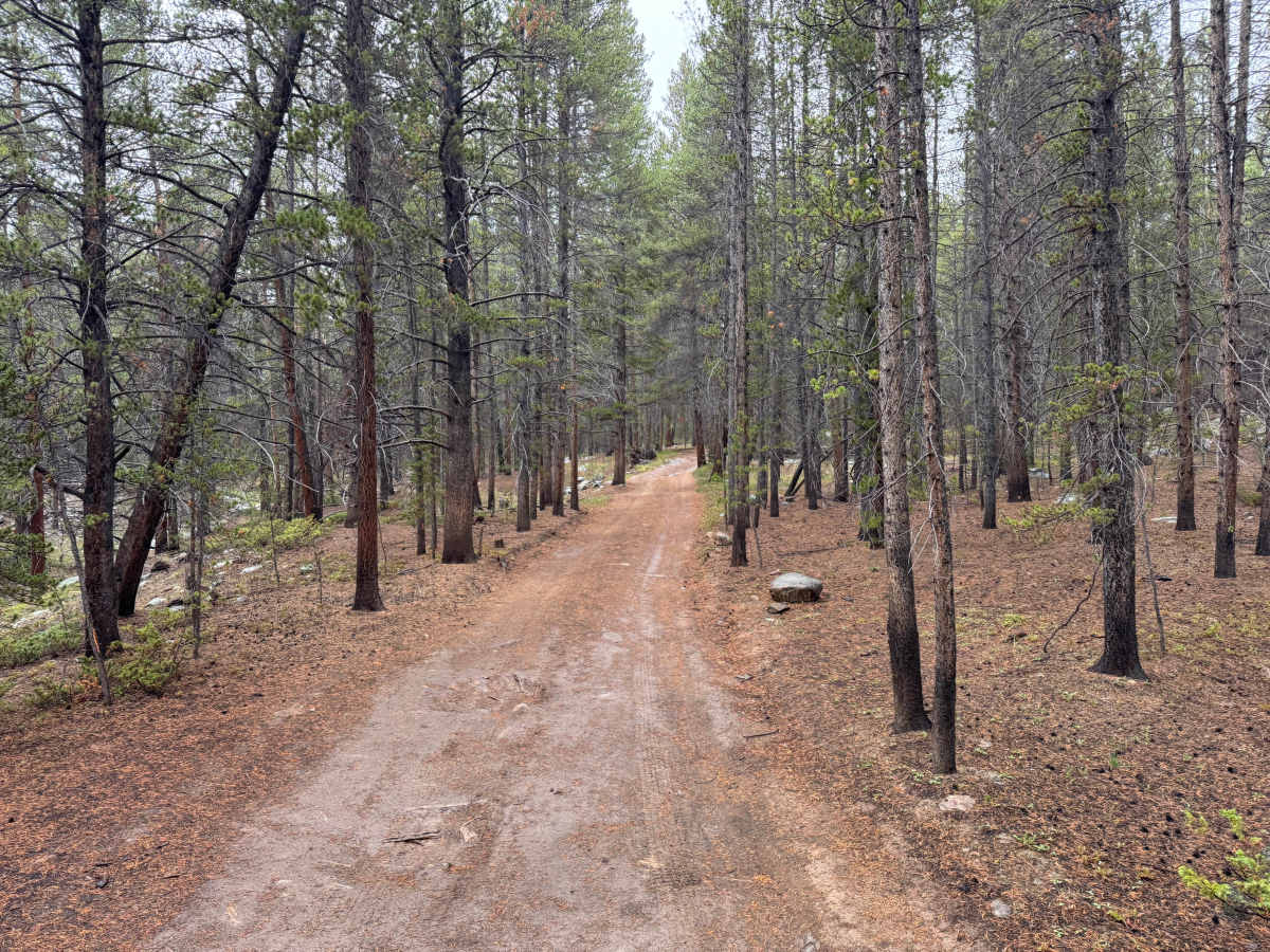
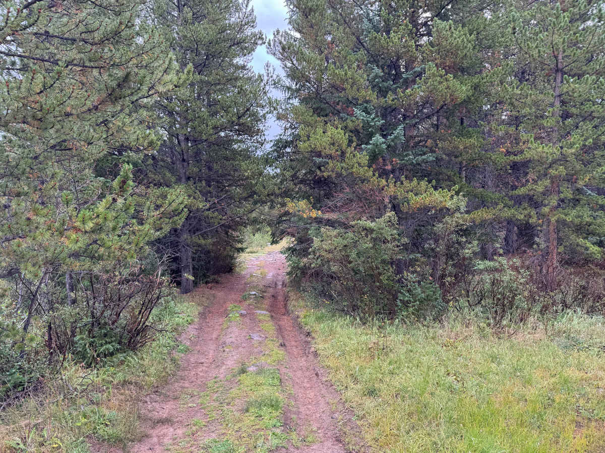
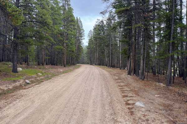
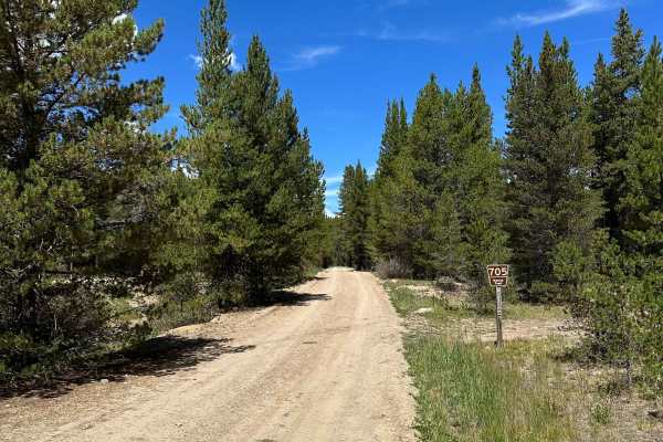
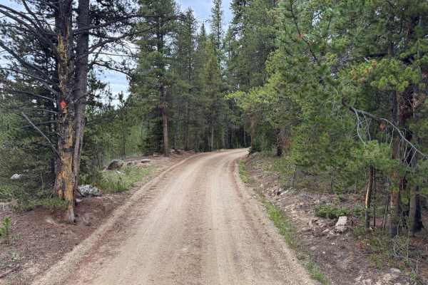
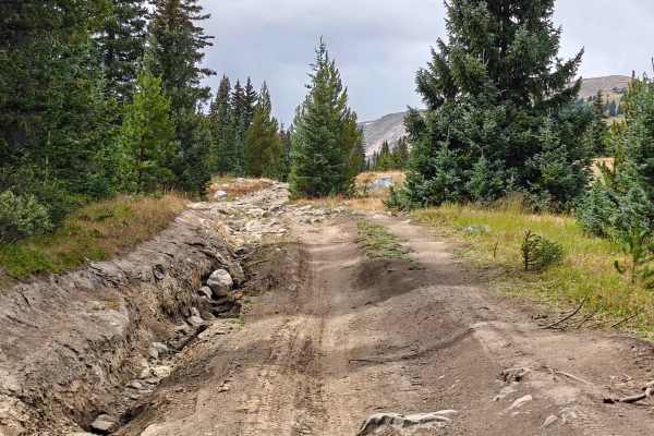
The route begins as a wide, well-maintained dirt and gravel road with a mostly smooth surface and gradual grades. It travels through dense lodgepole pine forest with occasional openings that provide views toward the surrounding mountains. Several dispersed camping areas and spur roads can be found throughout the forest along the way. As the route continues toward Lily Lake, the road gradually narrows from an easy two-vehicle-wide road to a single-vehicle-width trail. The surface also changes from graded gravel to native dirt with scattered rocks, shallow ruts, and areas that can become muddy after rain. Vegetation grows closer to the trail near the end, creating a more enclosed forest setting as the route approaches Lily Lake and the Holy Cross Wilderness boundary. Motorized travel on this route is seasonally open from May 21 through November 22 and closed from November 23 through May 20.
Difficulty
The route is mostly smooth, graded dirt and gravel with gradual grades and few obstacles. Near Lily Lake, it narrows and becomes rougher, with scattered rocks, shallow ruts, and muddy sections after rain.
History
This area has a diverse history tied to mining, railroads, early transportation routes, and military training. Red Cliff developed during Colorado's mining era, while railroads and mountain roads were constructed through the surrounding valleys and passes to connect mining communities. Camp Hale was established during World War II as the training center for the U.S. Army's 10th Mountain Division, whose soldiers trained in the area's rugged winter mountain terrain before fighting in Europe. Remnants of mining, railroad, transportation, and military history can still be found throughout the surrounding mountains and valleys.