Trail Overview
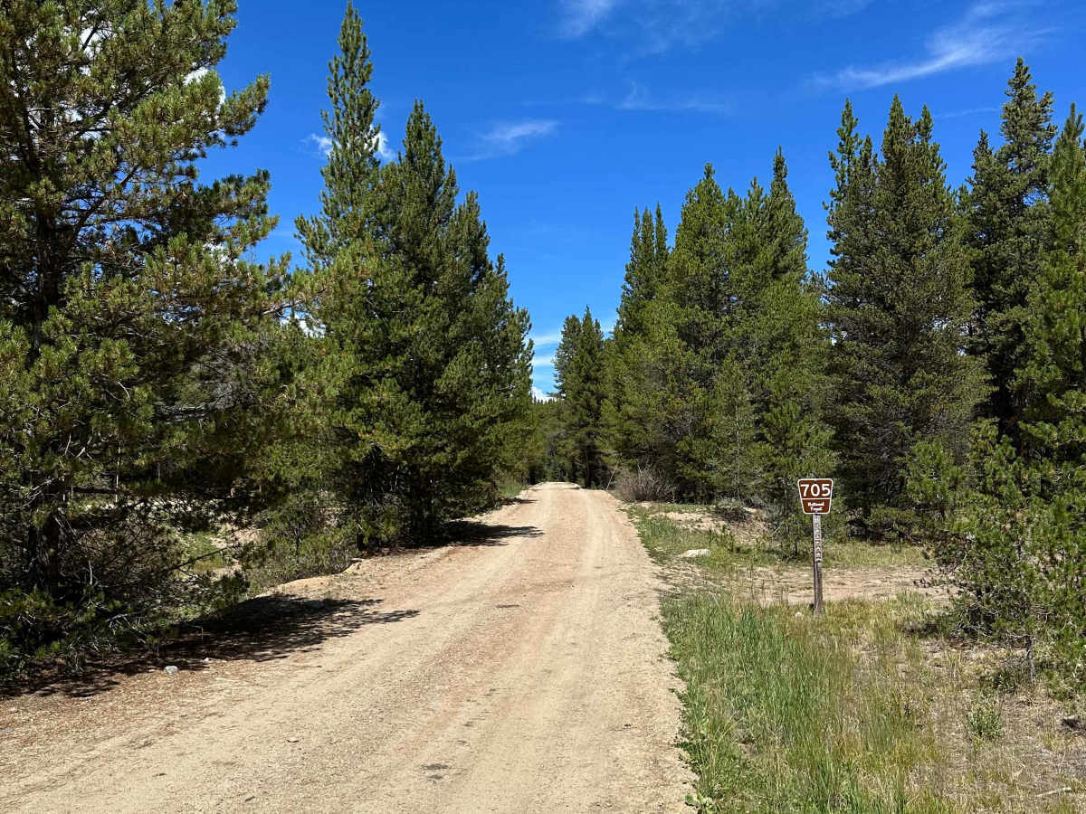
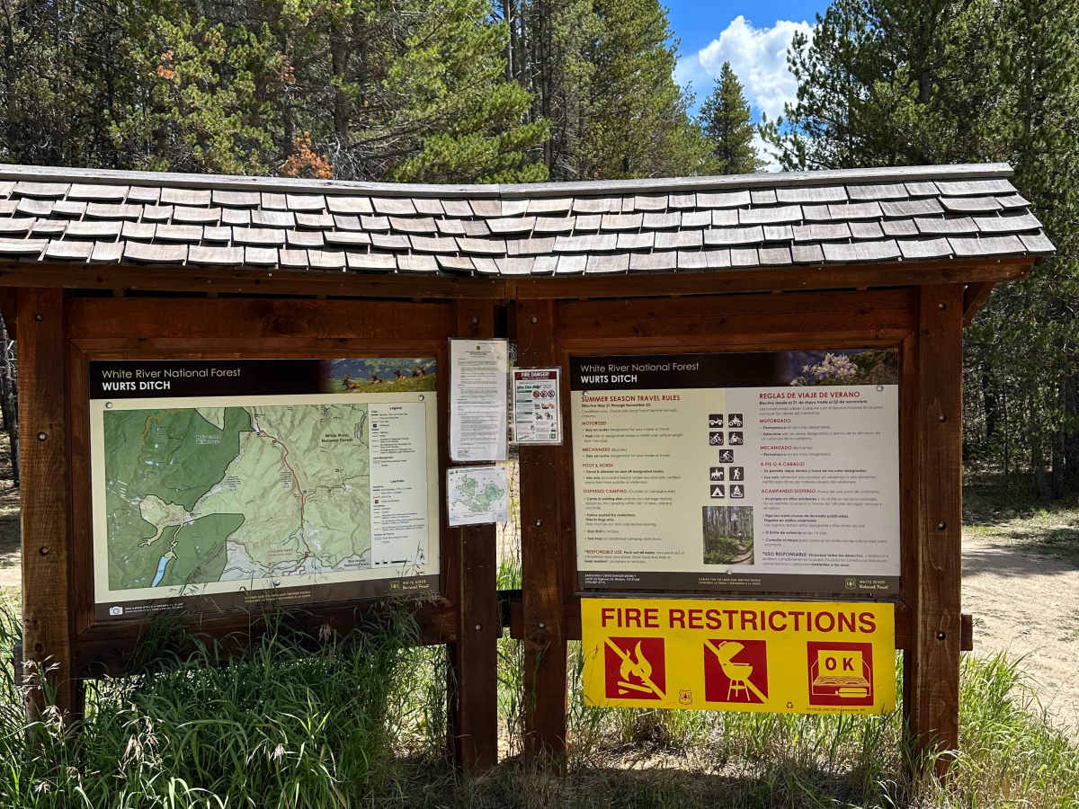
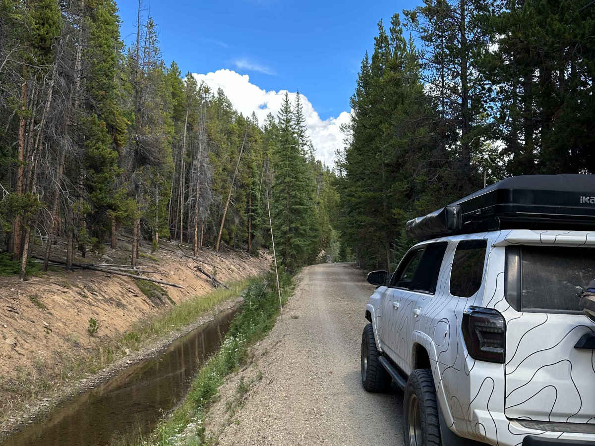
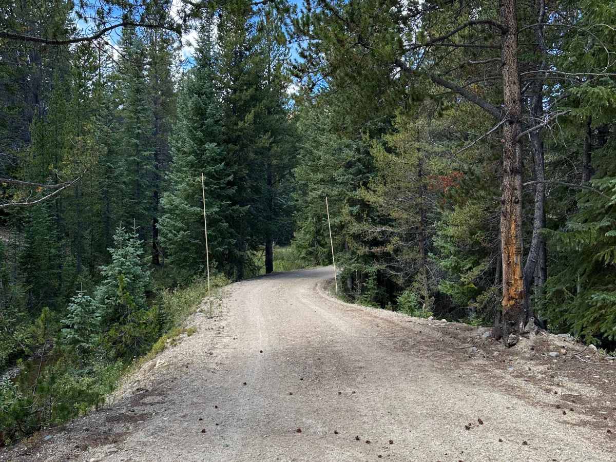
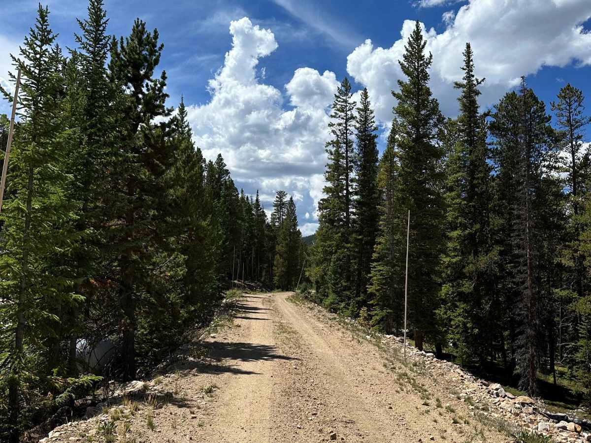
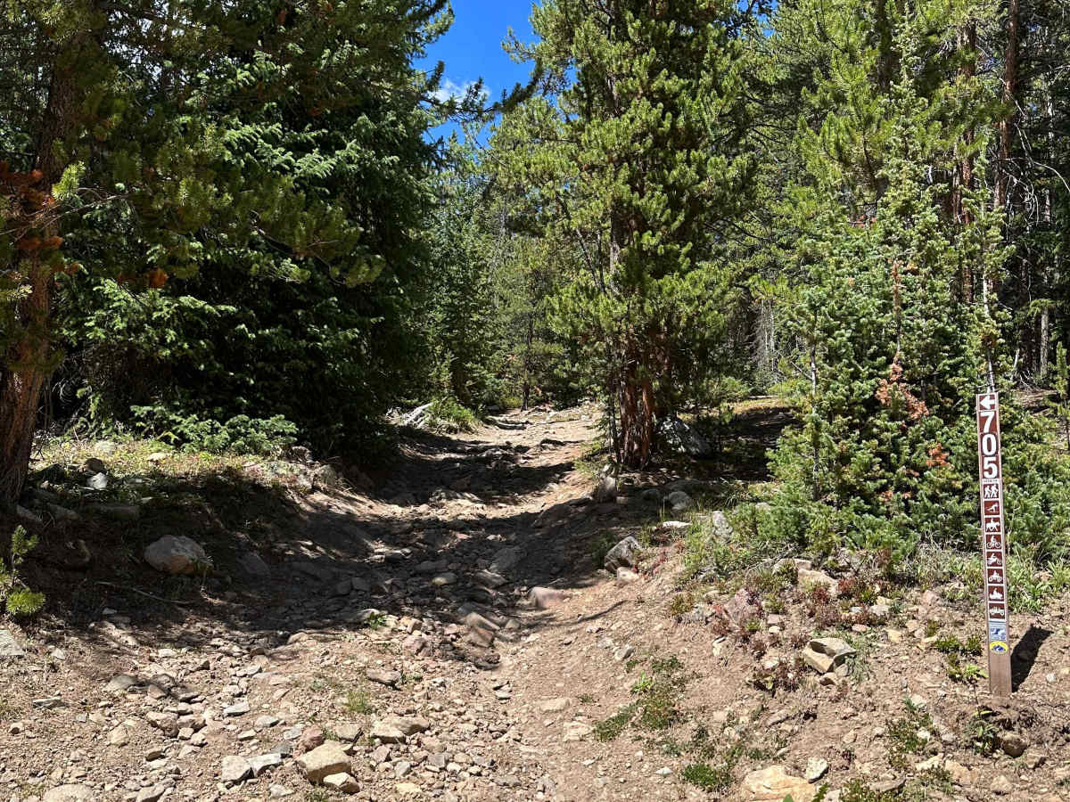
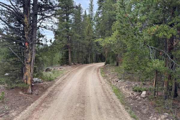
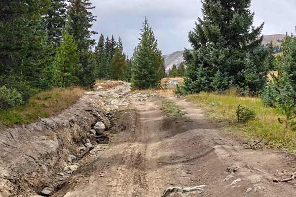
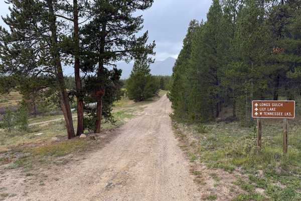
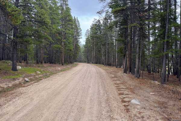
This Forest Service (705) road highly recommends a high-clearance 4WD vehicle. From both entrances, the road starts relatively easy and smooth. However, as you get closer to the middle of the trail, conditions change a little bit, with steep descents and climbs, exposed roots, and large rocks along the trail. There is one water crossing that is approximately 6 inches deep and typically has little to no current under normal conditions. At the start of the south end of the trail, use extra caution, as the road is fairly narrow with some sharp turns and runs alongside Wurts Ditch.
History
The mountains surrounding Eagle, Edwards, and Avon have long been used for transportation, ranching, grazing, timber, mining, and recreation. Many of the roads found throughout the area developed from older access routes connecting ranches, mountain valleys, grazing areas, and resource sites. The region's history is closely tied to the Eagle River Valley, which became an important transportation corridor through the central Colorado mountains. Remnants of earlier land use and historic routes can still be encountered throughout the surrounding public lands.
Access Description
The area can be accessed from several points near Eagle, Edwards, and Avon along the I-70 and Highway 6 corridor. Numerous county roads, forest roads, and smaller mountain routes branch away from the valley and provide access into the surrounding mountains. Pay attention to seasonal closures, private property boundaries, and posted route restrictions when choosing an access point.